Baedeker, Karl:Livre Rare Book

4 résultats
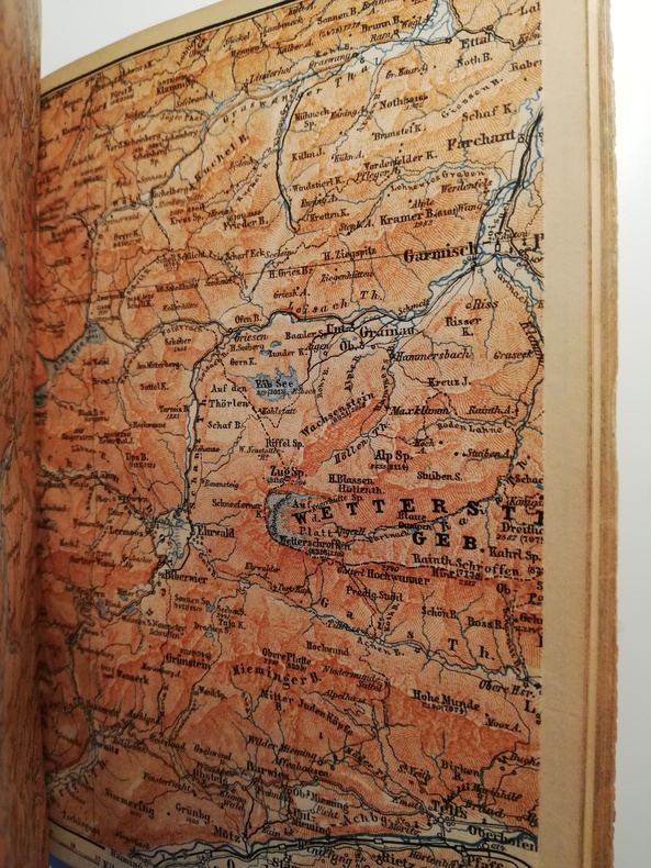
1900BDK42MBaedeker/ Dulau. Leipzig/London., 1900. 13th revised edition; as far as the Bavarian and Austrian Frontiers. . xxxiv, 430 pp.. With 34 maps and 65 plans. Small-8vo. Editor's limp cloth. hardcover
1887BDK34MLeipzig: Karl Baedeker, 1887. Sixth Edition, Revised and Augmented. Including Hungary and Transylvania : With 14 Maps and 30 Plans, Coral cloth over stiff card covers, title stamped in gilt onto upper cover and spine, marbled edges, 16mo (6-1/4 inches [16 cm] tall), pp. xvi, 441.
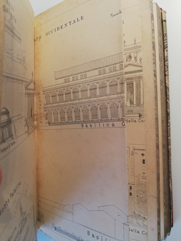
1887BDK71MLeipzig 1887 13th ed. 12mo., 465pp., avec un panorama de Rome, une vue du forum Romain, une planche reporduisan les armoiries des papes depuis 1417, 8 cartes et 31 plans,complet de l'indicateur et plans de ROME.
1895BDK52MKarl Baedeker Leipsic, 1895. 8vo(15.8x10.6) Softcover 266pp with all maps intact. Red cloth with gilt lettering. With 16 maps and 15 plans.