ORTELIUS Abraham:Livre Rare Book
43 résultats
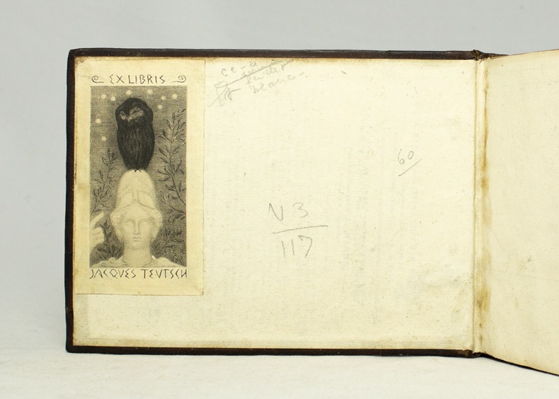
159516728Antverpiæ, Philippo Gallæo execudebat Arnoldus Coninx, 1595. In-8 oblong de [8]-109-[2] feuillets, plein maroquin brun, dos à nerfs orné de double D entrelacés, plats décorés d'un cartouche ovale doré, orné d'une composition allégorique, double filet doré encadrant les plats, tranches dorées. Reliure début XVIIème siècle. Ex-libris Jacques Teutsch.
15950044291595 [Anvers], Ortelius, 1595. Deux cartes (51 X 39 cm) et (50 X 33 cm) sous cadres en pichepin.
158054214(Antwerpen ca. 1580). 32 x 41 cm. Kobberstukket Danmarkskort i original håndkolorereing. Med Skåne, Halland og Blekinge samt den nordlige del af Tyskland.Foldningen fint forstærket på bagsiden med japanpapir.
1574LBW-589Anvers 1574-1575 363 x 434 mm.
15950044301595 [Anvers], Ortelius, 1594. Carte (557 X 405 mm, marges comprises) sous cadre en bois noirci moderne.
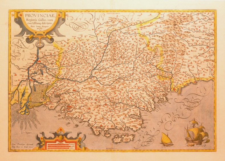
1592LBW0251e[Anvers, 1592]. 349 x 496 mm.
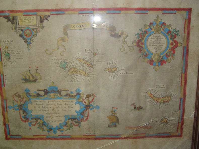
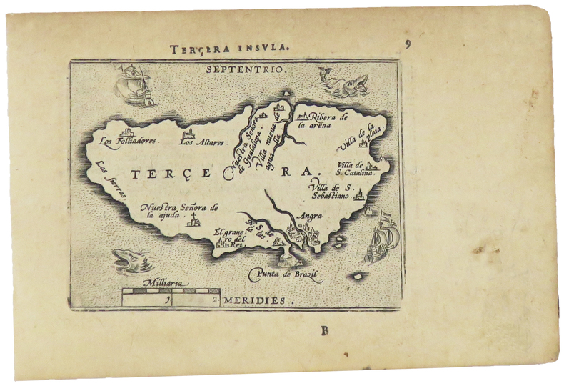
1584224251584 Orig. copper-engraving. Published by A. Ortelius after to L. Teixeira's map of the Açores. Dated 1584. Coloured. With title in decorative border, 3 ornamental cartouches, 2 ships, sea-monster and "Scala Leucarum". 32,5:46,5 cm (12 3/4 x 18 1/4 inch.) 2,5 x 46,5 cm Van der Krogt, Koeman's Atlantes Neerlandici, Vol. III B, 6350:31; Van den Broecke, Ortelius Atlas Maps, Nr. 24. - Stammt aus einer von fünf lateinischen Ausgaben, die in den Jahren 1595 - 1612 erschienen. Alle tragen das Datum 1584 in der großen Kartusche.A splendid sea chart of the Azores with three scrollwork cartouches; the ocean is decorated with sailing vessels. A fresh example of this scarce sea chart, based on Teixeira's single sheet map of Terceira from 1582, and a later manuscript atlas of the Azores islands. The Azores played a significant role in international sea trade as a victualling stop and shelter for ships sailing into the South Atlantic. In very good condition. The map was first issued in an edition of 100 examples in the Additamentum to the 1583 edition of Ortelius' Theatrum Orbis Terrarum, which is widely referred to as the first modern atlas and a landmark in the history of Western map making. Beginning in 1570, Abraham Ortelius and his successors published (and continuously added to) this monumental work for a period of over 40 years (not including the very rare edition of 1641), with text on the verso in Latin, Italian, German, Dutch, French, Spanish and English.References: Van Den Broecke 24. Meurs p 253-254.
1598LBW-5386[Anvers, 1598]. 80 x 107 mm.
1598LBW-1424[Anvers, 1598]. 82 x 102 mm.
1598LBW-1390Anvers 1598 82 x 108 mm.
1598LBW-1431[Anvers, 1598]. 80 x 106 mm.
1598LBW-1432Anvers 1598 82 x 106 mm.
1598LBW-1405[Anvers, 1598]. 82 x 106 mm.
1598LBW-1419Anvers 1598 82 x 106 mm.
1598LBW-1430Anvers 1598 81 x 105 mm.
1598LBW-1403Anvers 1598 81 x 107 mm.
1598LBW-1391Anvers 1598 81 x 106 mm.
1598LBW-1425Anvers 1598 80 x 105 mm.
1598LBW-1428Anvers 1598 81 x 105 mm.
1598LBW-1400[Anvers, 1598]. 82 x 103 mm.
1598LBW-1417[Anvers, 1598]. 82 x 107 mm.
1598LBW-1406Anvers 1598 80 x 105 mm.
1598LBW-1407Anvers 1598 82 x 106 mm.
1598LBW-1398Anvers 1598 80 x 102 mm.
1598LBW-1499Anvers 1598 81 x 104 mm.