(Scotland) Dalyell, John GrahamBiblio.com

105 résultats
182624587Edinburgh: Printed for W. and C. Tait by W. Aitken; Printed by George Ramsay for Archibald Constable and Company 1826. First editions. Only 120 copies were printed of the last work according to a contemporary manuscript note. Handcolored initial on frontispiece engravings engraving at the back of the second work. Frontispiece of the third volume loose. 3 vols. 8vo. Uniformly bound in brown calf spine decorated in blind and gilt with arabesque lozenge on each cover from the library of William Gordon of Fybie with bookplate. Spines and joints quite rubbed upper joints starting some offsetting or spotting mostly at front and back else a very attractive work in a brown cloth box. First editions. Only 120 copies were printed of the last work according to a contemporary manuscript note. Handcolored initial on frontispiece engravings engraving at the back of the second work. Frontispiece of the third volume loose. 3 vols. 8vo. Printed for W. and C. Tait by W. Aitken; Printed by George Ramsay for Archibald Constable and Company unknown
1821221500Edinburgh: William Blackwood 1821. First Editions of both First and Second Series. 2 vols. 8vo. Original boards paper spine labels. Spine chipped joints shaky else Very Good. First Editions of both First and Second Series. 2 vols. 8vo. William Blackwood unknown
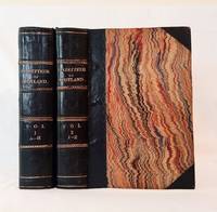
1848B6267Edinburgh: A. Fullarton & Co. 1848. Hardcover. Very Good. Scattered foxing; Contemporary half balck calf marbled baords. With numerous steel engravings. ; Large 8vo 9" - 10" tall; lxiv814;ii852 pages . A. Fullarton & Co hardcover
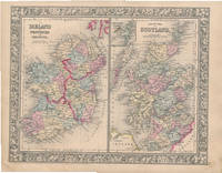
186046951New York: S. Augustus Mitchell Jr. 1860. Folio 15¼" X 12¼" image area 13½" X 10½". Hand colored. Very good. Light age toning and faint soiling. Nicelyicely-colored side-by-side map of these United Kingdom countries from the 1864 edition of "Mitchell's New General Atlas Containing Maps of the Various Countries of the World Plans of Cities Etc." Sharp floral border. S. Augustus Mitchell, Jr. unknown
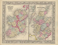
186045844New York: S. Augustus Mitchell Jr. 1860. Folio 15¼" X 12¼" image area 13½" X 10½". Hand colored. Very good. Mild age toning. Attractive nicely-colored side-by-side map of these United Kingdom countries from the 1864 edition of "Mitchell's New General Atlas Containing Maps of the Various Countries of the World Plans of Cities Etc." Handsomely colored and with fine decorative border. S. Augustus Mitchell, Jr. unknown