ENGLANDLivre Rare Book
6 résultats
187370234Couverture rigide. Reliure toile de l'éditeur. 830 pages.
186263036Couverture rigide. Reliure toile de l'éditeur défraîchie. 366 pages. Dos réparé. Rousseurs.
1848HIS1530C114GAR1848 / Environ 500 pages par Volume / Approximately 500 pages by Volume. Editions London : Printed for Longman Brown Green and Longmans. Reliés au format : 14 x 22 cm.
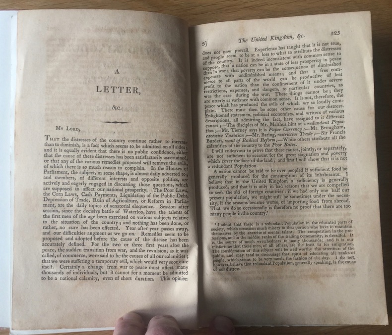
1820UUI-11959In-8 broché sous couverture de relais, London, 1820, paginé 524-532. Bon état général, bel exemplaire de ce texte rare et recherché, un Premier Ministre publiant de façon anonyme… Poids 40 g. Envoi lettre verte. Frais d'envoi 2,32 euro sur la France, 3,30 euros pour l’étranger (tarifs de base hors envois suivis). Twitter : @Pontneuf06.
185259975Colored folding map, mounted on linen, G. F. Cruchley, 81 Fleet Street, London, s.d. [ circa 1850-1860 ], 79 x 66,5 cm. Full title : Cruchley's Reduction of his Large Map of England and Wales with Part of Scotland ; Showing all the Railways & Turnpike Roads with the Great Rivers and the course of the different Navigable Canals : The Market and Borough Towns and principal places adjoining the Road ; to which is added the distance from one market town to another, with the exact admeasurement prefixed to each from the metropolis.
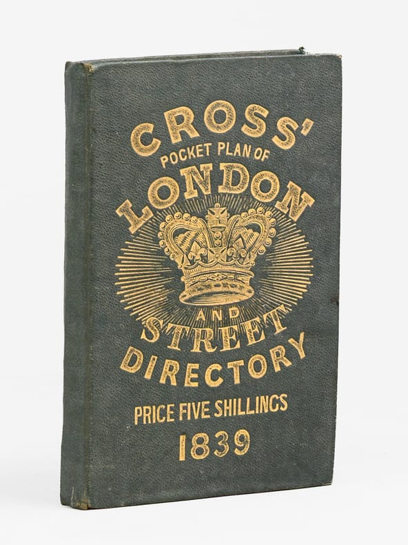
1839715771 carte dépliante en entoilée en couleurs, format 44 x 75 cm sous chemise cartonnée avec liste de repérage, Engraved & Published by J. Cross, 18, Holborn opposite Furnival's Inn. J. Cross, London, 1839