PAYS DE GALLESLivre Rare Book
12 résultats
188053815- Une feuille 19 x 28 cm. Rousseurs en marge.
1899vz275Imprimerie Lafolye Plaquette 1899 In-8 (15,1 x 22,6 cm), plaquette, 11 pages, extrait de la Revue Historique de l'Ouest ; réparation au ruban adhésif au dos, tampon au premier plat, deux petites déchirures sans manque sur le bord supérieur du volume, assez bon état général. Livraison a domicile (La Poste) ou en Mondial Relay sur simple demande.
188929008Senlis Imprimerie De Eugène Dufresne 1889 In-8 83 pp - gravures dépliantes
1894GITa49Paris Jeandé 1894. In-8 248pp. Demi toile noire, rel époque. Orné d'un frontispice et de 3 illustrations hors texte comprises dans la pagination. Sans les pages I à VI (lettres des Dr Beddoe et Guibert), dernière page de table tachée avec perte de texte. Reliure modeste fanée, cachets de bibliothèque.
187094929London - Edinburgh - New York, T. Nelson and Sons, coll. « Nelson’s Pictorial Guide-Books for Tourists » 1870 In-16 à l’italienne 10,5 x 16,5 cm. Cartonnage éditeur percaline verte, dos muet, vignette en couleurs contrecollée sur le premier plat encadré d’un triple filet doré, 9 gravures en couleurs dont 2 en doubles pages, 3 vignettes en noir dont cul-de-lampe.
1875265651875 NY: The Literary and art publishing company, 1875.cartonnage prune decoré - First Edition. 8vo, pp. 672. Bound in cloth stamped in gilt, some moderate foxing, a very good copy.
1878PHO-303
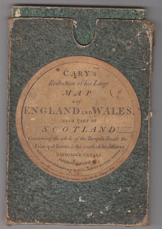
1824243011824 London: J. Cary(1830). Folding map. 24 sections laid on linen. Outline hand-colour borders to the county borders. Grubby linen backing with some browning but not generally affecting the map papers.With the original slip-case ,an attractive copy. Originally published in 1796 this reduced issue is pub. by Cary at 86 St James Street and corrected to the year 1830. Scale 15 miles:one inch. Image measures 29.75" x 24.75".. Printed Map.
18304514Ldn., 1830. 4to. Cont.hcalf. One hinge weakening. Back slightly rubbed. 42 plates with 84 engraved views and descriptive text. Some browning. The area depicted is Cambria.
188653685London, Macmillan and Co., 1886. Bound in 2 orig. pictorial full cloth, gilt. Stamp on title-pages. XXVIII,676"XII,803 pp., 15 plates and numerous textillustrations in woodcut. 1 large folded map in colour. Internally clean and fine.
1802G54103London, Printed by George Eyre and Andrew Strahan, by command of His Majesty King George III 1802 448pp., contains index & 1 facsimile, 45cm., very nice modern cart.cover (spine in brown cloth), text very clean, VG
1822176291822 Paris, Béthune & Plon for Leblanc, (1822). atlas vol. in folio. Sans page de titre ni reliure,broche,mouillures en marge,carte abimée,25 lithographies en noir,dans l’etat