11 résultats
18304514Ldn., 1830. 4to. Cont.hcalf. One hinge weakening. Back slightly rubbed. 42 plates with 84 engraved views and descriptive text. Some browning. The area depicted is Cambria.
188053815- Une feuille 19 x 28 cm. Rousseurs en marge.
1802G54103London, Printed by George Eyre and Andrew Strahan, by command of His Majesty King George III 1802 448pp., contains index & 1 facsimile, 45cm., very nice modern cart.cover (spine in brown cloth), text very clean, VG
1894GITa49Paris Jeandé 1894. In-8 248pp. Demi toile noire, rel époque. Orné d'un frontispice et de 3 illustrations hors texte comprises dans la pagination. Sans les pages I à VI (lettres des Dr Beddoe et Guibert), dernière page de table tachée avec perte de texte. Reliure modeste fanée, cachets de bibliothèque.
188929008Senlis Imprimerie De Eugène Dufresne 1889 In-8 83 pp - gravures dépliantes
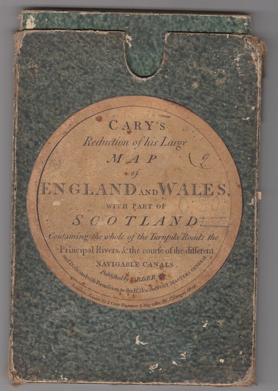
1824243011824 London: J. Cary(1830). Folding map. 24 sections laid on linen. Outline hand-colour borders to the county borders. Grubby linen backing with some browning but not generally affecting the map papers.With the original slip-case ,an attractive copy. Originally published in 1796 this reduced issue is pub. by Cary at 86 St James Street and corrected to the year 1830. Scale 15 miles:one inch. Image measures 29.75" x 24.75".. Printed Map.
1899vz275Imprimerie Lafolye Plaquette 1899 In-8 (15,1 x 22,6 cm), plaquette, 11 pages, extrait de la Revue Historique de l'Ouest ; réparation au ruban adhésif au dos, tampon au premier plat, deux petites déchirures sans manque sur le bord supérieur du volume, assez bon état général. Livraison a domicile (La Poste) ou en Mondial Relay sur simple demande.
1875265651875 NY: The Literary and art publishing company, 1875.cartonnage prune decoré - First Edition. 8vo, pp. 672. Bound in cloth stamped in gilt, some moderate foxing, a very good copy.
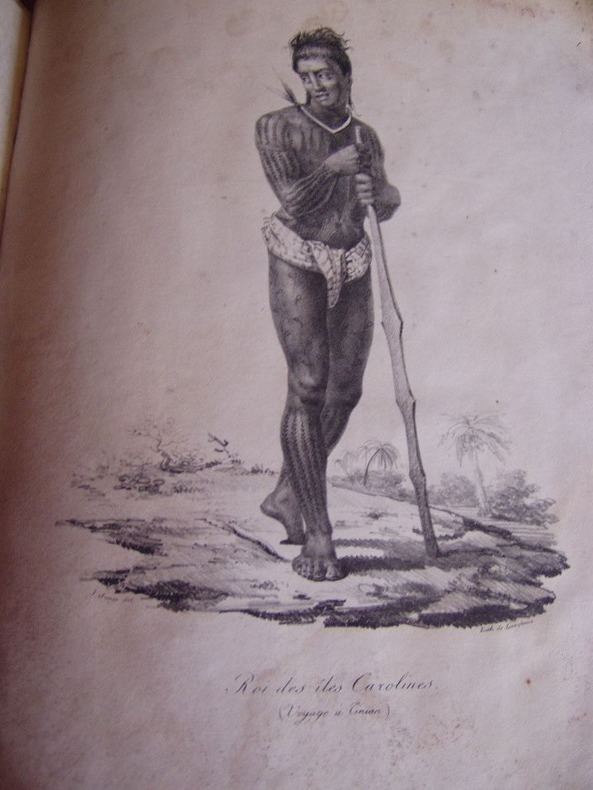
1822176291822 Paris, Béthune & Plon for Leblanc, (1822). atlas vol. in folio. Sans page de titre ni reliure,broche,mouillures en marge,carte abimée,25 lithographies en noir,dans l’etat
187094929London - Edinburgh - New York, T. Nelson and Sons, coll. « Nelson’s Pictorial Guide-Books for Tourists » 1870 In-16 à l’italienne 10,5 x 16,5 cm. Cartonnage éditeur percaline verte, dos muet, vignette en couleurs contrecollée sur le premier plat encadré d’un triple filet doré, 9 gravures en couleurs dont 2 en doubles pages, 3 vignettes en noir dont cul-de-lampe.
188653685London, Macmillan and Co., 1886. Bound in 2 orig. pictorial full cloth, gilt. Stamp on title-pages. XXVIII,676"XII,803 pp., 15 plates and numerous textillustrations in woodcut. 1 large folded map in colour. Internally clean and fine.