(Navigation) Wakely, AndrewBiblio.com
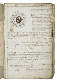
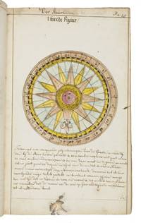
The Mariner's Compass Rectified: Containing Tables Shewing the True Hour of the Day . Carefully corrected and very much enlarged with many useful additions. By J. Atkinson
1747234865London: Printed for W. and J. Mount and T. Page 1747. Later approximately eleventh edition. Illustrated with woodcuts diagrams and tables. 272 pp. 1 vols. Small 8vo. Modern quarter blue morocco and cloth. Half-title and title leaves silked at upper margin early mild dampstaining to text; a good solid copy. Later approximately eleventh edition. Illustrated with woodcuts diagrams and tables. 272 pp. 1 vols. Small 8vo. First published in 1694 and innumerable times since throughout the 18th-century. Printed for W. and J. Mount, and T. Page unknown

James Cummins Bookseller · États-Unis750,00 $US≈ 634,57 €