DHEULLAND (Guillaume) & ANDROUET du CERCEAU (Jacques).Livre Rare Book
119 résultats
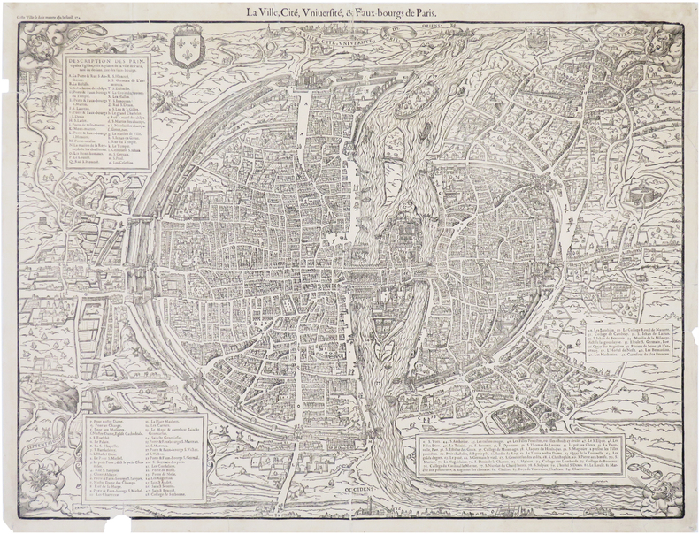
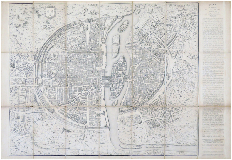
1552LBW-6930Paris, [1552-1756-milieu du XIXe]. En 21 sections montées sur toile et pliées, formant un plan de 694 x 991 mm ; étiquette au dos de l'éditeur Charles Simonneau.
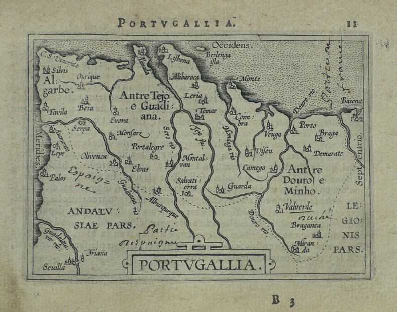
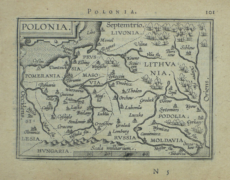
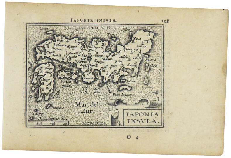
1598LBW-1428Anvers 1598 81 x 105 mm.
1561LBW-5048[Venise, 1561]. 184 x 245 mm.
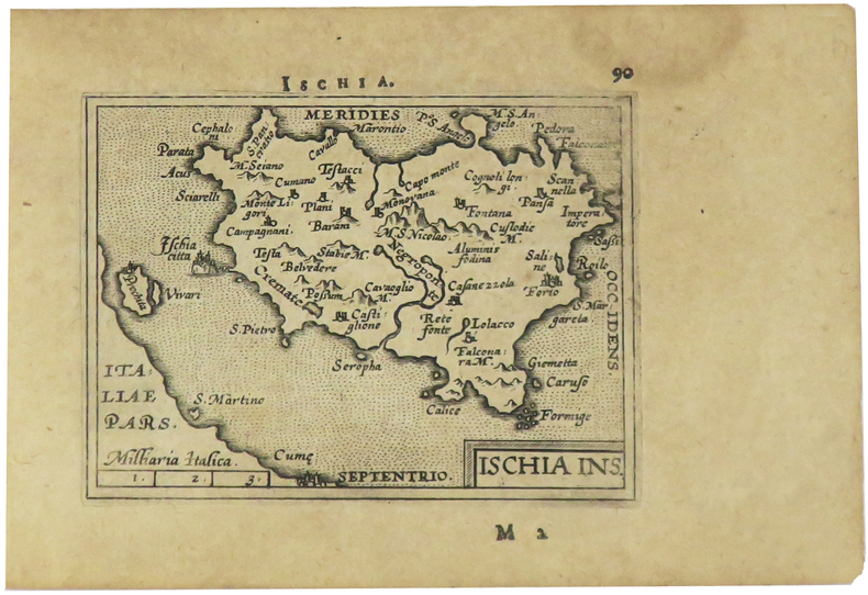
1598LBW-1425Anvers 1598 80 x 105 mm.
1598LBW-1391Anvers 1598 81 x 106 mm.
159525266(Duisburg, 1595). 35x44,5 cm. Engraved map of the Northern part of Scotland from 58-61',20''North, showing Orkney Island, hebrides and Skye. Fine orig. handcolouring.
1598LBW-1431[Anvers, 1598]. 80 x 106 mm.
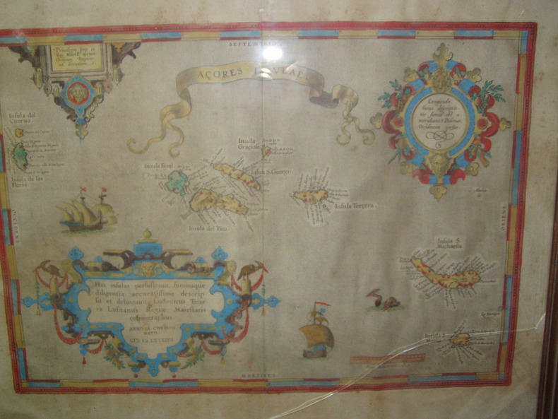
1584224251584 Orig. copper-engraving. Published by A. Ortelius after to L. Teixeira's map of the Açores. Dated 1584. Coloured. With title in decorative border, 3 ornamental cartouches, 2 ships, sea-monster and "Scala Leucarum". 32,5:46,5 cm (12 3/4 x 18 1/4 inch.) 2,5 x 46,5 cm Van der Krogt, Koeman's Atlantes Neerlandici, Vol. III B, 6350:31; Van den Broecke, Ortelius Atlas Maps, Nr. 24. - Stammt aus einer von fünf lateinischen Ausgaben, die in den Jahren 1595 - 1612 erschienen. Alle tragen das Datum 1584 in der großen Kartusche.A splendid sea chart of the Azores with three scrollwork cartouches; the ocean is decorated with sailing vessels. A fresh example of this scarce sea chart, based on Teixeira's single sheet map of Terceira from 1582, and a later manuscript atlas of the Azores islands. The Azores played a significant role in international sea trade as a victualling stop and shelter for ships sailing into the South Atlantic. In very good condition. The map was first issued in an edition of 100 examples in the Additamentum to the 1583 edition of Ortelius' Theatrum Orbis Terrarum, which is widely referred to as the first modern atlas and a landmark in the history of Western map making. Beginning in 1570, Abraham Ortelius and his successors published (and continuously added to) this monumental work for a period of over 40 years (not including the very rare edition of 1641), with text on the verso in Latin, Italian, German, Dutch, French, Spanish and English.References: Van Den Broecke 24. Meurs p 253-254.
1598LBW-1384Anvers 1598 81 x 106 mm.
1598LBW-1390Anvers 1598 82 x 108 mm.
157389761573 PLAN ANCIEN en couleurs, colorée d'époque à la main, en marron, bleu, vert et rouge. Format total : 40 centimètres de haut par 31 centimètres de large, réalisée par Braun, Georg et Hogenberg, Frans , tiré de l'ATLAS : "Civitates orbis terrarum liber primus", 1573 Coloniae Agrippinae : [s.n.] Editeur,
1590LBW-65151590?. 210 x 276 mm.
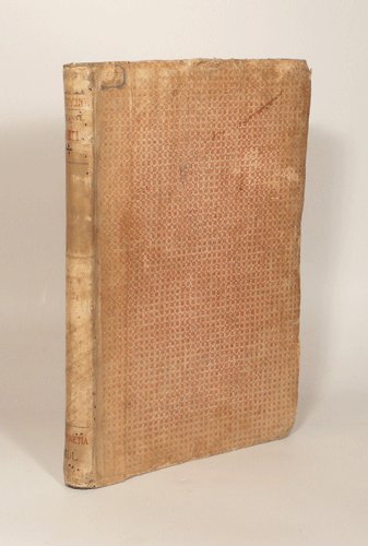
15500033071550 Venise, Francesco Marcolini, juillet 1550. Petit in-folio (225 X 322) demi-vélin ivoire, plats de papier dominoté, auteur, titre, lieu d'édition et date calligraphiés au dos en rouge et noir (reliure XVIIIe) ; A-Z4, Aa-Cc4 : 104 feuillets. A partir des figures des philosophes (page 64) il est donné un même numéro pour deux pages. Nombreuses restaurations aux premiers feuillets, l'encadrement architectural du portrait de l'auteur est masqué par un feuillet de doublure, marges du feuillet 43/44 rognées.
1575LBW-8239[Paris, Nicolas Chesneau, 1575]. 422 x 551 mm.
159047728Venetia [Venice], apresso gli heredi di S. Gagliani, 1590. [Colophon: In Vintia, appresso Giorgio Angelieri, a instantia de gli heredi di Simon Gagliani de Karera, 1590]. Small folio. 18th century (ab. 1780-90) half vellum with gilt leather title label to spine. Corners a bit bumped and title label a bit worn, otherwise nice and tight. A very nice copy, on thick, crisp paper. A few quires browned and brownspotted, and some occasional lighter browning. Four leaves with a marginal worm-tract, far from affecting text. Beautiful engraved title-page, consisting of a wide architectural border illustrated with large figures, putti, globes, and various symbols. Beautiful large woodcut initials and head- and tail-pieces. 47 half-page engraved maps in the text (by Porro, of islands and continents), excellent, crisp impressions. Large woodcut device to colophon. (12) ff., 201, (1) pp.
1598LBW-1424[Anvers, 1598]. 82 x 102 mm.
159547336(Amsterdam, 1595-1623). 29x40 cm. Kobberstukket kort over Nørrejylland, egnene omkring Limfjorden, vendsyssel i nord og til Horsens i syd samt Samsø. Samtidig håndkolorering. Bagsiden med latinsk tekst. Barokkartouche.
1598LBW-1405[Anvers, 1598]. 82 x 106 mm.
1598LBW-1404Anvers 1598 82 x 107 mm.
158430762(Antwerpen, between 1584 a. 1612). 35x51 cm. Engraved map of France in fine contemporary handcolouring. Framed so that verso is shown. Latin text on verso ""Gallia"" with the initial Q handcoloured.
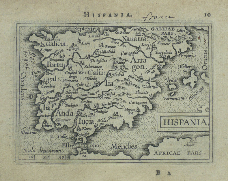
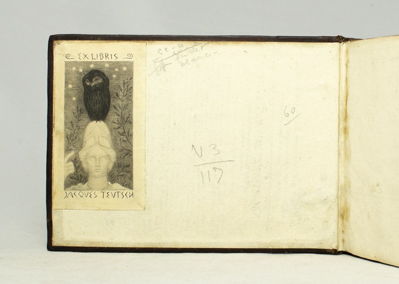
159516728Antverpiæ, Philippo Gallæo execudebat Arnoldus Coninx, 1595. In-8 oblong de [8]-109-[2] feuillets, plein maroquin brun, dos à nerfs orné de double D entrelacés, plats décorés d'un cartouche ovale doré, orné d'une composition allégorique, double filet doré encadrant les plats, tranches dorées. Reliure début XVIIème siècle. Ex-libris Jacques Teutsch.
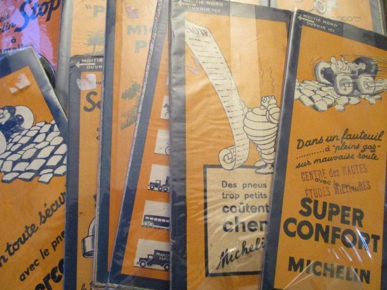
151562981515 1 - Anvers-Rotterdam51 - Boulogne-Lille53 - Arras-Mézières55 - Caen-Paris56 - Paris-Reims62 - Chaumont-Strasbourg64 - Anger-Orléans65 - Auxerre-Dijon66 - Dijon-Mulhouse70 - Beaune-évian74 - Lyon-Genève75 - Bordeaux-Tulle84 - Marseille-Menton89 - Paris sud93 - Lyon-Avignon
158054214(Antwerpen ca. 1580). 32 x 41 cm. Kobberstukket Danmarkskort i original håndkolorereing. Med Skåne, Halland og Blekinge samt den nordlige del af Tyskland.Foldningen fint forstærket på bagsiden med japanpapir.
1574LBW-589Anvers 1574-1575 363 x 434 mm.
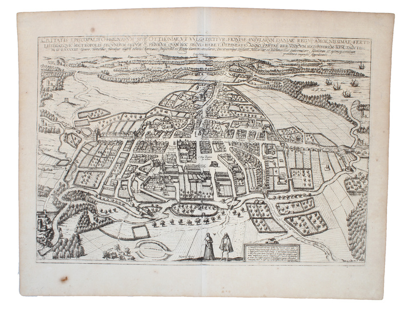
159319353Kobberstukket prospekt over Odense visende byen i fugleperspektiv. 32,5 x 47,5 cm. Nogle få brunpletter, mest i de brede marginer, ellers fin stand.