6 résultats
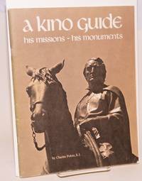
197660413Tucson: Southwestern Mission Research Center 1976. 50p. 8.5x11 inches illustrations photos maps reading guide very good later revised printing booklet in stapled pictorial wraps. Southwestern Mission Research Center unknown books
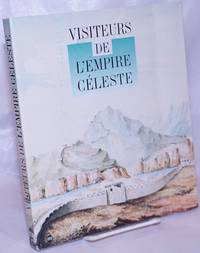
1994264321Paris: the museum 1994. Paperback. 211p. vivid color reproductions throughout supplemented with modern diagrammatic maps showing different expeditions softbound in 10x8 inch frenchfold wraps. Expect a severe vertical crease to front cover with creasing of several adjacent leaves including titlepage and instances of pencilled comment in three locations: half-title and pages 146 176. A good reading copy the volume remains entirely useful. the museum paperback books
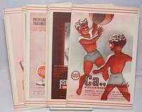
1940250450no city Spain: Wassermann 1940. Nineteen quarto leaves of alkaline paperstock each folded vertically in half to make nineteen separate advertising brochures of 8.5x5.5 inches all four faces of each brochure printed in colors with a come-on cover; pages within pp.2 & 3 print a detailed doublespread color map back cover mostly text with spot-color touches. Partial set 19 of an original total of 42. Each map features a different region or province in Spain including the Islands and North Africa while exterior covers boast a different medicine medications for the blood or bone for young and old: Take Aspasmol a sedative for spaamodic attacks &c &c. Please note that nos.13 and 37 use the same cover image but deal different meds and differing parts of Spain. All in nice condition clean and sound. Wassermann unknown books
192913924New York New York: U.S. Geographical Survey 1929. Department of the Interior U.S. Geological Survey Hempstead Quadrangle; 1929 version of a map edition of 1903 depicting a partially revised shoreline of 1923. Showing contours topography waterways train lines roads and locations of homes; printed in three colors. The back of the map with information on map standard symbols. 20" x 16 1/2" approximate size; some edge tips wear closed edge tear at bottom edge little wrinkling; & back with a darkened panel. In good condition decorative and interesting perspective on Long Island real estate development patterns in the area. PLEASE NOTE: Shipped rolled for safety. . Map. Not Bound. Good. U.S. Geographical Survey Paperback books
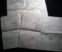
196526508Southold Long Island N.Y.: No Publisher Noted 1965. Three folded sectional maps of the Town of Southold Long Island NY. Approx. 14 1/2" x 18" size; printed black on cream paper stock. Section I depicting western portion Laurel Mattituck Cutchogue Nassau Point Robin's Island; Section II Peconic Southold village Bay View Hashamomack Greenport; Section III East Marion Oysterponds - Orient & a Fisher's Island map inset. Each map with its own numbered key-list of locations and short historical notes on them. Some edge tips-wear and soiling little spotting; old fold lines; in good condition. First Edition. Not Bound. Good. No Publisher Noted paperback books
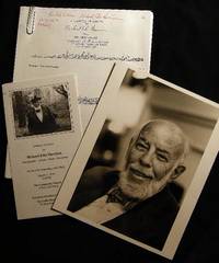
198424561New York New York: Photo By Bill Ray 1984. Black and white photograph 8" x 10" on heavy photographic paper; on back is handwritten "For my old and valued friend Bob Greene" and with Harrison's name and the date of April 1984 at the lower border; with the studio stamp of Photo by Bill Ray 350 Central Park West New York. with A group of copy-pages of drawings from the New Yorker by Harrison and presented "for Bob Greene Richard Edes Harrison on his 66th Birthday" with the black and white illustrated memorial service pamphlet for R. E. Harrison 1901 - 1994 Cartographer-Artisan-Birder-Raconteur on the 93rd Anniversary of his Birth March 11 1994. in good condition. Robert S. Greene 1922 - 2013 American writer jazz musician documentarian and historian friend of the artist who innovated U.S. cartography in the 20th century. see Timothy Barney "Richard Edes Harrision and the Cartographic Perspective of Modern Internationalism" U. of Richmond 2012 for his more on his contributions to cartography. Photograph. Soft Cover. Very Good. Photo By Bill Ray Paperback books