FER, Nicolas deBiblio.com
98 résultats
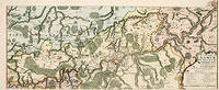
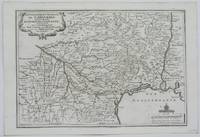
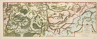
170552950Paris. 1705. An attractive map of part of Belgium showing forests and river valleys. 'de Fer's maps are popular despite or maybe because of their rather flamboyant decoration' Moreland & Bannister p130. Title at lower right. Atlas Curieux ou Le Monde. Copper engraving. Fine condition Later colouring. Size: 59 x 22 cm. Moreland and Bannister unknown
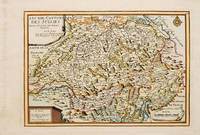
171753085Atlas Curieux ou le Monde. Paris 1717. Map of Switzerland with title at top left dedication and scales in lower corners Copper engraving. Fine condition Later colour. Size: 348 x 240 mm. 13½ x 9½ iinches unknown
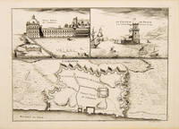
171053827Atlas Curieux ou le Monde. c.1710. The lower half of this attractive engraving shows a map of the fortifications of Lisbon. The upper half has two views- To the left the 'Palais Royal de Lisbonne' and to the right 'Le Chateau de Belem'. Copper engraving. Fine condition. Uncoloured. Size: 330 x 240 mm. 13 x 9½ inches. unknown
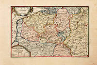
171778864Paris: 1717. Map of the Catholic Low Countries or current day Belgium. Published in "Atlas Curieux ou le Monde". Copper engraving. Hand coloured. Sheet size: 274 x 405 mm Plate size: 216 x 326 mm Very good condition. unknown
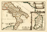
170515703Paris: N. de Fer 1705. Other. In excellent condition. 223 by 335mm 8 by 13 inches. 223 by 335mm 8 by 13 inches. Original antique hand-colored copper engraving published 1705. Depicting Kingdom of Naples this map is a fine example of 0s European cartography. Image: 223 by 335mm 8 by 13 inches. An attractive and historically significant 18th-century map for the discerning collector. Nicolas de Fer 16461720 was a prominent French cartographer engraver and publisher based in Paris. After inheriting his father's mapmaking business de Fer built it into one of the most productive cartographic firms in France eventually becoming Geographer to King Louis XIV of France and King Philip V of Spain. His output was prolificmore than 600 sheet maps town plans and atlasescovering Europe the Americas and beyond. De Fer's maps are known for their decorative cartouches attractive hand coloring and commercial appeal though they were sometimes criticized for prioritizing artistry over accuracy. His maps are particularly associated with the campaigns of the War of the Spanish Succession and are sought by collectors for their decorative quality.This decorative map show the Southern part of Italy with Sicily. Inside the map are many place names rivers mountains etc. engraved. In the upper right corner we see the title cartouche. In the lower right corner we see an inset map which shows the island Sardinia. At the bottom are two mileage scales.A fine example from Introduction à la Géographie Paris sought after by collectors of antique maps of Italy antique maps of Kingdom of Naples and antique hand-colored copper engravings for sale. In very good condition. Light age-toning to the sheet as expected for a 18th-century map. N. de Fer unknown
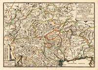
170515715Paris: N. de Fer 1705. Other. Full margins as published. 252 by 352mm 10 by 13 inches. 252 by 352mm 10 by 13 inches. Original antique hand-colored copper engraving published 1705. Depicting Tyrol & Trentino this map is a fine example of 0s European cartography. Image: 252 by 352mm 10 by 13 inches. An attractive and historically significant 18th-century map for the discerning collector. Nicolas de Fer 16461720 was a prominent French cartographer engraver and publisher based in Paris. After inheriting his father's mapmaking business de Fer built it into one of the most productive cartographic firms in France eventually becoming Geographer to King Louis XIV of France and King Philip V of Spain. His output was prolificmore than 600 sheet maps town plans and atlasescovering Europe the Americas and beyond. De Fer's maps are known for their decorative cartouches attractive hand coloring and commercial appeal though they were sometimes criticized for prioritizing artistry over accuracy. His maps are particularly associated with the campaigns of the War of the Spanish Succession and are sought by collectors for their decorative quality.Ornated in the lower left corner with a small milage scale.A fine example from Introduction à la Géographie Paris sought after by collectors of antique maps of Italy antique maps of Tyrol and antique hand-colored copper engravings for sale. In very good condition. Light age-toning to the sheet as expected for a 18th-century map. N. de Fer unknown
171752951Paris. 1717. An attractive map of part of Belgium showing forests and river valleys. 'de Fer's maps are popular despite or maybe because of their rather flamboyant decoration' Moreland & Bannister p130. Title at lower right. Atlas Curieux ou Le Monde. Copper engraving. Fine condition Original colour. Size: 59 x 23 cm. unknown
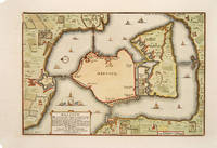
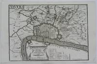
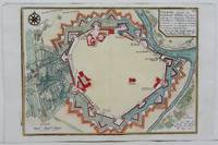
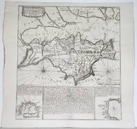
1705527391705. A plan of the town fortifications and surrounding area Copper engraving. Fine condition Later colouring. Size: 34 x 23 cm. 13½ x 9 inches unknown
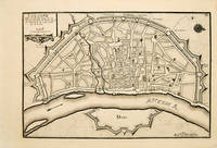
171753083Atlas Curieux ou le Monde. Paris 1717. Plan of Cologne with north to the right showing fortifications and old town. Title at top left. Includes accompanying text Copper engraving. Excellent condition good margins. Uncoloured. Size: 34.8 x 24 cm. 13½ x 9½ inches unknown
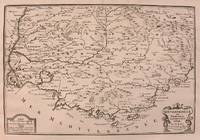
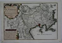
1705M5133Paris 1705. Excellent. Size : 236x345 mm 9.25x13.625 Inches Coloring: Black & White Category: Maps Europe France unknown
1705M5141Paris 1705. Excellent. Size : 245x345 mm 9.625x13.625 Inches Coloring: Black & White Category: ; Maps Europe Benelux unknown
1706M6385Paris 1706. Very Good margins extended. Size : 115x175 mm 4.5x6.875 Inches Coloring: Hand Colored Category: ; Maps Europe Greece Macedonia unknown
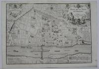
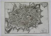
1705M5143Paris 1705. Excellent. Size : 240x340 mm 9.5x13.375 Inches Coloring: Black & White Category: Maps City Maps; Maps Europe France unknown
1716M5138Paris 1716. Excellent. Size : 235x325 mm 9.25x12.75 Inches Coloring: Black & White Category: ; Maps Europe Germany unknown
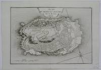
1705M5145Paris 1705. Excellent. Size : 230x330 mm 9x13 Inches Coloring: Black & White Category: ; Maps Europe France unknown
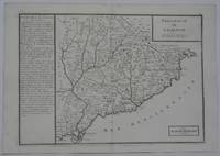
1702M5130Paris 1702. Excellent. Size : 250x355 mm 9.875x14 Inches Coloring: Black & White Category: ; Maps Europe Spain unknown
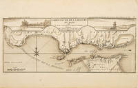
171053828Atlas Curieux ou le Monde. c.1710. The lower half of this attractive engraving shows the mouth of the Tagus from the sea to Lisbon showing the coastline settlement and fortification in detail. Title at top centre flanked by two views- To the left the 'Palais Royal de Lisbonne' and to the right 'Le Chateau de Belem'. Copper engraving. Fine condition. Uncoloured. Size: 405 x 175 mm. 16 x 7 inches. unknown
1705M4699Paris 1705. Excellent. Size : 245x340 mm 9.625x13.375 Inches Coloring: Hand Colored Category: Maps City Maps; Maps Europe Austria unknown
1705M5140Paris 1705. Excellent. Size : 230x345 mm 9x13.625 Inches Coloring: Black & White Category: ; Maps Europe France unknown
1715M4751Paris 1715. Very Good slight wear at the center of the fold. Size : 350x320 mm 13.75x12.625 Inches Coloring: Black & White Category: ; Maps Europe United Kingdom unknown
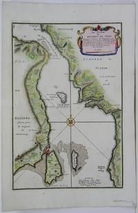
1705M5485Paris 1705. Very Good. Notes: Map of strait between Sweden and Denmark. Size : 335x225 mm 13.125x8.875 Inches Coloring: Hand Colored Category: Maps Europe Scandinavia Countries; unknown
1708M5770Paris 1708. Very Good. Size : 240x345 mm 9.5x13.625 Inches Coloring: Hand Colored Category: ; Maps Europe France unknown
1705M5142Paris 1705. Excellent. Size : 237x346 mm 9.375x13.625 Inches Coloring: Black & White Category: Maps City Maps; Maps Europe France unknown
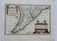
1704M5174Paris 1704. Excellent. Notes: French Map of Chile by renowned French cartographer. Size : 235x340 mm 9.25x13.375 Inches Coloring: Original Outline Coloring Category: Maps South America Countries; unknown
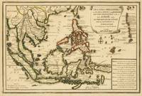
1702143641Paris: Nicolas de Fer 1702. Very Good. Paris Nicolas de Fer circa 1702. A hand-coloured engraved map printed surface 225 × 339 mm sheet size 250 × 361 mm. Engraved by Charles Inselin. Light tanning; a few unobtrusive spots and marks; crease to the border in the top right-hand corner with minimal loss to the marginal corner-tip; in very good condition. A map of the Philippines the Indonesian archipelago mainland Southeast Asia as far north as Taiwan and the Mariana Islands from de Fer's 'Atlas Curieux' 1700-1705. Nicolas de Fer unknown