Renard, LouisBiblio.com
4 résultats
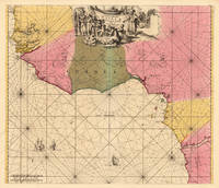
170018827Amsterdam: Louis Renard 1700. Other. In excellent condition. 490 by 569mm 19¼ by 22½ inches. Copper engraving hand colored in outline and wash when published. A fine and large and decorative sea chart depicting West Africa with its coastline from Gambia in the north towards Angola and the Congo in the southern part. The antique sea chart is equipped with two compass roses and three sailing ships for decoration. Along the coastline with engraved bays place names and small islands. This rare map was published around 1700 in Louis Renard's famous sea-atlas. Louis Renard received the copperplates of Frederic De Wit´s maritime atlas. Louis Renard did only minor modifications to the plate of map he addedapud L. RenardÂ’ below the engraved titles. Louis Renard unknown
167722982Amsterdam Justus Dankerts 1677-1689 -in-8 plein-VELIN deux tomes reliés en un volume, reliure janséniste d'époque en plein vélin ivoire parcheminé (jansenist's binding full vellum in-8) in-octavo carré (20,2 x 16,3 cm), dos long (spine without raised band), Auteur et Titre manuscrit à l'encre brune en haut du dos (handwritten title on the spine), tranches lisses (smooth edges), 1er Tome : GRONDIGE BEWYS-REDENEN DER BOUW-KUNST: texte en néerlandais, orné d'un titre-frontispice gravé à l'eau-forte en noir par L. Renard et de 31 planches hors-texte gravés à l'eau-forte en noir, 68 pages, 1689 Amsterdam Justus Dankerts Editeur, + DE GRONT-REGULEN DER BOUW-KONST, ofte de uytnementheyt van de vijf ordens der ARCHITECTURA : texte en néerlandais, orné de 42 planches hors-texte gravés à l'eau-forte en noir par L. RENARD, (trace claire d'humidité en haut des 16 pages de texte), 16 pages, 1677, Amsterdam Justus Dankerts Editeur,
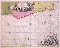
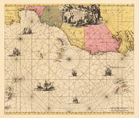
170014955Amsterdam: Louis Renard 1700. Other. 430 by 535mm 17 by 21 inches. 430 by 535mm 17 by 21 inches. Copper-engraving hand colored in outline and wash when published. Large and decorative sea chart showing West Africa with the Canary and Cap Verden Island in the Atlantic Ocean. Published around 1700 in Louis Renards famous sea-atlas. An execellent copy of this rare map. Louis Renard unknown
170019204Amsterdam: Louis Renard. 1700. Other. In excellent condition. 484 by 567mm 19 by 22¼ inches. 484 by 567mm 19 by 22¼ inches. Copper-engraving hand colored in outline and wash when published. Large and decorative sea chart showing West Africa with the Canary and Cap Verden Islands in the Atlantic Ocean. The map is equipped with two compass roses and several sailing boats. Published around 1700 in Louis RenardÂ’s famous sea-atlas. Louis Renard received the copperplates of Frederic De Witt´s sea-atlas and did only minor modifications in the engraved titles. The image of the map is orientated with the North to the East. Louis Renard. unknown