SANSON (Guillaume) & SANSON d'ABBEVILLE (Nicolas).Livre Rare Book
272 résultats
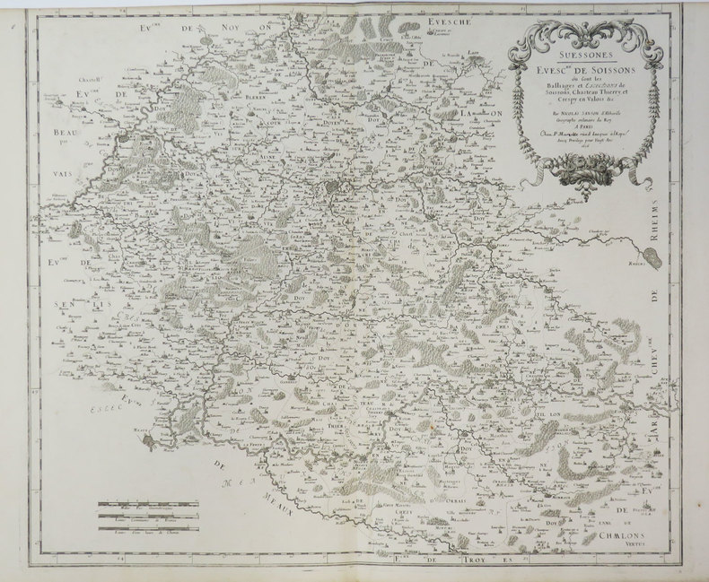
1670LBW-7226Paris, P. Mariette, 1670. 367 x 423 mm.
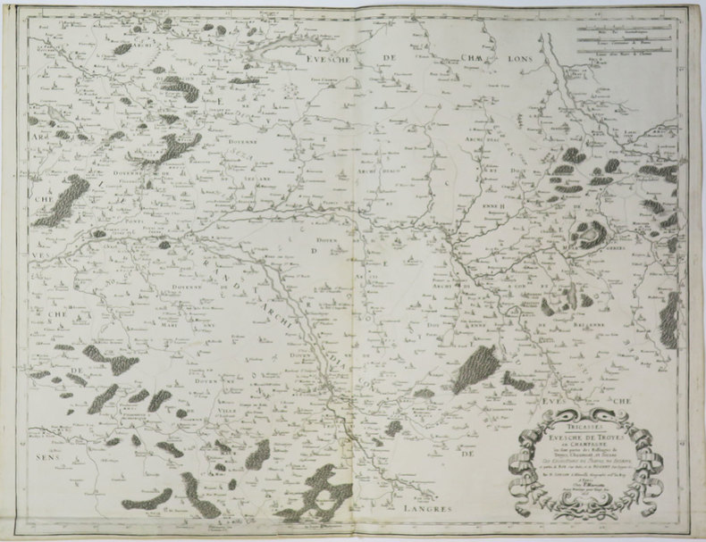
1659LBW-3666Paris, chez l'auteur, 1659. 412 x 531 mm.
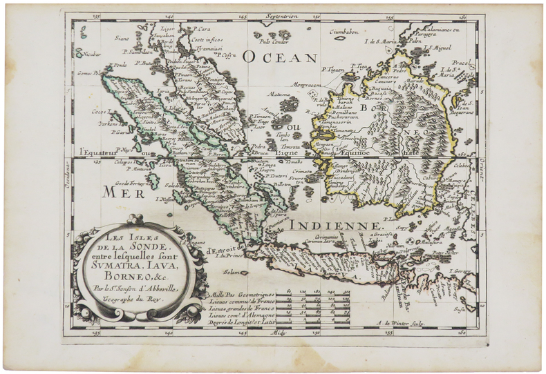
1700LBW-5388[1700]. 204 x 301 mm.
1652LBW-2301Paris, Pierre Mariette, 1652. 532 x 410 mm.
1665LBW-71881665. 427 x 511 mm.
1667LBW-3640Paris, P. Mariette, 1667. 352 x 392 mm.
1653LBW-3420Paris, Pierre Mariette, 1653. 420 x 525 mm.
1652LBW0418a1652 192 x 242 mm.
1651LBW-3628Paris, Pierre Mariette, 1651. 386 x 521 mm.
1658LBW-51971652 [1658]. 313 x 457 mm.
1656LBW-6504Paris, Pierre Mariette, 1656. 402 x 545 mm.
1659LBW-3663Paris, chez l'auteur, 1659. 362 x 530 mm.
1632LBW-1373[Paris, Melchior Tavernier, 1632-1637]. 412 x 532 mm.
1670LBW-606Paris, Pierre Mariette, [1670]. 308 x 424 mm.
1676LBW-7221Paris, Pierre Mariette, 1676. 327 x 475 mm.
1700LBW-5427[1700]. 202 x 266 mm.
1656LBW-3411Paris, P. Mariette, 1656. 415 x 485 mm.
1660LBW-5437[circa 1660]. 195 x 247 mm.
1656LBW-3638Paris, P. Mariette, 1656. 430 x 544 mm.
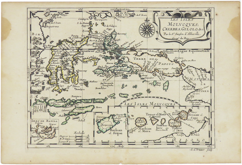
1680LBW-5478[Paris, circa 1680]. 187 x 245 mm.
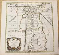
1696M10206Amsterdam: Covens & Mortier c.1696. Very Good. Size : 485x450 mm 19.09x17.72 Inches Coloring: Hand Colored Category: Maps Africa North Egypt; Covens & Mortier unknown
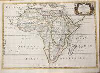
1650M6678Paris: Pierre Mariette c. 1650. Very Good;. Notes: Title cartouche bordered by two outward-facing birds of prey.<br><br>Norwich writes: "This is an early Sanson map. An odd feature is the name Barditus Mons given to a long chain of mountains running continuously from somewhere in Angolato Algoa Bay. No place names appear even on the coast of the southern part of the continent which is labelled 'Agi Symba' a name usually referring to the northern African region and inhabitants are 'Anthropophagi Aethiopes' or cannibals." Size : 396x553 mm 15.59x21.77 Inches Coloring: Hand Colored Reference: Norwich's Map 35. Category: Maps Africa Continent; Pierre Mariette unknown
170054035Amsterdam: 1700. Map of Germany divided into regions which at the time extended over much of the Low Countries. Maps by Sanson in original colour are rare. Nicolas Sanson was founder of the French school of mapmakers at a time when the leadership in European cartography passed from the Low Countries to France. This map was published in Brion's treatise on globes. Nicolas Brion was a famous French mathematical and scientific instrument maker. L'Usage des Globes. Copper engraving. Fine condition. Original colour. Size: 23.5 x 18.5 cm. unknown
166033638ABA Paris chez P. Mariette 1660. Blattgrösse: 44x58 cm. Grenzkolorierte Karte (36,7x55 cm) von Nicolas Sanson, gestochen von Somer.