4 059 résultats
Paperback. Covers are very lightly worn in places, with a slightly marked rear. One or two imperfections on page block. Text is clear, and pages are clean and sound. TS Used
Paperback. Pages are clean and contents are clear throughout. Binding is sound. HJW Used
Paperback in very good condition. Minor shelf and edgewear, including a crease to front lower leading corner. Minor score to page block foot. No other notable flaws, contents clean and unmarked, binding sound and spine tight. AD Used
Paperback. Superficial marks and light scores on covers. Leading corners, edges and spine ends are very lightly worn. Page block foot is lightly marked. Pages are clean and contents are clear throughout. Binding is sound. HJW Used
Paperback. Superficial marks and light scores on covers. Leading corners, edges and spine ends are very lightly worn. Page block is lightly marked. Pages are clean and contents are clear throughout. Binding is sound. HJW Used
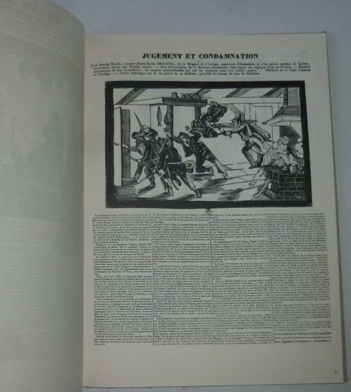
190791 volume in folio relié pleine toile illustrée, vignette contrecollée sur le plat supérieur. 14 f. + 80 p. petite rayure sur la vignette sinon très bon état. Rousseurs en garde.
Paperback in very good condition. Light shelf and edgewear to covers, page edges lightly tanned. No other faults. AD Used
"Contains information published for the first time, of navigable distances of lakes and rivers in north-western Ontario, Manitoba, Saskatchewan, Alberta and Mackenzie Territory; the draught and number of steamers plying on thoses waters. Similar information is given of the inland waters of British Columbia for the first time. In the description of the Transcontinental and Intercolonial railways much new information appears... Original photographs of various localities were procured from the headquarters of the railways and steamboat lines. The book is copiously illustrated." - A. Johnston, Deputy Minister of Marine and Fisheries. "Intended as a sketch of Canada, for the use of representatives, delegates and members of the XIIth Congress of the Permanent International Association of Navigation Congresses, to be held at Philadelphia. Contains information relating to Canada, important lines of communication on this continent, and ocean going steamers, that will be valuable to travellers engaged in business, tourists, sportsmen, yachtsmen, canoeists, surf bathers, and others who may find the means of satisfying any reasonable desire connected with travel, pastime or recreation." - from Introduction. Prior owner's name upon first blank leaf else unmarked. Average wear with the following exception: Affixed to the last leaf is a 35" x 21.5" fold-out map of the Dominion of Canada which shows national rail lines, resource locations, fog signals, lighthouses, wireless stations, and more. Through use, this leaf and the two which preceed it are loose but present. Two-inch opening at base of back cover and backstrip. Also included is a 21" x 17.5" fold-out map entitled "Chart of Radio-Telegraph Stations on the East Coast". Profusely illustrated with often enthralling black and white photography. Attractive gilt lettering upon embossed chocolate brown cover. A magnificent survey of Canada's natural resources and transportation infrastructure in the Pre- World War One era. Book
Paperback. Text is in Italian. A few light scores on front cover. Minor creases on spine. A few light marks on page block. Binding is intact, contents are clean and clear. AM Used
Paperback. Text is in Italian. Front cover and lower leading corners are creased. Minor creases on spine. A few light marks on page block. Binding is intact, contents are clean and clear. AM Used
Paperback. Text is in Italian. Minor creases on spine. A few light marks on page block. Binding is intact, contents are clean and clear. AM Used
Paperback. Text is in Italian. A few light marks on page block. Binding is intact, contents are clean and clear. AM Used
Paperback. Text is in Italian. Spine head is very lightly worn. A few light marks on page block. Binding is intact, contents are clean and clear. AM Used
Paperback. Published in 2002. Spine ends and leading corners are very slightly worn. Binding is intact, contents are clean and clear. AM Used
Paperback. Binding is intact, contents are clean and clear. AM Used
Paperback. Spine ends are very slightly worn. Binding is intact, contents are clean and clear. AM Used
Paperback. Spine foot is a little bumped and nicked. Binding is intact, contents are clean and clear. AM Used
12188Hanoi, Service Géographique de l'Indochine, Décembre 1925 1 carte dépliante de format 55*72 cm, sur papier fort, très bon état, à l'échelle 1/500.000.