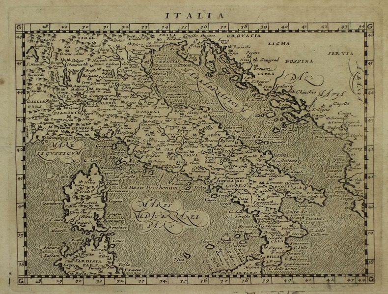
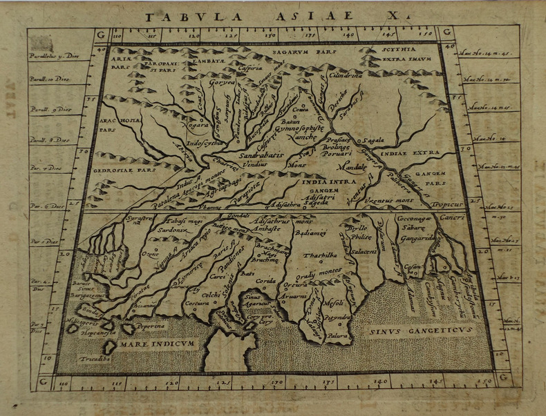
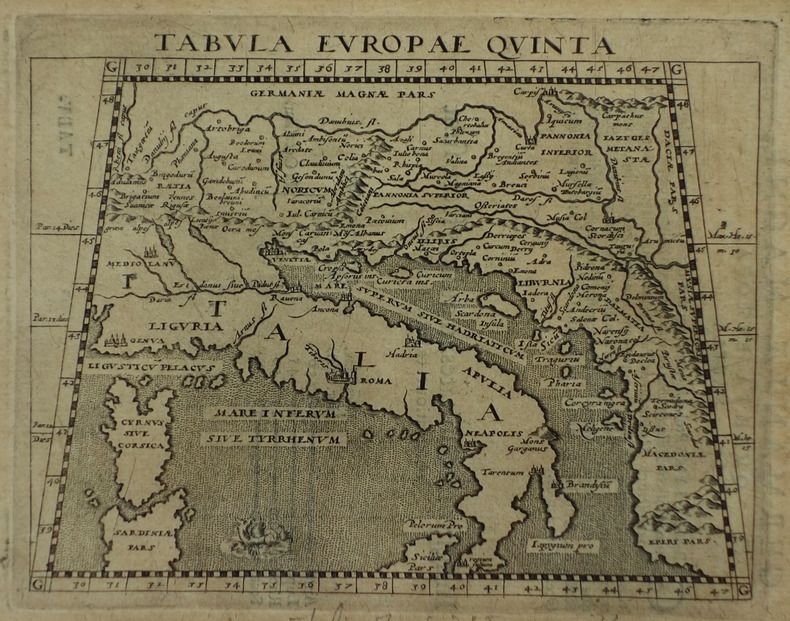
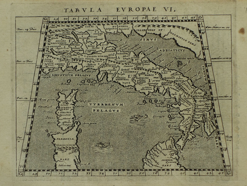
MAGINI (Giovanni Antonio) & PTOLEMEE (Claude).Livre Rare Book
17 résultats
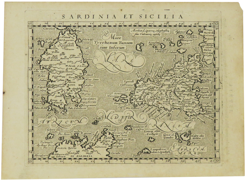
1617LBW-1926[Arnhem, Joannes Jansson, 1617]. 130 x 168 mm.
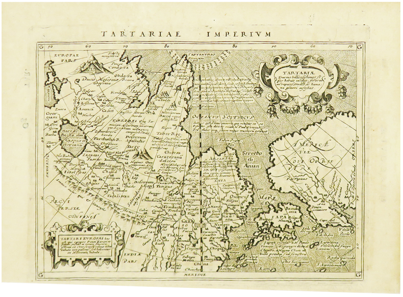
1617LBW-1923[Arnhem, Joannes Jansson, 1617]. 128 x 170 mm.
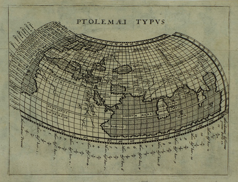
1617LBW-1938[Arnhem, Joannes Jansson, 1617]. 128 x 168 mm.
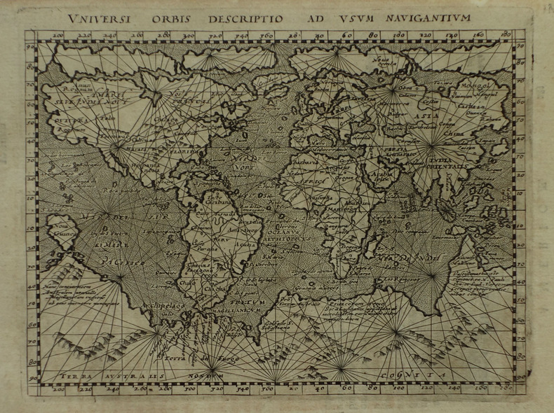
1617LBW-1918[Arnhem, Joannes Jansson, 1617]. 130 x 168 mm.
1617LBW-1934[Arnhem, Joannes Jansson, 1617]. 130 x 169 mm.
1617LBW-1933[Arnhem, Joannes Jansson, 1617]. 129 x 170 mm.
1617LBW-1932[Arnhem, Joannes Jansson, 1617]. 129 x 167 mm.
1617LBW-1931[Arnhem, Joannes Jansson, 1617]. 127 x 163 mm.
1617LBW-1921[Arnhem, Joannes Jansson, 1617]. 130 x 166 mm.
1617LBW-1935[Arnhem, Joannes Jansson, 1617]. 130 x 169 mm.
1617LBW-1964[Arnhem, Joannes Jansson, 1617]. 129 x 170 mm.
1617LBW-1937[Arnhem, Joannes Jansson, 1617]. 132 x 172 mm.
1617LBW-1922[Arnhem, Joannes Jansson, 1617]. 131 x 172 mm.
167514546Paris, Guillaume Desprez, 1675 ; in-16 ; plein veau havane granité, dos à nerfs décoré et doré, titre doré, roulette sur les coupes (reliure de l'époque) ; (36) (titre, Epistre, Préface et Table), 457 pp., (1) p. de Privilège, 59 figures et schémas dont 13 hors-texte.
1617118060lyon Antoine Pillehotte 1617 in-8 parchemin de réemploi Lugduni (Lyon), Antonii (Antoine) Pillehotte, 1617, 1 volume in-8 de 100x165 mm environ, 192 pages, complet des deux tableaux et, fait rare, contient la planche in-fine intacte pour constituer les volvelles. Reliure, par laçage, en parchemin de réemploi, dos muet, gardes blanches. Quelques taches sur le parchemin et traces sur les tranches, une des lanières de laçage est rompue (mors interne fendu), ex libris manusrit partiellement raturé sur garde volante en fin de volume, intérieur frais, bon état général, bel exemplaire.
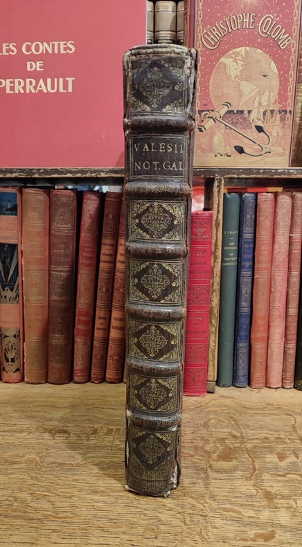
16753455Fredericum Leonard, Typographum Regis, 1675. In-folio (37,5 x 25,5 cm), 632 pp., 23 ff. d'index et errata (texte en Latin), reliure d'époque veau brun, dos à nerfs orné (quelques défauts d'usage mais très bon état intérieur, sans rousseurs). Edition originale. Cet ouvrage rare est l'une des meilleures sources pour l'histoire de l'ancienne Gaule, rédigé sous forme de dictionnaire, il n'a pas même été remplacé par le célèbre d'Anville.
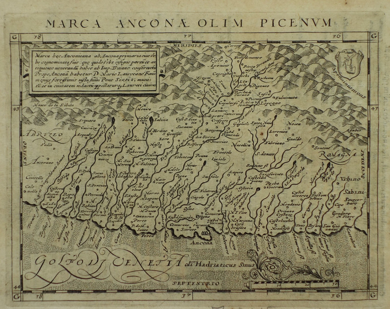
1621B6798Padova: Paolo & Francesco Galignani. 1621. . Some toning interior otherwise clean and crisp. Edition: Second Italian edition. Binding: Recent full calf boards. Matching upper and lower with double blind panels gilt floral devices at corners of inner panel. Spine with 4 raised bands abbreviated title in gilt on maroon label in 2 remaining compartments with gilt devices and blind rules. Notes: Translated from Latin into Italian by Leonardo Cernoti Vinitiano.<br>Text in Italian. <br>A fine example of this monumental atlas and treatise on cartography considered to be the most influential cartographic and geographical account of the ancient world originally written by Ptolemy in Greek around 150 AD. <br><br>Claudius Ptolemy c.100 – c.170 AD was a mathematician astronomer astrologer and geographer living in the city of Alexandria then the Roman province of Egypt under Roman rule who wrote a number of scientific treatises that greatly influenced Byzantine Islamic and Western European science. His Geografia written around 150 AD is a thorough discussion on maps and the geographic knowledge of the Greco-Roman world and also serves as a handbook on how to draw maps using geographic coordinates for parts of the Roman world known at the time. Geografia draws from an earlier work by Marinus of Tyre now lost to us as well as various Roman and Persian gazetteers.<br>Geografia is divided into 8 books: book I is a treatise on cartography describing the methods used to assemble and arrange Ptolemy's data; from Book II through the beginning of Book VII a gazetteer provides longitude and latitude values for the world known to the ancient Romans; the rest of book VII provides details on three projections to be used for the construction of a map of the world varying in complexity and fidelity; book VIII constitutes an atlas of regional maps. The maps include a recapitulation of some of the values given earlier in the work which were intended to be used as captions to clarify the map's contents and maintain their accuracy during copying.<br>Geografia was translated into Arabic in the 9th century and Latin around 1406 and was a highly influential resource on the cartographic traditions of the medieval Caliphate and Renaissance Europe.<br><br> Size: Small Folio 301x 206 mm Illustration: Complete with 64 engraved maps 27 Ptolemaic 37 modern including the rare double-page world map “Orbis Terrae Compendiosa Descriptio†engraved by Girolamo Porro in addition to 14 in-text illustrations plus title vignette and chapter headpieces. Folio pagination. La Seconda Parte Della Geografia di Cl. Tolomeo…: title dated 1620; period marginalia in margins of 126v; 154 mispag. 174. Pg. 13 of Commentarii et Annotationi… unnumbered. Volume: 2 parts in 1 volume. References: Sabin 66506; Phillips Atlases 405; Adams M-118; Shirley 193-96 Pages: Blank 2. Title. 1597 dedication to Marco Cornaro from Gio. Battista & Giorgio Galignani. 1621 dedication to Marco Cornaro from Paolo & Francesco Galignani. Blank. Della Geografia di Claudio Tolomeo: p. 1-62. Commentarii et Annotationi dell’Eccell. Sig. Gio. Antonio Magini Padouano…: p. 1-21. Blank 2. Table of contents. Index 27. La Seconda Parte Della Geografia di Cl. Tolomeo…: p. 2-212. Blank. Index 59. Blank 3. Category: Book Atlas & Cartography; Paolo, & Francesco Galignani. hardcover