23 résultats
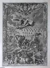
1693373381Alexis-Hubert Jaillot Paris 1693. Unframed Print. Very Good Condition. This richly allegorical frontispiece heralds Le Neptune Franois as a monument of maritime aspiration. At its centre Neptune the Roman god of the sea sits enthroned trident aloft amidst a teeming aquatic pageant of tritons nereids and fantastical sea beasts. A radiant celestial figure above unveils the title banner signalling divine favour while a distant fleet underscores Frances burgeoning naval prowess under Louis XIV.Commissioned during the height of French ambitions to dominate the seas the plates theatrical excess belies its practical function as the portal to a technical atlas. Though the charts within were largely Dutch in origin this frontispiece reframes them through the lens of French royal propaganda. Engraving 37 x 51 cms; sheet 47 x 61 cms Text is in French. Category: PRINTS : Antiquarian Interest; French Language; PRINTS : Historic Interest; Printed before 1700; French Language; Special Features. This item may require more postage than the rates shown for delivery outside the UK. If extra postage is required we will contact you before processing your order and you will be given the details and option to decline the extra cost. Alexis-Hubert Jaillot unknown
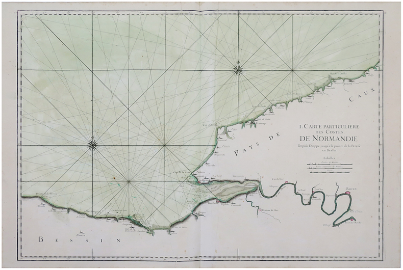
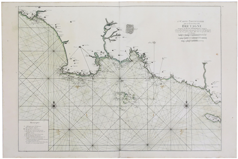
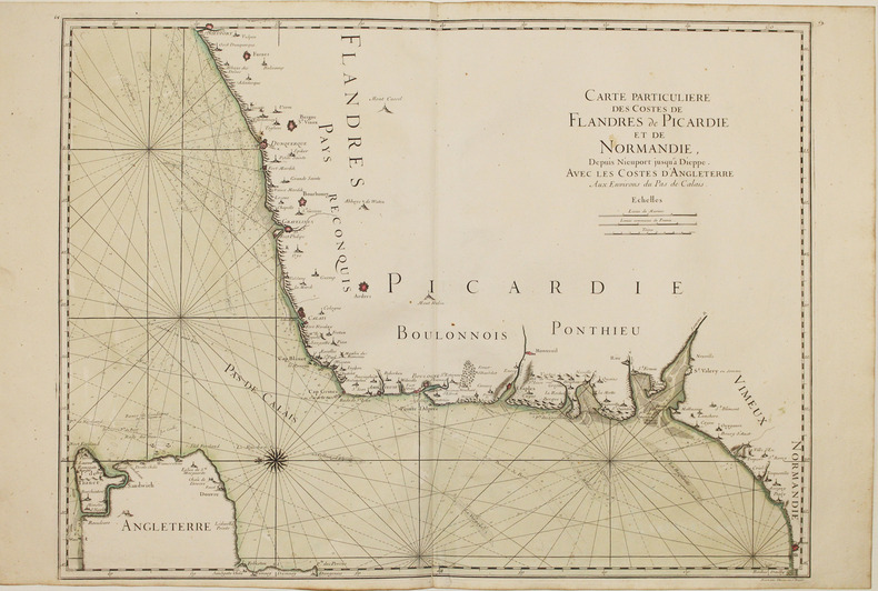
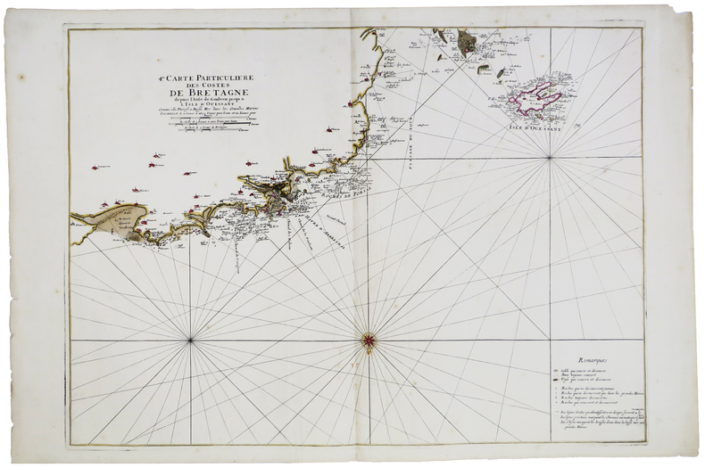
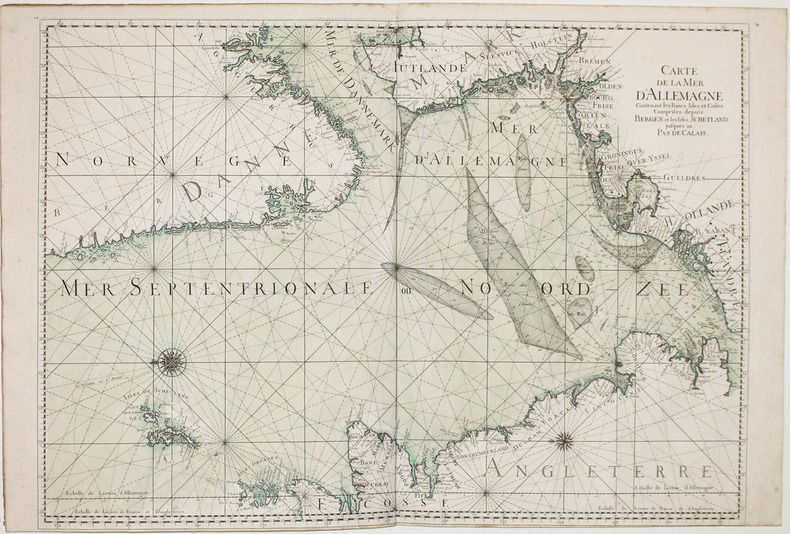
1693LBW-28861693. 588 x 859 mm.
1693LBW-5892[1693]. 582 x 798 mm.
1693LBW-2921[1693]. 454 x 895 mm.
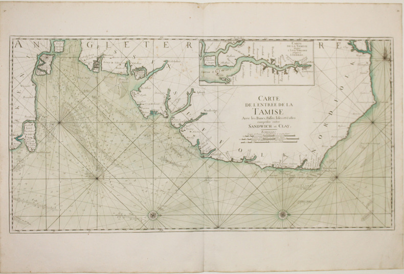
169316120Large engraved seechart, measuring 46 x 89 cm. in original outline colouring. The chart showing the South-east coast of England from Sandwich to Clay. With inset view of The Thames between London and Greane Island. A fine impression on good thick paper with watermark: BYCOLUMBIER. Folded down the center.
169316118Very large engraved seechart, measuring 61 x 87,5 cm. in original outline colouring with large inset view of the harbour of Kinsal and Kinsal River. The chart showing the Westcoast of Ireland from Bay of Roonstahound to Kiriec (in lower left corner C. Berey scr.) A fine impression on good thick paper with the watermark: BYCOLUMBIER. fOLDED DOWN THE CENTER.
169316120Large engraved seechart measuring 46 x 89 cm. in original outline colouring. The chart showing the South-east coast of England from Sandwich to Clay. With inset view of The Thames between London and Greane Island. A fine impression on good thick paper with watermark: BYCOLUMBIER. Folded down the center. <br/><br/><em>The "Neptune Francois" was published in 1693 and its charts are larger and more lavishly decorated than those of any preceding book of its kind. This chart is without year place and "par Ordre du Roi" pointing to a later issue but issued from the original copperplate. It is also without "Imprimerie Royale" belonging to the imprints from 1792. Koeman IV425:8. </em> unknown
169316118Very large engraved seechart measuring 61 x 875 cm. in original outline colouring with large inset view of the harbour of Kinsal and Kinsal River. The chart showing the Westcoast of Ireland from Bay of Roonstahound to Kiriec in lower left corner C. Berey scr. A fine impression on good thick paper with the watermark: BYCOLUMBIER. fOLDED DOWN THE CENTER. <br/><br/><em>The "Neptune Francois" was published in 1693 and its charts are larger and more lavishly decorated than those of any preceding book of its kind. The chart is without year place and "par Ordre du Roi" pointing to a later issue but issued from the original copperplate. It is also without "Imprimerie Royale" belonging to the imprints from 1792. Koeman IV425:11. </em> unknown
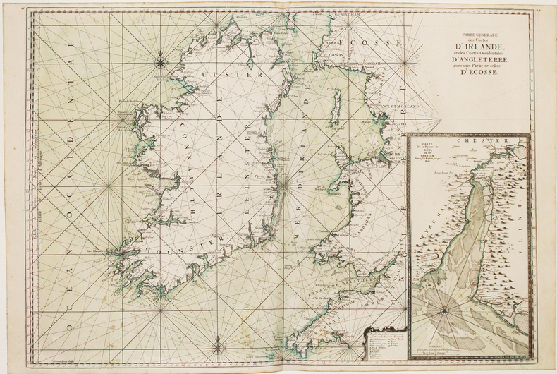
169316114(No date, no place, (1693). Very large engraved seechart, measuring 60,5 x 85,5 cm. in original outline colouring with inset view of the River Dee at Chester. The chart showing the whole of Ireland and the Westcoast of England from Cornwall to Cuningham in the north. A fine impression on good thick paper, bearing the watermark: BYCOLUMBIER. Folded down the center.
169316114No date no place 1693. Very large engraved seechart measuring 605 x 855 cm. in original outline colouring with inset view of the River Dee at Chester. The chart showing the whole of Ireland and the Westcoast of England from Cornwall to Cuningham in the north. A fine impression on good thick paper bearing the watermark: BYCOLUMBIER. Folded down the center. <br/><br/><em>The "Neptune Francois" was published in 1693 and its charts are larger and more lavishly decorated then those of any preceding book of its kind.This cart is without year place and "par ordre du Roi" pointing to a later print but issued from the original copperplate. It is also without "Imprimerie Royale" belonging to the most recent impression from 1792. Koeman IV425:10. </em> unknown
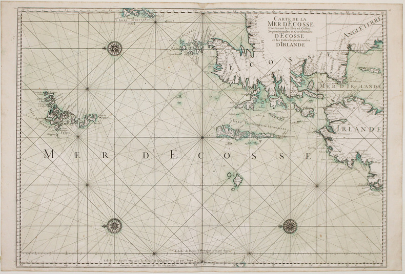
169316116(No place, no date(1693)). Very large engraved seechart, measuring 60 x 86,5 cm. in original outline colouring. The chart showing the Northern part of England from Lancaster to Banf, of Ireland from Blackrock to Carlingford and all the Islands to the north: Shetland, Orkney, Faroe etc. etc. A fine impression on good thick paper with the watermark: BYCOLUMBIER. Folded down the center.
169316116No place no date1693. Very large engraved seechart measuring 60 x 865 cm. in original outline colouring. The chart showing the Northern part of England from Lancaster to Banf of Ireland from Blackrock to Carlingford and all the Islands to the north: Shetland Orkney Faroe etc. etc. A fine impression on good thick paper with the watermark: BYCOLUMBIER. Folded down the center. <br/><br/><em>The "Neptune Francois" was published in 1693 and its charts are larger and more lavishly decorated than those of any preceding book of its kind. The chart is without year place and "par Ordre du Roi" pointing to a later impression but issued from the original copperplate. It is also without "Imprimerie Royale" belonging to the imprints from 1792. Koeman IV425:9. </em> unknown
1693LBW-2927[1693]. 590 x 880 mm.
169332305A Paris, (but Amsterdam, Pierre Mortier), 1693. 58x88 cm. Kobberstukket søkort over Øresund med den Skånsk/Hallandske kystline og den Sjællandske fra Møn i syd til Hesselø i nord. I pragtfuld fuld håndkolorering. Øverst i midten er indsat Amager og Saltholm i større målestok. Kortet ""ligger ned"", er orienteret øst/vest. Med kompasrose og vindretninger angivet.
169347353A Paris, (but Amsterdam, Pierre Mortier), 1693. 58x88 cm. Kobberstukket søkort over Øresund med den Skånsk/Hallandske kystline og den Sjællandske fra Møn i syd til Hesselø i nord. I pragtfuld fuld håndkolorering. Øverst i midten er indsat Amager og Saltholm i større målestok. Kortet ""ligger ned"", er orienteret øst/vest. Med kompasrose og vindretninger angivet.
169347353A Paris but Amsterdam Pierre Mortier 1693. 58x88 cm. Kobberstukket søkort over Øresund med den Skånsk/Hallandske kystline og den Sjællandske fra Møn i syd til Hesselø i nord. I pragtfuld fuld håndkolorering. Øverst i midten er indsat Amager og Saltholm i større målestok. Kortet "ligger ned" er orienteret øst/vest. Med kompasrose og vindretninger angivet. <br/><br/><em>Det berømte søkort over Sundet fra Jaillot's "Neptune Francois" men i P. Mortier's samtidige udgivelse heraf fra Amsterdam med tilføjelsen "Levée et Gravée" i kartouchen. Jaillot's to søkort over Danmark gav anledning til en kritik af Jens Sørensens opmåling idet Admiralitete forelagde ham de franske og påtalte at Sørensens kort næppe kunne være korrekte. Det var de imidlertid. Her er for første gang trykt det mere korrekte Amagerkort der foranlediger at øen på næsten alle senere kort gengives stor og rund. </em> unknown
169332305A Paris but Amsterdam Pierre Mortier 1693. 58x88 cm. Kobberstukket søkort over Øresund med den Skånsk/Hallandske kystline og den Sjællandske fra Møn i syd til Hesselø i nord. I pragtfuld fuld håndkolorering. Øverst i midten er indsat Amager og Saltholm i større målestok. Kortet "ligger ned" er orienteret øst/vest. Med kompasrose og vindretninger angivet. <br/><br/><em>Det berømte søkort over Sundet fra Jaillot's "Neptune Francois" men i P. Mortier's samtidige udgivelse heraf fra Amsterdam med tilføjelsen "Levée et Gravée" i kartouchen. Jaillot's to søkort over Danmark gav anledning til en kritik af Jens Sørensens opmåling idet Admiralitete forelagde ham de franske og påtalte at Sørensens kort næppe kunne være korrekte. Det var de imidlertid. Her er for første gang trykt det mere korrekte Amagerkort der foranlediger at øen på næsten alle senere kort gengives stor og rund. </em> unknown
1693LBW-2918[1693]. 607 x 868 mm.
1693LBW-2928[1693]. 585 x 873 mm.