NEPTUNE FRANÇOIS.Livre Rare Book
47 résultats
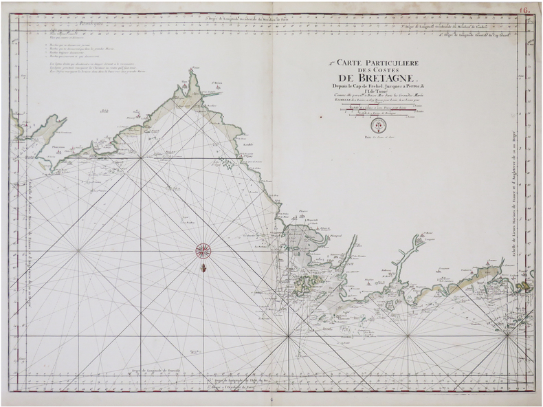
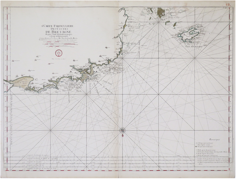
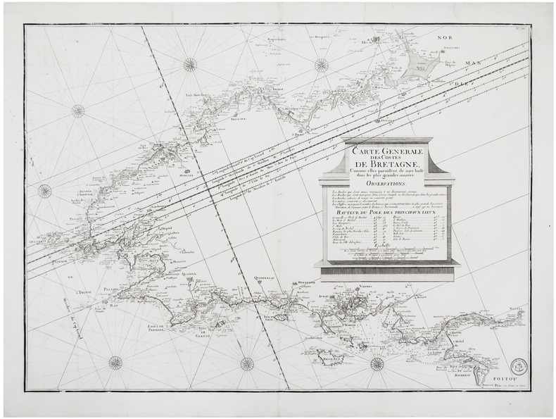
1810LBW-6248[Paris], Dépôt de la Marine, [circa 1810]. 543 x 753 mm.
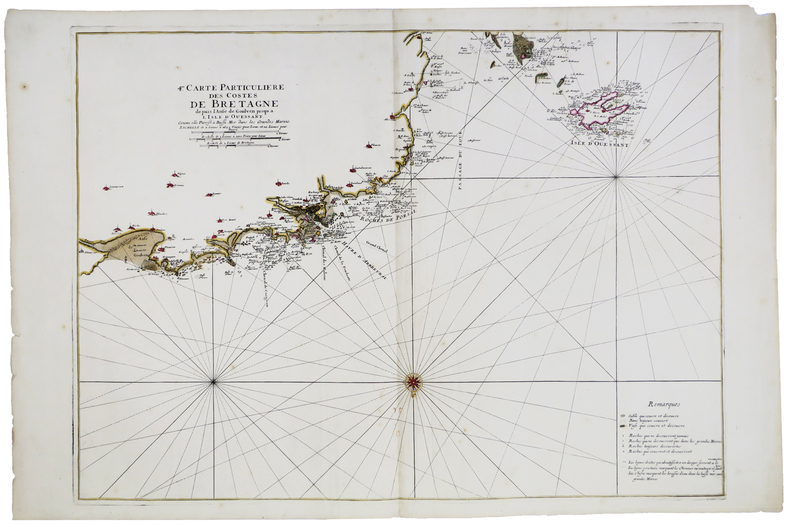
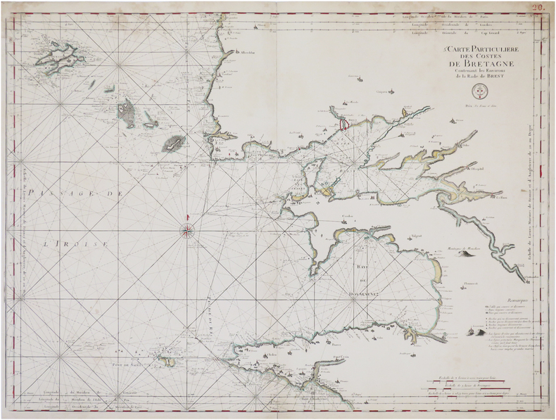
1820LBW-8762[Paris, circa 1820]. 582 x 807 mm.
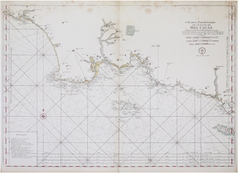
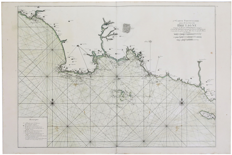
1693LBW-5892[1693]. 582 x 798 mm.
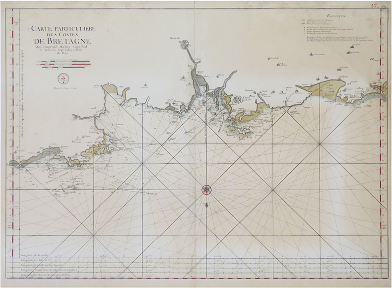
1820LBW-8761[Paris, circa 1820]. 586 x 807 mm.
1820LBW-8769[Paris, circa 1820]. 579 x 805 mm.
1820LBW-8794[Paris, circa 1820]. 598 x 806 mm.
1693LBW-2918[1693]. 607 x 868 mm.
1693LBW-28861693. 588 x 859 mm.
1693LBW-2928[1693]. 585 x 873 mm.
1693LBW-2921[1693]. 454 x 895 mm.
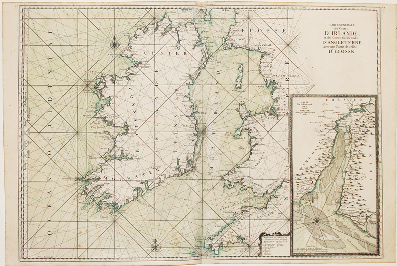
169316114(No date, no place, (1693). Very large engraved seechart, measuring 60,5 x 85,5 cm. in original outline colouring with inset view of the River Dee at Chester. The chart showing the whole of Ireland and the Westcoast of England from Cornwall to Cuningham in the north. A fine impression on good thick paper, bearing the watermark: BYCOLUMBIER. Folded down the center.
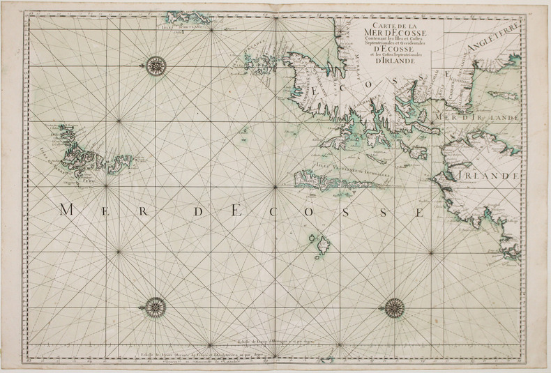
169316116(No place, no date(1693)). Very large engraved seechart, measuring 60 x 86,5 cm. in original outline colouring. The chart showing the Northern part of England from Lancaster to Banf, of Ireland from Blackrock to Carlingford and all the Islands to the north: Shetland, Orkney, Faroe etc. etc. A fine impression on good thick paper with the watermark: BYCOLUMBIER. Folded down the center.
169316118Very large engraved seechart, measuring 61 x 87,5 cm. in original outline colouring with large inset view of the harbour of Kinsal and Kinsal River. The chart showing the Westcoast of Ireland from Bay of Roonstahound to Kiriec (in lower left corner C. Berey scr.) A fine impression on good thick paper with the watermark: BYCOLUMBIER. fOLDED DOWN THE CENTER.
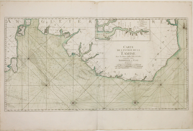
169316120Large engraved seechart, measuring 46 x 89 cm. in original outline colouring. The chart showing the South-east coast of England from Sandwich to Clay. With inset view of The Thames between London and Greane Island. A fine impression on good thick paper with watermark: BYCOLUMBIER. Folded down the center.
169332305A Paris, (but Amsterdam, Pierre Mortier), 1693. 58x88 cm. Kobberstukket søkort over Øresund med den Skånsk/Hallandske kystline og den Sjællandske fra Møn i syd til Hesselø i nord. I pragtfuld fuld håndkolorering. Øverst i midten er indsat Amager og Saltholm i større målestok. Kortet ""ligger ned"", er orienteret øst/vest. Med kompasrose og vindretninger angivet.
169347353A Paris, (but Amsterdam, Pierre Mortier), 1693. 58x88 cm. Kobberstukket søkort over Øresund med den Skånsk/Hallandske kystline og den Sjællandske fra Møn i syd til Hesselø i nord. I pragtfuld fuld håndkolorering. Øverst i midten er indsat Amager og Saltholm i større målestok. Kortet ""ligger ned"", er orienteret øst/vest. Med kompasrose og vindretninger angivet.
1693LBW-2927[1693]. 590 x 880 mm.
R150150495CHEZ L AUTEUR.. Non daté. In-4. Broché. Bon état, Couv. légèrement passée, Dos satisfaisant, Intérieur acceptable. 370 pages. Nombreuses illustrations en noir et blanc et en couleurs dans le texte et hors texte. Etiquette collée sur le premier plat de couverture.. . . . Classification Dewey : 56-Catalogue
19495375Paris, Flammarion (Bibliothèque de Philosophie scientifique), 1949 ; in-8, broché ; 292 pp., (1) f. de table ; couverture rose imprimée, illustrée en blanc.