946 résultats
1988117821Paris L'Instant, coll. "Griffures" 1988 1 vol. broché in-8, broché, 339 pp. Très bon état.
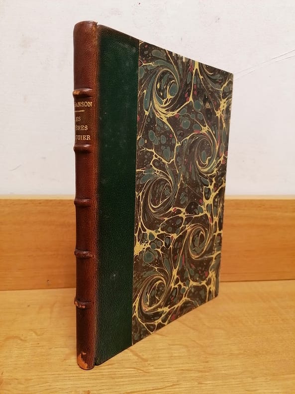
1889115711Rouen E. Cagniard 1889 1 vol. relié in-8, demi-chagrin vert, dos à nerfs, 110 pp., frontispice et 12 illustrations in et hors-texte. Dos passé, sinon très bon exemplaire.
62034P., Librairie Agricole de la Maison Rustique (Bibliothèque Agricole), 1896, in 12 broché, VII-382 pages ; 20 figures ; index in-fine ; quelques rousseurs ; couverture fanée.
186779947Paris Librairie Agricole de la Maison Rustique 1867 1 vol. relié fort vol. in-12, demi-basane fauve à coins, dos à nerfs orné de fleurons dorés et d'encadrements à froid, 572 pp., 89 jolies gravures in-texte et à pleine page. Petites traces de frottement sans gravité au dos et aux coins. Sinon très bon exemplaire, dans une agréable reliure d'époque.
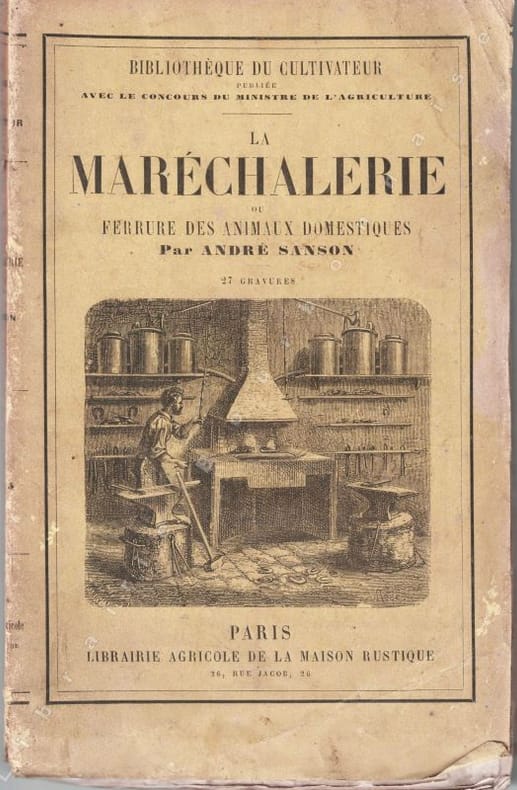
13305Paris, Librairie agricole de la Maison rustique, 1868 ; in-16 (12 x 19 cm), broché. 180 pp. - 36 pp. (catalogue de la librairie agricole). 28 gravures in-texte. Couverture imprimée présentant des salissures.
c2706Paris, Librairie agricole de la Maison Rustique,1897 ;in-8°,broché,couverture beige imprimée et illustrée en noir; VIpp.,163pp.,4pp.(catalogue); petite tache d'encre noir à la couverture en pied au 1er plat et dos et au 2ème plat,avec petites traces dans la marge supérieure et inférieure des 4 derniers feuillets, mais exemplaire fort correct.
189771341897 Paris, Librairie agricole de la maison rustique, 1897, in 8 br. de VI-163-4 pp. de catalogue, couverture illustrée, bon ex.
4654P., Asselin et Houzeau, 1893; un volume in 8 relié en demi-soie verte, dos orné d'un fleuron doré, couvertures conservées (reliure de l'époque), (qq. rousseurs), 7pp., 431pp.
72445Desclée de Brouwer 1941, in-12 broché, 54pp - très bon état
62660Librairie Rambaud, Romans sd ( 1946 ), in-8 cartonnage éditeur illustré, dos toilé, 104pp avec des photographies in-texte et une grande carte dépliante en couleurs - très bon état
174238209Amsterdam: Pierre Mortier 1742. A BEAUTIFUL HAND-COLORED MAP OF WESTERN LANGUEDOC and areas to the west and north. 60 x 45.5 cm plate 62 x 52 cm sheet. The areas described in the title are FULLY COLORED BY A CONTEMPORARY HAND. Printed on fine thick laid paper. Reverse blank. A fine impression. A PRISTINE EXAMPLE with the paper FINE AND BRIGHT. Very scarce in such fine condition. <br/><br/> Pierre Mortier unknown
1828R320133137Spes. 1927-1828. In-12. Broché. Etat d'usage, Couv. légèrement passée, Agraffes rouillées, Papier jauni. 24 + 24 + 23 + 24 + 23 + 24 + 51 + 24 + 24 + 24 + 24 + 24 + 24 + 82 pages agrafées - rousseurs sur les plats... . . . Classification Dewey : 200-RELIGION
1723202384Amsterdam: Mortier Pieter II 1723. unbound. very good. Map. Engraving with hand coloring. Image measures 14.5" x 19.25".<br/><br/> Includes parts of modern day Morocco Algeria Tunisia and Libya. Nicolas Sanson 1600-1667 is considered the founder of the French school of cartography. In reaction to the prevailing trend of Dutch lavishness Sanson favored minimal details focusing rather on accurate cartography than ornament. Large decorative title cartouche. Map is in good condition with ample margins. Staining along centerfold. Chipped near edges along centerfold.<br/><br/> Mortier, Pieter II unknown books
169648399Amsterdam: Pierre Mortier 1696. Engraved broadside map 19 x 23 5/8 inches plate mark dimensions with extensive pink and green wash. Some light browning but an attractive copy. Matted glazed and framed. One of two issues of this map this one being a bit larger based on the Thornton-Morden map of circa 1685. Pictures the colony from the Santee River to the South Edisto River and well inland up the Cooper River. Physical features and names of plantation and land owners are given in English "Nouveau Londre" on the Edistow sic River being exceptions; soundings are given at river mouths in Charleston Harbor and in the ocean along some beaches. Cumming Southeast in Early Maps 121. Kendall Early Maps of Carolina 17c: "This map has a wealth of names of owners of land in Carolina." <br/><br/> Pierre Mortier unknown books
269694Paris: Nicolas Sanson. unbound. Map. Uncolored copper engraving. Image measures 15 3/4" x 19 3/4". c.1660.<br/><br/> This elegant circa 1660 map by Nicolas Sanson features the famous French winemaking region of Champagne and the cheese making region of Brie. It extends south from the regions of Picardie to Burgundy and from Isle de France east to Lorraine. The map notes several towns and rivers with beautifully rendered mountains and forests throughout. An engraved grape surround cartouche features cherubs on the top left and the bottom right scale is surrounded by cherubs with mapping tools. The map has a stain in the upper right margin with minor foxing and minimal wear along the centerfold. Minor edge wear.<br><br>Nicolas Sanson 1600-1667 is considered the founder of the French school of cartography. This map is a fine example of his work and a pleasure to see black and white.<br/><br/> Nicolas Sanson unknown books
1723209708Amsterdam: Mortier Pieter 1723. unbound. very good. Map. Engraving with hand outline. Image measures 14" x 18.75".<br/><br/> Beautifully detailed map showing the area between the the Black and Caspian Seas including modern day Russia Georgia Azerbaijan Armenia and Turkey. Full original margins have minor stains. Based on the plates by Nicolas Sanson 1600-1667 who is considered the founder of the French school of cartography. In reaction to the prevailing trend of Dutch lavishness Sanson favored minimal details focusing rather on accurate cartography than ornament.<br/><br/> Mortier, Pieter unknown books
215370Amsterdam: Pierre Mortier. unbound. very good. Map. Engraving with hand outline. Image measures 13 11/16" x 22 3/8".<br/><br/> Rare map of northern Turkey centered around Ankara circa 1700. Minor scattered toning chipping to edges. Full original margins.<br/><br/> Pierre Mortier unknown books
1647WB16371Lutetiae Parisiorum: Sumptibus & Impensis Autoris 1647. Hardcover. Good. 16mo. Old leather; quite worn. pp 16 246 2. Liber primus only. <br/><br/> Sumptibus & Impensis Autoris hardcover books
1680264415Paris 1680. unbound. Map. Uncolored copper plate engraving. Image measures 7.5" x 10". 1680.<br/><br/> This map of southeast Asia and the East Indies is essentially two maps on a single sheet. The map on the left depicts the northern portion of the India Ganges region representing Burma Myanmar Thailand Cambodia Vietnam and Laos while the map of the right depicts the southern portion and includes the Malay Peninsula Singapore Sumatra. The most interesting feature is the Lacus Chimay Chimay Lake the mythical lake located in northern Burma which was believed to be the source of the river system in Southeast Asia. Important towns and cities are identified with beautifully rendered topography depicted in profile. Map is in very good condition with some toning along original centerfold which shows repairs on verso. Minimal foxing. <br><br>Nicolas Sanson 1600-1667 is considered the founder of the French school of cartography. In reaction to the prevailing trend of Dutch lavishness Sanson favored minimal details focusing rather on accurate cartography than ornament. This map is a fine example of his work.<br/><br/> unknown books
1663283501Paris 1663. unbound. very good. Map. Hand-colored engraving. 15" x 23".<br/><br/> This map of Sicily from the 17th century shows the entire island as well as the southwesternmost tip of the Italian peninsula. The names of the surrounding bodies of water are named in Latin and rivers mountains lakes and towns are noted on the map. Nicolas Sanson 1600-1667 is considered the founder of the French school of cartography. In reaction to the prevailing trend of Dutch lavishness Sanson favored minimal details focusing rather on accurate cartography than ornament. This map is a fine example of his work.<br/><br/> unknown books
1656006682Paris: Chez l'Autheur 1656. First Edition . Full Calf. Very Good. 4to. 23.5 by 17.5 cm. Unpaginated 100 pages of text plus 2 pp. of ads. With 18 copper engraved maps all two page plates each with hand-colored of boundaries. Maps include one of the entire continent then of its various regions as then known plus the islands off the continent. Also a map of Malta. Bound in contemporary calf. Condition: calf dry and rubbed on spine and joints and edges rubbed. Light to moderate soiling in the margins of the pages. Two bookplates -- one of the Marquis of Lothian the other the Newbattle Abbey Library. <br /><br /> Chez l'Autheur books
1652006683Paris: Chez l'Autheur 1652. First Edition . Full Calf. Very Good. 4to. 23.5 by 17.5 cm. Unpaginated 102 pages of text plus 2 pp. of ads 1 Royal privilege page. With 17 copper engraved maps all two page plates each with hand-colored of boundaries. Maps include one of the entire continent then of its various regions as then known plus island groups. Separate maps for China and Japan. Bound in contemporary calf. Condition: Rebacked with joints making this obvious. Calf dry and rubbed on spine and joints and edges rubbed. Light to moderate soiling in the margins of the pages. Edge of a few leaves with short stretch slightly chewed-looking. Two bookplates -- one of the Marquis of Lothian the other the Newbattle Abbey Library. <br /><br /> Chez l'Autheur books