SANSON d'ABBEVILLE (Nicolas).Livre Rare Book
946 résultats
1679LBW-7225Paris, chez l'auteur, 1679. 397 x 484 mm.
1658LBW-5169Paris, Pierre Mariette, 1650 [1658]. 369 x 501 mm.
1658LBW-3423Paris, chez l'auteur, 1658. 403 x 573 mm.
1661LBW-3670Paris, P. Mariette, 1661. 418 x 521 mm.
1670LBW-7226Paris, P. Mariette, 1670. 367 x 423 mm.
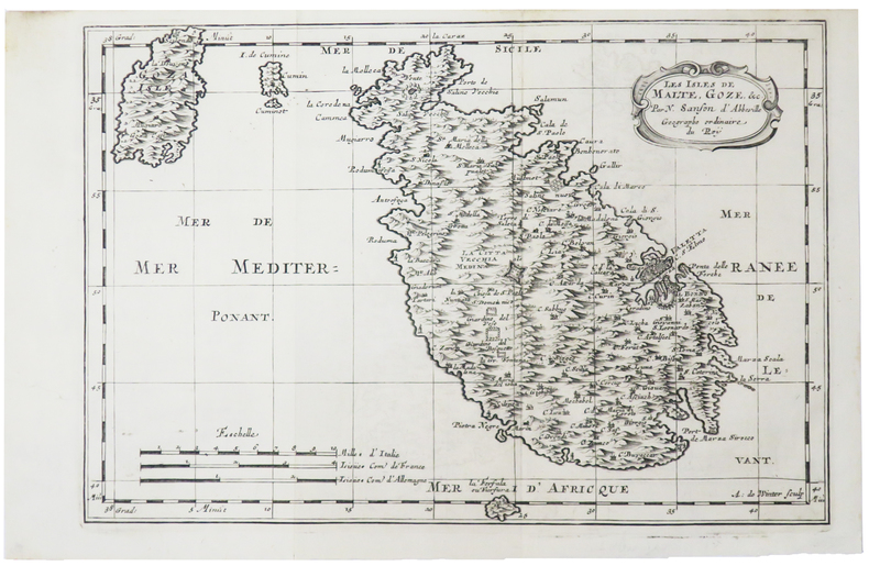
1700LBW-5388[1700]. 204 x 301 mm.
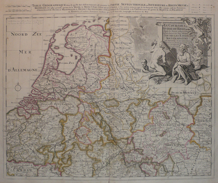
LBW0416fAmsterdam, Pierre Schenk, [circa 1700]. 472 x 575 mm.
1658LBW-51971652 [1658]. 313 x 457 mm.
1656LBW-6504Paris, Pierre Mariette, 1656. 402 x 545 mm.
1676LBW-7221Paris, Pierre Mariette, 1676. 327 x 475 mm.
1700LBW-5427[1700]. 202 x 266 mm.
1660LBW-5437[circa 1660]. 195 x 247 mm.
1680LBW-5478[Paris, circa 1680]. 187 x 245 mm.
1703LBW02524Paris chez l'autheur 1703 417 x 560 mm.
1650LBW-4944Paris, chez l'auteur et chez Pierre Mariette, 1650. 393 x 553 mm.
169998233Paris chez l'auteur 1699-1690 1 vol. relié 2 parties reliées en un vol. in-18, basane havane écailles de tortue, dos à nerfs, pièces de titre de basane bordeaux, caissons ornés de fleurons et dentelles dorées, tranches rouges, (22) + 144 et 178 + (12) + 48 pp. (cat. éd.), 4 cartes dépliantes sur les 6 (reliure de l'époque usée mais solide). Nicolas Sanson (1600-1667) né à Abbeville est cartographe célèbre du XVIIe siècle. Sa première carte importante est "Les Postes de France", en 1632.
169998233Paris chez l'auteur 1699-1690 1 vol. relié 2 parties reliées en un vol. in-18, basane havane écailles de tortue, dos à nerfs, pièces de titre de basane bordeaux, caissons ornés de fleurons et dentelles dorées, tranches rouges, (22) + 144 et 178 + (12) + 48 pp. (cat. éd.), 4 cartes dépliantes sur les 6 (reliure de l'époque usée mais solide). Nicolas Sanson (1600-1667) né à Abbeville est cartographe célèbre du XVIIe siècle. Sa première carte importante est "Les Postes de France", en 1632.
1655LBW-7677Paris, Pierre Mariette, 1655. 342 x 547 mm.
1683LBW-6981683 197 x 269 mm.
1652LBW-656Paris, Pierre Mariette, 1652. 404 x 533 mm.
1700LBW-4948[1700]. 185 x 239 mm.
3253Americas: Amsterdam Francois Halma 1705. Copper engraved map of Peru by N. Sanson from Halma's Algemeene Werelde Beschryving Vol. 3 Black and white; title in Dutch; verso blank; strapwork title cartouche. Small map of Tierra del Fuego showing both the Strait of Magellan and Le Maire Strait. Inland detail is confined to a mountain range and several rivers and the mythical Destroit de Browers is labeled at far right. This map appeared in Algemeene Weereld-Beschryving nae de Rechte Verdeeling der Landschappen Plaetsen Zeeën Rivieren &c. Geographisch Politisch Historisch Chronologisch en Genealogisch a Dutch edition of A. Phérotée de la Croix's Nouvelle Methode Pour Apprendre Facilement la Geographie Universelle which first appeared in 1690. Dark impression. Nicolas Sanson d'Abbeville.1600-67 ' father of the French cartography' and founder of the Sanson firm. Atlas ' Cartes générales de toutes les parties du Monde' 1658-70 and a pocket atlas in 4 parts 1652-1705. Sanson's small maps from A. Phérotée de la Croix's Nouvelle Methode Pour Apprendre Facilement la Geographie Universelle. first published in 1652 and engraved by A. Peyrounin were copied several times by various map publishers. Johann David Zunners made copies of Sanson's maps for his German translation of Die Gantze Erd-Kugel in 1679. Johannes Ribbius and Simon de Vries published copies in 1682 and 1683 with new maps engraved by Antoine d'Winter. The plates were later sold to Francois Halma who used them in 1699 and then again in 1705 with the titles re-engraved in Dutch. François Halma 1653 - 1722 Dutch publisher/printer; dealer/auction house. Cartographer and publisher of maps active in Utrecht Amsterdam Franeker and Leeuwarden. Published 'Description de l'Univers' 1700; 'Algemene Wereldtbescrijving' 1705; 'Corpus Inscriptionum' 1707 and 'Lexicon Philosophicum' 1713. Halma acquired many of the plates for Algemeene Weereld-Beschryving from Joannes Ribbius who had enlisted the services of engraver Antoine de Winter to make copies of the maps in Nicolas Sanson's quarto atlases of the four continents. De Winter made very few geographical changes and maintained the attribution to Sanson on the newly engraved plates. Halma supplemented the Sanson maps with about a dozen new maps engraved in the same style as Sanson's without any attribution on the maps as well as 23 panoramic views of famous cities around the world. Keoman: Hal 1; Phillips 528. Americas South America Tierra del Fuego Magellanica Strait of Magellan Amsterdam Francois Halma 1705 unknown
16709482<p>Scarce map engraving outlined in original color from Sanson's <em>Cartes Generales de Toutes les Parties du Monde. </em>The image measures approximately 19.75 x 16.5 in 50 x 42 cm; page measures 23.25 x 17.5 in 59 x 44.5 cm.</p> Pierre Mariette
1723202384Amsterdam: Mortier Pieter II 1723. unbound. very good. Map. Engraving with hand coloring. Image measures 14.5" x 19.25".<br/><br/> Includes parts of modern day Morocco Algeria Tunisia and Libya. Nicolas Sanson 1600-1667 is considered the founder of the French school of cartography. In reaction to the prevailing trend of Dutch lavishness Sanson favored minimal details focusing rather on accurate cartography than ornament. Large decorative title cartouche. Map is in good condition with ample margins. Staining along centerfold. Chipped near edges along centerfold.<br/><br/> Mortier, Pieter II unknown books