Sanson NicolasABAA

946 résultats
1652010748twParis: Sanson. Very Good. 1652. A very rare map from Nicolas Sanson. Imprint bears the date of 1652 although it is possible that this copy came from an atlas in the later 1600s. Light toning and edgewear with one corner slightly chipped. Light soil on lower margin. Hand-colored boundaries. Map borders measure 14" x 20 3/4". California is shown as an island and Terre Australe is a vague line encircling the Antarctic. Terre de Iesso is the name given to the land mass northwest of North America. Sanson 1600-1667 published many map versions of the world and is known as "the father of French cartography." ; 16 1/2" x 22 1/4" . Sanson unknown books
1652287521Abbeville: Nicolas Sanson 1652. unbound. Map. Engraving with original outline hand coloring. Image measures 15 1/2" x 20 1/2". Shows light foxing and some mat burn.<br/><br/> A beautiful and unususual double hemisphere hydrological world map from the mid 17th century. Shows and highlights all bodies of water including oceans gulfs lakes straits and rivers. Wonderful light hachure marks hint of a land mass in Terre Australe. Nicolas Sanson 1600-1667 is considered the founder of the French school of cartography. In reaction to the prevailing trend of Dutch baroque design Sanson favored minimal details focusing rather on accurate cartography than ornament. Shirley R.W. World 394<br/><br/> Nicolas Sanson unknown books
1652251161Paris 1652. unbound. Map. Engraving with hand outline color. Image measures 14 x 16.5%u201D.<br/><br/> This map of southeastern France includes the erstwhile provinces of Dauphiné corresponding roughly to the present departments of Isère Drôme and Hautes-Alpes as well as parts of Savoye and Bresse. At the time of the map%u2019s publication in 1652 Dauphiné was under the absolutist rule of King Louis XIV. The cartographer Nicolas Sanson as Royal Geographer to Louis XIV as well as Louis III likely understood the importance of this region to French interests of the time. The map thusly provides ample detail about the area including cities rivers mountains and significant forts. Hand-colored outlines indicate political boundaries. An elegant cartouche in the upper right corner of the map displays the title amidst scrollwork topped with the crown of the French monarchy. The map is in very good condition with full margins and no chips or tears. Nicolas Sanson 1600-1667 is considered the founder of the French school of cartography. In reaction to the prevailing trend of Dutch lavishness Sanson favored minimal details focusing rather on accurate cartography than ornament. This map points to his significant role within the French monarchy.<br/><br/> unknown books
1648251162Paris 1648. unbound. Map. Engraving with hand outline color. Image measures 14.5 x 21.5 inches.<br/><br/> This map of Switzerland centers on Lucerne covering approximately the area from Lake Constance south to Lake Como in Italy. Published in 1648 the map dates to the period of the Old Swiss Confederacy. Furthermore it predates by only a few years the Swiss Peasant War of 1653 a siege of Lucerne and Bern that demonstrated the significance of the rural population to the confederacy%u2019s stability. Hand-colored outlines on the map indicate the various independent states that made up the confederacy. A title cartouche with elaborate scrollwork adorns the lower right corner of the map. The map is in good condition with full margins and no chips or tears. Wear to lower margin. Nicolas Sanson 1600-1667 is considered the founder of the French school of cartography. In reaction to the prevailing trend of Dutch lavishness Sanson favored minimal details focusing rather on accurate cartography than ornament. This map demonstrates the skill that made him such a valuable asset to the French monarchy.<br/><br/> unknown books
215454Amsterdam: Mortier Pieter. unbound. very good. Map. Engraving with original hand outline. Image measures 14.5" x 18.75".<br/><br/> Beautiful and rare map of northern Anatolia in Turkey circa 1708. Detailed and animated cartouche. Paphlagonia is the ancient area along the southern coast of the Black Sea. Full original margins light scattered foxing. Based on earlier plates by Nicolas Sanson 1600-1667 who is considered the founder of the French school of cartography. In reaction to the prevailing trend of Dutch lavishness Sanson favored minimal details focusing rather on accurate cartography than ornament.<br/><br/> Mortier, Pieter unknown books
1683297468Paris 1683. unbound. Map. Copper engraving with hand coloring. Image measures 7 5/8 x 11 1/4 inches.<br/><br/> This map published in Paris in Afrique en plusieurs cartes is one of Sanson's small atlas maps of depicting various African regions. This map offers extensive detail on the cities of North Africa as well as topographical and geographical features with mountains beautifully rendered in profile. Nicolas Sanson 1600-1667 is considered the founder of the French school of cartography. In reaction to the prevailing trend of Dutch lavishness Sanson favored minimal details focusing rather on accurate cartography than ornament. This map is a fine example of his work.<br/><br/> unknown books
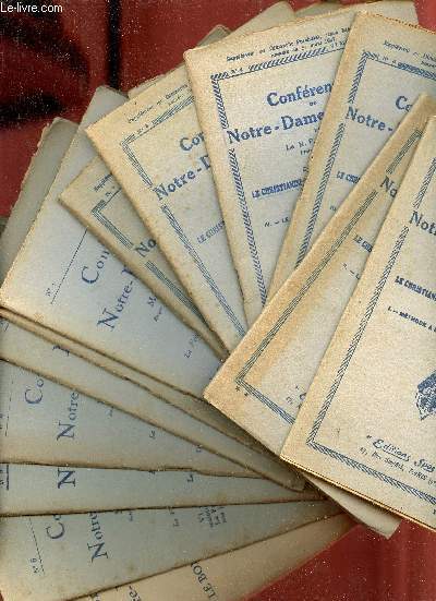
1828R320133137Spes. 1927-1828. In-12. Broché. Etat d'usage, Couv. légèrement passée, Agraffes rouillées, Papier jauni. 24 + 24 + 23 + 24 + 23 + 24 + 51 + 24 + 24 + 24 + 24 + 24 + 24 + 82 pages agrafées - rousseurs sur les plats... . . . Classification Dewey : 200-RELIGION
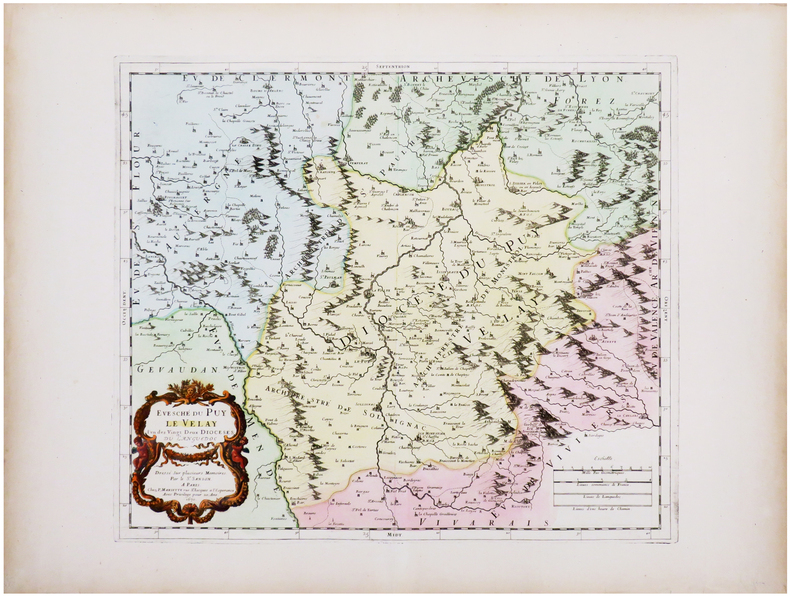
174238209Amsterdam: Pierre Mortier 1742. A BEAUTIFUL HAND-COLORED MAP OF WESTERN LANGUEDOC and areas to the west and north. 60 x 45.5 cm plate 62 x 52 cm sheet. The areas described in the title are FULLY COLORED BY A CONTEMPORARY HAND. Printed on fine thick laid paper. Reverse blank. A fine impression. A PRISTINE EXAMPLE with the paper FINE AND BRIGHT. Very scarce in such fine condition. <br/><br/> Pierre Mortier unknown
62660Librairie Rambaud, Romans sd ( 1946 ), in-8 cartonnage éditeur illustré, dos toilé, 104pp avec des photographies in-texte et une grande carte dépliante en couleurs - très bon état
72445Desclée de Brouwer 1941, in-12 broché, 54pp - très bon état
4654P., Asselin et Houzeau, 1893; un volume in 8 relié en demi-soie verte, dos orné d'un fleuron doré, couvertures conservées (reliure de l'époque), (qq. rousseurs), 7pp., 431pp.
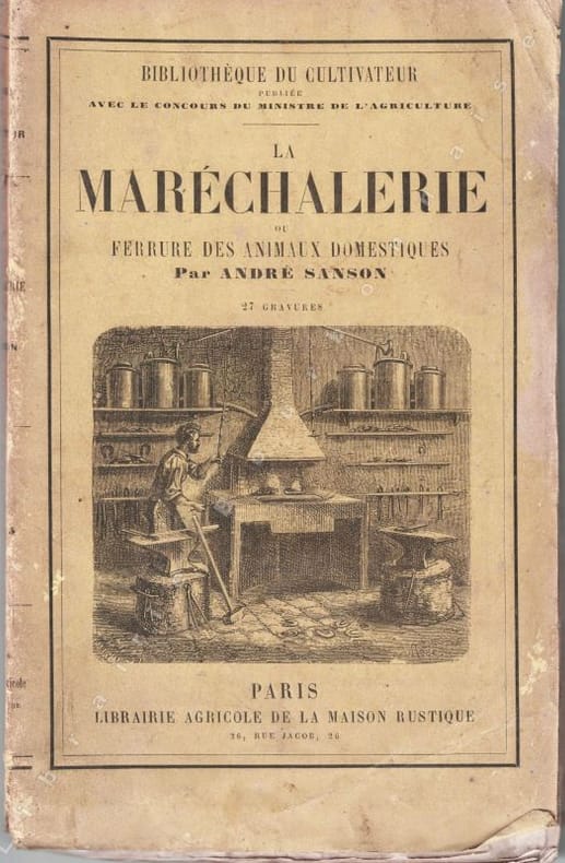
189771341897 Paris, Librairie agricole de la maison rustique, 1897, in 8 br. de VI-163-4 pp. de catalogue, couverture illustrée, bon ex.
186779947Paris Librairie Agricole de la Maison Rustique 1867 1 vol. relié fort vol. in-12, demi-basane fauve à coins, dos à nerfs orné de fleurons dorés et d'encadrements à froid, 572 pp., 89 jolies gravures in-texte et à pleine page. Petites traces de frottement sans gravité au dos et aux coins. Sinon très bon exemplaire, dans une agréable reliure d'époque.
186779947Paris Librairie Agricole de la Maison Rustique 1867 1 vol. relié fort vol. in-12, demi-basane fauve à coins, dos à nerfs orné de fleurons dorés et d'encadrements à froid, 572 pp., 89 jolies gravures in-texte et à pleine page. Petites traces de frottement sans gravité au dos et aux coins. Sinon très bon exemplaire, dans une agréable reliure d'époque.
13305Paris, Librairie agricole de la Maison rustique, 1868 ; in-16 (12 x 19 cm), broché. 180 pp. - 36 pp. (catalogue de la librairie agricole). 28 gravures in-texte. Couverture imprimée présentant des salissures.
c2706Paris, Librairie agricole de la Maison Rustique,1897 ;in-8°,broché,couverture beige imprimée et illustrée en noir; VIpp.,163pp.,4pp.(catalogue); petite tache d'encre noir à la couverture en pied au 1er plat et dos et au 2ème plat,avec petites traces dans la marge supérieure et inférieure des 4 derniers feuillets, mais exemplaire fort correct.
62034P., Librairie Agricole de la Maison Rustique (Bibliothèque Agricole), 1896, in 12 broché, VII-382 pages ; 20 figures ; index in-fine ; quelques rousseurs ; couverture fanée.
1889115711Rouen E. Cagniard 1889 1 vol. relié in-8, demi-chagrin vert, dos à nerfs, 110 pp., frontispice et 12 illustrations in et hors-texte. Dos passé, sinon très bon exemplaire.
1889115711Rouen E. Cagniard 1889 1 vol. relié in-8, demi-chagrin vert, dos à nerfs, 110 pp., frontispice et 12 illustrations in et hors-texte. Dos passé, sinon très bon exemplaire.
1988117821Paris L'Instant, coll. "Griffures" 1988 1 vol. broché in-8, broché, 339 pp. Très bon état.
1988117821Paris L'Instant, coll. "Griffures" 1988 1 vol. broché in-8, broché, 339 pp. Très bon état.
166033638ABA Paris chez P. Mariette 1660. Blattgrösse: 44x58 cm. Grenzkolorierte Karte (36,7x55 cm) von Nicolas Sanson, gestochen von Somer.
129971aaf(1734), 20.5x30.5 cm (la carte) carte coloriée et montée sur carton, légèrement bruni, 1 planche. (23x33.4 cm, la feuille).
1690167791690 basane brune, dos à n. 2 tomes en un vol. in-12, (12ff.), 144pp. et titre, 178pp., (7ff.), 48pp., (catalogue des libraires), 4 planches dépliantes (la quatrième est incomplete de sa plus grande partie…) A Paris chez l'auteur, aux galleries du Louvres, vis-à-vis l'Eglise de St. Nicolas. 1690
1670LBW-7226Paris, P. Mariette, 1670. 367 x 423 mm.