SANSON d'ABBEVILLE (Nicolas).Livre Rare Book
946 résultats
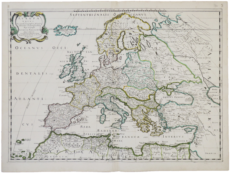
1656LBW-3411Paris, P. Mariette, 1656. 415 x 485 mm.
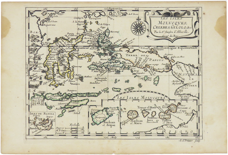
1660LBW-5437[circa 1660]. 195 x 247 mm.
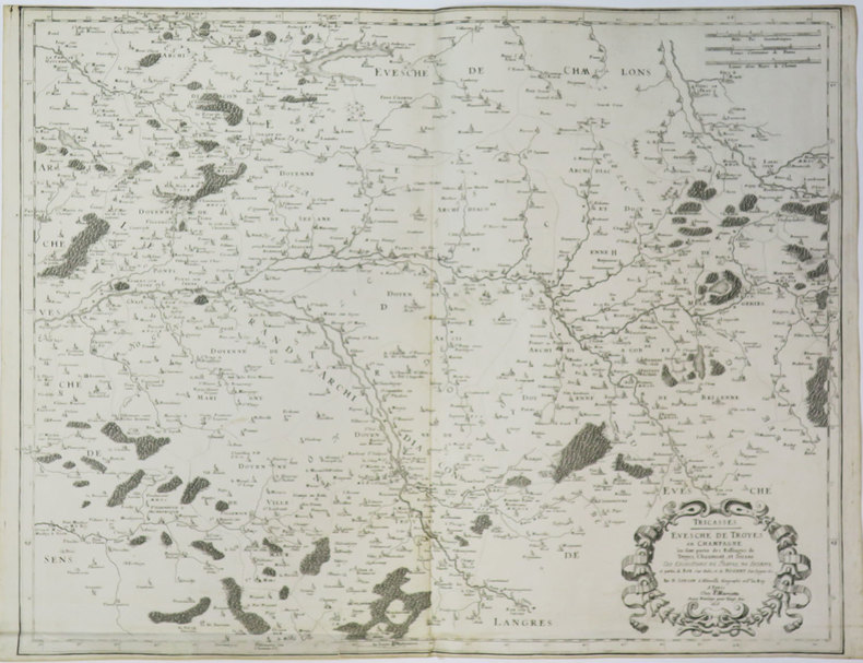
1656LBW-3638Paris, P. Mariette, 1656. 430 x 544 mm.
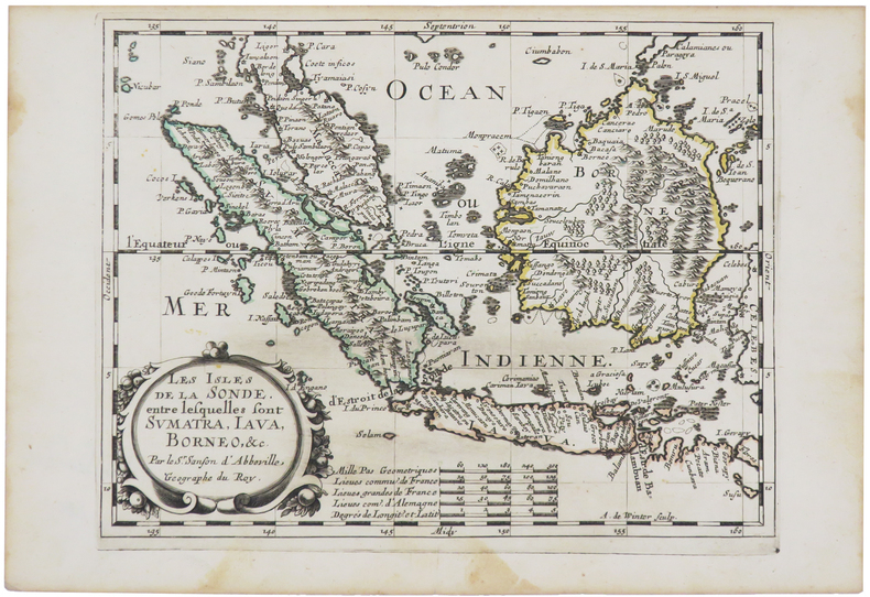
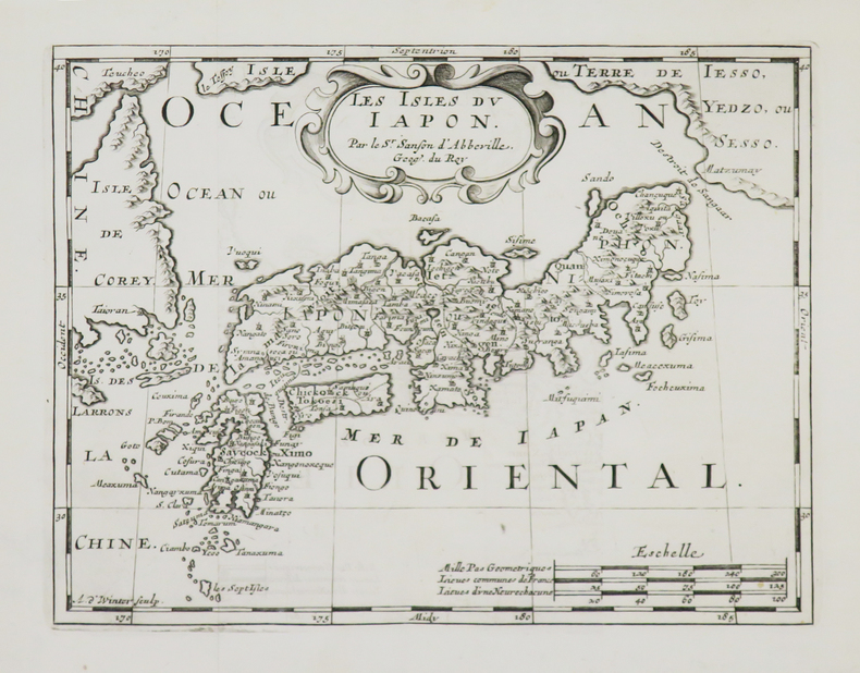
1680LBW-5478[Paris, circa 1680]. 187 x 245 mm.
1650LBW-4944Paris, chez l'auteur et chez Pierre Mariette, 1650. 393 x 553 mm.
1667LBW-3266Paris, Pierre Mariette, 1667. 422 x 554 mm.
1683LBW-7051683. 189 x 265 mm.
1655LBW-7677Paris, Pierre Mariette, 1655. 342 x 547 mm.
1652LBW-656Paris, Pierre Mariette, 1652. 404 x 533 mm.
1700LBW-4948[1700]. 185 x 239 mm.
1652LBW041961652. 188 x 251 mm.
1632LBW-1373[Paris, Melchior Tavernier, 1632-1637]. 412 x 532 mm.
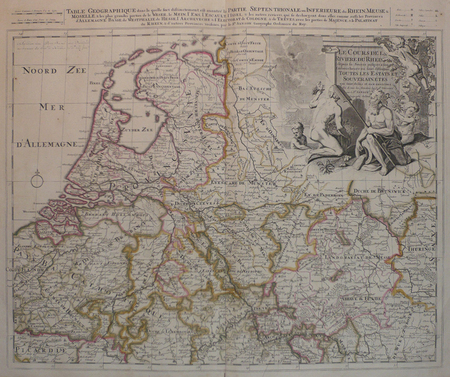
LBW0416fAmsterdam, Pierre Schenk, [circa 1700]. 472 x 575 mm.
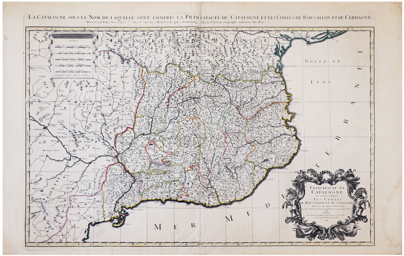
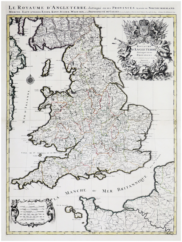
1691LBW-3673Paris, H. Jaillot, 1691. En deux feuilles jointes de 573 x 884 mm.
1696LBW-6394Paris, H. Jaillot, 1696. En deux feuilles jointes formant une carte de 565 x 868 mm.
1693LBW-6390Paris, H. Jaillot, 1693. En deux feuilles jointes formant une carte de 785 x 584 mm.
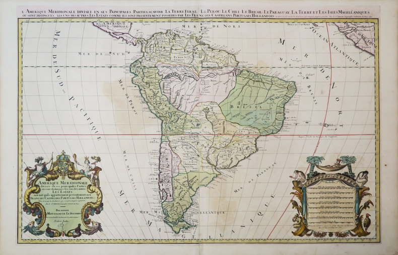
LBW04176Amsterdam, Covens et Mortier, [circa 1710]. 580 x 445 mm.
1720LBW-464Amsterdam, J. Covens et C. Mortier, [circa 1720]. 400 x 501 mm.
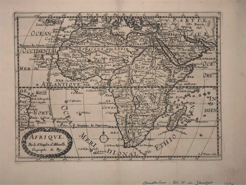
1734PHO-417Afrique par Sanson d’Abbeville (XVIIIe). 27,5 x 19,5 cm. Gravure sur cuivre publié dans; "Atlas Portatif composé de CCLXXXV cartes (...) Edité par Henri du Sauzet. Amsterdam 1734
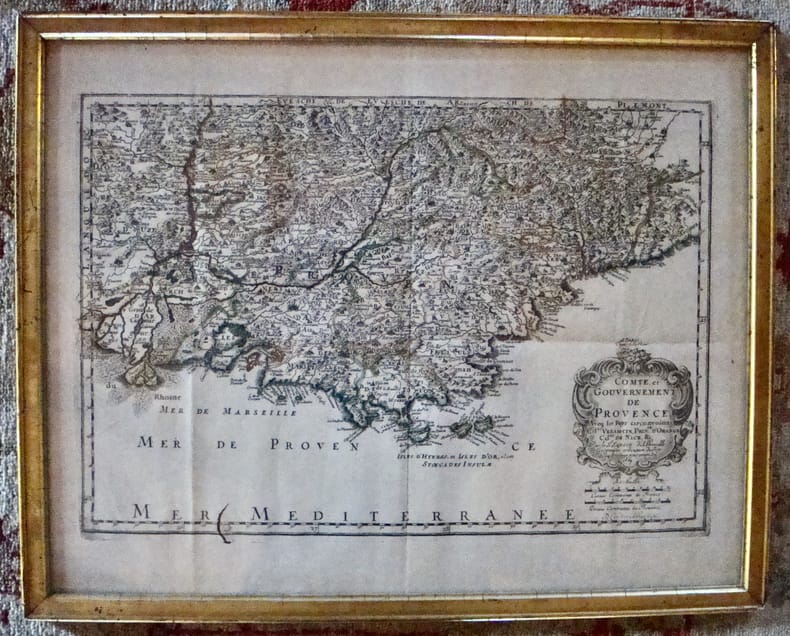
16697613À Paris chez l'autheur. Encadré Très bon Paris 1669 1669 44 x 55 cm avec son cadre ancien.
165124777Paris: N. Sanson & P. Mariette 1651. Copper-engraved map with original outline colour. The rare second state of this highly important map of North America by the founder of the French School of cartography.<br/> <br/>This very rare map is the most geographically progressive portrayal of the continent made at its time and was not superseded until Vincenzo Maria Coronelli's map of 1688. Importantly it is the first map to depict the Great Lakes in a recognizable form and the first to name Lake Ontario and Lake Superior. In his rendering of the region Sanson benefited from having received a copy of The Jesuit Relations published in Paris in 1649 a detailed account by French missionaries who had traveled in the region. Most notably this included Father Paul Ragueneau's account of his visit to Niagara Falls and Jean Nicollet's discovery of Lake Michigan "Lac des Puans" in 1634. Down the St. Lawrence River from the lakes Montréal is named the settlement having been founded by the Sieur de Maisonneuve in 1642. Elsewhere to the north a mysterious strait weaves over "New South Wales" on Hudson's Bay terminating in the interior of the continent a blank space labeled as "Mer Glaciale". This alludes to the existence of a much hoped-for Northwest Passage. On the eastern seaboard the map notes "Nouvelle Amsterdam" in the place of present day New York and is the first printed map to label "Nouvelle Suede" referring to the Swedish colony centered on Fort Christina founded on the site of present-day Wilmington Delaware in 1638. To the far southwest Sanson based his depiction on the Father Alonso Benavides Memorial a travel account of New Mexico published in Madrid in 1630. It is the first printed map to label "Santa Fe" which is incorrectly shown to be on the banks of the Rio Grande and the domains of various native tribes such as the "Apache" "Navajo" and the "Taosij" Taos. To the west California is shown as a large island and features some of the same nomenclature as found on Johannes de Laet's map of 1630. A striking aspect of the map is the sinusoidal projection employed by Sanson that essentially places the globe on an elliptical graticule creating a very pleasing aesthetic. The composition is finished by an extremely elegant Baroque title cartouche featuring swags of fruit and vegetation. Nicholas Sanson was born in the town of Abbeville in Picardy. Something of a child prodigy by the age of eighteen he could already be found in Paris drafting his own maps. There he quickly rose to become Royal Geographer to Louis XIII in 1630. He maintained the position upon the ascension of the "Sun King" Louis XIV in 1643 and later served as tutor to the ambitious young monarch. In 1644 he formed a lucrative partnership with Paris publisher Pierre Mariette with the objective of producing a great atlas that could rival those of the Amsterdam houses such as Blaeu and Jansson. The present map was devised as one of the most important maps in the atlas. The first state of the map was printed in 1650 and the present second state appeared a year later. The atlas itself entitled Les Cartes Générales de toutes les parties du Monde was not finally assembled until 1658. It was however a landmark moment in the history of French cartography being the first folio atlas produced in that country. The extremely high quality of Sanson's work motivated other French mapmakers to improve the standard of their production. Sanson also greatly influenced Louis XIV's chief minister Jean-Baptisite Colbert to heavily fund cartographic projects. This gave rise to a great French School of cartography that was to eventually wrest dominance of the mapmaking market from the Dutch by the 1680s. After Sanson's death in 1667 his work was continued by his sons Guillaume d.1703 and Adrian d.1708. The first state of this map is extremely rare with Burden citing but two copies in private American collections. This second state is also quite rare and can be recognized by addition of a coastline north west of California but with Lake Ontario unshaded and with the appearance of a river system. "With his 1650 Map of North America Sanson had introduced a great deal of information concerning the nomenclature of American Indians with words such as Apache and Navajo appearing on printed maps for the first time. He was also the first cartographer to show Santa Fe as the capital of New Mexico . an extraordinary document of the cultural and geographical resources known in the centers of learning in Europe" Martin & Martin.<br/> <br/>Burden The Mapping of North America I 294 state 3; Leighly California as an Island p.33 pl.7; McLaughlin The Mapping of California as an Island 12; Pastoreau Les Atlas Français XVIe-XVIIe Siècles p.387-9; Wagner The Cartography of the Northwest Coast of America to the Year 1800 360 pp.130-2; Wheat Mapping of the Transmississippi West I p.39; cf. Martin & Martin Maps of Texas and the Southwest p. 83 plate 10. N. Sanson & P. Mariette unknown books
165924778Paris: N. Sanson & P. Mariette 1659. Copper-engraved map with original outline colour. The third state of this highly important map of North America by the founder of the French School of cartography.<br/> <br/>This very rare map is the most geographically progressive portrayal of the continent made during its generation and was not superseded until Vincenzo Maria Coronelli's map of 1688. Importantly it is the first map to depict the Great Lakes in a recognizable form and the first to name Lake Ontario and Lake Superior. In his rendering of the region Sanson benefited from having received a copy of The Jesuit Relations published in Paris in 1649 a detailed account by French missionaries who had traveled in the region. Most notably this included Father Paul Ragueneau's account of his visit to Niagara Falls and Jean Nicollet's discovery of Lake Michigan "Lac des Puans" in 1634. Down the St. Lawrence River from the lakes Montréal is named the settlement having been founded by the Sieur de Maisonneuve in 1642. Elsewhere to the north a mysterious strait weaves over "New South Wales" on Hudson's Bay terminating in the interior of the continent a blank space labeled as "Mer Glaciale". This alludes to the existence of a much hoped-for Northwest Passage. On the eastern seaboard the map notes "Nouvelle Amsterdam" in the place of present day New York and is the first printed map to label "Nouvelle Suede" referring to the Swedish colony centered on Fort Christina founded on the site of present-day Wilmington Delaware in 1638. To the far southwest Sanson based his depiction on the Father Alonso Benavides Memorial a travel account of New Mexico published in Madrid in 1630. It is the first printed map to label "Santa Fe" which is incorrectly shown to be on the banks of the Rio Grande and the domains of various native tribes such as the "Apache" "Navajo" and the "Taosij" Taos. To the west California is shown as a large island and features some of the same nomenclature as found on Johannes de Laet's map of 1630. To the north an entirely unknown realm is named "Conibas" a mythical land that lay between North America and Asia. A striking aspect of the map is the sinusoidal projection employed by Sanson that essentially places the globe on an elliptical graticule creating a very pleasing aesthetic. The composition is finished by an extremely elegant Baroque title cartouche featuring swags of fruit and vegetation. Nicholas Sanson was born in the town of Abbeville in Picardy. Something of a child prodigy by the age of eighteen he could already be found in Paris drafting his own maps. There he quickly rose to become Royal Geographer to Louis XIII in 1630. He maintained the position upon the ascension of the "Sun King" Louis XIV in 1643 and later served as tutor to the ambitious young monarch. In 1644 he formed a lucrative partnership with Paris publisher Pierre Mariette with the objective of producing a great atlas that could rival those of the Amsterdam houses such as Blaeu and Jansson. The present map was devised as one of the most important maps in the atlas. The first state of the map was printed in 1650 a second state appeared a year later and the third state in 1659. The atlas itself entitled Les Cartes Générales de toutes les parties du Monde was not finally assembled until 1658. It was however a landmark moment in the history of French cartography being the first folio atlas produced in that country. The extremely high quality of Sanson's work motivated other French mapmakers to improve the standard of their production. Sanson also greatly influenced Louis XIV's chief minister Jean-Baptisite Colbert to heavily fund cartographic projects. This gave rise to a great 'French School' of cartography that was to eventually wrest dominance of the mapmaking market from the Dutch by the 1680s. After Sanson's death in 1667 his work was continued by his sons Guillaume d.1703 and Adrian d.1708. The first state of this map is extremely rare with Philip Burden citing only two copies in private American collections; this third state can be recognized by the addition of hachuring around Lake Ontario.<br/> <br/>Burden The Mapping of North America I 294; Leighly California as an Island p.33 pl.7; McLaughlin The Mapping of California as an Island 12; Pastoreau Les Atlas Français XVIe-XVIIe Siècles p.387-9; Wagner The Cartography of the Northwest Coast of America to the Year 1800 360 pp.130-2; Wheat Mapping of the Transmississippi West I p.39. N. Sanson & P. Mariette unknown books
92217Paris Sanson d'Abbeville Nicolas Ca 1660. In ivory mount. Mount size 16 x 13.5 inches 40.5cm x 35cm Engraved size 28cm x 22cm 11 x 8.5 inches In very good condition. Laid Down. Paris Sanson d'Abbeville, Nicolas Ca 1660 unknown
3249Americas: Amsterdam Francois Halma 1705. Copper engraved map of Brazil by N. Sanson from Halma's Algemeene Werelde Beschryving Vol. 3 Black and white; title in Dutch; verso blank; Attractive small map of Brazil; title cartouche surrounded by garland of leaves in centre of country. This map appeared in Algemeene Weereld-Beschryving nae de Rechte Verdeeling der Landschappen Plaetsen Zeeën Rivieren &c. Geographisch Politisch Historisch Chronologisch en Genealogisch a Dutch edition of A. Phérotée de la Croix's Nouvelle Methode Pour Apprendre Facilement la Geographie Universelle which first appeared in 1690. Dark impression; minor dampstain at top of centre fold. Nicolas Sanson d'Abbeville.1600-67 ' father of the French cartography' and founder of the Sanson firm. Atlas ' Cartes générales de toutes les parties du Monde' 1658-70 and a pocket atlas in 4 parts 1652-1705. Sanson's small maps from A. Phérotée de la Croix's Nouvelle Methode Pour Apprendre Facilement la Geographie Universelle. first published in 1652 and engraved by A. Peyrounin were copied several times by various map publishers. Johann David Zunners made copies of Sanson's maps for his German translation of Die Gantze Erd-Kugel in 1679. Johannes Ribbius and Simon de Vries published copies in 1682 and 1683 with new maps engraved by Antoine d'Winter. The plates were later sold to Francois Halma who used them in 1699 and then again in 1705 with the titles re-engraved in Dutch. François Halma 1653 - 1722 Dutch publisher/printer; dealer/auction house. Cartographer and publisher of maps active in Utrecht Amsterdam Franeker and Leeuwarden. Published 'Description de l'Univers' 1700; 'Algemene Wereldtbescrijving' 1705; 'Corpus Inscriptionum' 1707 and 'Lexicon Philosophicum' 1713. Keoman: Hal 1; Phillips 528. Americas South America Brazil Amsterdam Francois Halma 1705 unknown
3239Americas: Amsterdam Francois Halma 1705. Copper engraved map of Canada by N. Sanson from Halma's Algemeene Werelde Beschryving Vol. 3 Black and white; title in Dutch; verso blank; strapwork title cartouche. Attractive small map of Canada and the Great Lakes a reduced version of one of the most influential seventeenth century maps of the French and English colonies in North America. It concentrates on the region of greatest French interest. The entire Great Lakes basin and the St. Lawrence River are shown in great detail. The most important aspect of the map is the first appearance of L. Erie ou du Chat as a recognizable lake on an atlas map. This delineation influenced the cartography of the region for more than 100 years and was not superceded until Delisle's "Carte du Canada" in 1703. The map is also an outstanding source for Indian tribal names and locations. Two names:Aouentsiouaeron and Attiouandarons appear here for the first time. Lake Superior and Michigan Lac du Puans are left open-end to the west. Embellished with a nice title cartouche and engraved by Anthoine d'Winter. This is the third state. Published in Francois Halma's Dutch edition of A. Pherotee de la Croix's Nouvelle Methode Pour Apprendre facilement la Geographie Universelle. Dark impression; dampstaining to lower margin just entering plate; centrefold and 2 further folds to fit in binding. Nicolas Sanson d'Abbeville.1600-67 ' father of the French cartography' and founder of the Sanson firm. Atlas ' Cartes générales de toutes les parties du Monde' 1658-70 and a pocket atlas in 4 parts 1652-1705. Sanson's small maps from A. Phérotée de la Croix's Nouvelle Methode Pour Apprendre Facilement la Geographie Universelle. first published in 1652 and engraved by A. Peyrounin were copied several times by various map publishers. Johann David Zunners made copies of Sanson's maps for his German translation of Die Gantze Erd-Kugel in 1679. Johannes Ribbius and Simon de Vries published copies in 1682 and 1683 with new maps engraved by Antoine d'Winter. The plates were later sold to Francois Halma who used them in 1699 and then again in 1705 with the titles re-engraved in Dutch. François Halma 1653 - 1722 Dutch publisher/printer; dealer/auction house. Cartographer and publisher of maps active in Utrecht Amsterdam Franeker and Leeuwarden. Published 'Description de l'Univers' 1700; 'Algemene Wereldtbescrijving' 1705; 'Corpus Inscriptionum' 1707 and 'Lexicon Philosophicum' 1713. Keoman: Hal 1; Phillips 528; Burden #575; Kershaw #138; McCorkle #683.5. Americas Canada Great Lakes New France Niew Vrankryk Amsterdam Francois Halma 1705 unknown