946 résultats
2014x-0520283252Univ of California Pr 2014. Paperback. New. 256 pages. 9.25x6.25x0.50 inches. Univ of California Pr paperback
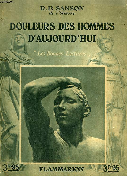
1934ROD0037370Flammarion. 1934. In-8. Broché. Bon état, Couv. convenable, Dos satisfaisant, Intérieur frais. 95 pp., 12 illustrations hors texte en héliogravure.. . . . Classification Dewey : 140-Les divers systèmes philosophiques
R150073253FLAMMARION .. 1934.. In-8. Broché. Etat d'usage, Couv. légèrement passée, Dos satisfaisant, Intérieur acceptable. 95 pages. 1ère de couverture illustrée en noir et blanc. Frontispice illustré en noir et blanc. Nombreuses illustrations en noir et blanc, hors texte.. . . . Classification Dewey : 200-RELIGION
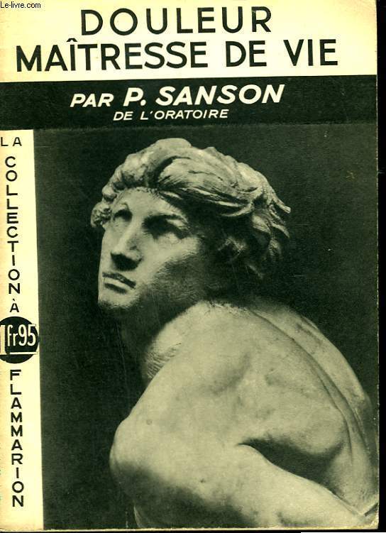
R150073308FLAMMARION .. 1937.. In-12. Broché. Bon état, Couv. légèrement passée, Dos satisfaisant, Intérieur acceptable. 47 pages. 1ère et 4 ème de couverture illustrées en noir et blanc.. . . . Classification Dewey : 300-SCIENCES SOCIALES
1934R150218948FLAMMARION. 1934. In-8. Broché. Etat d'usage, Couv. convenable, Dos frotté, Intérieur frais. 95 pages- quelques illustrations en noir et blanc dans et hors texte. . . . Classification Dewey : 120-Epistémologie, causalité, genre humain
1937R150218972FLAMMARION. 1937. In-8. Broché. Bon état, Couv. convenable, Dos satisfaisant, Intérieur frais. 47 pages- 1er plat illustré en noir et blanc. . . . Classification Dewey : 100-PHILOSOPHIE ET DISCIPLINES CONNEXES
1937108609Couverture souple. Broché. 48 pages.
1658MEE1132Paris:: Chez l'Autheur 1658. 1658. PRINT: 390 x 520 mm. Paper: 457 x 610 mm. Creased cross-ways. Map outlined with original coloring. Excellent condition. First printing of this map. Nicolas Sanson 1600-1667 the "Father of French Cartography" was educated by the Jesuits at Amiens. He was soon recognized as having a gift for map drawing. As such by the age of ten he has produced his first map. "In 1627 he attracted the attention of Richelieu by a map of Gaul which he had constructed or at least begun while only eighteen." "Active from 1627 Sanson issued his first map of importance the "Postes de France" which was published by Melchior Tavernier in 1632. After publishing several general atlases himself he became the associate of Pierre Mariette a publisher of prints." Wikip. In 1630 he was appointed Geographe Ordinaire du Roy by King Louis XIII. As a geographer his most important work was his maps of the world Cartes generales de toutes les parties du monde issued in 1658 with later editions to follow. He died in 1667. Two younger sons Adrien d. 1708 and Guillaume d. 1703 succeeded him as geographers to the king. / Nicolas Sanson's map was issued "by the author" this version and another version where his printer-publisher Pierre Mariette issued the map with his own imprint on the cartouche. Chez l'Autheur, [1658]. unknown
Paris, Flammarion, 1937. Une plaquette de format in 8° de 48 pp. bon état. Peu courant.
1650011592Paris 1650. No Binding. Very Good/No Jacket. R Cordier. 1650 Normanie. Engraved by R Cordier. A fine and detailed province map with the english coast included. All important place names are shown. Original outline colour. very slight discoloration. otherwise good condition. 385 x 515 mm framed and glazed <br/> <br/> unknown
1963RO40158292Le Secrétariat Social d'Alger. 1963. In-8. Broché. Bon état, Couv. convenable, Dos satisfaisant, Intérieur frais. 136 pages.. . . . Classification Dewey : 370-Education
1963RO40029482secretariat social d'alger. 1963. In-8. Broché. Etat passable, Tâchée, Dos abîmé, Intérieur frais. 136 pages.. . . . Classification Dewey : 370-Education
1949014154Cambridge MA: University Press Inc. 1949. Book. Very good condition. Hardcover. First Edition. Octavo 8vo. xxx 474 pages of text. Hardcover binding with minimal shelfwear. Unclipped dustjacket with several chips including a large one at the base of the spine and numerous small tears and creases; protected in archival mylar. Contains 26 black & white illustrations. First edition. Text is in Spanish. Includes a typed letter signed by Alejandro Orfila on Organization of American States letterhead. University Press, Inc. Hardcover books
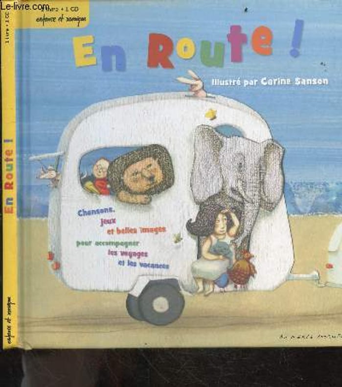
2012RO20254952AU MERLE MOQUEUR / ENFANCE ET MUSIQUE. 2012. In-8. Relié. Bon état, Couv. convenable, Dos satisfaisant, Intérieur frais. Environ 45 pages illustrées en couleur (paroles de chansons + jeux) - CD NON INCLUS. . . . Classification Dewey : 843.0692-Livres d'enfants
170054030Nicolas Bion: L'Usage des Globes. Amsterdam: Francois Halma. 1700. Attractive map of Spain divided into its provinces. Maps by Sanson in original colour are rare. Nicolas Sanson was founder of the French school of mapmakers at a time when the leadership in European cartography passed from the Low Countries to France. This map was published in Brion's treatise on globes. Nicolas Brion was a famous French mathematical and scientific instrument maker. Copper engraving. Fine condition. Original colour. Size: 23.5 x 18 cm. 9½ x 7 inches. unknown
1876905336.Gpaperback. Good. Access codes and supplements are not guaranteed with used items. May be an ex-library book. paperback
169490853Veuve de Jacques Langlois Veuve de R. Chevillon Jacques Langlois | Paris 1694 | 9.5 x 16.5 cm | Relié
1657LBW0418dParis chez l'autheur 1657 191 x 253 mm.
169414621Langlois Paris 1694 1 vol. In-12 de 6 ff.n.ch. 264 pp. 12 ff.n.ch. (table), basane fauve de l'époque, dos lisse frottée, pièce de titre, tranches rouges (épidermures et quelques trous de vers sur la reliure).
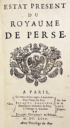
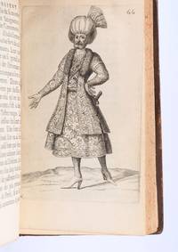
169490853Paris: Veuve de Jacques LangloisVeuve de R. ChevillonJacques Langlois 1694. Fine. Veuve de Jacques Langlois Veuve de R. Chevillon Jacques Langlois Paris 1694 9.5 x 16.5 cm Relié Rare illustrated first edition with 5 copper-engraved plates hors-texte including 2 folding plates cf. Barbier II 302. Schwab 517. Hage Chahine 4320. Wilson 200. Absent from Blackmer and Atabey. Our copy lacks the two dedication leaves to Rouillié often missing with repairs to the joints and one corner and a manuscript ex-libris on the title-page. Contemporary full mottled fawn calf spine with five raised bands gilt and decorated with gilt compartments and floral tools tan calf title-label gilt fillets to the edges partly faded speckled edges. Sanson a zealous apostolic missionary tireless traveller and accomplished diplomat arrived in Persia in 1683 learning Armenian Turkish and Persian while travelling through the kingdom in order to ""consoler les chrétiens qui y habitent"". He took an interest in everything ""murs situation antiquités"" of the regions he crossed and eventually gained access to the Palace ""qui ne sont accordées qu'aux grands seigneurs de Perse"" attending all audiences and taking part in every banquet.</p><p>He spent three years close to Soliman before returning to France bringing Louis XIV a personal message from the ""roi"" of Persia. Provenance: copy from the library of the literary critic Émile Faguet 18471916 with his vignette bookplate pasted to the inside board. Veuve de Jacques LangloisVeuve de R. ChevillonJacques Langlois hardcover
1692001000Paris: Chez H. Jaillot 1692. First edition thus. Map. Good/No jacket as issued. Large double page copper engraved map 23" x 34 1/2". Contains wide margins and a decorative cartouche. Hand-colored boundaries and cartouche. General age-toning with minor browning. Nicely framed in modern rope effected matte gold frame 32" x 42" with gilt bordered white mat and acrylic glaze. A good copy of this scarce map. All text in French Printed just 9 years after the Ottomans besieged Vienna. Extra shipping may apply for foreign orders. Chez H. Jaillot unknown
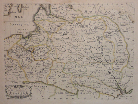
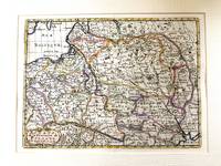
1683M11172Paris c.1683. Very Good. Notes: French map showing Poland and the surrounding region.<br>Nicolas Sanson 1600–1667 was a renowned French cartographer termed by some as the "father of French cartography." His works are known for their incorporation of the most up to date information of the time and their clean modern style. Size : 188x256 mm 7.40x10.08 Inches Coloring: Hand Colored Category: Maps Europe Poland Lithuania; unknown
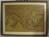
1720M8856Amsterdam: Pierre Mortier 1720. Very Good. Notes: A fine large scale map of Mediterranean Sea Italy Greece Eastern Europe Turkey. The map depicts the Ottoman Empire in the mid to late seventeenth century. Size : 530x864 mm 20.87x34.02 Inches Coloring: Original Hand Coloring Category: Maps Europe Balkans; Maps Mediterranean Sea; Maps Europe Italy; Maps Europe Greece Macedonia; Maps Asia Near East Turkey; Pierre Mortier unknown
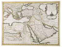
1654G1ADV7RKD7B6Paris 1654. Engraved map 42 x 56 cm coloured in outline. Map of the Turkish Empire showing Ottoman possessions in the Balkans Eastern Mediterranean Egypt and Arabia - marking topography and settlements.l Al Ankary 59; Al-Qasimi 60; Tibbetts 99. unknown
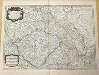
1785M10271Paris c.1785. Very Good. Size : 470x658 mm 18.50x25.91 Inches Coloring: Original Outline Coloring Category: Maps Europe Czech Republic Slovakia; Maps Europe Germany; unknown