SANSON d'ABBEVILLE (Nicolas).Livre Rare Book
946 résultats
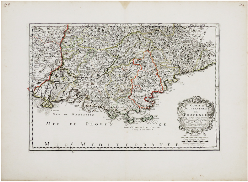
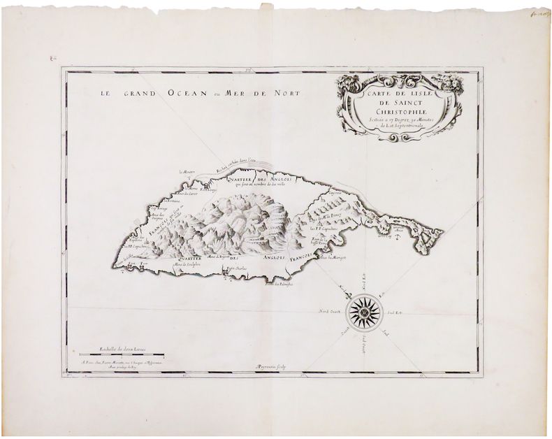
1653LBW-3420Paris, Pierre Mariette, 1653. 420 x 525 mm.
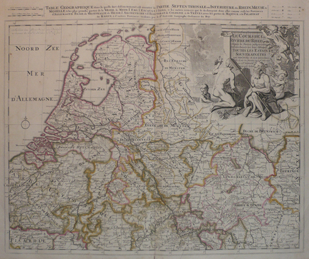
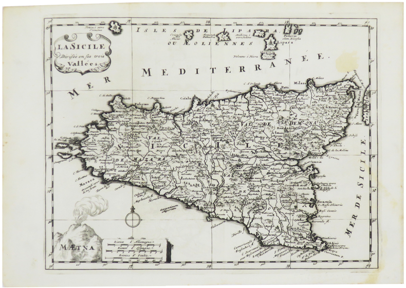
LBW0416fAmsterdam, Pierre Schenk, [circa 1700]. 472 x 575 mm.
1652LBW0418a1652 192 x 242 mm.
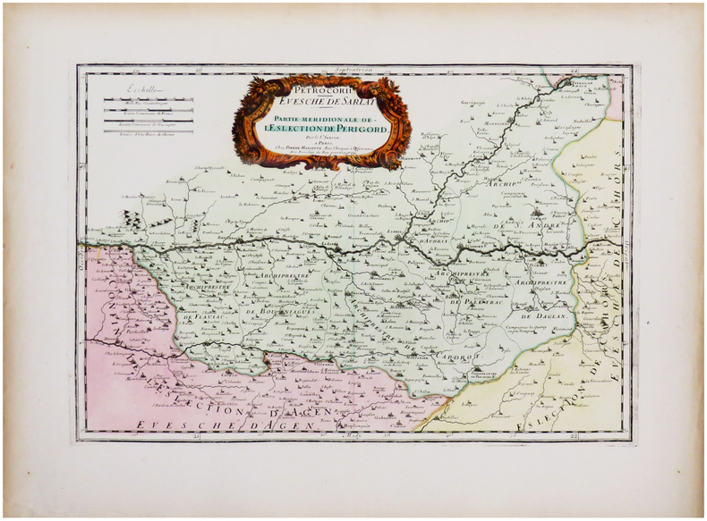
1651LBW-3628Paris, Pierre Mariette, 1651. 386 x 521 mm.
1658LBW-51971652 [1658]. 313 x 457 mm.
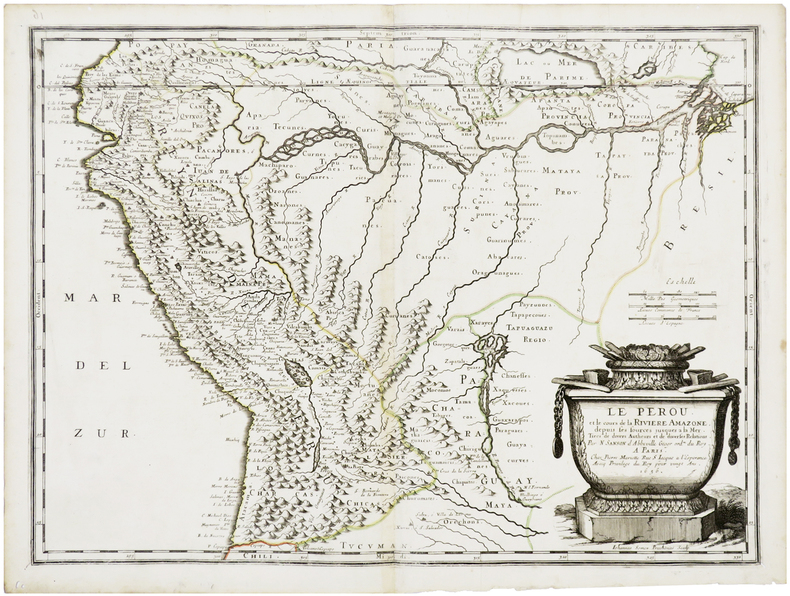
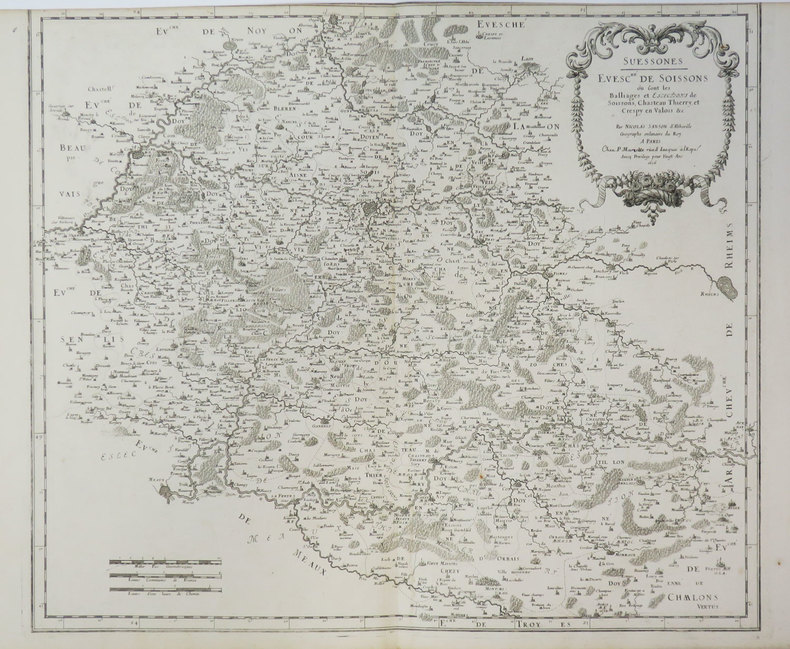
1656LBW-6504Paris, Pierre Mariette, 1656. 402 x 545 mm.
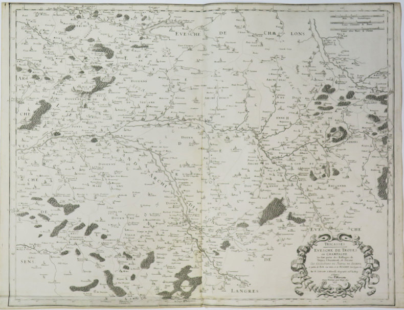
1659LBW-3663Paris, chez l'auteur, 1659. 362 x 530 mm.
1632LBW-1373[Paris, Melchior Tavernier, 1632-1637]. 412 x 532 mm.
1670LBW-606Paris, Pierre Mariette, [1670]. 308 x 424 mm.
1676LBW-7221Paris, Pierre Mariette, 1676. 327 x 475 mm.
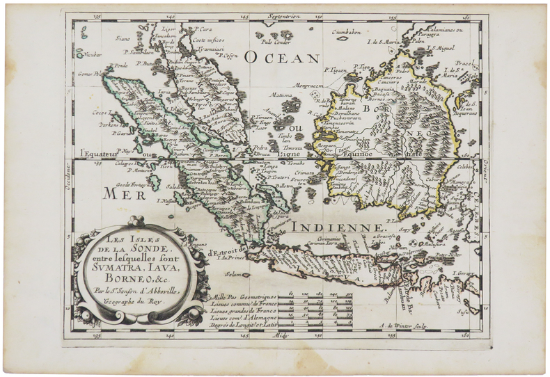
1700LBW-5427[1700]. 202 x 266 mm.
1656LBW-3411Paris, P. Mariette, 1656. 415 x 485 mm.
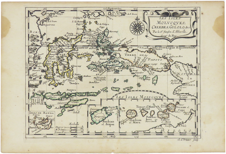
1660LBW-5437[circa 1660]. 195 x 247 mm.
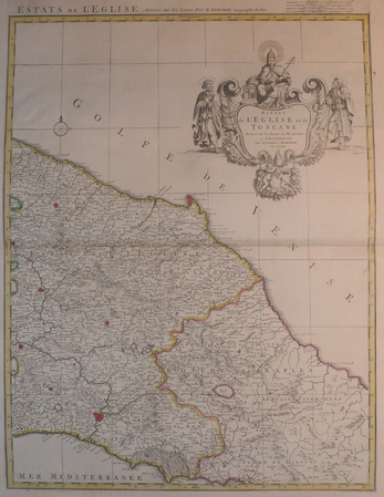
LBW04176Amsterdam, Covens et Mortier, [circa 1710]. 580 x 445 mm.
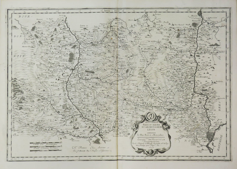
1656LBW-3638Paris, P. Mariette, 1656. 430 x 544 mm.
1680LBW-5478[Paris, circa 1680]. 187 x 245 mm.
0786649941.Gpaperback. Good. Access codes and supplements are not guaranteed with used items. May be an ex-library book. paperback
201512211New Zealand 2015. 2nd Edition . Soft cover. As New. 8vo - over 7¾ - 9¾" tall. 264 pages with b/w and colour photos. Paperback. <br/> <br/> paperback
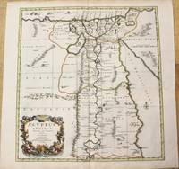
1696M10206Amsterdam: Covens & Mortier c.1696. Very Good. Size : 485x450 mm 19.09x17.72 Inches Coloring: Hand Colored Category: Maps Africa North Egypt; Covens & Mortier unknown
19541440<p>Aerovoz revista mensual organo oficial de la federacion aerea nacional de cuba director calixto sanchez white 4 anos desde enero de 1954 hasta junio de 1957 director macario fernandez coleccion en 2 volumenes.en muy buen estadorevista ilustrada.es una revista muy rara sobre la aviacion cubana de la republica.con interesantes articulos y resenas historicas y de la actualidad.</p> Talleres editorial puga,guanabacoa hardcover
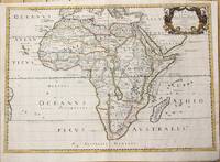
1650M6678Paris: Pierre Mariette c. 1650. Very Good;. Notes: Title cartouche bordered by two outward-facing birds of prey.<br><br>Norwich writes: "This is an early Sanson map. An odd feature is the name Barditus Mons given to a long chain of mountains running continuously from somewhere in Angolato Algoa Bay. No place names appear even on the coast of the southern part of the continent which is labelled 'Agi Symba' a name usually referring to the northern African region and inhabitants are 'Anthropophagi Aethiopes' or cannibals." Size : 396x553 mm 15.59x21.77 Inches Coloring: Hand Colored Reference: Norwich's Map 35. Category: Maps Africa Continent; Pierre Mariette unknown
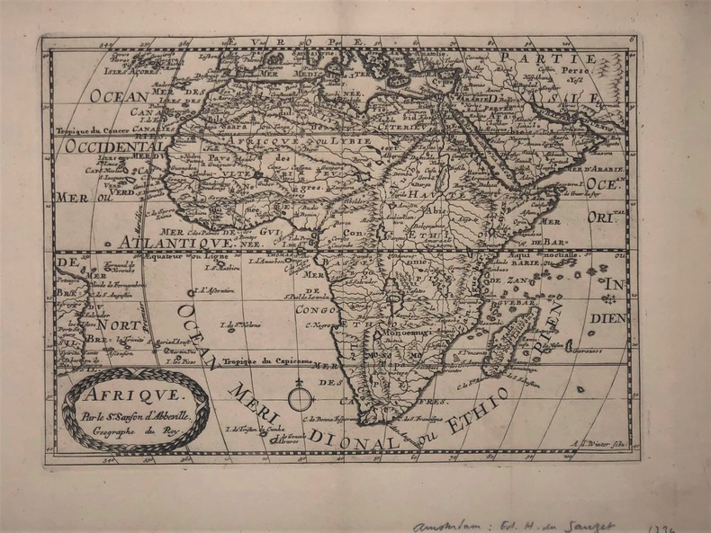
1734PHO-417Afrique par Sanson d’Abbeville (XVIIIe). 27,5 x 19,5 cm. Gravure sur cuivre publié dans; "Atlas Portatif composé de CCLXXXV cartes (...) Edité par Henri du Sauzet. Amsterdam 1734
1892R320041470LIBRAIRIE AGRICOLE DE LA MAISON RUSTIQUE. 1892. In-12. Broché. Etat d'usage, Couv. légèrement passée, Dos satisfaisant, Intérieur acceptable. 172 pages - Renfort adhésif en coiffes en tete et pied.. . . . Classification Dewey : 636.089-Art vétérinaire
1892RO80034277LA MAISON RUSTIQUE. 2ème édition. 1892. In-12. Broché. Bon état, Couv. légèrement passée, Dos satisfaisant, Intérieur frais. 170 pages.. . . . Classification Dewey : 590-Zoologie
170054035Amsterdam: 1700. Map of Germany divided into regions which at the time extended over much of the Low Countries. Maps by Sanson in original colour are rare. Nicolas Sanson was founder of the French school of mapmakers at a time when the leadership in European cartography passed from the Low Countries to France. This map was published in Brion's treatise on globes. Nicolas Brion was a famous French mathematical and scientific instrument maker. L'Usage des Globes. Copper engraving. Fine condition. Original colour. Size: 23.5 x 18.5 cm. unknown