Ozanam, Jean-Antoine-FrancoisBiblio.com

769 résultats
2011332575.Gpaperback. Good. Access codes and supplements are not guaranteed with used items. May be an ex-library book. paperback
2011332613.Gpaperback. Good. Access codes and supplements are not guaranteed with used items. May be an ex-library book. paperback
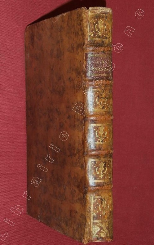
86694Chez Claude Jombert, 1720, 1 volume de 125x200 mm environ, (1) f., (7) ff. (titre, préface, table), 108 pages suivies de 36 planches dépliantes, reliure plein veau marbré fauve, dos à nerfs portant titres doré sur pièce de titre bordeaux, orné de caissons à motifs dorés, gardes marbrées, tranches rouges. Coiffes manquantes, coins émoussés, quelques rousseurs, petite mouillure sur la page de titre, sinon bon état.
18353Paris, Estienne Michallet, 1688.
174618571746 Chez Charles-Antoine Jombert, Paris, 1746. In-8, reliure de conservation de Christopher Clarkson en vélin blanc, avec lanières. 8 feuillets, 182 pages, 1 feuillet. 30 planches gravées dépliantes. Tirée du "Cours de Mathématique"
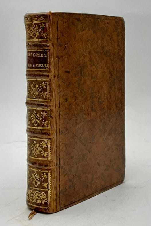
173692343Paris, Jombert, 1736, in-12, [8]-308-[20] pp, 8 pl, Veau marbré de l'époque, dos à nerfs orné, pièce de titre rouge, Figures dans le texte. Nouvelle édition de l'un des tout premiers ouvrages d'Ozanam (1640-1718), publié pour la première fois en 1684 et maintes fois réédité. L'auteur des célèbres Récréations mathématiques présente ici un traité de géométrie pratique traditionnel, dans lequel il démontre sa grande connaissance de la géométrie des anciens. L'ouvrage est organisé de manière classique par problème, en tenant compte de la division entre longimétrie, planimétrie et stéréométrie. Bel exemplaire. Mouillure claire dans l'angle des derniers cahiers. DSB X, p. 264. Couverture rigide
178174696Chez Alex. Jombert le jeune 1781 In-12, plein veau raciné, dos à nerfs orné de filets dorés, pièce de titre maroquin rouge, VI- 494 pp., XVIII planches repliées in fine. Reliure frottée, mouillure angulaire sur les 6 premières pages, intérieur assez frais.
174193006Paris, C.A. Jombert, 1741, in-8, 4 vol, Basane maroquinée verte, roulette sur les plats, dos à nerfs très orné, titre dorés, doublure et garde de papier à damiers dorés. Reliure de l'époque, Avec un traité des horloges élémentaires. Nouvelle édition illustrée de 136 pl. dépliantes h.t. gravées sur cuivre représentant différentes expériences, certaines avec les instruments et appareils pour les réaliser. Cette nouvelle édition est considérablement augmentée depuis la première parue en 1694 (2 volumes et 84 planches). Ce grand classique est toujours très recherché. Une bonne partie du premier volume est consacrée à la théorie des nombres qu'Ozanam connaissait parfaitement. Le traité des horloges est une traduction de celui de l'italien Domenico Martinelli "Horologi elementari", publié à Venise en 1669. T.I: [8] ff+ 460 pp+ [10] ff, avec 32 pl. (la pl. 26 est un fac-simile ancien.) T. II: [2] ff+ 462 pp. + [7] ff. avec 56 pl. (il y a 2 pl. 14, la pl. 23 du cadran universel est un fac-simile ancien.) T. III: [1] f. + 482 + [6] ff. avec 31 planches (il y a 2 pl. chif. 7). T. IV : [4] ff, + 446 pp. + [3] ff. avec 17 pl. Étiquette ex-libris, aux contreplats : Ce livre appartient à M. Touvenot de Sabloniere, conseiller du Roi, Rapporteur & Certificateur des Criées au Châtelet de Paris. (Les étiquettes sont partiellement recouvertes de papier rose ou grattées pour 2 volumes, mais bien lisible au T. IV.) Dos uniformément passés, quelques accrocs aux coins, petite épidermure au dos du T. 2. et sur un plat du T. 3, tache sombre au plat supérieur du Tome 4. Mais très bel exemplaire, richement relié à l'époque. Couverture rigide
175071788À Paris, chez Jacques Rollin, 1750, in-8, 4 volumes, Veau marbré de l'époque, dos à nerfs et fleuronnés, pièces de titre rouges, tomaisons vertes, tranches rouges, 136 planches gravées sur cuivre, certaines dépliantes, représentant différentes expériences, la plupart avec les instruments et appareils pour les réaliser. Nouvelle édition des célèbres Récréations. Ce grand classique, toujours très recherché, du mathématicien Ozanam (1640-1717), a paru à l'origine en 1692. Il contient le Traité des horloges, qui est une traduction de l'ouvrage de Domenico Martinelli : Horologii elementari publié à Venise en 1669. "Cet ouvrage curieux, beaucoup plus ample que ceux qui avaient déjà paru sous le même titre, contient la solution d'une foule de problèmes d'arithmétique, de géométrie, d'optique, de gnomonique, de mécanique, de pyrotechnique, etc." (Quérard). "Il contient la solution d'une quantité de problèmes mathématiques, tours de gobelets, de cartes et d'escamotage, tous décrits avec les perfectionnements désirables pour l'époque" (Ruegg). Une bonne partie du premier volume est consacrée à la théorie des nombres qu'Ozanam connaissait parfaitement. Bel exemplaire. Ruegg, Bibliographie de la prestidigitation française, p. 71-72. Couverture rigide
1778101033A Paris, chez Cl. Ant. Jombert, 1778, in-8, 4 vol, 89 pl, Veau marbré de l'époque, dos à nerfs et fleuronnés, tranches marbrées, Nouvelle édition : elle est attribuée à Jean-Étienne Montucla (1725-1799), qui n'aurait pas voulu se faire connaître et se serait caché sous des initiales qui signifieraient C[hanla] G[éomètre] Forézien, un pseudonyme. Cette édition ne contient pas le Traité des horloges de Domenico Martinelli, qui accompagne les éditions antérieures. Elle est illustrée de planches repliées, gravées sur cuivre, représentant différentes expériences. Frottements, accidents aux coiffes, coins usés; sinon, bon exemplaire. Quérard VI, p. 536. Couverture rigide
1379616379.Ghardcover. Good. Access codes and supplements are not guaranteed with used items. May be an ex-library book. hardcover
44981051like new. unknown
1147540489.Gpaperback. Good. Access codes and supplements are not guaranteed with used items. May be an ex-library book. paperback
101838037X.Gpaperback. Good. Access codes and supplements are not guaranteed with used items. May be an ex-library book. paperback
1171395213.Gpaperback. Good. Access codes and supplements are not guaranteed with used items. May be an ex-library book. paperback
1385757949.Ghardcover. Good. Access codes and supplements are not guaranteed with used items. May be an ex-library book. hardcover
1711765292157 pages 24 numbered plates title page to "A Treatise on Fortification" bound to rear main text has drop heading "Treatise on Geometry" but no title page Printed for John Nicholson hardcover
245013Amsterdam Huguetan 1691. 14 739 pp. Engraved frontispiece. 24 engraved plates. Contemporary half calf. Gilt spine. A little rubbed. Upper joint starting but still holding firm. A little waterstained in upper margin. A few pages with minor tear. Provenence: From Valdemar Caste Tåsinge. . unknown
1104675730.Ghardcover. Good. Access codes and supplements are not guaranteed with used items. May be an ex-library book. hardcover
1165960346.Ghardcover. Good. Access codes and supplements are not guaranteed with used items. May be an ex-library book. hardcover
1020108231.Ghardcover. Good. Access codes and supplements are not guaranteed with used items. May be an ex-library book. hardcover
1104646978.Gpaperback. Good. Access codes and supplements are not guaranteed with used items. May be an ex-library book. paperback
116592384X.Gpaperback. Good. Access codes and supplements are not guaranteed with used items. May be an ex-library book. paperback
17203501Paris: Claude Jombert 1720. Hardcover. Very Good. 276 pp. With 28 engraved folding plates bound at rear. 8vo contemporary tree calf rebacked. Extremities worn; bookplate removed from front pastedown but still a quite nice copy of an attractively illustrated book. <br/><br/> Claude Jombert hardcover
1104941546.Ghardcover. Good. Access codes and supplements are not guaranteed with used items. May be an ex-library book. hardcover