(Beardsley, Aubrey) Jonson, BenBiblio.com
330 résultats
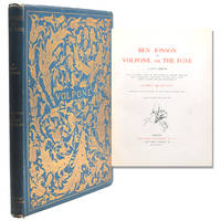
189825244London: Leonard Smithers 1898. No. 22 of 1000 copies on Art Paper. Frontispiece five initial letters and cover designs by Aubrey Beardsley. 1 vols. 4to. Original blue cloth blocked in gilt with Beardsley's designs on upper and lower covers slight cover wear else fine and attractive. No. 22 of 1000 copies on Art Paper. Frontispiece five initial letters and cover designs by Aubrey Beardsley. 1 vols. 4to. Beardsley had intended a series of 24 drawings for Jonson's Venetian comedy but died before completing it at the age of 26. Leonard Smithers unknown
18982783New York: John Lane 1898. First Beardsley Edition copy #393 of 1000 for England and America. Frontispiece Five Large Initial Letters and Vignettes and cover design by Aubrey Beardsley. 1 vols. 4to. Original aquamarine cloth with elaborately gilt-stamped front cover after Beardsley's design. Fine bright copy. Bookplate of Maurice Wertheim. In open faced cloth slipcase. Beardsley Aubrey. First Beardsley Edition copy #393 of 1000 for England and America. Frontispiece Five Large Initial Letters and Vignettes and cover design by Aubrey Beardsley. 1 vols. 4to. One of Beardsley's consummate works published here for the first time after his death. Ross's warm appreciation of Beardsley is an essential piece of Beardsleyana. John Lane unknown
186723914Cincinnati: Ben Pitman 1867. First Edition. 1 vols. Small 4to. Bound in contemp. 1/4 black morocco and cloth. First Edition 1 vols. Small 4to. Inscribed faintly on brown coated paper of the front free-endpaper "Miss Lizzie Headlaw with the affectinate Regards of the Printer. Cincinnati Jany. 1867. Ben Pitman unknown
189396571Partitions sur l'Afrique 1893
189396574Partitions sur l'Afrique 1893
189396567Partitions sur l'Amérique du Nord,Partitions sur l'Afrique 1893
1877100717Vieillot Labbé 1877 approx.
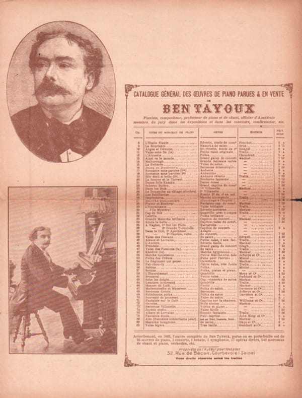
1890110192Propriété de L'Auteur 1890 approx.
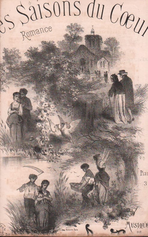
1870105154Tralin 1870 approx.
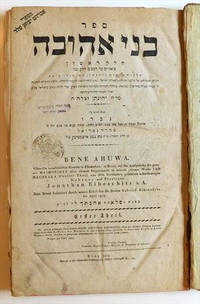
181941334Prag Prague: Gedruckt In D. Schollischen Buchdruckerey 1819. Hardback. 1st edition. 4to period boards 4 82 1 25 leaves aproximately 224 pages. In Hebrew with some German on title page. Vinograd: Prague 1165. StCB: 5867 3; Jewish Museum 179. Contents: helek 1. Hilkhot ishut perek 1-10; helek 2. Hilkhot ishut perek 11-25; helek 3. Hilkhot gerushin. Hilkhot yibum va-halitsah. She'elot u-teshuvot. Maftehot. <br> <br> Novellae to Maimonides of the laws pertaining to women i.e. divorce relationships and marriage by Rabbi Jonathan ben Nathan Nata Eybeschutz 1690/95-1764 the talmudist kabbalist and child prodigy. In his youth after the death of his father he studied in Prossnitz under Rabbi Meir Eisenstadt and Rabbi Eliezer ha-Levi Ettinger his uncle and in Vienna under Rabbi Samson Wertheimer. He married the daughter of Rabbi Isaac Spira the av bet din of Bunzlau. After traveling for some time he settled in Prague in 1715 and in time became head of the yeshivah and a famous preacher. <br> After the death of Rabbi David Oppenheim 1736 he was appointed dayan of Prague. Elected rabbi of Metz in 1741 he subsequently became rabbi of the "Three Communities" Altona Hamburg and Wandsbek in 1750. Both in Metz and in Altona he had many disciples and was considered a great preacher. <br> His position in the Three Communities however was undermined when a dispute broke out concerning his suspected leanings toward Shabbateanism. This controversy accompanied Rabbi Eybeschuetz throughout his life and the quarrel had repercussions in every community from Holland to Poland. His main opponent was Rabbi Jacob Emden also a famous talmudist and a potential rival in the candidature to the rabbinate of the Three Communities.<br> The quarrel developed into a great public dispute which divided the rabbis of the day. While most of the German rabbis opposed Rabbi Eybeschuetz his support came from the rabbis of Poland and Moravia. <br> A fruitless attempt at mediation was made by Rabbi Ezekiel Landau rabbi of Prague. Most of Rabbi Eybeschuetz' own community was loyal to him and confidently accepted his refutation of the charges made by his opponent but dissension reached such a pitch that both sides appealed to the authorities in Hamburg and the government of Denmark for a judicial ruling. The king favored Rabbi Eybeschuetz and ordered new elections which resulted in his reappointment. <br> After his reelection as rabbi of the Three Communities some rabbis of Frankfort Amsterdam and Metz challenged him to appear before them to reply to the suspicions raised against him. Rabbi Eybeschuetz refused and when the matter was brought before the Council of the Four Lands in 1753 the council issued a ruling in his favor. In 1760 the debate was rekindled when some Shabbatean elements were discovered among the students of Rabbi Eybeschuetz' yeshiva. At the same time his youngest son Wolf presented himself as a Shabbatean prophet with the result that the yeshiva was closed. See Bibliography of the Hebrew Book 1470-1960 #000109183; EJ; M. A. Perlmutter R. Yehonatan Eybeschuetz ve-Yahaso la-Shabbeta'ut 1947; Mifal ha-Bibliografyah ha-Ivrit Hoveret le-Dugmah 1964 13-24. <br> <br> SUBJECTS: Marriage Jewish law Divorce Jewish law Husband and wife Jewish law Incest -- Religious aspects -- Judaism. Maimonides Moses 1135-1204. Mishneh Torah -- Commentaries. OCLC: 19167576. <br> Some wear usual light age and damp staining wide margins stamps. Binding starting About Very Good Condition. RAB-66-17-BLRKKQQ-'emn. Prag [Prague]: Gedruckt In D. Schollischen Buchdruckerey unknown
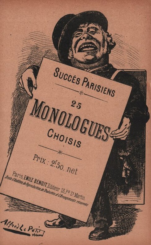
1874104212s.n.l. 1874 In-8 21,5 x 15,5 cm. Reliure éditeur pleine peau havane, dos lisse orné de fers dorés, plats en cadrés de roulette dorée, un faucon orne le premier plat, [108] pp. Exemplaire en très bon état.
180360643Leominster Massachusetts:: by Adams & Wilder for Isaiah Thomas Jun. 1803. old full leather overlaid with an old sheep covering. . Free endpapers lacking front and rear; horizontal tear across the title page repaired with clear tape which has discolored; some moderate staining; binding very worn. 12mo. by Adams & Wilder for Isaiah Thomas, Jun., hardcover
1874003061Wash. D.C.: U.S. Coast Survey Office 1874. Imperial Edition. Map. Very Good. Double Elephant - over 25 - 50" tall. 1st edition thus. 2 large sheets with margins. Each oblong 41.25" x 28". Hand colored. Very Good. Original folds visible. Very Light toning along folds with occasional tiny pin-point holes along some folds. Margins intact with small tears where the map was inserted into the atlas. Beautifully hand colored a Very Good example. Full Title: New York Bay and Harbor New York. From a trigonometrical survey . Survey of the Coast of the United States. Triangulation by J. Ferguson and E. Blunt assistants. Topography by H.L. Whiting S.A. Gilbert A.M. Harrison assts. F.W. Dorr C. Rockwell and J. Mechan sub-assts. Hydrography by the parties under the command of Lieuts. Comdg. R. Wainwright and T.A. Craven U.S.N. assists.This important and desirable fine working nautical chart covers the entirety of New York Bay from Manhattan Island and the jersey Pallisades to Jamaca Bay including the Hudson or North River coast of New Jersey from Staten Island & Perth Amboy to Jersey City and Fort Lee. Includes Governor's Island Ellis and Bedloe's Islands and finely detailed street block plans overall showing both commercial and public buildings wharves and ferries and Central Park comes from the Report of the Superintendent of the U.S. Coast Survey for 1873. It contains recordings of river depth tide tale ocean depths sailing direction road names towns travelers stops streams necks island and farm names. U.S. Coast Survey Office unknown
1872003060Wash. D.C.: U.S. Coast Survey Office 1872. Imperial Edition. Map. Very Good. Double Elephant - over 25 - 50" tall. 1st edition thus. Oblong 41.5" x 35.5". Hand colored. Very Good. Original folds visible. Very Light toning along folds with a few small pinpoint breaks. Margin intact with small tears where the map was inserted into the atlas. Beautifully hand colored a Very Good example. This important and desirable map comes from the Report of the Superintendent of the U.S. Coast Survey for 1874. This nautical chart follows the Massachusetts coastline from Duxbury Bay to Provincetown at the tip of Cape Cod and south as far as Nickerson's Neck. it contains recordings of river depth tide tale ocean depths sailing direction road names towns travelers stops streams necks island and farm names. U.S. Coast Survey Office unknown
1873003033Wash. D.C.: U.S. Coast Survey Office 1873. Imperial Edition. Map. Very Good. Double Elephant - over 25 - 50" tall. 1st edition thus. Oblong 43.5" x 35.25". Hand colored. Very Good. Original folds visible. Very Light toning along a couple folds. Margin intact with small tears where the map was inserted into the atlas. Beautifully hand colored a Very Good example. This important and desirable map comes from the Report of the Superintendent of the U.S. Coast Survey for 1873. It contains recordings of river depth tide tale ocean depths sailing direction road names towns travelers stops streams necks island and farm names. U.S. Coast Survey Office unknown
1874003059Wash. D.C.: U.S. Coast Survey Office 1874. Imperial Edition. Map. Very Good. Double Elephant - over 25 - 50" tall. 1st edition thus. 31.5" x 39". Hand colored. Very Good. Original folds visible. Very Light toning along folds with a few small pinpoint breaks. Margin intact with small tears where the map was inserted into the atlas. Beautifully hand colored a Very Good example. This important and desirable map comes from the Report of the Superintendent of the U.S. Coast Survey for 1874. It contains recordings of river depth tide tale ocean depths sailing direction road names towns travelers stops streams necks island and farm names. U.S. Coast Survey Office unknown
1874003062Wash. D.C.: U.S. Coast Survey Office 1874. Imperial Edition. Map. Very Good. Double Elephant - over 25 - 50" tall. 1st edition thus. Oblong 34.5" x 42". Hand colored. Very Good. Original folds visible. Very Light toning along folds with a few small pinpoint breaks. Margin intact with small tears where the map was inserted into the atlas. Beautifully hand colored a Very Good example. This important and desirable map comes from the Report of the Superintendent of the U.S. Coast Survey for 1874. This nautical chart details the course of the Mississippi River from Quarantine bay southward to where it divides into numerous passes and bays. Names Grand Bay Bird Island Sound West Bay East Bay Garden Island Bay Blind Bay Bull Bay and Bay Rondo. Also offers some inland detail noting Fort Jackson Fort St. Philip various farms several canals numerous bayous and important lighthouses. It contains recordings of river depth tide tale ocean depths sailing direction road names etc. U.S. Coast Survey Office unknown
1874003032Wash. D.C.: U.S. Coast Survey Office 1874. Imperial Edition. Map. Very Good. Double Elephant - over 25 - 50" tall. 1st edition thus. Oblong 34" x 25.25". Hand colored. Very Good. Original folds visible. Very Light toning along folds with a few small pinpoint breaks. Margin intact with small tears where the map was inserted into the atlas. Beautifully hand colored a Very Good example. This important and desirable map comes from the Report of the Superintendent of the U.S. Coast Survey for 1874. It contains recordings of river depth tide tale ocean depths sailing direction road names towns travelers stops streams necks island and farm names. U.S. Coast Survey Office unknown
1871003031Wash. D.C.: U.S. Coast Survey Office 1871. Imperial Edition. Map. Very Good. Double Elephant - over 25 - 50" tall. 1st edition thus. Oblong 27" x 16.75". Hand colored. Very Good. Original folds visible. Very Light toning along folds. Margin intact with small tears where the map was inserted into the atlas. Beautifully hand colored a Very Good example. This map comes from the Report of the Superintendent of the U.S. Coast Survey for 1871. It contains recordings of river depth tide tale ocean depths sailing direction. road names towns travelers stops streams necks island and farm names. U.S. Coast Survey Office unknown
1870003030Wash. D.C.: U.S. Coast Survey Office 1870. Imperial Edition. Map. Very Good. Double Elephant - over 25 - 50" tall. 1st edition thus. 27" x 24.75". Hand colored. Very Good. Original folds visible. Very Light toning along folds. Margin intact with small tears where the map was inserted into the atlas. Beautifully hand colored a Very Good example. This map comes from the Report of the Superintendent of the U.S. Coast Survey for 1870. It contains recordings of river depth tide tale ocean depths sailing direction. road names towns travelers stops streams necks island and farm names. U.S. Coast Survey Office unknown
183056046[Wien, Adolph Kunike], o. J. (um 1830). Lithographie von A. v. Saar nach B. de Ben (Blattgröße ca. 37,5 x 51,5 cm; Ansicht 25 x 35 cm).
183043023[Wien, Adolph Kunike], o. J. (um 1830). Orig.-Lithographie von F. Wolf nach B. de Ben. Blattgröße 31,5 x 38,5 cm; Darstellung 25 x 34 cm.
183056003[Wien, Adolph Kunike], o. J. (um 1830). Lithographie von F. Wolf nach B. de Ben (Blattgröße ca. 37,5 x 51,5 cm; Ansicht 25,3 x 34,3 cm).