Captain James CookBiblio.com
497 résultats
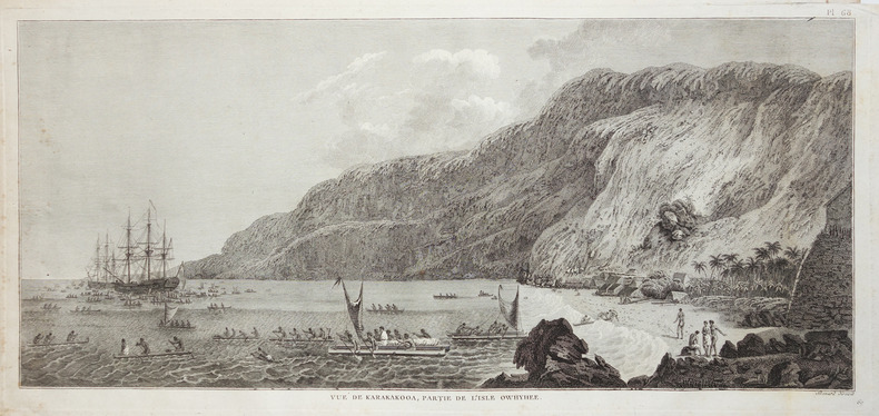
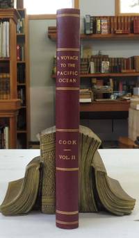
17845956<p>A Voyage to the Pacific Ocean . for making Discoveries in the Northern Hemisphere . performed under the Direction of Captains Cook Clerke and Gore in His Majesty's Ships the Resolution and Discovery; in the Years 1776 1777 1778 1779 and 1780 Captain James Cook. Printed by W. and A. Strahan for G. Nicol and T. Cadell London 1784. Volume 2 only. First Edition. 4to - over 9¾" - 12" tall; 522pp. Text only missing plates. Clean of markings tears or folds. Rebound in half burgundy cloth over marbled boards marbled edges.</p><p>Volume 2 written by Captain James Cook covers the second part of his third voyage 1776–1780 aboard the Resolution and Discovery. It details exploration along the North American coast the Bering Strait and includes the crew's experiences in the Sandwich Islands Hawaii. Full Title: A voyage to the Pacific Ocean. Undertaken by the command of His Majesty for making discoveries in the Northern hemisphere to determine the position and extent of the west side of North America; its distance from Asia; and the practicability of a northern passage to Europe. Performed under the direction of Captain Cook Clerke and Gore in His Majesty's ships the Resolution and Discovery in the years 1776 1777 1778 1779 and 1780.</p> G. Nicol and T. Cadell hardcover
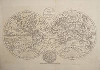
178522400London 1785. Good condition. Copper engraved double hemisphere showing the newly discovered coasts of northwest America and east coast Australia and newly discovered Hawaiian Islands. Vignette at the base of a north Polar view. Cook's routes are shown. One contemporary fold and the thin sheet has been laid down on light board very clean impression. 17 3/4 x 11" unknown
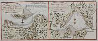
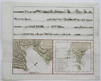
1795M4221Leyden Amsterdam The Hague: Honkoop Allart Van Cleef c. 1795. Very Good. Notes: Two detail maps of the entrance of the Endeavour River and Botany Bay on Australia's east coast visited by James Cook in 1770. Size : 170x355 mm 6.75x14 Inches Coloring: Black & White Category: Maps Pacific; Honkoop, Allart, Van Cleef unknown
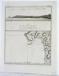
1795M4219Leyden Amsterdam The Hague: Honkoop Allart Van Cleef 1795. Very Good. Notes: A map and view of Adventure Bay. Size : 260x210 mm 10.25x8.25 Inches Coloring: Black & White Category: Maps Pacific; Honkoop, Allart, Van Cleef unknown
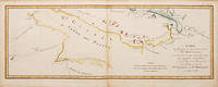
1774782041774. An interesting map with the Island of Papua New Guinea with the discoveries of Captain Carteret. From the French Edition of Cook's Voyages published 1774-1785. Engraved by Robert Benard. Copper engraving. Hand colouring. Sheet size: 260 x 648 mm Plate size: 235 x 625 mm Very good condition. unknown
179257785Erfurt, Georg Adam Keyser, 1792. 8°. Mit 4 Darstellungen auf einer gefalt. Kupfertafel. 16 S., Geheftet (ausgebunden).
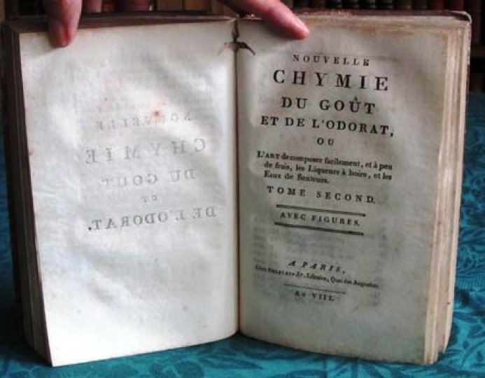
180014104Ou l'art de composer facilement, et à peu de frais, des Liqueurs à boire et les Eaux de Senteurs.Nouvelle édition, entièrement changée, considérablement augmentée et enrichie d'un Procédé nouveau, pour composer des Liqueurs fines, sans eau-de-vie, ni vin, ni esprit de vin, proprement dit ; de plusieurs dissertations intéressantes, et d'une suite d'Observations physiologiques, sur l'usage immodéré des liqueurs fortes. Avec figures.2 tomes en 1 volume.A Paris, chez Delalain Fils An VIII (1800) - LXXXII et 251 - X et 368 pages. Frontispice. 6 planches hors texte. Vignettes de chapitre, bandeaux, culs-de-lampe.Reliure pleine basane fauve de l'époque. Dos à nerfs orné et doré avec pièce de titre rouge. Tampons. Coiffes accidentés, coins émoussés. Épidermures. Un angle un peu dégarni. Pas de rousseur. Assez bon état. Format in-8°(20x13).
1789106300BBFerney, Paris, (Citoyen) Buisson, 1789. Kl.-8°. XII, 332 S., [1] Bl.; [2] Bl., 363, (1) S.; [2] Bl., 296 S., [1] Bl. mit 46 S. Musikbeilagen. Kalbslederbände der Zeit mit goldgepr. Rückensch. u. dekorativer Rückenvergoldung. 3 Bände.
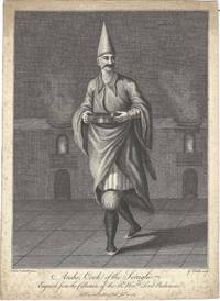
17698810London: no publisher 1769. Engraved plate 27 x 19.6 cm. untrimmed with large margins. "Fran.co Smith pinx. G. Vitalba sculp."; "Publ.d accord.g to Act of Parl.t Jan.y 30 1769". A single plate from a series of Ottoman costume plates and portraits; this issued separately but which would later be published as Costumes of Constantinople alternatively titled Eastern Costume 1768-1769. The portfolio issue contained twenty-eight engravings each numbered in the upper right hand corner this image was "Tav. XII". all after paintings in the collection of Frederick Calvert Baltimore. The painter Francis Smith accompanied Lord Baltimore on a trip to the Levant in 1763-4 and later exhibited his work in London 1768-73. The subject Arshi Cook of the Seraglio was cook to the Turkish Sultan and the Seraglio the sequestered living quarters used by wives and concubines in a Turkish household. The cook is depicted as a tall mustachioed figure made taller by his conical hat. Carrying a dish in his hands he strides away from the flaming stove. The engraving of Smith's painting was done by Giovanni Vitalba whose name appears in the margins of the print. Light foxing and spotting to the print; verso contains one early ink notation and several later pencil annotations. Overall near very good. Rare. Catalogued holdings include the Yale Center for British Art the British Art Center the Gennadius Library and the Qatar National Library. no publisher unknown
1781gnt781London: David Henry; Elizabeth Newbery. G: in good condition without dust jacket. 20th century binding with new eps. Inner hinge cracking. Sporadic foxing browning marking and off-setting from illustrations. Some mispagination. 1781. First Edition. Buff hardback cloth cover. 220mm x 140mm 9" x 6". iv 633pp xv plates. 15 b/w plates 7 fold-out. Includes Captain Cook's Journal. . David Henry; Elizabeth Newbery hardcover
178742879Graz, Joh. G. Weingand u. Franz Ferstl, 1787. Kl.-8°. 1 Bl., 413 S., 4 Bll., Ppbd. d. Zt.
177046404875Paris, Costard, 1770 ; 2 parties en 1 volume petit in-8, cartonnage ancien papier marbré entièrement non rogné. 2 ff., 263 pp. - 2 ff., 262 pp.ÉDITION ORIGINALE EN FRANÇAIS de Farmer’s Calendar du célèbre agronome anglais Arthur Young. La traduction est de Jos. P. FRENAIS. “Ce manuel contient, sans omission, tout ce qu’un fermier doit savoir et doit pratiquer. L’auteur, qui, parlant aux classes instruites dans ses autres écrits, élève de temps le style de ses documents, ne parle ici que la langue des cultivateurs et se met à la portée de tous...” Desprès in Biogr. Univ. de Michaud.Bêtes à cornes, moutons et cochons, mais aussi basse-cour : volailles, dindons, oies, canards, pigeons, outardes, paons, faisans, perdrix, lapins domestiques, viviers pour les poissons, manière de faire le beurre, recettes de fromages (le stilton, le chester, fromage à la crème, à l’oeillet, au souci, à la rose...), culture des plantes fourragères, façon de faire la bière, culture des pommes de terre... Exemplaire à toutes marges dans un modeste cartonnage de l’époque dont le papier marbré ainsi que les pp. de garde ont été renouvelés.
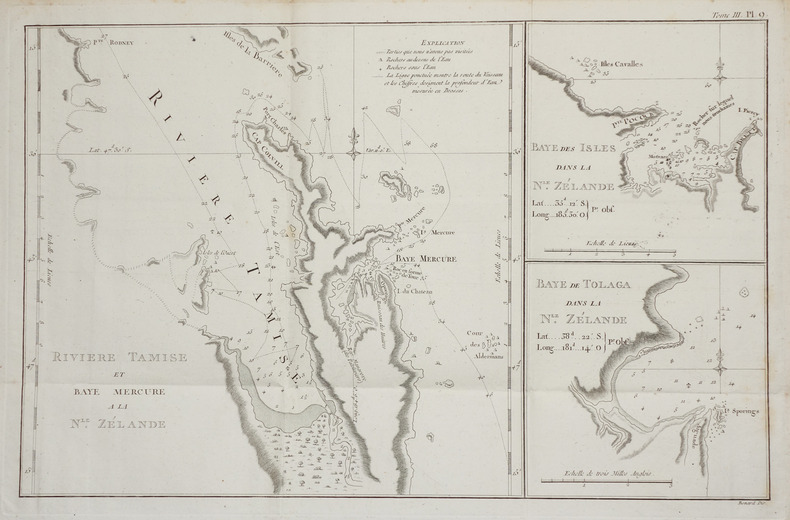
1785LBW-28591785. 230 x 499 mm.
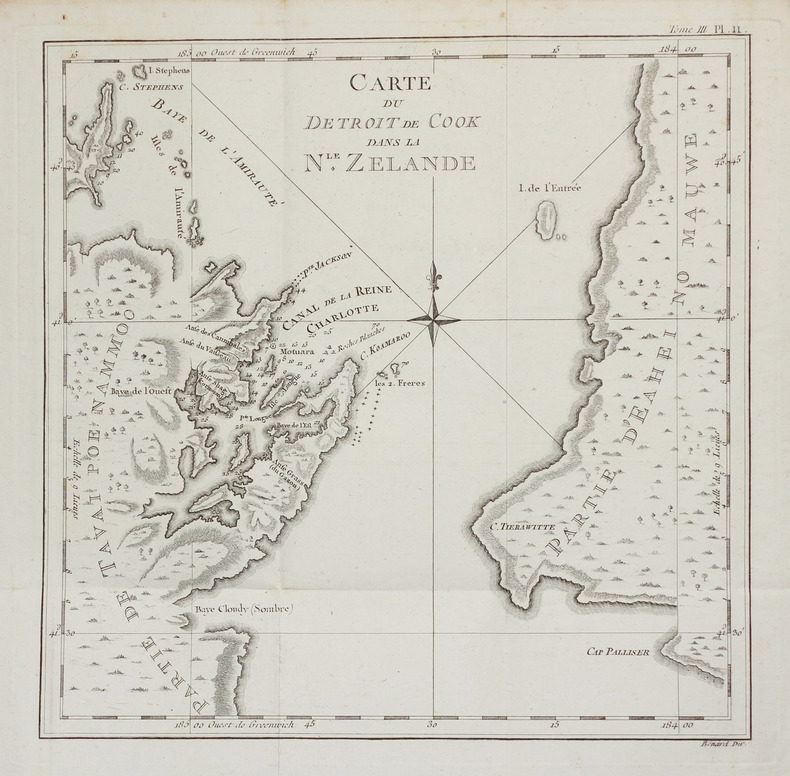
1774LBW-2757[1774]. 270 x 272 mm.
1800901099AG[Wien, um 1800]. Kupferstiche von Jos. Eder, gezeichnet A. Sommer, 16,5 x 27,5 cm, Blattgröße 20 x 30,5 cm.
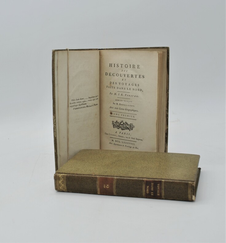
1788PHO-753Paris, Cuchet, 1788. 2 volumes in-8 de xv, 399 pp. ; xii, 410, (2) pp. Cartonnage jaspé, p. de titre et de tom. (reliure de l'époque). Illustré de 3 grandes cartes dépliantes.
177454762Paris: Saillant et Nyon & Panckoucke 1774. An interesting chart of the north-eastern coast of Australia discovered by Cook in 1770 showing the Endeavour River and the Endeavour Strait so named by Cook after his ship was careened and repaired on the banks of the river following grounding on a coral reef offshore the site of present day Cooktown. From an early French edition of Cook's Voyages vol. IV plate 3. Copper engraving. Good condition some offset and a little browning to left of central fold. Later colour. Size: 33 x 29 cm. 13 x 11½ inches. The Printed World III item 165 unknown
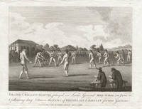
17933401793. Copper-line engraving. 120mm by 155mm platemark. 'Grand Cricket Match played in Lord's Ground Mary-le-bone on June 20th and following day between the Earl's of Winchelsea and darnley for 1000 Guineas.'<br /> Published July 1st 1793 by J Wheble Warwick Square London.The match played between Lord Winchelsea's MCC team with three Hambledon players Beldham Walker and Wells given and Lord Darnley's Kent team was won by Lord Winchelsea's side.Rare 18th century cricket engraving from 'The Sporting Magazine'.Top of platemark trimmed. unknown
177521548Paris 1775. Very good condition. Large detailed copper engraved map of Captain Cook's voyage in the Resolution of New Caledonia and the New Hebrides islands in the south Pacific with the tracks and the dates indicated. From Prevost's "L'Histoire Generale des Voyages".<br /> <br /> Bellin 1703 - 1772 one of the most noted French mapmakers of the 18th century was named the hydrographer chief cartographer to the French Navy and later the Official Hydrographer to the French King.<br /> <br /> Folding 19 x 15 1/4". Strong impression very clean. unknown
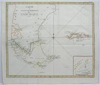
1775M4093Paris 1775. Very Good. Notes: First French edition Capitan cooks voyages Size : 430x520 mm 16.875x20.5 Inches Coloring: Hand Colored in Outline Category: Maps South America Countries; unknown
1785M3179London: G. Nicol and T. Cadell 1785. Very Good. Size : 274x224 mm 10.75x8.875 Inches Coloring: Hand Colored Category: ; Maps Asia Far East China G. Nicol and T. Cadell unknown
1794M4376Leyden Amsterdam The Hauge: Honkoop Allart Van Cleef 1794. Excellent. Size : 315x370 mm 12.375x14.5 Inches Coloring: Hand Colored Category: Maps South America Countries; Honkoop, Allart, Van Cleef unknown
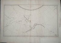
178522397London: G. Nicol and T. Cadell 1785. First printing. Map. Good overall. The classic large map of the Pacific northwest. Copper engraved double page folio map showing Cook's route along the northwest coast and through the Bering Strait. Some replacement of loss in the outer margins of the map not affecting the image. Some old creasing is evident in the plate otherwise good condition. 26 1/2 x 15 1/2 G. Nicol and T. Cadell unknown
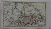
1782M5417Germany 1782. Very Good. Size : 170x295 mm 6.75x11.625 Inches Coloring: Hand Colored in Outline Category: Maps Canada; Maps Canada North; unknown