Nachtigall, HelmutAntiquariat.de

612 résultats
198156180Giessen : Ferber'sche Univ.-Buchh. 1981. 143 S. :174 Abb., davon 12 farb. ; 26 cm, mit Schutzumschlag Pp., gebundene Ausgabe, Hardcover/Pappeinband, Exemplar in sehr gutem Erhaltungszustand
199947577München : HypoVereinsbank Kultur & Gesellschaft, 1999 1999. 63 S. : Ill. Broschiert, Exemplar in gutem Erhaltungszustand
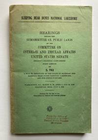
1963356Washington: Goverment Printing Office. Very Good. 1963. Softcover. Transcript of hearings on Senate Bill 792 to establish the Sleeping Bear Dunes National Lakeshore in Western Michigan a 77000 acre park along the Lake Michigan shore. Contains a folding map in front. Original green printed wrappers with black cover lettering. There is a small stamp on lower front wrapper: "From the Office of Philip A. Hart United States Senator Michigan." For many years Phil Hart was a strong advocate for the creation of this National Lakeshore. The spine is sunned however the spine lettering still clear and bright. This is a clean tight and unmarked book. ; Folding Map; 8vo 8" - 9" tall; 435 pages . Goverment Printing Office paperback
19272081002108701063Ministry of Interior 1927. Soft Cover. Fine. Number of pages: 38 Size: B5 Number of books: 1 Ministry of Interior paperback
197545628Essen : Girardet 1975. VII, 479 S. : Ill., zahlr. graph. Darst. ; 30 cm + Beil. (2 Bl. graph. Darst.), mit Schutzumschlag Kunststoffeinband, Exemplar in gutem Erhaltungszustand
199319752Michel Aveline Editeur 1993 In-4, pleine toile noire, sous jaquette illustrée, photographies pleines pages en couleurs,154 pp. Très bon état.
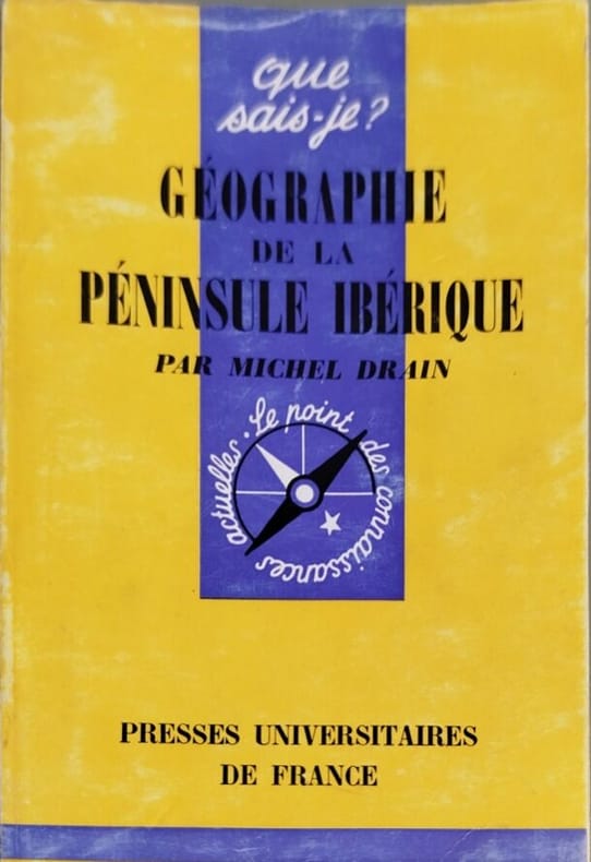
19647398Presses Universitaires de France 1964 collection que sais je n° 1091. poche. 1964. broché. Ouvrage de géographie régionale analysant la péninsule ibérique structuré autour de l'opposition fondamentale entre l'intérieur des terres et ses façades maritimes. L'auteur Michel Drain allie une démarche précise et actualisée avec une prise en compte essentielle du passé pour la compréhension du présent
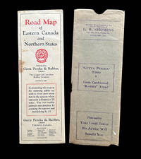
19294801Toronto ON: Gutta Percha & Rubber Limited 1929. Map. Very Good. A fold-out road map by Gutta Percha & Rubber Limited titled "Road Map of Eastern Canada & Northern States" measuring 33 x 15 inches wide and folding to an 11 x 3.75 inch wide brochure for motorists. The original storage sleeve is also present with a compliments ad for the Nova Scotia dealer G.W. Stephens of Tennscape N.S. printed at top. Map is toned with a few fold line tears some brown spots and minor losses near edges ; storage sleeve w. some toning brown spots and loss mostly to bottom edge and verso. Map has "Base Map by Courtesy of Natural Resources Intelligence Service Department of Interior Ottawa Canada" printed at lower right corner. The brochure has 16 US city approach maps & 28 Canadian city approach maps on verso along with advertisements for tires and other pertinent information with the full-sized color map on the other. Gutta Percha & Rubber Limited unknown
198014090Stock 1980 358 pages in-8. 1980. broché. 358 pages. Ce recueil rassemble des notes et réflexions d'élèves de Gurdjieff recueillies entre 1917 et 1931 offrant un aperçu unique de son enseignement spirituel. L'ouvrage présente les paroles du maître visant à éveiller ses contemporains à la nécessité d'un développement intérieur et à la prise de conscience du sens réel de leur existence
199639082Mönchengladbach, Selbstverlag, 1996. 1. Auflage.
19981260401998 Editions Trajectoire - 1998 - In-8 broché, couverture illustrée - 197 pages - Illustrations en couleurs dans le texte
1989MOEB0106aStuttgart, Hatje (1989). 4°. 185 S., 424 Abb., OHLn. mit OUmschlag, sehr gut erhalten. Die maßgebliche Auflage des Standardwerks.
1989MOEB0106Stuttgart, Hatje (1989). 4°. 185 S., 424 Abb., OKart. Gut erhalten, Umschlag mit geringen Lichtspuren u. kleiner Knickfalte. Die maßgebliche Auflage des Standardwerks.
19472083002116205881Geographic Survey Office Ministry of Interior 1947. Soft Cover. Fine. The book is in fine condition. Geographic Survey Office, Ministry of Interior paperback
1933058605Washington D.C.: US Government Printing Office 1933. 1st . Paper Back. Near Fine/No Jacket. 8vo - over 7¾" - 9¾" tall. 42pp.incl.advertfold-out map; SC staple-bound; off-white w/blk.-photocover; slight rub w/cleantight pgs. History & description of Park. Cover photo of 'Mount Rainier from the Tatoosh Range' b/w photos inside covers; color fold-out map in back; color mapcenter of book; b/w map. <br/> <br/> US Government Printing Office unknown
1979016858Barron`s, Woodbury, New York 1979. O.-SU Leinen Tadellos
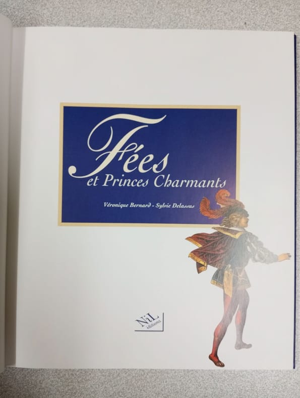
1996500116829Editions Nil 1996 1996. Relié.
1999107406Abbeville Publishing Group, New York, 1999. 29 cm ; Pp.
1956V34176London (Hertfort House) 1956. 8°, Originalbroschur ( Paperback ) 360 S, + 120 Tafeln 1
198052762Frankfurt am Main : Histor. Museum 1980. 23 S. : Ill., graph. Darst. ; 30 cm Broschiert, Exemplar in gutem Erhaltungszustand
19862090202120400783Yumanishobo 1986. Soft Cover. Fine. Number of books: 1 Yumanishobo paperback
1936055476Baghdad: Dangoor's Printing and Publishing House / The Times Press 1936. 1st Edition . Hardcover. Very Good. 4to - over 9¾ - 12" tall. Original grey cloth bdg. 4to. 28 x 20 cm. In English and Arabic. iii 608 278 xxxxxxiii sic.Lxiii p. richly illustrated three maps two folded many separate colors and b/w plates. Fading on the Iraqi flag on the front board slightly worn on the hinges of the spine a stain on the edge overall a very good and bright copy. English edition. Exceedingly rare first and only "Iraq directory" issue as the best reference for early modern Iraq. This superb early 20th-century work on the "complete Iraq" was also published in Arabic and English separately. All published. The best reference in English of modern Iraq prepared by the Ministry of Interior in 1936 including history architecture archaeology military history economy health services jails oil companies engineering press and printing houses ports navigation army government Iraqi flag and social structure of the country in the 1930s containing minorities and ethnic groups with statistics and history. The last chapter titled "the commercial section" is also the best reference for the trade of Iraq at the beginning of the 20th century listing all trade companies with attractive colors and b/w full page and in-text advertisements. This historically significant work gives invaluable insight into the social historical and economical structure of modern Iraq. The book in almanac form which is opening with a preface contains the full page plates of His Majesty King Ghazi I views of Qasr al-Zehoor residential Palace of H.M. the King H.R.M. Amir Faisal Crown Prince of Iraq and His Late Majesty King Faisal I Creator of Modern Iraq photo-engraved in Cairo and Iraq with special permissions of the Court. Then the history of the Iraqi Royal Hashimite Family tree and biographies of the members can be found. Some tables of conversion of years A.H. into years A.D. of Sunrise and Sunsets in 1936 temperatures and eclipses and official holidays with the general calendar of 1936. This important calendar includes the special and historical days like All Saint's Day Occupation of Mosul British Forces Armistice Day Jewish Christian and Islamic feasts etc. next to a general chromo-lithographed map of Iraq. The work gives general information about Iraqi geography and administrative divisions. The next chapter gives a detailed historical account of Iraq to the present day. The government services like medicine transportation courts cabinet army sports etc. are introduced in detail. As the most important two chapters of the work including a richly illustrated account of the ethnic groups inhabitants minorities and religious demography and 'liwas' of the country give invaluable resources to the Iraqi social structure. An interesting additional notice by the new government of the period indicates "When the Iraq Directory for 1936 was still in the press a law was enacted prohibiting the use of titles such as Beg Pasha etc. in Iraq". This gives an insight into the relations of Iraq with the Republic of Turkey in the 1930s. The last chapter titled "the commercial section" contains almost all national and international Iraqi and some European firms in the 1930s trade such as shipping and transportation firms exporters merchants cinemas hotels publishers and manufacturing companies in various sectors is unsurpassed trade reference for the early 20th century Middle Eastern trade especially after the nationalism of Iraqi oil created the Iraq National Oil Company by negotiations took six years and ended with the July 1928 Red Line Agreement with the US and Britain. The maps' titles are "Historical sites in Iraq" "Provisional geological sketch map of Iraq" and "General Map of Iraq". Overall a historically important almanac of modern Iraq as well as the Middle East. Nineteen copies in OCLC 652197259 24979123 269202533. <br/> <br/> Dangoor's Printing and Publishing House / The Times Press hardcover
19971318028White Stone VA: Brandylane Publishers 1997. First Edition. Hardcover. Octavo; pp 129; VG-/no-DJ; dark blue spine with gilt text; cloth shows light sunning to exterior; strong clean boards; text block has some toning to exterior edges; light offset to endpapers; frontispiece; illustrated; interior clean; inscribed by author;. 1318028. FP New Rockville Stock. Brandylane Publishers hardcover books
19748846BBLondon, Heinemann, 1974. gr.8°, 152 S., illustr. original Leineneinband (Hardcover), 3. edition Einband mit minimalen Lagerspuren - sehr gutes Exemplar, (in englischer Sprache) (Bi1 a)
199913421Trajectoire 1999 332 pages 16x24x2cm. 1999. Broché. 332 pages. Ce livre présente une approche occidentalisée et didactique du Feng Shui expliquant les principes de base les outils et les techniques pour aménager son intérieur afin de créer une atmosphère de bien-être et réduire les tensions. Il est écrit par deux praticiens expérimentés et respecte les croyances de chacun