19 résultats
152023231520 15X20, broché à rabats sans le rabat de la 4° de couverture, 238 pages, état correct, 33 photographies noir et blanc de l'auteur -
1552189261552 Broché - 15,5 x 24 - 527 pp - année 1977 - Edition Albin Michel -
155254381552 Broché papier cartonné, très bon état, 155x235, 133 gr, 88 pages, Revue trimestrielle numéro 16, illustrations N&B.
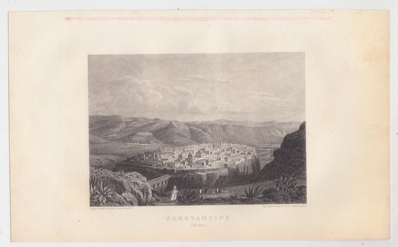
1512262291512 Paris . Dufour , Mulat et Boulanger éditeur / Imprimerie Gilquin et Dupain . Vers 1858 - 27,5 x 18 cm [ 15,5 x 10,5 cm de Gravure ] - gravure sur acier, CONSTANTINE : gravure sur acier Dessin de Léonie Chollet gravé par Samuel Chollet. 15 x 12 cm. bon état
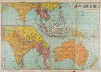
1572159290東京.Tokyo.: 金鈴社. Kinrei-sha. 昭和十八 October 101943. Two maps printed in colour on a single side of a folded sheet. The map titled "Complete Map of India and Australia" shows the region covering Australia southern India western mainland south-east Asia Indonesia the Philippines and New Guinea. The other map titled "India and Burma" shows the region covering India Afghanistan the western section of China Burma and Thailand on the lower left side. New Zealand is in an inset map in the lower right corner. As the note on the cover says "Including the detailed descriptions of the Solomons New Guinea and southern islands" this map shows the theatres of the Pacific War and the surrounding areas. The map indicates agricultural and mineral resources as well as cities roads railways sea routes national borders etc. Cover and publication details printed on two panels on the reverse. Some marking and browning. . 金鈴社. [Kinrei-sha]. unknown
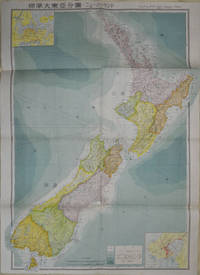
1572154080Tokyo: 統制社Tosei-sha. 昭和18 Showa1943. Folding colour map of New Zealand with inset of Auckland and Wellington top and bottom corners1:2000000 scale little light browning. Original envelope worn with closed tears. 54 x 76.5cm. Good copy. Scale plan of New Zealand printed by Tosei in 1943. The map legend shows infrastructure deemed important to the Land Survey Bureau of the General Staff Headquaters of the Imperial Japanese army such as boundaries powerlines quarries and mines; railroads sea-routes etc. . 統制社(Tosei-sha) unknown
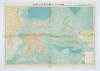
1572160554Tokyo 東京: 統制社Tosei-sha. 昭和 Showa 18. 1943. Colour folding map 54 x 75.5cm with original envelope. Envelope a little torn some occasional browning very good. The 13th map in this Standard Maps of Greater East Asia series of 20 maps. All text in Japanese. Shows railways shipping routes administrative boundaries airfields ports lighthouses mines oil wells etc. . 統制社(Tosei-sha) unknown
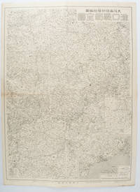
1572172829大阪. Osaka.: 大阪毎日新聞社. Osaka Mainichi Shinbunsha. 昭和 13 1938. Black and white map folded showing Hankow one of the three cities which merged to become Wuhan 54.5 x 49cm scale 1:2000000. Some light browning tiny closed tear upper margin neatly repaired with conservation standard tape. Good copy. This Hankow/Hankou War Situation Map is a supplement map of Osaka Mainichi Newspaper on 25 August 1938. The two inset maps show the region around Nanjing and Hong Kong. It gives detailed place names of Hankow area. . 大阪毎日新聞社. [Osaka Mainichi Shinbunsha]. unknown
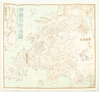
1572171093Qingdao: Taiheiyoko. 太平洋行. 昭和 13 1938. Coloured folding plan of Qingdao in 1938. some browning on reverse with a small lighter section on map Japanese place names no scale 36 x 39cm 3 inset maps. This 1938 Qingdao city map shows street names in Chinese characters and location of Chinese and Japanese public buildings such as the hospital shrines Japanese primary schools and high schools. The 3 inset maps show railway and transport routes as well as outskirts of the city. . [Taiheiyoko]. 太平洋行. unknown
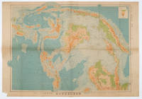
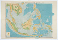
1572160533Tokyo.: 日本名所圖繪社.Nihon Meisho Zuesha. 昭和 17 1942. Folding Japanese coloured map of the Malay Archipelago and Thailand during World War II scale 1:8500000. Legend in lower corner indicates altitudes. Ink annotation in Japanese left edge. Pin holes at three corners upper right corner torn with loss evenly browned otherwise very good. Text in Japanese and English. 52.8 x 75.6cm. This map shows most of Thailand former Indochina Hainan Province and South China Sea Sumatra and Java Sea Borneo the Philippine Islands Celebes Timor New Guinea and parts of Micronesia. Natural resources such as tobacco spices wood sugar metal mines tin iron and etc. rice and other resources are indicated on the map. . 日本名所圖繪社.[Nihon Meisho Zuesha]. unknown
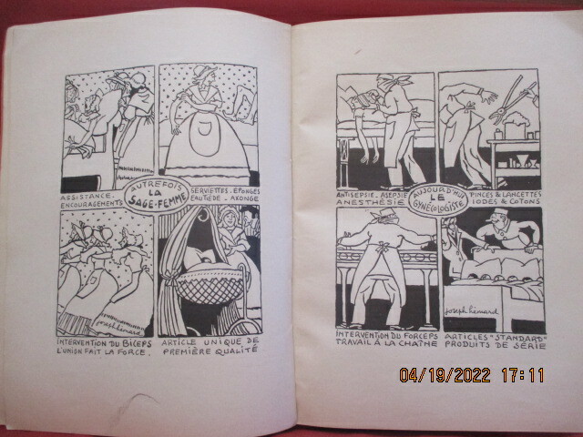
152153871521 Paris - 15/21,5 cm - Nombreuses illustrations en texte -60 pp environ par fascicule - Broché, couverture imprimée - 1 ère Année, 1934, N° 2, 3, 4, 5 & 6 - 1935, 1,2, 3 & 5 - 1936, N° 1, 2, 4, 5 & 6 - 1937, N° 2, 4 & 5 - 1938, N°2 & 3 - 1939, N° 1, 2, 3 & 4 - Bons Exemplaires.- Au Total 24 Numéros - Réf. 5387
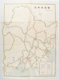
1519172590奉天. Mukuden.: 満鉄鉄道総局. Mantetsu Tetsudo Sokyoku. 昭和 15 1940. Colour folded map seven small very holes not affecting the printed image otherwise good. 53 x 38.5cm Map showing the comprehensive railway network in Manchuria with names of all the stations. It includes the lines run by the South Manchurian Railway Company their temporary industrial lines light rail as well as the lines run by other Russian and Chinese companies. By 1940 the network had expanded so much that it included almost the whole of Manchuria. . 満鉄鉄道総局. [Mantetsu Tetsudo Sokyoku]. unknown
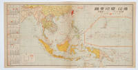
1572160545No place of publication.: 朝日新聞社. The Asahi Shimbun. 昭和十五1940. Published by 朝日新聞社 The Asahi Shimbun Japanese folding coloured WWII map with a calendar from January to June Shōwa 15 at the left scale 1:300000. Map includes French Indochina Dutch East Indies and parts of the territory of Papua China and British India. Some light browning and foxing otherwise very good. Text in Japanese. 25.3 x 51cm. Legend at lower left lists the boundaries between continents countries and provincials or regions railways airline routes capitals and Japanese embassies and consulates. <br> <br>The natural resources are indicated across the map. The map also shows parts of the territory of Papua under Australia's administration " 濠洲委任統治領 Gōshū inin tōchiryō". . 朝日新聞社. [The Asahi Shimbun]. unknown
1572160538東京.Tokyo.: 日本名所圖繪社.Nihon Meisho Zuesha. 昭和16 1941. Folding colour Japanese map of the Malay Archipelago and Thailand scale 1: 8500000 with attractive original pictorial paper envelope. This map also shows the Dutch French and American colonies. Hainan Province and the South China Sea are shown in the north. Agricultural and mineral resources indicated across the map. Few small holes at holes and other light signs of wear. Slipcase lttle torn. Text in Japanese and English. 53.3 × 78.2cm. . 日本名所圖繪社.[Nihon Meisho Zuesha]. unknown
156824350Lyon Rouillé 1568 Une gravure de l'Edition Originale au burin sur papier vergé, Format à la cuvette : 27 centimètres de haut par 17,5 centimètres de large. Format total : 35 centimètres de haut par 24 centimètres de large, colorée d'époque à la main (couleurs trés fraîches) gravées par L. Danet, 1568 Lyon : G. Rovillé Editeur,
15950044301595 [Anvers], Ortelius, 1594. Carte (557 X 405 mm, marges comprises) sous cadre en bois noirci moderne.
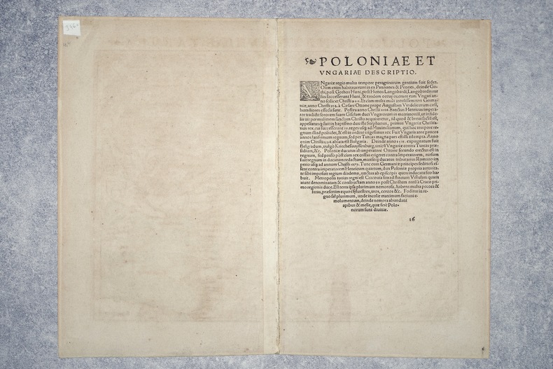
15603460CIRCA 1540-1560. BELLE CARTE GEOGRAPHIQUE (34,5 X 27 CENTIMETRES ENVIRON, 32,5 X 41 AVEC LES MARGES) DE LA POLOGNE ET DE LA HONGRIE, GRAVEE SUR BOIS ET COLORIEE A LA MAIN D'EPOQUE. PROVIENT DE LA VERSION PAR MUNSTER DE LA "GEOGRAPHIA UNIVERSALIS" D'APRES PTOLEMEE, QUI CONNUT PLUSIEURS EDITIONS EN PLUSIEURS LANGUES ENTRE 1540 ET 1560, CELLE-CI AVEC LE TEXTE LATIN AU DOS ET PORTANT LE NUMERO 16. TRES BEL ETAT.
15347675CB(Getruckt zu Tübingen, Durch Ulrich Morhart), anno 1534. 4°. (6) Bl., Bl. 2–237, 7 (von 8) nicht nummerierten Bl. Neuer Lederband im Stile der Zeit mit 2 Metallschliessen.
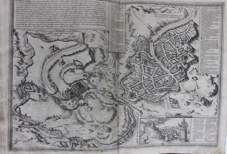
1579104091S.l., 1574 1579 Deux parties en un volume in-folio 37,5 x 26,5 cm, plein veau blond, dos à nerfs, caissons ornés rel. XVIII, 99 planches doubles sur onglet [sur 118] de vues et plans avec texte au verso : 62 de vue & plan unique, 37 multiples, en tout 180 cités figurées. Planches chiffrées, disposition non suivie, 8 planches de premier volume sont reportées à la fin du second. Trois planches sont passablement colorisées San Sébastien,Grenade et Antequera ; les personnages seuls sont colorisés sur 37 autres planches, la plupart d’une seule teinte. Quelques petites décharges. Sans les titres, privilèges, préfaces et tables. 7 ff. d’index du premier vol. sur 13 avec lacunes et déchirure importante du dernier ff. La plupart des planches présentent de petits effrangements, quelques rares brunissures marginales et une déchirure à la charnière en pied, sans manques, d’importance variable : généralement moins de 5 cm, plus d’un tiers de la planche pour 14 d’entre elles. Quelques restaurations marginales et onglets renforcés. Quelques surcharges aux versos blancs. Petites déchirures sans manques, la plupart marginales,à 13 planches ; huit planches défectueuses déchirures importantes avec manques : Vienne ; Milan ; Orléans Bourges; Avignon; Metz; Limbourg; Haarlem; Moscou. Fortes taches brunes sur deux planches Grenade et San Sébastien. Reliure défraîchie, accrocs important en tête, coupes et coins usés. En l’état.