Antiquariat.de

65 résultats
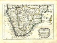
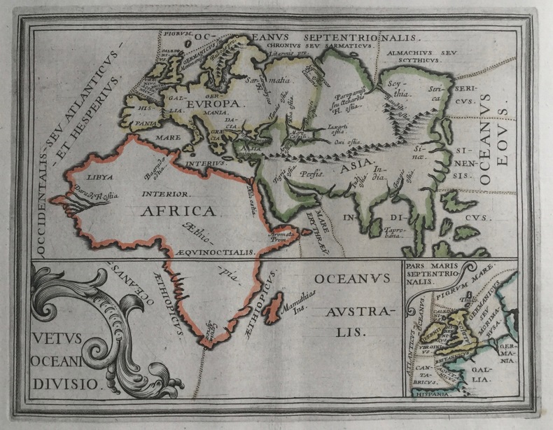
16401434BGo. O., Mercator, o. J. [um 1640]. Altkolorierter OKupferstich. 14,5 x 19 cm. Im Passepartout., Abbildung
170014056ABUm 1700. 15 x 10.5 cm.
168014094ABCa 1680. 14.5 x 10.5 cm.
165676600Paris 1656. 4to. Samtidig mykt helpergamentbind. 100 s. 2 s. annonser. Med 18 dobbeltsidige grensekolorerte kart. 4to. Contemporary limp vellum. Unpaginated. 100 pp. In addition two pages of advertisements. 18 engraved double page maps. Boundaries coloured. Chez l’Autheur. Fransk. <br/><br/><em>Noen få sider med små rifter affiserer ikke teksten eller kartene. Noe gulnet i ytterkantene.A few pages with small tears not affecting text nor maps. Some browning to extremities. Nicolas Sanson d’Abbeville 1600-1667 “considered by many to be the founder of the French school of cartography†Tooley. </em> hardcover
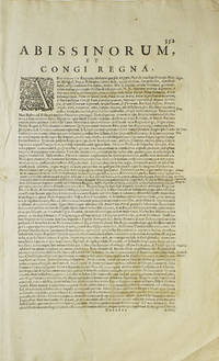
1638263796Amsterdam 1638. Copper engraved map colored in outline letterpress text on verso Abissinourm et Congi Regna Folios 352-353. 1 vols. Folio map 345 x 495 mm. Outline color. Small repairs to Nubia along old fold chiefly infill of blank areas. Very good. Copper engraved map colored in outline letterpress text on verso Abissinourm et Congi Regna Folios 352-353. 1 vols. Folio map 345 x 495 mm. Hand-colored map from the 1638 edition of the Mercator-Hondius Atlas. <br /> <br /> Includes frequent references to Amazons and locates "populi Antropophagi" just north of the Congo and Tritons and Sirens in Lake Victoria. Describes Nubia as "olim Christianam" and locates famous biblical queens of the time of Solomon along the banks of the Nile river. May locate the kingdom of Prester John on top of Amara Mons in the center of the map.<br /> <br /> A beautifully hand-colored map in excellent condition. Koeman I 8720:1A unknown
170017368Amsterdam, de Wit, 1675 (recte um 1700). Ca. 49,5 cm x 57 cm. [4 Warenabbildungen]
1674126157Paris, Louis Billaine 1674. * Mit 3 (statt 4) mehrfach gefalteten Kupferstich-Karten, 9 Kupferstich-Tafeln, 3 gestochenen Tabellen auf 3 Falttafeln und 1 blattgroßen Kupferstich-Karte im Text. 8 Blatt, 262 (recte 264); 35; 49; 23 Seiten; 1 Blatt (verbunden), 81 (recte 83) Seiten. 25,5 x 19 cm. Brauner Lederband der Zeit über fünf echten Bünden (stärker beschabt und fleckig, bestoßen, Rücken mit kleinen Fehlstellen) mit goldgeprägtem Rückenschild, reicher Rückenvergoldung und rotem Farbschnitt. [5 Warenabbildungen]
168661137Amsterdam: Wolfgang Waesberge Boom & van Someren 1686. First Thus. First French edition. Folio in fours 37cm. Contemporary mottled calf spine divided into seven compartments each tooled in gilt all edges sprinkled red; plain endpapers; vi53422pp; engraved title page 26 of 42 double-page line-engraved plates 55 in-text line engravings. Lacking 17 maps and plates including the large folding map of Africa. Bookseller's embossed stamp of F. R. Thorold Johannesburg to front free endpaper. Text complete collating 2o: π1 2 A-3Z4 4A2 signed $1-3 2K3 not signed. Generally tight with minor edgewear lower front joint starting to split very occasional spots of foxing but overall clean: a sound but obviously defective copy.<br /> <br /> The only French translation of this important 1668 text on Africa considered authoritative in its day despite the fact that its Dutch author never visited Africa instead relying on primary accounts of voyages. Extensively illustrated with depictions of people cities flora and fauna; this copy lacking almost all the maps but serviceable. Wolfgang, Waesberge, Boom & van Someren unknown
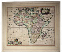
1680I24G435YONN5Amsterdam: Nicolas Visscher 1680. In passepartout 56 x 66 cm. Engraved double-page map image size: 43.5 x 54 cm; leaf size: 51 x 60 cm coloured by a contemporary hand. With title in a decorated cartouche on the top right flanked by two Africans and two putti and dedication to Gerardus Schaap in a decorated cartouche on the bottom left with Schaaps coat of arms on top and flanked by mythical figures. Further illustrated with small ships and African animals including lions monkeys rhinoceros and ostriches. Second state of Visscher's engraved map of Africa with the privilege added to the bottom right. It shows the whole continent of Africa the southern Mediterranean coast and a substantial part of the Arabian Peninsula. Primarily the coastline is accurately depicted with great detail to the South African coastline in particular - the interior of Africa was not accurately mapped until the 19th century. This map was based on Willem Blaeu's map of 1608 and used in atlases by the Visscher family up to 1696.With the centrefold strengthened at the back; paper browned and with a few small smudges but the colouring still bright.l Koeman Vis 86; V.d. Krogt & De Groot 35:04 first state; Norwich Africa 55. Nicolas Visscher, unknown
168487325Frakfurt/Leipzig: Joachim Bilden 1684. Gebundn. Joachim Bilden unknown
1632q6b1690beLugd. Batav., Apud Elzevir / Lugdunum Batavorum, 1632. 800 S. (die zwei teile sind durchgehend paginiert) + 16 S. Index, 6,5x11,5 cm. Einband etwas angeschmutzt, Pergaminrücken fehlt, die Bindung ist jedoch fest. Beitzvermerk aus dem Jahr 1721 (M. Joh. Albertus Bengel). Das Exemplar stammt also aus der Bibliothek von Johann Albrecht Bengel (1687 in Winnenden; 1752 in Stuttgart, ein schwäbischer lutherischer Theologe und ein Hauptvertreter des deutschen Pietismus.) Schnitte leicht angeschmutzt. Seitenkanten von Index etwas bestoßen, sonst gut. Leo Africanus, Geburtsname: al-Hasan b. Muhammed al-Wazzan al-Fasi / Al Hassan ibn Mohammed al Wazzan al Fassi, christlich getauft auf den lateinischen Namen Johannes Leo / Giovanni Leone (um 1490 in Granada; nach 1540 in Tunis) war ein Diplomat, Rechtsgelehrter, Übersetzer und Autor von Reise und Geographieberichten über Nordafrika, von berberischen Abstammung. Er bereiste von Marokko aus die Sahara und den Sudan und veröffentlichte seine Erkenntnisse in seinem Werk La descrittione dell'Africa (Die Beschreibung Afrikas, Erstausgabe 1550, italienisch), das über Jahrhunderte ein sehr einflussreiches Werk über die Geographie und Kultur von Nordafrika im europäischen Raum war. 12° [7 Warenabbildungen] Pergament
169786143Rome: Antonii de Rubeis 1697. Gebunden. Antonii de Rubeis unknown
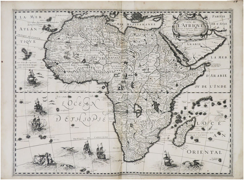
1632LBW-8688[Paris, Melchior Tavernier, 1632]. 376 x 497 mm.
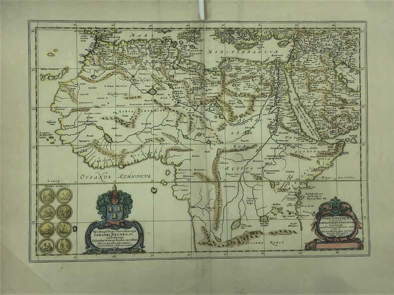
1662PHO-526belle carte de l’Afrique colorisée 37 x 53 cm. (57 x 66 cm) crée par Blankaart, Nikolaas, (1624-1703 )pliure centrale, déchirure (sans manque) sur le haut de la pliure , taches dans la marge sup., marge effrangée, verso sans texte. illustrée de deux cartouches décoratives et 8 pièces romaines Publiée dans Atlas historique de Janssonius de 1662. inscription dans la cartouche «Viro amplissimo pientissimoque Iohanni Brunaeo, IC. et illustrium Zelandiae Ordinum Syndico meritissimo, Nicolaus Blancardus, eorum dem Ordinum Historicus dedicabat L.M.Q.»
1652145571652 Broché - 16,5 x 24 - 78 pp - année 1921 - librairie Hachette -
1653UUI-9902Carte géographique de format 28,5/34,5 cm (pour la planche), 14,5/19 cm (pour la carte). Issue du rare atlas de Briet : "Theatrum geographique Europae veteris", Pierre Mariette, 1653. Papier légèrement jauni, mouillure sur le rebord latéral droit, bon état général, bel exemplaire. Frais d'envoi 7 euros sur la France, 15,05 UE et Suisse, entre 19,60 et 26,70 euros pour le reste du monde, à spécifier selon zone.Possibilité de remise en mains propres sur Paris, n'hésitez pas à me contacter avant de passer commande. Twitter : @Pontneuf06.
164421312Romae: Andree Phaei 1644. 4to pp. 18 93 1; engraved vignette title page 4 engraved plates 2 folding 1 double-p. 12 woodcuts in the text 1 hand-colored; bound with as issued: Romano De antiquis Romanorum ritibus Rome 1644 pp. 10 95-269 20; engraved vignette title page 10 engraved plates 2 folding 1 double-p. 2 double-p. and folding 18 woodcuts in the text; bound with: Romano De veteribus christianorum ritibus Rome 1645 engraved title page pp. 18 496 71; 6 engraved plates 1 double-p. 1 folding 1 folding and double-p. 8 woodcuts in the text; printer's woodcut device on the final leaf; bound in contemporary limp vellum front hinge broken the whole rubbed and worn internally very good. Graesse p. 59; Ibrahim-Hilmy p. 120. <br/><br/> Andree Phaei hardcover books
164421312Romae: Andree Phaei 1644. 4to pp. 18 93 1; engraved vignette title page 4 engraved plates 2 folding 1 double-p. 12 woodcuts in the text 1 hand-colored; bound with as issued: Romano De antiquis Romanorum ritibus Rome 1644 pp. 10 95-269 20; engraved vignette title page 10 engraved plates 2 folding 1 double-p. 2 double-p. and folding 18 woodcuts in the text; bound with: Romano De veteribus christianorum ritibus Rome 1645 engraved title page pp. 18 496 71; 6 engraved plates 1 double-p. 1 folding 1 folding and double-p. 8 woodcuts in the text; printer's woodcut device on the final leaf; bound in contemporary limp vellum front hinge broken the whole rubbed and worn internally very good. Graesse p. 59; Ibrahim-Hilmy p. 120. Andree Phaei unknown
1683901661AGAmsterdam:, Guliemi, 1683. 5 Kupferstiche, jeweils ca 14 x 20 cm, Blattgröße 21,5 x 25 cm.
169711811697 Amsterdam [Amstelaedami], Jean Wolters [Joannem Wolters], 1697. 24 x 18 cm (R), in-4, 1 f. bl. - titre frontispice entièrement gravé - 11 ff. n. ch. (dont titre, dédicace, adresse au lecteur, epistolae, table et privilège) - 565 pp. - 31 ff. n. ch. d'index - 2 ff. bl. - 2 planches, 3 tableaux et 41 (sur 43) cartes gravées hors texte, dont 40 sont dépliantes ou à double page, reliure hollandaise de l'époque en plein vélin doré, plats estampés à froid de motifs des Pays Bas espagnols dans un double encadrement de filets avec fleurons d'angle, dos estampé de filets et fleurons, titre manuscrit à l'époque, traces de lacets. (sig. *3, **4, ***4, A-Z4, Aa-Zz4, Aaa-Zzz4, Aaaa-Kkkk4)
169379592Salisburgi: Joannis Paptistae Mayr 1693. Joannis Paptistae Mayr unknown
167584960Paris: Sercy 1675. Gebunden. Sercy unknown
169169319Lipsiae: Christiani GoezI 1691. kart. Christiani GoezI unknown