[Bünting, Heinrich:]Antiquariat.de

10 résultats
1587911000CGWittenberg:, Ambrosius Kirchner, 1587. Holzschnitt, 26,5 x 33,5 cm, Blattgröße 31 x 38 cm.
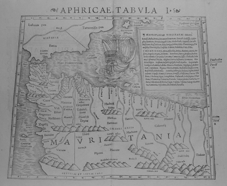
1552LBW01b4b[Bâle, 1552]. 268 x 333 mm.
159040297N.p. 1590. Image area 19-1/2" x 12-7/8" in 28" x 23" mat. 1 vols. Imperfectly colored along crease down center small and unobtrusive dampstain in one corner. Still a nice piece. Image area 19-1/2" x 12-7/8" in 28" x 23" mat. 1 vols. Abraham Ortelius 1527-98 was a Flemish geographer of German origin. His major work Theatrum Orbis Terrarum 1570 with later revisions and addendums was the first modern atlas. It was based on contemporary charts and maps and contained a collection of plates engraved by Frans Hagenberg in a uniform size and format. The Theatrum preceded the first atlas of Ortelius' good friend Gerardus Mercator. In fact popular sentimental legend has it that Mercator delayed publication of his own work so that his younger friend's would appear first. Although this simply isn't true Mercator wasn't ready the legendary cartographer did complement Ortelius for the "care and elegance" he had put into the Theatrum. unknown
159040297N.p. 1590. Image area 19-1/2" x 12-7/8" in 28" x 23" mat. 1 vols. Imperfectly colored along crease down center small and unobtrusive dampstain in one corner. Still a nice piece. Image area 19-1/2" x 12-7/8" in 28" x 23" mat. 1 vols. Abraham Ortelius 1527-98 was a Flemish geographer of German origin. His major work Theatrum Orbis Terrarum 1570 with later revisions and addendums was the first modern atlas. It was based on contemporary charts and maps and contained a collection of plates engraved by Frans Hagenberg in a uniform size and format. The Theatrum preceded the first atlas of Ortelius' good friend Gerardus Mercator. In fact popular sentimental legend has it that Mercator delayed publication of his own work so that his younger friend's would appear first. Although this simply isn't true Mercator wasn't ready the legendary cartographer did complement Ortelius for the "care and elegance" he had put into the Theatrum. unknown books
1595100047AG1595. Paris / London / Antwerp and other places of print c.1595 - 1851. Some stunning examples of hand-coloured copper-engravings plus one manuscript map Tuckey / Congo - Zaire. All of these maps in very good / excellent condition. This collection presents itself for becoming an amazing a meaningful starting-point for an Africana-Collection decoration for a Safari-Lodge interior-design for an Africana-themed library etc. etc. The price includes worldwide free shipping per DHL Express-Courier 2-3 day-delivery. Ask for complete list and images and please also inquire about our amazing book-collection of Africana which would be a great match for this collection of vintage maps. unknown
15981401Basel, 1598. Breitrandige und erfreulich gut gedruckte Seiten der ersten wissenschaftlichen und allgemeinverständlichen Beschreibung des Wissens der Welt in deutscher Sprache, die Grundlagen aus Geschichte und Geographie, Astronomie und Naturwissenschaften, Landes- und Volkskunde nach dem damaligen Wissensstand enthaltend.
1519396091519 P., Julliard (Collection "Archives" N°15), 1965, in 12 broché, 252 pages ; illustrations.
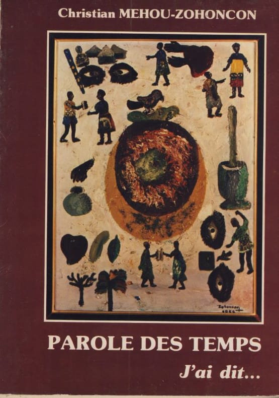
150254901502 Broché, bon état, dédicace en page de garde, 150x215, 157 gr, 119 pages, illustrations N&B,
160014100ABUm 1600. 8,7 x 13,4 cm
1600901638AG[Um 1600]. Kolorierter Kupferstich 19 x 26,5 cm, Blattgröße 21 x 29 cm.