HEYBERGER Laurent,Livre Rare Book

2 372 résultats
61393Presses Universitaires du Midi, Tempus, 2019, 346 pp., broché, bon état.
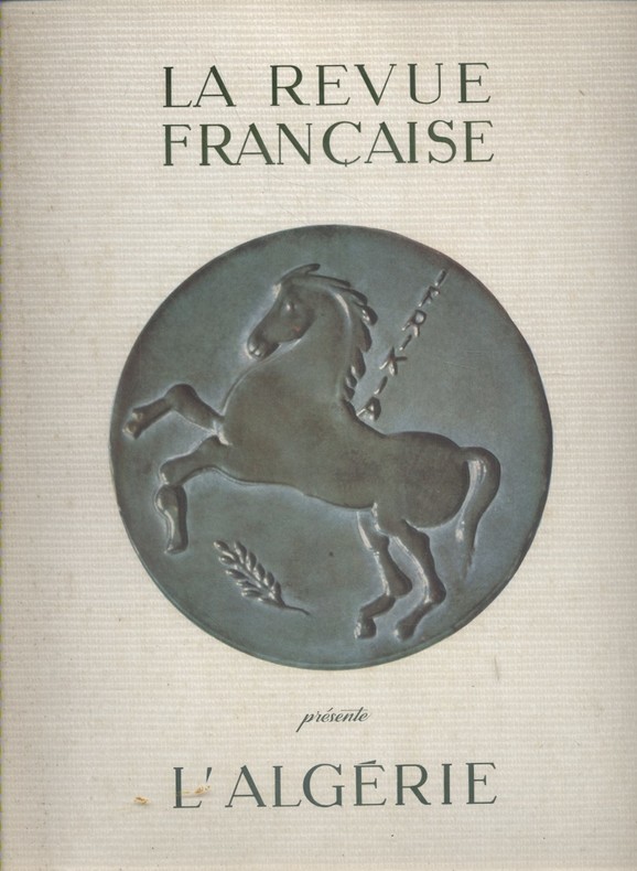
1960127980Couverture souple. Revue 24 x 31 cm. Environ 120 pages.
1960127981Couverture souple. Revue 24 x 31 cm. Environ 100 pages.
1960127986Couverture souple. Revue 24 x 31 cm. 100 pages.
fort in-8°, 518 pages, illustrations, broche, couverture souple illustre. Tres bel exemplaire. [TX-3]
26921PARIS, Impr. R. Foulon et Cie (1963) - In-8 - broché - 2 cartes en texte - 72 pages - très propre Envoi rapide et soigné
PARIS, Impr. R. Foulon et Cie (1963) - In-8 - broché - 2 cartes en texte - 72 pages - très propre Envoi rapide et soigné
Broch?. 267 pages.
191316626Couverture rigide. Reliure toile de l'éditeur. 432 pages. 8, 5 x 14 cm.
Broch?. 200 pages.Traces de scotch au dos. Couverture d?fra?chie.
197213306Paris Editions de Minuit, coll. "Grands Documents" n° 35 1972 1 vol. in-8 (220 x 135 mm) broché 202 pp., bibliogr. Edition originale française de ce texte publié en Angleterre et en Italie dès 1963. Couverture plastifiée, sinon bon état.
197213306Paris Editions de Minuit, coll. "Grands Documents" n° 35 1972 1 vol. in-8 (220 x 135 mm) broché 202 pp., bibliogr. Edition originale française de ce texte publié en Angleterre et en Italie dès 1963. Couverture plastifiée, sinon bon état.
grand in-8°, 168 pages, -, biblio, broche, couverture illustree plastifiee. Bel exemplaire. [CA2/3]
1996189600Maisonneuve et Larose Maisonneuve et Larose, 1996. In-8 broché, 450 pages, avec photos. Petite trace d'humidité en marge inférieure sans gravité. Bon exemplaire
grand in-8°, 354 pages, illustrations en couleurs, broche, couverture illustrée. Tres bel exemplaire. [AR-1]
Fine English Paperback. Cr. 8vo. (20 x 14 cm). In Turkish. 608 p. Arap halklari tarihi. [= A history of the Arab peoples]. MIDDLE EAST Arab Arabic peoples Social history Arabia Palestine Maghrib Africa Sina.
Fine English Paperback. Pbo. Roy. 8vo. (24 x 17 cm). In Turkish. 56 p., b/w ills. Bassehir Tunus'taki Türkçe kitâbeler. Turkish and Islamic inscriptions in Tunus, capital of Tunisia.
Very Good English Paperback. Pbo. Roy. 8vo. (24 x 17 cm). In French. 239, [1] p., 14 b/w plts. L'Algérie sous les Turcs. Contents: Situation du Maghreb à la veille de la conquête Turque - Apparition des Turcs dans le Maghreb (Les frères Barberousse - Action et gouvernement des Beylers-beys: Hassen Pacha) - Les Pachas triennaux, 1586-1659 - Le Gouvernement des Aghas, 1659-1671 - L'etat Algérien: gouvernement des Deys, (1671-1830).
Fine French Original red cloth. 12mo. (17 x 12 cm). In French. 256 p., 19 b/w plans, 32 numerous color plans, 1 map of Morocco in 18 pages. Maroc. Preface du Marechal de France Alphonse Juin de l'Academie française. First Edition.
New English Paperback. Pbo. Oblong large 8vo. 131 p. In French and Turkish. B/w and color ills. L'exposition qui s'oeuvre a la du lycee Notre Dame de Sion a partir du 8 mars est une selection de cartes postales dont la collection s'etend de 1885 a 1930. elle regroupe le travail de divers photographes qui ont parcouru l'Afrique du Nord colonisee. Principalement axee sur des portraits de femmes et sur des scenes de genre les mettant en scene dans un univers domestique, cette exposition ne pretend pas dispenser un savoir anthropologique ou social sur les femmes des colonies de la Fin-De-siecle. Ces cliches nous offrent neanmoins la possibilite de reflechir sur les representations coloniales du siecle dernier, representations qui perdurent encore dans les stereotypes publicitaires ou sont la source de certains prejuges toujours actuels.
New Turkish Paperback. Demy 8vo. (22 x 15 cm). In Turkish. 174 p., ills. Dünya haritasi ve cografya risalesi. Haci Ahmet was a purported Muslim cartographer linked to a 16th-century map of the world. Ahmet appended a commentary to the map, outlining his own life and an explanation for the creation of the map. But it is not clear whether Ahmet created the map, or whether he simply translated it into Turkish for use in the Ottoman world. Haci Ahmet appended a lengthy commentary to a 16th-century map of the world annotated in the Turkish language, known as The Ottoman Mappa Mundi of Haci Ahmet, amongst other titles, which opens with "Whoever wishes to know the true shape of the world, their minds shall be filled with light and their breast with joy.". The map is heart shaped, otherwise known as a "cordiform projection," a style that was popular in sixteenth century Europe, and the extant copy was printed from wooden blocks in Venice, Italy, in 1559. It was kept until the late 18th century in the archives of the Venetian Council of Ten. The map is now part of the Heritage Library in the Qatar National Library. Known as the "Mappamondo Haci Ahmet", the map outlines legends and place-names in Turkish, and it may be the first map in Turkish ever published for sale to an Ottoman audience. Whether the map is original, or was simply a translation into Turkish, it helps show how the people of the Ottoman Empire perceived themselves in relation to the wider world. Three small spheres appear below the main map at the bottom of the page - the central graphic represents Earth and a number of satellite planets, while the left and right depict constellations. Within the accompanying text of the map, Haci Ahmet explains that the map was created to share knowledge of the shape of the world, especially of the New World. Specifically, Ahmet points out that the classical philosophers, such as Plato and Socrates, did not know about the newly discovered continent, which he says shows that the world is round. He says that the New World demonstrates the "extent to which the Ottomans were participants in their own right in the process of physical expansion abroad and intellectual ferment at home that characterized the period of history commonly referred to as the Age of Exploration". Ahmet also assigns the Ottoman Empire's rulers and kingdoms to the celestial bodies represented in the lower quadrant of the map, a maneuver which has been interpreted as an effort to impose a hierarchical geopolitical system that preferences Ottoman rule above all other world powers. The map is considered unlikely to be original, and was probably translated into Turkish by Ahmet. The map has specific European characteristics, in that it includes the use of Western terms, suggesting Ahmet translated an older map into Turkish. In fact, throughout the map's accompanying text, Ahmet emphasizes translation, stating that he "translated it from the language and alphabet of the Europeans into that of the Muslims". A further argument made against Ahmet's authorship is that the "heart-shaped form of the map had already been used by earlier European cartographers". The map is "heart-shaped" and is constructed by a cordioform projection developed by 16th century cartographers and mathematicians including Johannes Werner (1468-1522), a German mathematician and geographer. The map has been tentatively linked to several other geographers, including Giovanni Battista Ramusio (1485-1557). It has also been argued that it shares similarities with a map by the French cartographer Orontius (1494-1555), published in 1534. Ahmet claimed the map was made for Ottoman princes, and some of the sons of Suleyman the Magnificent were interested in maps of the world and had looked to Venice for their production. This resulted in the development of Ottoman-Venetian relations, which offered "new interpretations of Venetian attitudes to the production of world maps for Ottoman clients".The map's printing in Venice hel
New English Paperback. Pbo. Cr. 8vo. (19 x 13 cm). In English. 132 p. "Are you interested in the Middle East and North Africa? Look closer! Are you going to make investment in the Middle East and North Africa? Look closer! Are you worried about your company's investment in the Middle East and North Africa? Look closer! This book is meant for you! Are you working in a company, which invests in the Middle East and North Africa? Look closer! Do you have a career planning as manager in the Middle East and North Africa? Look closer! Dr. Özdes Türkel is sharing with you his research of long years in the Middle East and North Africa. How is an investment made? How is a business established in the region? How are contacts made? What are the secrets of trade? What you should take care of? Simply read this book!".
200913166Paris, Editions larousse, 1992 ; in-4, cartonnage de l'éditeur illustré.
1980143413Albin Michel 1980 In-8 broché 24 cm sur 15.5. 608 pages. Bon état d’occasion.
200722621Maisonneuve & Larose - Coll. Connaissance du Maghreb 2007 In-8 broché, 199 pp;