2 376 résultats
31749Paris Pierre Belfond 1979 in 8 (24x15,5) 1 volume broché, couverture illustrée, 252 pages [4]. Bel exemplaire ( Photographies sur demande / We can send pictures of this book on simple request )
192253858- Une feuille 20 x 29 cm.
Very Good English Rebound to modern cloth made as saved original covers on cloth's faces. Cr. 8vo. (20 x 14 cm). Color ills. 273, [1] p. Economic doctrines of Islam Vol. III.
1373917Paris: Presses Universitaires de France, 1972 in-8, 291 pages. Reliure moderne basane rouge, dos à nerfs. Collection "Hier".
199330147Nouvelles Editions Debresse 1993 In-8 broché 21 cm sur 13. 96 pages. Bon état d’occasion.
Very Good Arabic Original autograph document/letter sealed by Ahmad I of Tunisia. 54x42 cm. 1 p. 6 long lines. The letter includes full of poetic praise. It must be sent after successful diplomatic intercourse with Naples. Ferdinand II (Ferdinando Carlo) was King of the Two Sicilies from 1830 until his early death in 1859. It starts with 'Thank God alone', and goes on 'From poor Ahmad Pasha to Lord Almighty Field Marshal Amîr [ruler]. Sealed by the seal of Ahmad Basha Beg including an impressive qasidah in Arabic. Ahmed I (ibn Mustafa), born 2 December 1805 in Tunis died May 1855 at La Goulette, was the tenth Husainid Bey of Tunis, ruling from 1837 until his death. He was responsible for the abolition of slavery in Tunisia in 1846. He succeeded his father Mustafa Bey on 10 October 1837. He had grand ambitions - to expand his army and create a modern navy; to build a new royal residence, a mint and modern institutions of education but neither he nor his brother-in-law the young Mustapha Khaznadar who served as his finance minister, had a clear idea of what such initiatives would cost. As a result, many of his projects became expensive failures which damaged the financial health of the country. Soon after his accession, Ahmad Bey received the traditional Firman from the Sublime Porte which formally invested him with authority to rule from the Ottoman Empire and furnished him with the insignia of office. The Ottoman envoy, Osman Bey, arrived in la Goulette on 15 May 1838 onboard a frigate. The following day, Osman Bey made his official entry into Tunis on horseback, preceded by all the ministers of the beylical cabinet who went before him until he was two leagues from the city. Before he were carried the sword of honor and the caftan to be presented to the Bey. He was escorted by spahis and followed by a large contingent of regular troops an Arab cavalry. Three days after his official entry into the city, the envoy presented himself at the Bardo Palace to formally invest Ahmad Bey with his insignia of office and present gifts. Named as a Divisional General in the Ottoman army in May 1838, he was later promoted by the Sultan to the rank of Marshal on 14 August 1840. This was the first time that a Bey of Tunis had held a rank higher than Divisional General. The purpose of these honors was to emphasize the supremacy of the Ottoman Empire over the Regency of Tunis. Under a treaty with France signed in 1830 by Hussein Bey, a piece of land in Carthage had been ceded to allow the erection of a monument to Louis IX of France who had died there during the Eighth Crusade. On 25 August 1840, the first stone was laid in the cathedral of Carthage. Ahmad Bey also permitted the Christian community of Tunis, consisting mainly of European merchants, to enlarge their small church near the Bab el Bhar. In June and July 1846 the Duke of Montpensier, son of King Louis Philippe of France visited Tunis and Carthage. He was received with great solemnity by Ahmad Bey. According to the Tunisian historian Mohamed Bayram V, Bey's reforms were focused on state structures, the army, and education. He established a modern structure of government and gave his high officials the title of 'minister'. His senior ministers were his Grand Vizier Mustafa Sahib at-Taba'a, Mustapha Khaznadar, Minister of Finance and of the Interior, Mustafa Agha as Minister of War, Mahmoud Khodja as Minister of the Navy and Giuseppe Raffo as Foreign Minister. At certain times Mahmoud Ben Ayed also served as Trade Minister, Kuchuk Muhammad in the honorific post of Minister in charge of the security home of Ahmad Bey's reforms wasted money, such as the large frigate built at La Goulette that could not make it through the channel to the sea. of Tunis and Mohamed Lasram IV as Minister of the Pen. The historian Ibn Abi Dhiaf was the Bey's private secretary. Among Ahmad Bey's successes may be counted as the abolition of slavery in January 1846. To this may be added the formation of the military academy at...
Very Good Turkish, Ottoman (1500-1928) Original b/w map from Kitab-i Cihannuma which is one of the most important Turkish incunabula. Oblong large 4to. (31 x 37 cm). In Ottoman script. It shows Venice and Venetian Bay and Algerian shores at North Africa (Maghrib). Toponyms are in Turkish with Arabic letters. Written directions (Simal, Cenûb, Sark and Garb) on corners of the map, and decorative compass on Mediterranean Sea. Scale can be seen at left upper side (El-mikyas: Mil-i Islâmiyân Mil-i Frençe, and Mil-i Italiya]. It's one of the thirteen maps and plates from the book of Cihannuma. The story of Cihannuma can be considered as an effort to keep up with the speed that knowledge spread around the world at a time when literacy was highly limited. Kâtip Çelebi began to rewrite Cihannuma in 1654. During the next six years, he added to his books the knowledge he gained from the books he read. Kâtip Çelebi was vastly influenced by nonreligious positive knowledge, especially by the Atlas and later the Atlas Minor of Gerardus Mercator. He had the book translated from Latin to Turkish by a French recruit andenriched his own book with the new information. He brought together in Cihannuma the knowledge of geography and astronomy existing in Western sources (1654). Cihannüma has 13 charts and 27 maps. Mercator's maps are distinguished by their distinct properties. However, there are such maps which depict Istanbul, Anatolia, the Caucasus and the Orient that have to have been borrowed from other sources and there are those with relatively less detail that might have been prepared by Muslim geographers. Sources cite Ahmed El Kirimî (Ahmed the Crimean) and Galatali Migirdich as mapmakers for Cihannüma. Their names are placed on the maps. Another name that is mentioned is Tophaneli Ibrahim. Researchers agree on the fact that he is Ibrahim Müteferrika. Perhaps he wished to hasten the printing of the book. Perhaps he enjoyed making this contribution to a book he half owned. There is one map in Cihannüma which definitely does not belong to Mercator. Nor is there any information that it was originally charted by Müteferrika's team. Historians state that the 'invertedness' can be found in other maps made by Muslim cartographers. Since it is amap of Turkey, the difference can easily be perceived. The Mediterranean coasts of Turkey are at the top of the map while the Black Sea coasts are at the bottom. The compass on the map correctly indicates the North. The map seems to be inverted but it is not considered scientifically wrong to draw maps in this fashion...". (Source: Boyut; Kitab-i Cihannuma). Extremely rare.
New English Paperback. Pbo. Roy. 8vo. In Turkish. 551 p. International relations of the Ottoman Empire and Africa. Osmanli - Afrika iliskileri.
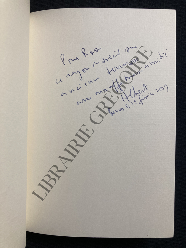
2007ABE-1690931722165COLLECTION NOUVELLES ET RECITS DU MAGHREB-ENCRES DE MICHEL TYSZBLAT-BANDEAU PRIX DU GRAND OUEST RENNES 2008-ENVOI DE L'AUTEUR SUR 4 LIGNES DATE ET SIGNATURE (ALBERT)-102 PAGES-IN 8 CARRE-(16E)
Fine English Paperback. Cr. 8vo. (20 x 14 cm). In Turkish. 608 p. Arap halklari tarihi. [= A history of the Arab peoples]. MIDDLE EAST Arab Arabic peoples Social history Arabia Palestine Maghrib Africa Sina.
1985AUB-916Editions Seghers 1985. In-8 broché, 352 pages avec table.
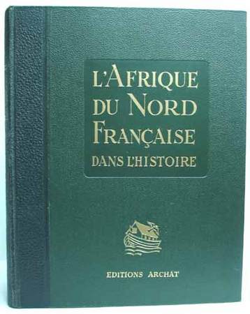
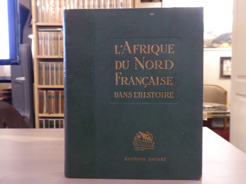
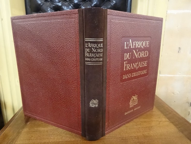
19370009651937 Paris, Archat, 1937. In-quarto (230 X 283 mm) relié demi-toile maroquinée, dos lisse orné d'un fer doré, titre doré, plats de toile chagrinée, titre doré sur le premier plat décoré d'un beau fer doré, premier plat de la couverture décoré (reliure de l'éditeur) ; 334 pages.
193753230Lyon - Paris, éditions Archat 1937 In-4, reliure de l’éditeur demi-chagrin bordeaux, report du titre doré sur le dos lisse et le premier plat, 334 pp., illustrations, cartes, planches en couleurs hors texte. Exemplaire en bon état.
39049Grand in-4 (285 x 225 mm), broché, couverture cartonnée éditeur, 334, (2) pages et 16 planches couleurs hors-texte. Lyon et Paris, éditions Archat, 1937.
82540Editions Archat Paris 1937 Grand in-8 carré ( 285 X 230 mm ) de 334 pages, demi-chagrin vert, dos lisse orné d'un petit motif doré, plats de percaline verte avec des cadres de filets à froid et le titre doré au centre du 1er plat. Introduction géographique de R. LESPES. Abondante et belle illustration dans le texte et à pleine page, 6 cartes ( 4 à pleine page, 1 dans le texte, 1 sur double page ) et 16 hors texte en couleurs de types et costumes par Roger J-IRRIERA. Bel exemplaire.
1937DEZ-4917Lyon et Paris, éditions Archat, 1937. In-4, reliure éditeur en demi daim, dos orné d'un bateau doré, titre doré au dos et sur le plat supérieur, tranche supérieure dorée, 334 pp. Edition originale, celui-ci étant un des 5500 exemplaires sur papier Torpelio. Ouvrage illustré de 16 planches en couleurs, de nombreuses illustrations in-texte et de cartes. Bel exemplaire.
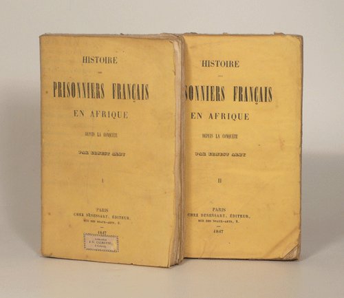
18470015521847 Paris, Chez Desessart, 1847. Deux volumes in-12 (120 X 184 mm) brochés, couverture jaunes imprimées ; Tome I : faux-titre, titre, 335 pages ; Tome II : faux-titre, titre, VIII-384 pages. Cernes de mouillure claire et rousseurs, plus marquées au premier tome, légers défauts aux couvertures. Etiquette de relais de la "Libraire Calmette à Cahors" sur le premier plat du tome I.
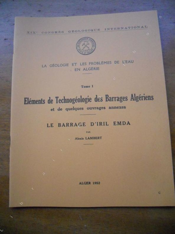
1952399591952. Alger, 1952. Format 22x27 cm, broche, (8) pages et 3 planches volantes. Tres bon etat.
1952399611952. Alger, 1952. Format 22x27 cm, broche, 11 pages et 8 planches volantes. Tres bon etat.
1939GITd098cAlger Imprimerie Minerva 1939. In-8 broché 176pp. Illustrations dans le texte, graphiques, 1 tableau en couleurs replié. Rousseurs sur la couverture.
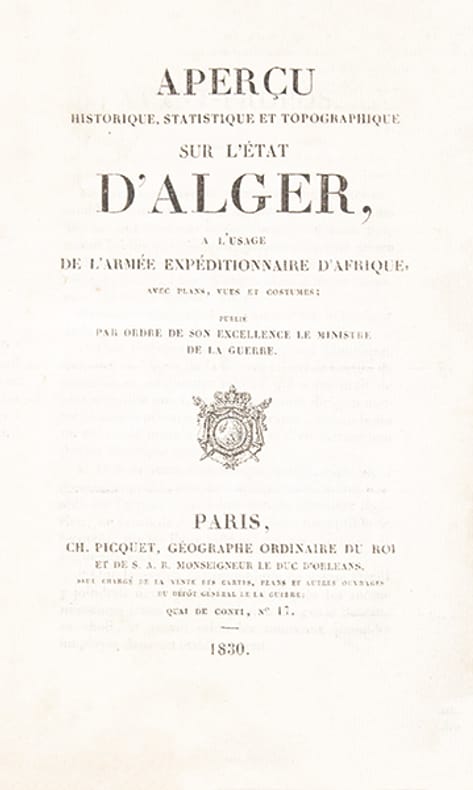
388922 volumes: un volume de texte in-12 (180 x 110 mm), broché, couverture imprimée, (4), xiii, 256 p. et un volume d'atlas in-folio oblong (265 x 347 mm), 6 cartes et plans dépliants et 11 planches. Paris, Charles Picquet géographe du roi (), 1830.
38905In-8 oblong (180 x 280 mm) broché, couverture coloriée et illustrée (bleu, blanc, rouge), broché, xvi, 600 p., texte sur 3 colonnes, très nombreuses illustrations et reproductions de photographies. Alger, Imp. Fontana frères, 1930.
In-4, broché, couverture imprimée, 23 p. Edition originale, en-tête du Ministère de l'Algérie, Direction générale des Affaires politiques. Recueil d'instructions concernant les Sections administratives spécialisées, signé par le ministre de l'Algérie de l'époque, Robert Lacoste.
1961107153Couverture souple. Broché. 133 pages. 21 x 27 cm.