COOPER (Adoplhe-Richard)Livre Rare Book

2 376 résultats
5066Paris, Payot, 1934 in-8, 270 pp., broché.
1950135798Couverture souple. Brochure de 16 pages.
36657Paris Editions Alsatia 1945 in 8 (25x16,5) 1 volume reliure à la bradel demi percaline marron à coins, 171 pages, avec de nombreuses illustrations hors-texte en noir et blanc. Bel exemplaire ( Photographies sur demande / We can send pictures of this book on simple request )
45184Sépia.2004.In-4,couv.à rabats,ill.en couleurs.446 p.Très nombreuses illustrations en couleurs. Etat neuf.
89038Paris, Société Anonyme d'Édition Belleville, 1909 in-12, 402 pp., demi-basane rouge, dos à faux nerfs (reliure de l'époque).
2717Lavilledieu (Ardèche), Candide, 1983, 1 broché, couverture illustrée. in-8 de de 239 pages, envoi autographe, signé de l'auteur.
1957mc851Société Shell d'Algérie Cahiers sous chemise 1957 In-4, (25x32.5 cm), cahiers sous chemise, bien complet des 6 lithographies en couleurs de B. Sarraillon et des 2 lithographies en couleurs de Charles Brouty ainsi que de ses illustrations en noir et blanc ; chemise légèrement jaunie, bon état. Livraison a domicile (La Poste) ou en Mondial Relay sur simple demande.
203453Paris, Imprimerie royale, 1775 in-4, 14 pp., un f. vierge, en feuilles.
2011020228Asnières-sur-Seine Éditions Du Layeur 2011 Grand In Quarto Ce livre a été conçu par ceux qui ont vécu la Révolution en Marche . Nombreuses photographies en couleurs . Histoire Maghreb . Tunisie . - 240 p. , 1 kg 200 gr.
Ce livre a été conçu par ceux qui ont vécu la Révolution en Marche . Nombreuses photographies en couleurs . Histoire Maghreb . Tunisie . - 240 p. , 1 kg 200 gr.
201134701du Layeur 2011 Grand in-4 broché, 239 p. Nombreuses illustrations en couleurs.
1964100149010Le Seuil 1964 in8. 1964. Broché. Dans cet essai Jacques Berque analyse les conséquences profondes de la décolonisation qui transforme à la fois l'ancien colonisé et l'ancien colonisateur. Il propose une interprétation de l'impérialisme et de ce qu'est la dépossession du monde en examinant l'accès des peuples à la raison historique à travers le prisme du trouble et de la violence. L'ouvrage s'inscrit dans la continuité de ses recherches sur le monde arabe et maghrébin fondées sur une analyse des degrés de signification
1892134168Paris, Firmin-Didot 1892 In-8 24,5 x 15,5 cm. Cartonnage éditeur percaline rouge, dos à nerfs encadrés de fers dorés, tranches dorées, 255 pp., 48 gravures, table des matières.
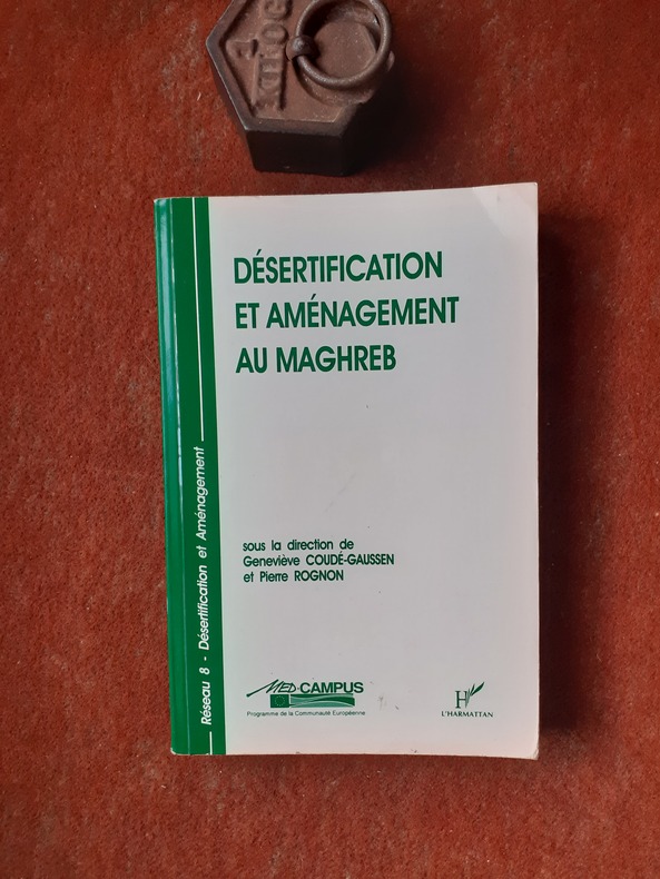
QWA-17168L'Harmattan, 1995, in-8 br. (15,5 x 24), 313 p., schémas et tableaux, cartes, ex-libris, bon état.
New Turkish Paperback. Demy 8vo. (22 x 15 cm). In Turkish. 174 p., ills. Dünya haritasi ve cografya risalesi. Haci Ahmet was a purported Muslim cartographer linked to a 16th-century map of the world. Ahmet appended a commentary to the map, outlining his own life and an explanation for the creation of the map. But it is not clear whether Ahmet created the map, or whether he simply translated it into Turkish for use in the Ottoman world. Haci Ahmet appended a lengthy commentary to a 16th-century map of the world annotated in the Turkish language, known as The Ottoman Mappa Mundi of Haci Ahmet, amongst other titles, which opens with "Whoever wishes to know the true shape of the world, their minds shall be filled with light and their breast with joy.". The map is heart shaped, otherwise known as a "cordiform projection," a style that was popular in sixteenth century Europe, and the extant copy was printed from wooden blocks in Venice, Italy, in 1559. It was kept until the late 18th century in the archives of the Venetian Council of Ten. The map is now part of the Heritage Library in the Qatar National Library. Known as the "Mappamondo Haci Ahmet", the map outlines legends and place-names in Turkish, and it may be the first map in Turkish ever published for sale to an Ottoman audience. Whether the map is original, or was simply a translation into Turkish, it helps show how the people of the Ottoman Empire perceived themselves in relation to the wider world. Three small spheres appear below the main map at the bottom of the page - the central graphic represents Earth and a number of satellite planets, while the left and right depict constellations. Within the accompanying text of the map, Haci Ahmet explains that the map was created to share knowledge of the shape of the world, especially of the New World. Specifically, Ahmet points out that the classical philosophers, such as Plato and Socrates, did not know about the newly discovered continent, which he says shows that the world is round. He says that the New World demonstrates the "extent to which the Ottomans were participants in their own right in the process of physical expansion abroad and intellectual ferment at home that characterized the period of history commonly referred to as the Age of Exploration". Ahmet also assigns the Ottoman Empire's rulers and kingdoms to the celestial bodies represented in the lower quadrant of the map, a maneuver which has been interpreted as an effort to impose a hierarchical geopolitical system that preferences Ottoman rule above all other world powers. The map is considered unlikely to be original, and was probably translated into Turkish by Ahmet. The map has specific European characteristics, in that it includes the use of Western terms, suggesting Ahmet translated an older map into Turkish. In fact, throughout the map's accompanying text, Ahmet emphasizes translation, stating that he "translated it from the language and alphabet of the Europeans into that of the Muslims". A further argument made against Ahmet's authorship is that the "heart-shaped form of the map had already been used by earlier European cartographers". The map is "heart-shaped" and is constructed by a cordioform projection developed by 16th century cartographers and mathematicians including Johannes Werner (1468-1522), a German mathematician and geographer. The map has been tentatively linked to several other geographers, including Giovanni Battista Ramusio (1485-1557). It has also been argued that it shares similarities with a map by the French cartographer Orontius (1494-1555), published in 1534. Ahmet claimed the map was made for Ottoman princes, and some of the sons of Suleyman the Magnificent were interested in maps of the world and had looked to Venice for their production. This resulted in the development of Ottoman-Venetian relations, which offered "new interpretations of Venetian attitudes to the production of world maps for Ottoman clients".The map's printing in Venice hel
Very Good English In modern HC. Cr. 8vo. In English and Dutch. 169 p. E. J. Brill-Leiden (Netherlands). Catalogue no. 351: The Iberian peninsula, The Maghrib and Africa (except Egypt). Mainly from the Collection of the late.
1975560281975 Presses de la Cité - 1973-1975 - 2 volumes in-8 de 344p+507p - reliure de l'éditeur sous jaquettes illustrées - Avec un envoi sur le verso de la première garde blanche (Tome 2).
4311ALIF, les éditions de la Méditerranée, 1995. Un volume in-4 pleine toile bordeaux de l'éditeur sous jaquette illustrée, 175 pages + index, illustrations en couleurs. Parfait état, exemplaire numéroté (000/1000).
Very Good English Rebound to modern cloth made as saved original covers on cloth's faces. Cr. 8vo. (20 x 14 cm). Color ills. 273, [1] p. Economic doctrines of Islam Vol. III.
22913Montpellier L'Auteur / Presses de l'Imprimerie Carlier Saumade 1999 in 8 (21x15) 1 volume broché, couverture illustrée en couleurs, 189 pages [1]. ''Moeurs et traditions de l'Akfadou''. Bel exemplaire ( Photographies sur demande / We can send pictures of this book on simple request )
1937GIT00a82Tunis Editions de la S.A de l'Imprimerie Rapide 1937. In-12 broché 194pp. Edition originale sur papier Alfa.
1988LFA-126747576Un ouvrage de 191 pages, format 140 x 220 mm, broché couverture couleurs, publié en 1988, Editions Minerve, bon état
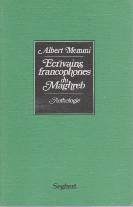
68163Seghers, 1985, 352 pp., broché, bon état.
74344Coll. "P.S.", Paris, éd. Seghers, 15 mars 1985, EDITION ORIGINALE, in-12, cartonnage souple couv. éditeur, "écrivains nés au Maghreb", table des matières, Remarquable "anthologie" des écrivains de langue française du nord de l' Afrique. Pas courant Très bon état
471515CEDEJ - 1990 - 1995 Collection complète du N° 1 au N° 24, en 21 vol. in-8 brochés.