Sanson d'Abbeville, NicolasAntiquariat.de

4 résultats
168311414Paris (?), [ohne Drucker], um 1683. Kupferstich, altkoloriert. Blattgröße: 25 x 39,4 cm, Druckspiegel: 16,8 x 30,8 cm
170017369Amsterdam, de Wit, 1675 (recte um 1700). Ca. 49,5 cm x 57 cm. [4 Warenabbildungen]
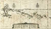
161918935Frankfurt: Blaeu 1619. Scarce copper engraved map of the northwest coastline of New Guinea and Moluccas showing the track of the Dutch explorers Le Maire and Schouten in 1616 in the ships Eendracht and Hoorn. The two explorers made the third complete circumnavigation and were the first to round Cape Horn from the east a more efficient way to get to the East Indies and thus a significant threat to the monopoly held by the Dutch East India Company. The expedition was headed for Batavia which it reached in October of 1616. The Dutch governor there obliged them by confiscating their cargo and sending them back to Holland but Schouten published his journals and now the word on the Drake Passage was out. With title cartouche in Dutch Latin and French. With two compass rose and sailing ship. From Schouten's account of his and Le Maire's first rounding of Cape Horn. Slightly toned otherwise very good condition. Blaeu unknown
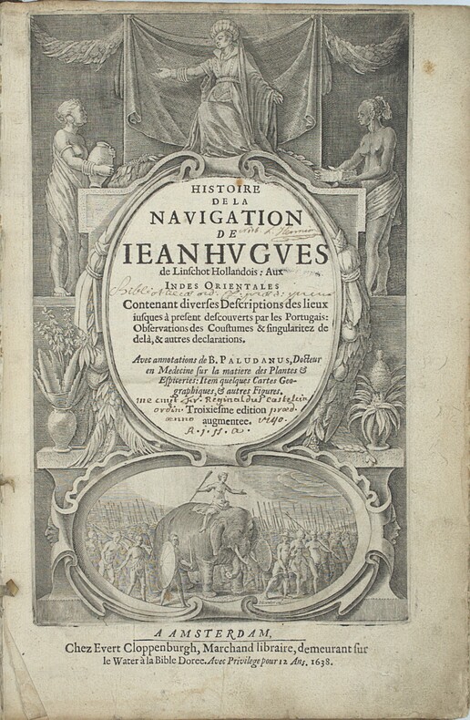
1638PHO-2460Amsterdam : J.E. Cloppenburch, 1638, in-folio, 315 x 220mm, 4pp. (titre, préface, indice des chapitres) 206pp., titre avec des figures allégoriques (Asie, Afrique Europe) et une scène d’un roi sur éléphant, illustré du portrait de l’auteur, 29 (sur 36 ) planches gravées dépliantes à double page et vues de Johann et Baptiste ven Doetecom d'aprés Linschoten , les cartes sont absentes. Titre empoussiéré, quelques taches et mouillures, le dernier feuillet détaché. Reliure en partie détachée du corps de l’ouvrage. Provenance - « Fr. Reginaldus Castelin (?) ordin. 1740 » (ex-libris manuscrit ancien). – L. Hennion (ex-libris manuscrit ancien sur une garde). Bibliographie Sabin, n°20128. Leclerc, n°363. Cordier Japonica, 222. Gay, 260