196 résultats
177127423Paris Lattré 1771 4 cartes anciennes colorées d'époque en vert , rouge et jaune, cartouche non coloré, gravée par Arrivet. Format total : 50 centimètres de haut par 39 centimètres de large, 1771 Paris Lattré Editeur,
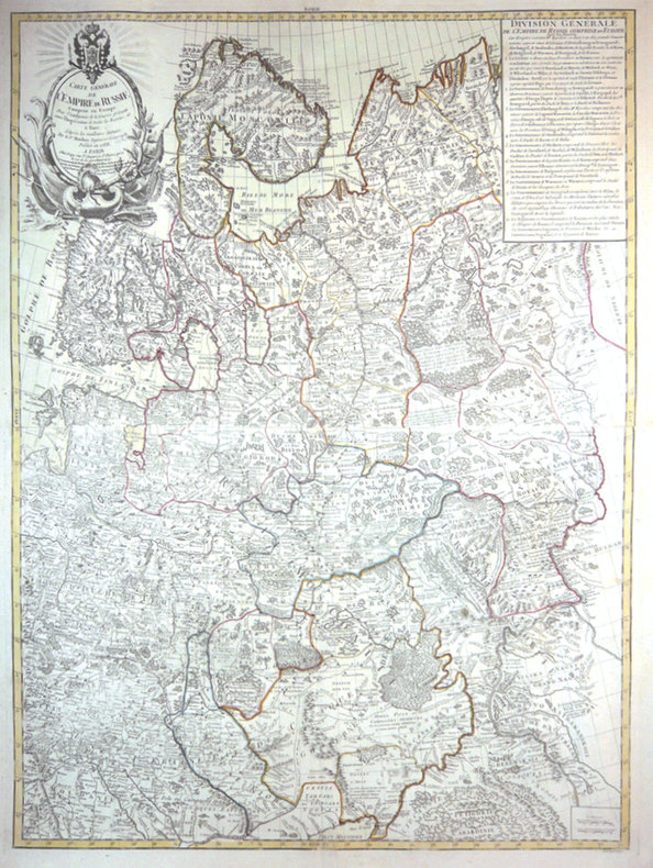
1788LBW-3426Paris, Crépy, 1788. En 2 feuilles jointes de 870 x 647 mm.
177521556Paris 1775. Very good condition. Detailed copper engraved map showing "Nouvelle Zemle" Nova Zembla in the Arctic Ocean off the coast of Russia and extending from Mer Blanche to the Golphe de Taz. With decorative cartouche. From Prevost's "L'Histoire Generale des Voyages".<br /> <br /> Bellin 1703 - 1772 one of the most noted French mapmakers of the 18th century was named the hydrographer chief cartographer to the French Navy and later the Official Hydrographer to the French King.<br /> <br /> 10 x 7 1/2" with ample margins. Strong impression very slightly evenly toned. unknown
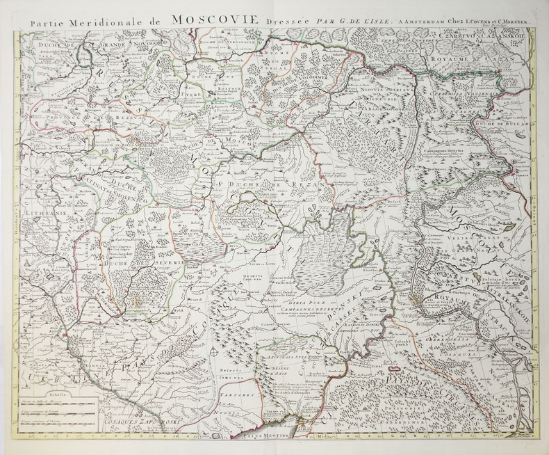
1740LBW-2276Amsterdam, Jean Covens et Corneille Mortier, circa 1740. En deux feuilles non jointes pouvant former une carte d'environ 980 x 620 mm.
1779153231779 trace de pliure carte 235 x 325 mm., P. 1779
1779153271779 trace de pliure carte 240 x 320 mm. P. 1779
177127421Paris Lattré 1771 carte ancienne colorée d'époque en vert , rouge et jaune, cartouche non coloré, gravée par Arrivet. Format total : 50 centimètres de haut par 39 centimètres de large, 1771 Paris Lattré Editeur,
1779153251779 trace de pliure carte 235 x 320 mm. P. 1779
176227446Paris chez l'Auteur ( Robert de Vaugondy) Editeur, 1762 carte ancienne colorée d'époque en vert , rouge et jaune, cartouche non coloré, gravée par E. DUSSY. Format total : 27 centimètres de haut par 39,8 centimètres de large, 1762 Paris : chez l'Auteur (Robert de Vaugondy) Editeur,
1794LBW-1159[1794]. 260 x 153 mm.
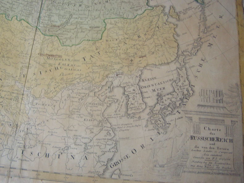
1786234891786 CHARTE DAS RUSSISCHE REICH UND DIE VON DEN TATARN BEWOHNTE LANDER IN EUROPA UND ASIA ENTHALTEND. Entworfen von F. L. Gussefeld. Engraved map of the Russian and Tatar Empires. Hand colored, with decorative corner cutaway with scales and numerical legend for the governmental regions of Russland. Intricately illustrated cartouche. surtitled "Carte de l'Empire de Russie & de la Grande Tartarie dressee avec soin par F. L. Gussefeld & publiee par les Herit. de Homann, l'an 1786."46.5 X 61 cm,pli central avec legere fente,coloriée,bonnes marges haut et bas.
1766Tir3451766 Planche seule - dimensions 38 x 29 cm - planche aquarellée - Quelques micro déchirures eu bordures - Le pli du milieu existant déjà sera donc envoyée pliée en deux .
177521534Paris 1775. Very good condition. Detailed copper engraved map of northeast Asia and Siberia from Lake Baykal sic Partie du Siberie in the north Pays des Kalkas at the center as well as Desert de Sable and down to Chine and the Golphe de Lyau-tong. From Prevost's "L'Histoire Generale des Voyages".<br /> <br /> Bellin 1703 - 1772 one of the most noted French mapmakers of the 18th century was named the hydrographer chief cartographer to the French Navy and later the Official Hydrographer to the French King. <br /> <br /> 12 3/4 x 9 1/4" original center fold. Strong impression very clean. unknown
17701308611Braunschweig, Schröderische Buchhandlung, 1770. Titel, S. (119) - 257, 2 Bl. Ppbd d. Zeit (beschabt, etwas bestoßen, Titel beiderseits m. Bibl.-Stempel).
175839186Danzig, Johann Christian Schuster, 1758. 758 S., 8 Bll. Register. Mit 3 Tit. mit gestoch. Vign. (wiederholt) u. 1 gefalt. Kpfr.-Plan. Pp. d. Zt.
175839187Danzig, Johann Christian Schuster, 1758. 742 S., 8 Bll. Register. Mit 3 Tit. mit gestoch. Vign. (wiederholt) u. 2 gefalt. Kpfr.-Plänen. Pp. d. Zt.
17821227994Riga, Hartknoch, 1782. 8, 344 S. Neuer Hlwdbd (Vorsatz m. Exlibris-Stempel).
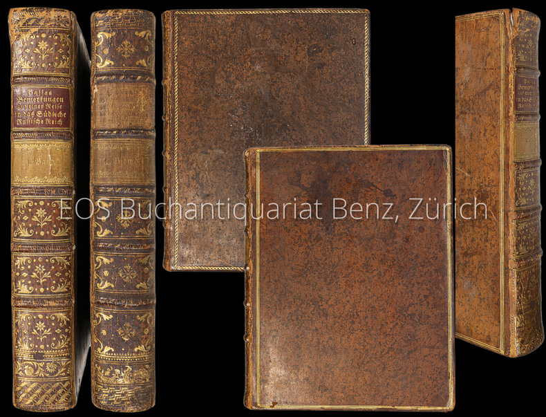
17997152CBLeipzig, Gottfried Martini, 1799?1801. 4°. XXXII, 516 S.; XXIV, 526 S. Mit 52 meist gef. (davon 23 koloriert) Kupfertafeln und 3 Kupferkarten (alt montiert auf einem Blatt, dieses lose). Lederbände der Zeit mit reicher Rücken- und Deckelvergoldung (nicht uniform). + Wichtig: Für unsere Kunden in der EU erfolgt der Versand alle 14 Tage verzollt ab Deutschland / Postbank-Konto in Deutschland vorhanden +, A|B|C|D 2 Bände (inkl. Tafeln und Karten). [4 Warenabbildungen]
17997152CB2 Bände (inkl. Tafeln und Karten). Leipzig, Gottfried Martini, 1799–1801. 4°. XXXII, 516 S.; XXIV, 526 S. Mit 52 meist gef. (davon 23 koloriert) Kupfertafeln und 3 Kupferkarten (alt montiert auf einem Blatt, dieses lose). Lederbände der Zeit mit reicher Rücken- und Deckelvergoldung (nicht uniform).
1798014463Paris Chez Hyacinthe Langlois, libraire 1798 Demi-reliure à coins
171959230Washington D.C.: Government Printing Office Hydrographic Office U.S. Navy 1917; 1930. Two vols. 8vo. ix 1 4 364 pp.; 19 mimeograph leaves. With 2 large folding colour map. First vol. in black publisher’s buckram silver lettering stamped on front cover & spine minor shelfwear slight interior toning shelfwear 2nd vol. mimeographed typescript & stapled at gutter margin minor dustsoiling edgewear predation to lower fore-edge tear to last leaf of blank lower portion still a VG set. First editions of these coast pilot guides to Arctic waters during and after World War I issued about the time of the Russian Revolution and offered key navigational guides for Naval forces during the ill-fated White Russia Revolution and over 13000 troops in the Polar Bear Expedition. Prior to modern GPS systems and satellite navigation these regularly updated and revised navigation handbooks provided key sailing instructions often drawing not only from Russian & British sources but also sailing reports from U.S. Navy vessels and those from merchant ships. The two maps serve as indexes to sailing charts to be ordered from the Hydrographic Office and keyed to sailing instructions within the coast pilots. The supplement is uncommon no copies located in Worldcat. Government Printing Office, Hydrographic Office, U.S. Navy, hardcover
174521786Paris sans nom d'Editeur 1745 in-12 plein-veau 3 textes de 2 auteurs différents reliés en un volume, reliure de l'époque plein veau havane marbré et raciné in-douze (binding full calfskin duodecimo) (10,2 x 17 cm), dos à nerfs (spine with raised band), décoré or et à froid (gilt and blind stamping decoration), titre frappés "or", une pièce de titre différente pour chaque titre : pièce de titre sur fond bordeaux avec double filets "or" en encadrement pout "Pierre Premier" + pièce de titre sur fond noir avec double filets "or" en encadrement avec fleurettes "or" aux angles du bas pour "RECUEIL A ", entre-nerfs à fleurons dans un encadrement à double filets "or" avec fleurettes "or" aux angles, double filets "or" en tête et en pied, roulette "or" en place des nerfs, plats ornés d'un triple filet à froid en encadrement, roulettes "or" sur les coupes (fillets on the cuts), toutes tranches lisses jaspées rouges, " ANECDOTES DU REGNE DE PIERRE PREMIER, DIT LE GRAND, CZAR DE MOSCOVIE" : sans illustrations (no illustration), (VIII + 137 + 1 p. de table) + (177 + 2 p. de tables) pages, [S.l.] MDCCXLV (1745) [sans nom d'Editeur], + "RECUEIL A" , titre imprimé en rouge, sans illustrations (no illustration), (IV + 2 p. de tables + 224) pages, MDCCXLV (1745) A Fontenoy (PARIS) [sans nom d'Editeur],
1745640s. l. s. n. 1745 2 parties en 1 vol. in-18 ( 15 x 9 cm ) Fx. t. , t. , (4) ff. n. ch. , 138 , (1) pp. + 175 , (2) pp. (dont fx. t. , t.) . Première partie contenant l'histoire d'Eudochia Federowna, et la disgrâce du prince de Mencikow , avec Avertissement et , in fine , Table . Seconde partie contenant son Ordonnance du 10/21 février 1720 pour la Réformation de son Clergé , Table in fine . Bandeaux , lettrines . Pleine basane de l' époque . Dos à cinq nerfs , p. de titre , caissons ornés dorés . Toutes tranches rouges . Bon état . Dans la Première partie , manque angulaire pp. 13-14 avec atteinte à qqs lettres , et p. 74 ch. 47 . ( Collat. complet )