Abreu, Maico Danubio DuarteBiblio.com
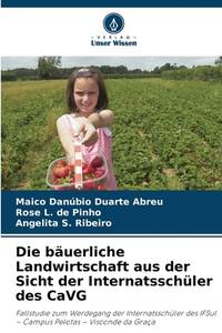
Die bäuerliche Landwirtschaft aus der Sicht der Internatsschüler des CaVG German Edition
6209813046.Gpaperback. Good. Access codes and supplements are not guaranteed with used items. May be an ex-library book. paperback
Bonita · États-Unis119,00 $US≈ 100,69 €