65 résultats
6224Paris, Société d'édition geographique et touristique, 1965 16 x 21, 189 pp., illustrations N/B, non coupé, broché, bon état
ML964Connaissance du monde 1965, in8br, 189pp, 42 illustrations photo, 1 carte. Envoi Langue: Français
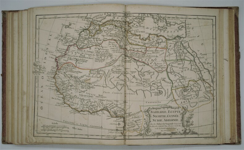
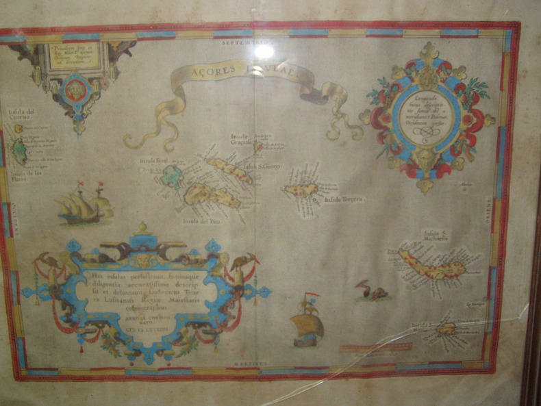
No marks or inscriptions. No creasing to covers. A very clean very tight copy with bright unmarked boards, slight tanning to pages and no bumping to corners. 67pp. Periodical magazine with feature articles on Herman Melville and Atlantic Relations - 19th century, Bothwell, third husband of Mary Queen of Scots as a prisoner in Denmark, Dr Alfred Maudslay, traveller and scholar of the Maya civilization - 19th century, Essex and Raleigh attack the Azores 1597 but fail to destroy the Spanish fleet, John Tyler - tenth US President, Marinetti - Futurist and Fascist and The Victorian crinoline and its caricaturists plus book reviews and letters.
129 pages. Modified version of the 1591 first edition entitled "A Report of the Truth of the fight about the Iles of Azores, this last summer Betwixt the Revenge, one of her Maiesties Shippes, and an Armada of the King of Spaine." Six tissue-protected colour plates. Small black and white sketches upon every page of text. Prior owner's ink stamp upon front and back free endpapers. Binding intact. Above-average wear to gilt-decorated sandy brown cloth exterior. A sound copy. Book
11470Genève, sans nom (probablement Pellet), 1781 ; 10 tomes in-12 et Atlas in-4 (1780) ; demi-basane fauve, dos à faux-nerfs dorés, pièces de titre et de tomaison bleu-canard, tranches jaunes ; ON AJOUTE : Atlas : demi-veau glacé vert-Empire, dos décoré de fleurons dorés, titre doré (reliure début du XIXe siècle) ; XII, 452 ; VIII, 516 ; VIII, 471 ; VIII, 391 ; VIII, 352 ; VIII, 404 ; XII, 471 ; 426 ; VIII, 362 ; IV, 447 ; portrait de Raynal par F.G. Lardy en frontispice du tome Ier et 9 frontispices gravés, un à chaque tome, eux aussi par Lardy ; Atlas : (4), 22 pp., (1) f. blanc, 50 cartes dépliantes (49 + 17 bis).
186846302Couverture souple. Revue hebdomadaire brochée. 16 pages. 21 x 28 cm. Pliure au milieu.
1790PHO-731Paris: Chez de S. Delamarche, Géographe, Rue du Foin St. Jacques, au Collège de Mtre. Gervais, 1790. in-4 (230x280) ,relié demi-daim époque , manque sur un coté [1-2, titre gravé] 3-6 [introduction gravée], [4, tableaux et listes gravés], 52 cartes doubles, gravées sur cuivre avec cartouches ornées, couleur du contour d'origine, gravées par E. Dussy, en fin d’ouvrage une grande carte dépliante de la Grèce par Barbié du bocage. rare atlas mis à jour par François Delamarche qui avait repris le fond de Robert de Vaugondy. Commentaires au crayon d’époque sur le dos de quelques cartes , quelques mouillures et taches, réparation au titre et à une carte.
Lisboa, na Officina de Francisco Borges de Sousa, 1783. 8vo.; 9 hs., 248 pp. y dos estados plegados. Encuadernación de época en piel marbreada, con ligeras pérdidas en cabeza y pie de lomera.
1584224251584 Orig. copper-engraving. Published by A. Ortelius after to L. Teixeira's map of the Açores. Dated 1584. Coloured. With title in decorative border, 3 ornamental cartouches, 2 ships, sea-monster and "Scala Leucarum". 32,5:46,5 cm (12 3/4 x 18 1/4 inch.) 2,5 x 46,5 cm Van der Krogt, Koeman's Atlantes Neerlandici, Vol. III B, 6350:31; Van den Broecke, Ortelius Atlas Maps, Nr. 24. - Stammt aus einer von fünf lateinischen Ausgaben, die in den Jahren 1595 - 1612 erschienen. Alle tragen das Datum 1584 in der großen Kartusche.A splendid sea chart of the Azores with three scrollwork cartouches; the ocean is decorated with sailing vessels. A fresh example of this scarce sea chart, based on Teixeira's single sheet map of Terceira from 1582, and a later manuscript atlas of the Azores islands. The Azores played a significant role in international sea trade as a victualling stop and shelter for ships sailing into the South Atlantic. In very good condition. The map was first issued in an edition of 100 examples in the Additamentum to the 1583 edition of Ortelius' Theatrum Orbis Terrarum, which is widely referred to as the first modern atlas and a landmark in the history of Western map making. Beginning in 1570, Abraham Ortelius and his successors published (and continuously added to) this monumental work for a period of over 40 years (not including the very rare edition of 1641), with text on the verso in Latin, Italian, German, Dutch, French, Spanish and English.References: Van Den Broecke 24. Meurs p 253-254.
Lisboa, Livraria de Antonio Maria Pereira, 1861. Dos volúmenes en 4to.; 277 pp. + 269 pp., y una lámina aparte, grabada en acero por Souza, con el retrato del autor. Cubiertas originales.
19890Illustrations par L. Benett, vues photographiques, planches en chromolithographie. Paris. Collection Hetzel. Sans date (1907).. Grand in-8 (28x18). 492 pages. Percaline polychrome rouge à une tête d'éléphant, titre dans l'éventail, dos au phare (Engel relieur).Toutes tranches dorées.
5670In 8 demi-chagrin rouge,titre,roulette,filets dorés, filets à froid,faux-titre,titre,XVI,412 pages,42 gravures dans le texte et hors-texte,une carte dépliante en fin de volume, 4 planches hors-texte.Paris A.Hennuyer imprimeur–éditeur 1891.Quelques petites rousseurs éparses, principalement en début et fin de volume,sinon très bon exemplaire.
107873Paris, Dépôt Général de la Marine, 1852, Tome 1/2 vendu seul, 1 volume in-folio de 354x260x15 mm environ, 1f. blanc, page de titre, 1f. (Avertissement), 23 cartes montées sur onglet, 1f.blanc, demi percaline bleu-gris, titres dorés sur dos lisse. Quelques rousseurs et pages légèrement brunies, couverture frotté avec accrocs et manque de papier marbré par endroits, dos en partie décollé, intérieur bon état.
43690071-nnew. unknown
43690071like new. unknown