Grosvenor Peter, The Prince of WalesLivre Rare Book

112 résultats
1978RO60143938The Bodley Head. 1978. In-8. Broché. Bon état, Couv. convenable, Dos satisfaisant, Intérieur acceptable. 126 pages. Quelques rousseurs. Nombreuses illustrations en noir et blanc. Texte en anglais. Jaquette passable, déchirures.. Avec Jaquette. . . Classification Dewey : 420-Langue anglaise. Anglo-saxon
yd1628The Honourable Society of Cymmrodorion Agrafé In-8 (13,7 x 21 cm), agrafé, paginé vi-xxxi et 161-257, texte en anglais et en gallois ; un coin corné, bon état général. Livraison a domicile (La Poste) ou en Mondial Relay sur simple demande.
1995500145603Hodder Children's Books 1995 48 pages 22 4x1x27 4cm. 1995. Relié. 48 pages.
1995500145605Hodder Children's Books 1995 48 pages 22 4x1x27 4cm. 1995. Relié. 48 pages.
17851211785 Dublin, Jenkin, White, Byrne, Marchbank and Davis, 1785.
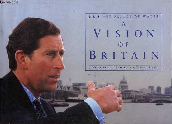
1989R320170295Doubleday. 1989. In-4. Relié. Bon état, Couv. convenable, Dos satisfaisant, Intérieur frais. 160 pages - jaquette conservée - ouvrage en anglais - nombreuses illustrations en couleurs et en noir et blanc dans et hors texte.. Avec Jaquette. . . Classification Dewey : 420-Langue anglaise. Anglo-saxon
201005322London, Doubleday, 1989 ; in-4 oblong, 160 pp., cartonnage d'éditeur avec jaquette. En anglais - bon état.
1993LFA-126724536N° 39 (Février-mars 1993) : Revue de 98 pages, format 210 x 280 mm, illustrée, brochée couverture couleurs, bon état
1980100136503Oxford University Press 1980 230 pages in8. 1980. Relié. 230 pages.
116329aafPrinted for Carington Bowles N° 69 in St. Pauls Church Yard, London. / Published as the Act directs, 2 Jan.y (1773), 88 x61.5 cm, coloured in outline, with an inset map to the left ‘A map of the Navigable canals now making in England’ entire leaf untrimmed (map image appr. 58x51 cm).
1992500245614Palgrave Macmillan 1992 93 pages 12 6x1 2x18 8cm. 1992. Broché. 93 pages.
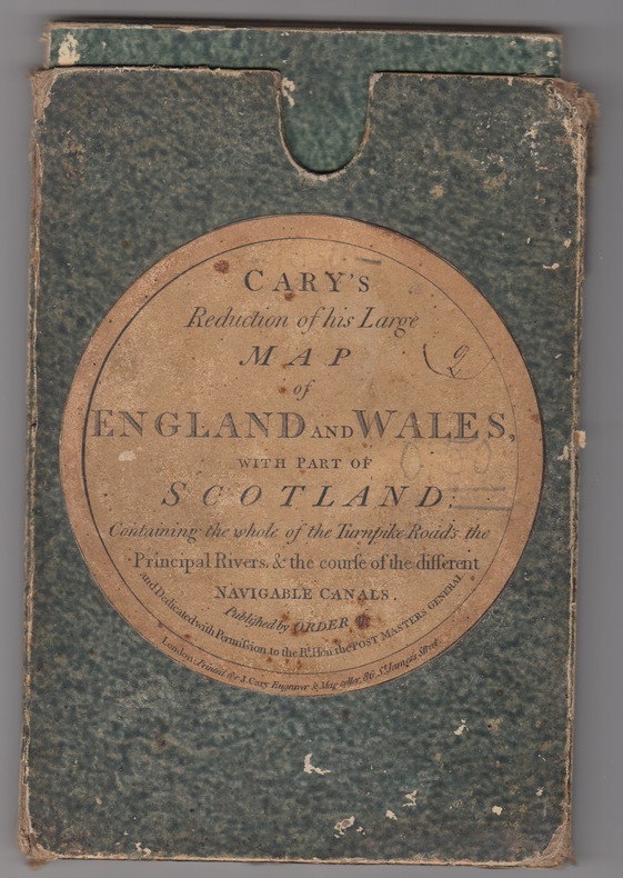
1824243011824 London: J. Cary(1830). Folding map. 24 sections laid on linen. Outline hand-colour borders to the county borders. Grubby linen backing with some browning but not generally affecting the map papers.With the original slip-case ,an attractive copy. Originally published in 1796 this reduced issue is pub. by Cary at 86 St James Street and corrected to the year 1830. Scale 15 miles:one inch. Image measures 29.75" x 24.75".. Printed Map.
1978030436London 1978 Thames & Hudson Hardcover Very Good
200614884, JC Lattès, 1997 ; in-8, 306 pp., broché, couverture illustr.
188929008Senlis Imprimerie De Eugène Dufresne 1889 In-8 83 pp - gravures dépliantes
2003100133726Hodder Arnold H&S 2003 288 pages 15 4x1 4x23cm. 2003. Broché. 288 pages.
1997100134360Cambridge University Press 1997 220 pages 15 8x2 4x22 8cm. 1997. Cartonné jaquette. 220 pages.
1997G71845s.l., Gouda Quint s.d. [+/- 1997] xii + 291pp. + toegevoegd: 2pp.stellingen, 24cm., mooie staat, [doctoraatsthesis, Universiteit Maastricht, promotores: Prof. G.A.A.J. van den Heuvel & Prof. M.E. Punch], G71845
1983X71665London, Curzon Press 1983 xiii + 145pp. + 12 ills.out-of-text, cloth, dustwrapper, G, X71665
SLIVCN-9781633451582Museum of Modern Art (12/2023)
197875268Time-Life Books 1978 In-4 relié 29,7 cm sur 24,1. 200 pages. Très bon état d’occasion.
2002110450Dreamland éditeur, coll. « CinéFilms », n° 4 2002 In-8 broché 21 cm sur 15,5. 127 pages. Bon état d’occasion.
1990100137374Cambridge University Press 1990 134 pages 14 986x1 016x22 606cm. 1990. Broché. 134 pages.
25434Cardiff/London, The University of Wales Press Board/Humphrey Milford, 1926 Bound, original editor's jacket, 14x21.5 cm., 15x22.7 cm., pages vii-xx and 246 pp., photograph Emile Verhaeren in b/w.
233054Paris, Calmann-Lévy, s.d. (1904) in-8, [2] ff. n. ch., VIII pp., 544 pp., broché. Dos fendillé.