LACOMBE, Sieur Jean deMareMagnum
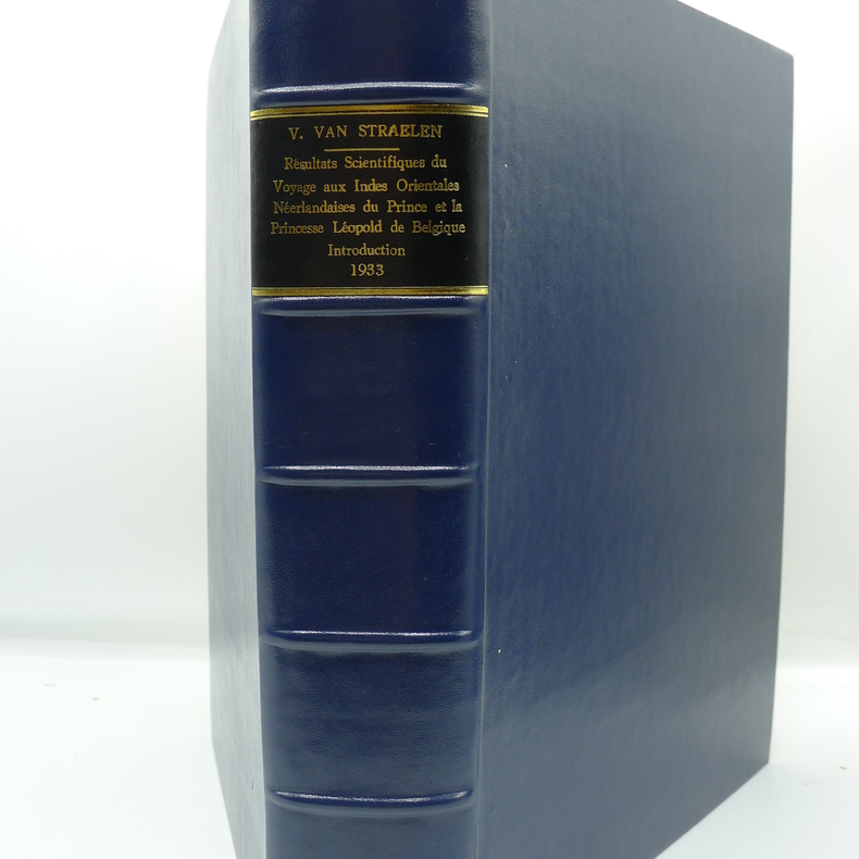
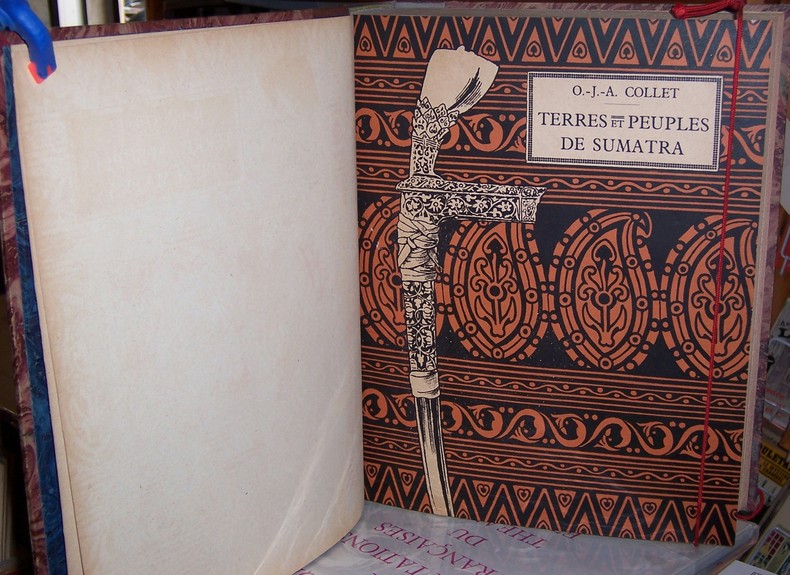
COLLET (Octave J. A.)Livre Rare Book
Terres et peuples de Sumatra.
192512507Amsterdam, Société d'Edition Elsevier, 1925 1 volume In-4° (21,7 x 28cm) Reliure d'époque demi-basane marron; dos à 5 faux nerfs, titre doré, roulette et filets dorés aux coiffes; papier de couvrure des plats et gardes marbrés; plat de couverture illustrés conservés. XVI + 562p., 1 feuillet; nombreuses vignettes, cartes et graphiques in texte, 88 planches hors texte, grande carte dépliante couleurs hors texte in fine.
Librairie Paroles · Avignon, France220,00 €