COOK (James)Livre Rare Book
64 résultats
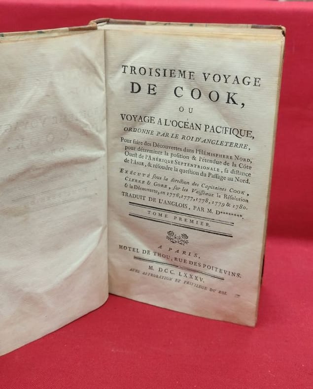
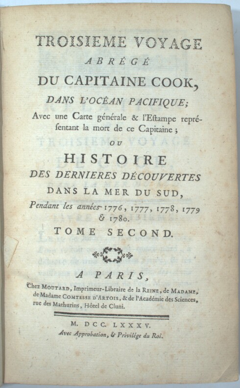
1785PHO-1570Paris, Moutard, 1785. 3 volumes in-8, demi veau époque, dos à nerfs, charnières fendues, coiffes absentes, coin et coupes usés, 3ff.-viii-519pp., 2ff.-591pp., 2ff.-477pp., quelques rousseurs.
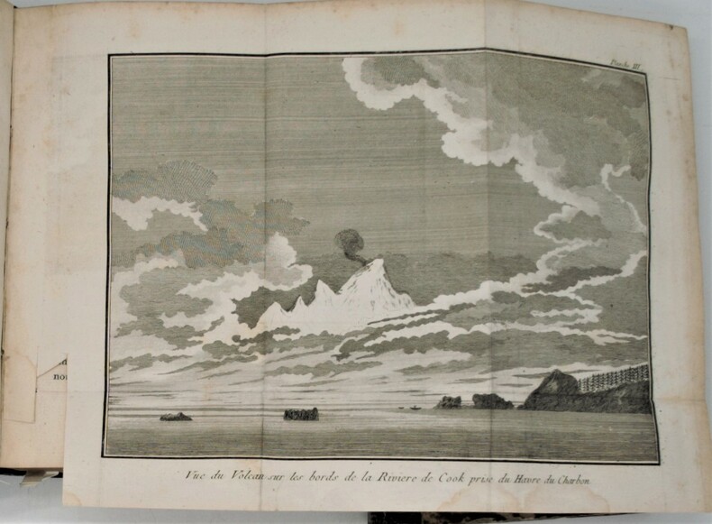
1785118723paris thou 1785 4 A Paris, Hotel de Thou, 1785, 4 volumes in-8, 512 - 512 - 592 - 584, 111 pages, contient les 2 tableaux dépliants et les appendices, sans l'atlas de planches.Demi reliure à coins, dos longs portant titres et tomaisons dorés sur pièce de cuir respectivement orangé et vert, tranches mouchetées, gardes blanches. Reliures usées mais solides (cuir épidermé, coins frottés, mors interne en partie apparent), nombreuse erreurs de pagination, sans manque, un cahier du tome I dont les pages ne sont imprimées que sur une face du feuillet (sans manque) intérieur frais, bon état général.
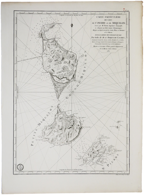
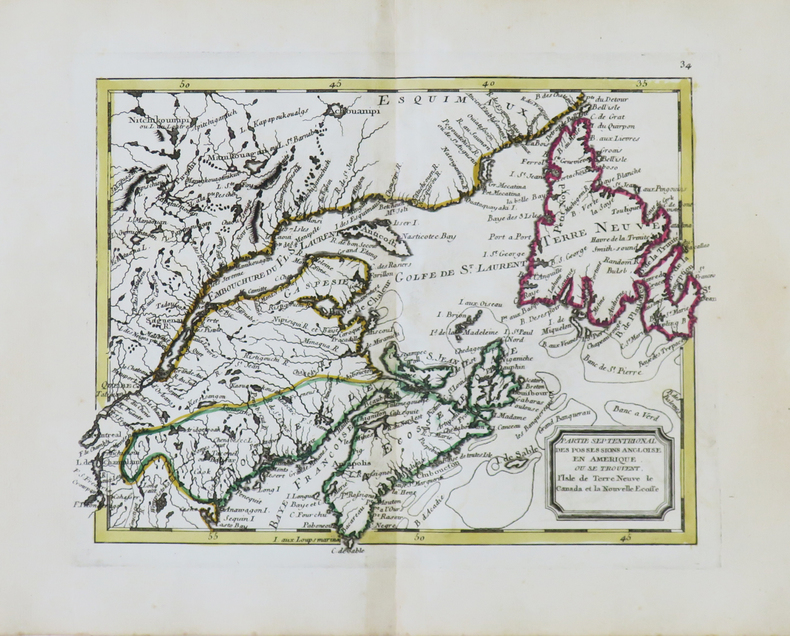
1782LBW0393e[Paris], Dépôt Général des Cartes, Plans et Journeaux de la Marine, 1782. 580 x 412 mm.
1789PHO-853Paris, chez Maradan, 1789. in-8 (20,5 x 13 cm), [6]-581 + [4]-292-46-[4] p. + h.-t. 2 vol. reliés époque , dos lisse avec titre , tomaison et nom du collectionneur en queue. Édition originale de la traduction française, cet exemplaire comporte bien les tables dépliantes à la fin du volume 2 mais compte 19/22 planches et cartes hors-texte (manquent 18, 21, 22). Marques d'usure aux reliures, plusieurs fentes aux mors, restaurations de papier à la p. de titre et la suivante dans le vol. 1, mouillure claire sur quelques ff. du vol. 2 et tache en marge haute des derniers ff. Sabin, 20366, Chadenat, n°1593
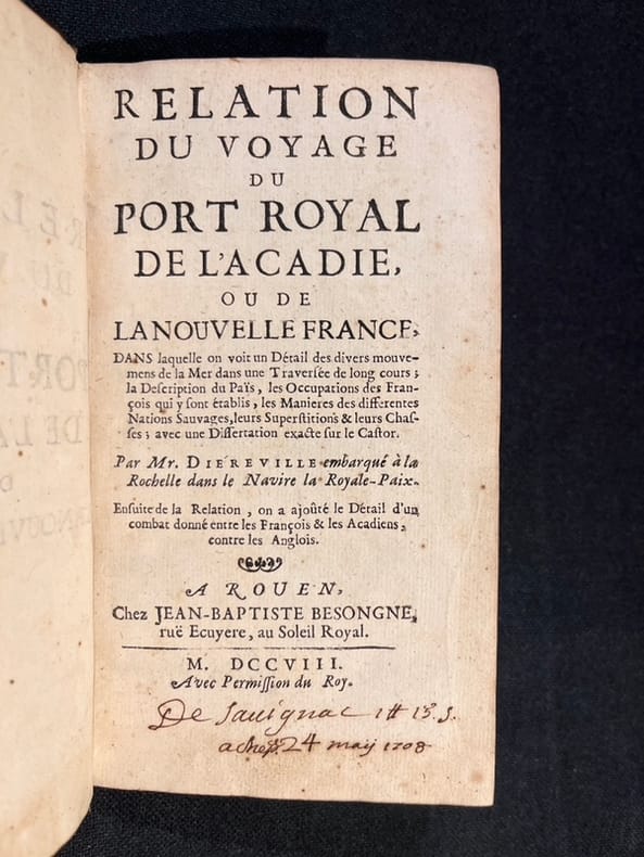
170820836A Rouen, chez Jean-Baptiste Besongne, 1708. In-12 de [14]-236-[2]-7 pages, plein veau brun, dos à nerfs orné de filets et fleurons dorés, roulette dorées sur les coupes, tranches mouchetés rouge.
1749GIT01513A paris chez Sébastien Jorris 1749. In-12 319pp. Pleine basane havane marbrée, dos à nerfs orné de compartiments dorés, pièce de titre ocre, tranches brique, rel époque. Orné de 7 panches repliées: vues, indigènes, animaux, outils. Bel exp, bien complet de ses 7 planches.
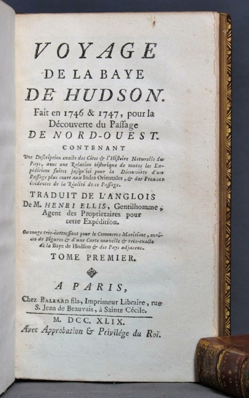
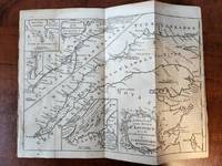
1749PHO-1093Paris, Antoine Boudet T1, Ballard T2, 1749. 2 volumes in-12, reliures différentes ,lvi-182pp-2ff ,2ff-319pp. , illustré de 10 gravures la plus part dépliantes et 1 carte .Édition originale de la traduction française, par Gottfried Sellius, publiée un an après l'originale anglaise.Elle est ornée d'une carte dépliante de la baie de Hudson et de dix planches hors texte, gravées par Flipart.
17498859Paris, Ballard fils, 1749. 2 volumes in-12 de [4]-LVI-182-[4]; [4]-319 (la pagination saute de 312 à 315) pages, plein veau marbré de l'époque, dos à nerfs richement ornés, pièces de titre et tomaison rouge et marron, triple filet doré encadrant les plats, simple sur les coupes, tranches dorées.
1795E0029<b>Samuel Hearne was the first European to make an overland excursion across northern Canada to the Arctic Ocean</b><br /><br />xliv458 pages with two of four engraved plates after drawings by the author both folding and four of five folding engraved maps. Quarto 11 3/4" x 9 3/4" bound in full leather with raised spine bands and gilt lettering to spine. HillI page 141. Sabin 31181 First edition.<br /><br />Manuscript journal was found by La Pérouse when he captured Fort Albany; later one of his conditions of surrender was that it be published. Samuel Hearne 1745 – November 1792 was an explorer fur-trader author and naturalist. He was the first European to make an overland excursion across northern Canada to the Arctic Ocean In 1774 Hearne built Cumberland House for the Hudson's Bay Company its first interior trading post and the first permanent settlement in present Saskatchewan. From 1769 to 1772 Hearne was employed in north-western discovery searching especially for certain copper mines described by Indians as "Far-Away-Metal River". These copper mines were found in the Barren Lands where the ground is permanently frozen to within a few inches of the surface creating in many areas vast stretches of mosquito- and fly-infested swamp during the summer thaw. For this reason it was decided that travel in winter was preferable. His first attempt began on 6 November 1769. The large size of the expedition and too much European equipment being carried led to the desertion of his Indian guides and the failure of the expedition. His second commencing 23 February 1770 failed because his quadrant was broken and much of his equipment was stolen. Learning from the mistakes of the first two expeditions Hearne contrived to travel as the only European with a group of Indians led by the great chief Matonabbee. The group also included eight of Matonabbee's wives to act as beasts of burden in the sledge traces camp servants and cooks. This third expedition set out in December 1770 in order to reach the Coppermine River in summer by which he could descend to the Arctic in canoes. Matonabbee kept a fast pace so fast they reached the great caribou traverse before provisions dwindled and in time for the spring hunt. Here all the Indian hunters of the north gathered to hunt the vast herds of caribou migrating north for summer. A store of meat was laid up for Hearne's voyage and a band of warriors joined the expedition. Matonabbee ordered the women to wait for his return in the Athabasca country to the west. The Chipewyans were generally a mild and peaceful people however they were in a state of conflict with the Inuit. A great number of Indians joined Hearne's party to accompany them to the Coppermine River with intent to murder Inuit who were understood to frequent that river in considerable numbers.2 On July 14 1771 they reached the Coppermine River a small stream flowing over a rocky bed in the "Barren Lands of the Little Sticks". A few miles down the river just above a cataract were the domed wigwams of an Eskimo camp. At 1am on July 17 1771 Matonabbee and the other Indians fell upon the sleeping Eskimo in a ruthless massacre. Approximately twenty men women and children were killed; this would be known as the Massacre at Bloody Falls. A few days later Hearne was the first European to reach the shore of the Arctic Ocean by an overland route. By tracing the Coppermine River to the Arctic Ocean he had established there was no northwest passage through the continent at lower latitudes. This expedition also proved successful in its primary goal by discovering copper in the Coppermine River basin. However an intensive search of the area yielded only one four-pound lump of copper and commercial mining was not considered viable. Matonabbee led Hearne back to Churchill by a wide westward circle past Bear Lake in Athabasca Country. In midwinter he became the first European to see and cross Great Slave Lake. Hearne returned to Fort Prince of Wales on 30 June 1772 having walked some 5000 miles and explored more than 250000 square miles.<br /><br />Condition:<br /><br />Rebound in attractive leather with raised spine bands. Lacks frontispiece map and two plates. Plate I A North West View of Prince of Wales's Fort and Plate IV A Winter view of the Athapuscow Lake. Some internal spotting. Small repair to title page and verso and front free end paper edge else a better than very good copy. Printed for A Strahan and T Cadell hardcover books
1795E0029<b>Samuel Hearne was the first European to make an overland excursion across northern Canada to the Arctic Ocean</b><br /><br />xliv458 pages with two of four engraved plates after drawings by the author both folding and four of five folding engraved maps. Quarto 11 3/4" x 9 3/4" bound in full leather with raised spine bands and gilt lettering to spine. HillI page 141. Sabin 31181 First edition.<br /><br />Manuscript journal was found by La Pérouse when he captured Fort Albany; later one of his conditions of surrender was that it be published. Samuel Hearne 1745 – November 1792 was an explorer fur-trader author and naturalist. He was the first European to make an overland excursion across northern Canada to the Arctic Ocean In 1774 Hearne built Cumberland House for the Hudson's Bay Company its first interior trading post and the first permanent settlement in present Saskatchewan. From 1769 to 1772 Hearne was employed in north-western discovery searching especially for certain copper mines described by Indians as "Far-Away-Metal River". These copper mines were found in the Barren Lands where the ground is permanently frozen to within a few inches of the surface creating in many areas vast stretches of mosquito- and fly-infested swamp during the summer thaw. For this reason it was decided that travel in winter was preferable. His first attempt began on 6 November 1769. The large size of the expedition and too much European equipment being carried led to the desertion of his Indian guides and the failure of the expedition. His second commencing 23 February 1770 failed because his quadrant was broken and much of his equipment was stolen. Learning from the mistakes of the first two expeditions Hearne contrived to travel as the only European with a group of Indians led by the great chief Matonabbee. The group also included eight of Matonabbee's wives to act as beasts of burden in the sledge traces camp servants and cooks. This third expedition set out in December 1770 in order to reach the Coppermine River in summer by which he could descend to the Arctic in canoes. Matonabbee kept a fast pace so fast they reached the great caribou traverse before provisions dwindled and in time for the spring hunt. Here all the Indian hunters of the north gathered to hunt the vast herds of caribou migrating north for summer. A store of meat was laid up for Hearne's voyage and a band of warriors joined the expedition. Matonabbee ordered the women to wait for his return in the Athabasca country to the west. The Chipewyans were generally a mild and peaceful people however they were in a state of conflict with the Inuit. A great number of Indians joined Hearne's party to accompany them to the Coppermine River with intent to murder Inuit who were understood to frequent that river in considerable numbers.2 On July 14 1771 they reached the Coppermine River a small stream flowing over a rocky bed in the "Barren Lands of the Little Sticks". A few miles down the river just above a cataract were the domed wigwams of an Eskimo camp. At 1am on July 17 1771 Matonabbee and the other Indians fell upon the sleeping Eskimo in a ruthless massacre. Approximately twenty men women and children were killed; this would be known as the Massacre at Bloody Falls. A few days later Hearne was the first European to reach the shore of the Arctic Ocean by an overland route. By tracing the Coppermine River to the Arctic Ocean he had established there was no northwest passage through the continent at lower latitudes. This expedition also proved successful in its primary goal by discovering copper in the Coppermine River basin. However an intensive search of the area yielded only one four-pound lump of copper and commercial mining was not considered viable. Matonabbee led Hearne back to Churchill by a wide westward circle past Bear Lake in Athabasca Country. In midwinter he became the first European to see and cross Great Slave Lake. Hearne returned to Fort Prince of Wales on 30 June 1772 having walked some 5000 miles and explored more than 250000 square miles.<br /><br />Condition:<br /><br />Rebound in attractive leather with raised spine bands. Lacks frontispiece map and two plates. Plate I A North West View of Prince of Wales's Fort and Plate IV A Winter view of the Athapuscow Lake. Some internal spotting. Small repair to title page and verso and front free end paper edge else a better than very good copy. Printed for A Strahan and T Cadell hardcover
171132615London: Timothy Goodwin. Good. 1711. First English Edition; First Printing. Softcover. University library withdrawal bound In plain brown paper wraps with double blank endpapers. All library markings reside on these covers/endpapers except for typed accession number and small university stamp to blank verso of title page. Contents are crisp and quite bright with only occasional light foxing. "Printed for Tim. Goodwin at the Queen's Head against St. Dunstan's Church Fleetstreet 1711." First English translation of the original Latin of 1574. First page past the newer paper covers are the half-title page: "Franco-Gallia translated by the author of the Account of Denmark." Last page is the one marked 144. One advertisement on verso of half-title page. Very scarce 1711 first English translation. ; 144 pages . Timothy Goodwin paperback
1759182868Londom: The London Magazine 1759. 1st Edition . No Binding. Very Good/No Jacket. Overall size 10x7.25 in. plus approx. 1/4 in. border on all four sides. From an engraving for the London Magazine September 1759 edition. Originally folded into 4 panels. Disbound but retaining the complete map. Includes three inserts: The Traverse or Passage from Cape Torment into the South Channel of Orleans Isle; A Continuation of the River St. Lawrence from Quebec to Lake Ontario; The Seven Islands. Light discoloration in places but overall a nice clean example. <br/> <br/> The London Magazine unknown
1783ZNC-280Amsterdam, & se trouve à Paris, rue et Hotel Serpente, 1783, in-8°, 476 pages, demi-basane marron (reliure du XIXe siècle)
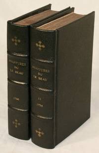
173814194Amsterdam: Herman Uytwerf 1738. First Edition. Hardcover. Good. Two volumes pp. xiv 370 6; 430 6 with six folding plates and a folding map. Modern full-leather with marbled endpapers. Title pages clipped at upper and lower edges; damage with losses to three plates repairs to back of map; all else very good. Le Beau was transported from France to Quebec in 1729 probably on a charge of libertinism. According to his own account he was appointed a clerk in the Beaver Office and then chief clerk in the King's warehouses. Bored and depressed he stole gunpowder from the warehouses and set off for New England. A warrant for his arrest was issued but he escaped encountering many perils natural and human before he reached Boston and eventually sailed for Holland. His ensuing work on his adventures in North America includes much detail on Huron Iroquois and Algonquin customs but its style has been dubbed fanciful. Howes L-167 describes the work as "a basically veracious narrative from competent authorities though somewhat romanticised." The Dictionary of Canadian Biography argues that Le Beau "deserves credit for painting an exact picture of the customs and character of the Canadians" noting that "the best chapters are those that discuss the habits of beaver and the religious ideas of the Indians." Siebert #14; Field 229; Sabin 39582. Herman Uytwerf hardcover books
1796elala1784Quebec: William Vondenvelden 1796. 1796. 4to. pp. 2 p.l. 16 blank leaf. text in French & English on opposite pages. modern wrs. Order in council enforcing the terms of Jays Treaty 1794. The Treaty arranged reciprocal concessions regarding trade and commerce between the United States and British North America and provided for the appointment of a commission to settle the north-eastern boundary and for the withdrawal of British troops from American territory. Tremaine 994. Dionne I 40. Lande 552. TPL 692. Vlach 40. Vlach IP 66. Quebec: William Vondenvelden, 1796. unknown
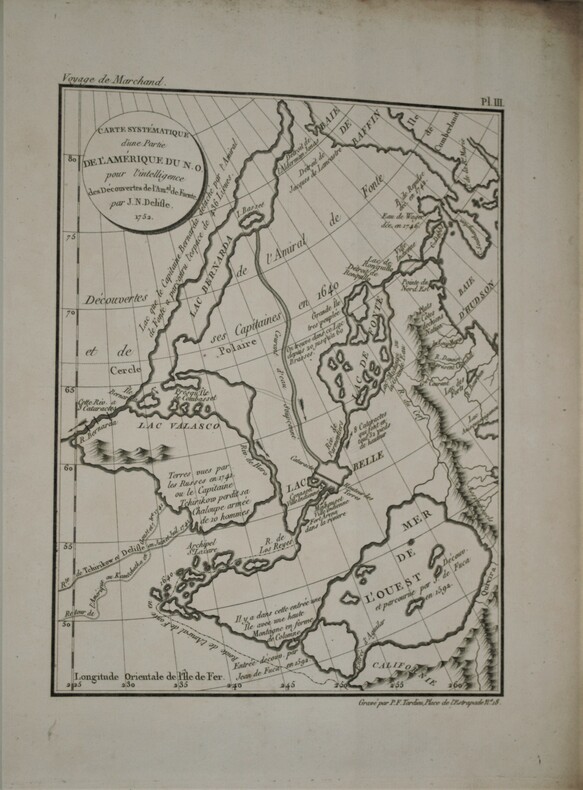
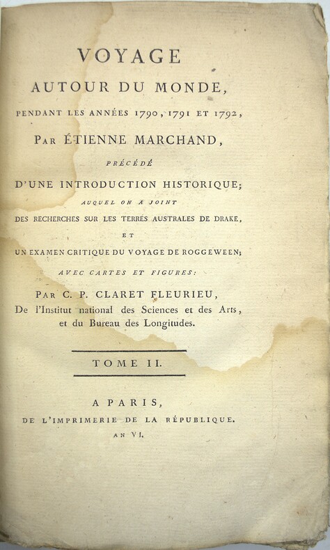
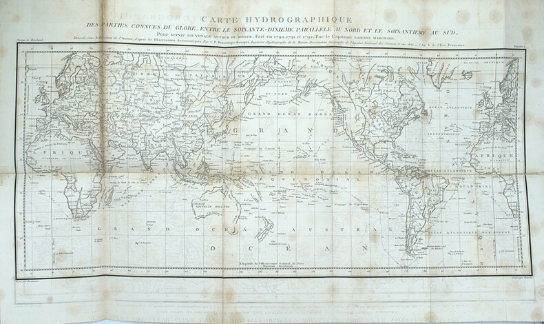
1798PHO-657Paris, De l’Imprimerie de la République, An VI-An VIII [1798-1800]. In-4 (28x22 pour les T.I et II,31,5x24 pour le T .IV) ,xii, cxliv, 628, [3] ; xvi, 676, [2] ;[xi], 431, [1];[2],viii, 158pp, relié couverture d’attente éditeur en cartonnage beige chiné , non rogné , le tome IV n’étant pas ouvert ,défauts d’usage , papier à grandes marges et bruni aux bords ,mouillures au tome III , quelques rousseurs ,tome II reliure demi cuir sous emboîtage à l’identique.Tome I,III et IV premier tirage , Tome II ,1841, ,édition originale remise en vente en 1841 avec un titre de relai portant la mention fictive , "nouvelle édition"(quelques exemplaire imprimés en 1798 n'avaient pas trouver preneur) .L’illustration comprend 16 planches dépliantes gravées sur cuivre, numérotées de I à XV, dont une planche notée VI bis, toutes réunies dans le 4éme tome . Les 15 cartes gravées par Bouclet, Collin, Tardieu, Fortier, etc., levées pour les côtes nord-ouest de l’Amérique du Nord, les îles des Marquesas de Mendoça (îles Marquises), les îles Tupaya (dans l’actuelle Polynésie française), la baie de Tchinkîtâné (actuelle Sitka Sound, près de la ville de Sitka en Alaska), les îles de la Reine-Charlotte (archipel canadien au large de la Colombie-Britannique), les îles Sandwich (Hawaï), le détroit de Magellan, le détroit entre les îles Banca et Billiton (actuelle Belitung) en Indonésie, etc., et une jolie planche à caractère ethnographique (n°V) représentant des échasses de Whûtahô, une des îles de l’archipel des Marquises. Le tome I renferme un tableau dépliant donnant les concordances de mots français avec la langue de Wahîtahô et le tome IV les Observations sur la division hydrographique du Globe .
1798PHO-1092Deuxième reliure de la première édition. Édition originale in-4 sur grand papier, remise en circulation en 1841 avec un nouveau titre avec la mention fictive "nouvelle édition" (quelques exemplaires imprimés en 1798 n'avaient toujours pas trouvé preneur). Une édition octavo en six volumes a également été publiée. in-4 ,y compris l'atlas. Avec 16 (10 dépliantes) dont 15 cartes gravées, 1 planche gravée et table dépliante. - Beau demi-cuir contemp , dos lisse avec titre et tomaison , petits manques au dos , quelques mouillures intermittentes et vieille trace d’humidité (T1), déchirure carte hydrographique sans manque. xii, cxliv, 628, [3] ; xvi, 676, [2] ;[xi], 431, [1];[2],viii, 158pp.
1798PHO-2046Paris, De l’Imprimerie de la République, An VI-An VII [1798-1799]. 5 volumes in-8 (22,5x14cm), 1f.-CCI-1f.-294pp.-1f., VII-529pp. (3 tableaux dépliants), VIII-474pp.1f. (8 tableaux dépliants), VIII-494pp., XII-559pp.-2ff., avec 13 cartes en copies, relié toile moderne, pièce d’auteur, titre et tomaison, non rogné, mouillures.
1798PHO-2367Paris, De l’Imprimerie de la République, An VI-An VII [1798-1799]. Texte : 5 volumes in-8 (22,5x14cm), 1f.-CCI-1f.-294pp.-1f., VII-529pp. (3 tableaux dépliants), VIII-474pp.1f. (8 tableaux dépliants), VIII-494pp., XII-559pp.-2ff., relié toile moderne, pièce d’auteur, titre et tomaison, non rogné, mouillure. Atlas : 1 vol. In4° (4) (26,5x22cm), VIII-158pp.-1f., 15 cartes et 1 gravure. Demi veau, titre et tomaison au dos, frottements, coins usés, accroc au dos, charnière fendillée, piqures sur quelques feuillets et cartes, renforcement et réparation sur 1 carte, la carte 15 en fac-similé Rare édition in-8, parue en même temps en format in-4, accompagné de l’atlas correspondant au tome 4 de l’édition in-4.
1795PHO-2286Paris, chez Buisson, An 3 de la République (1795), 4 volumes Texte : 3 tomes in 8° (21x13,5cm), XXIV-391pp, (4) 386pp, et (4) 371pp., veau raciné époque, dos lisse avec pièces de titre rouge et tomaison noire, tranches dorées, frises aux plats, roulettes interne, petits frottements. Atlas : in-4° (31,5x24cm), titre, table des planches, 28 planches HT, portraits, cartes, plans, vues. Exemplaire à toutes marges. Reliure d’attente, dos manquant, carte détachée avec tache aux plis,
1791LBW-4851[Paris, Mondhare, 1791]. 200 x 258 mm.
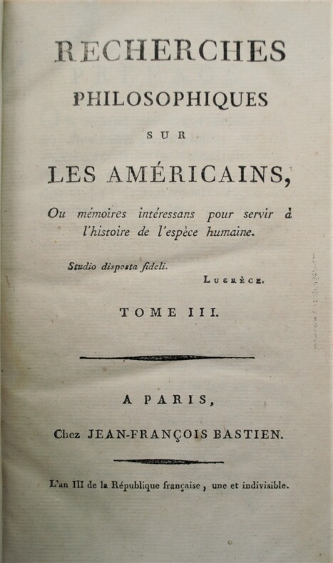
1795PHO-1044Paris : Bastien, An III. (1795) 7 volumes in-8 ; AVEC , PAUW recherches philosophiques sur les Américains , An III , 3 volumes in-8 , XIV-421pp, 475pp,482pp. AVEC : PAUW : Recherches philosophiques sur les Égyptiens et les Chinois. Paris : Bastien, An III, 2 volumes in-8, carte dépliante (déchurure sans manque), XVIff,472pp , 466pp; AVEC : PAUW : Recherches philosophiques sur les Grecs. Paris : Bastien, An III, 2 volumes in-8 , XVI-400pp,366pp . Reliure d’époque en basane marbrée, dos lisse orné avec titre et tomaison , quelques manques de cuir , petit travail de ver sur 10ff ,Tome 1.
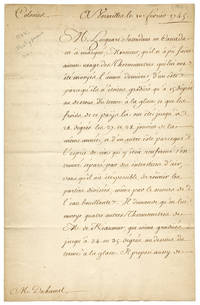
1745WRCAM51842Paris 1745. 2pp. on a folded sheet. In French. Previously folded. Two small holes along folds of blank leaf. Light foxing and tanning. Very good. An entertaining letter written in 1745 by French minister Jean-Frédéric Phélypeaux Comte de Maurepas to scientist Henri-Louis Duhamel du Monceau at Versailles requesting on behalf of Gilles Hocquart the Intendant of New France in Canada that new thermometers and other scientific instruments be sent to Quebec. The author notes that although the old thermometers were graded to measure temperatures down to -15° on the Réaumur scale it had in fact only recently been -27° or -28°. Even if the thermometers had been able to measure temperatures that low according to Maurepas the cold had caused the measuring liquid inside the instruments to separate permanently rendering them useless in any event. He therefore asks that four new Réaumur thermometers capable of measuring down to - 35° be sent along with several astronomical instruments for making navigational observations. unknown books
1760PHO-12672 ouvrages en un vol. in-12, rel. d'époque, plein cuir marbré ,dorure sur les coupes, dos à 5 nerfs, caissons ornés de fleurons dorés, titre dans une pièce de cuir marron, trois tranches rouges. Rousseurs, mouillures , manque la pièce de titre, coiffe sup. usé et fente intérieure
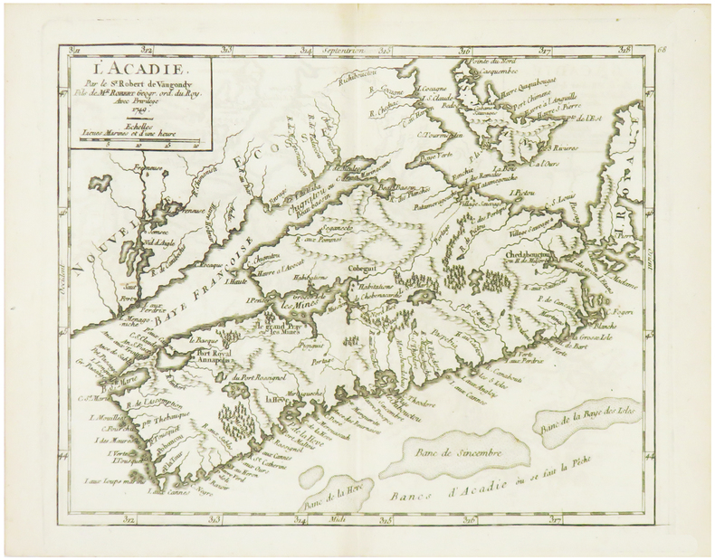
1749LBW024d51749. 162 x 202 mm.