605 résultats
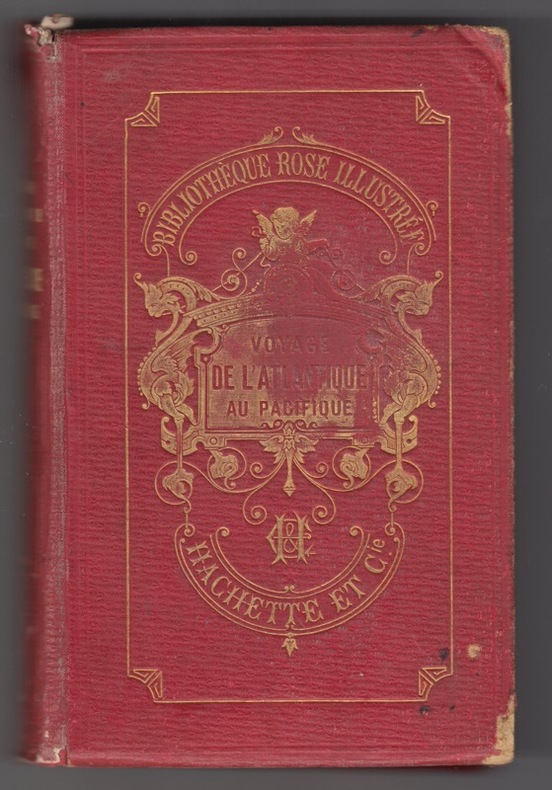
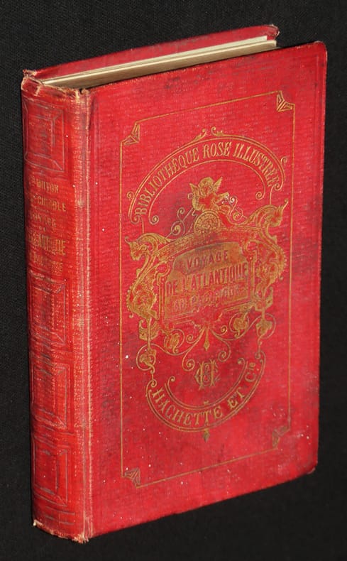
1872vf817Librairie Hachette et Cie Bibliothèque Rose illustrée Cartonnage d'éditeur 1872 In-12 (12 x 18 cm), cartonnage toilé de l'éditeur, tranches dorées, 312 pages, deux cartes dépliantes in fine, ouvrage peu courant dans cette collection, texte traduit et abrégé de l'anglais par J. Belin-de Launay ; frottements aux coiffes, mors et coins, premier plat sali, ex-libris manuscrits, par ailleurs intérieur bien conservé, assez bon état général. Livraison a domicile (La Poste) ou en Mondial Relay sur simple demande.
1866003178Hachette et Cie (Imprimerie Générale de Ch. Lahure), 1866
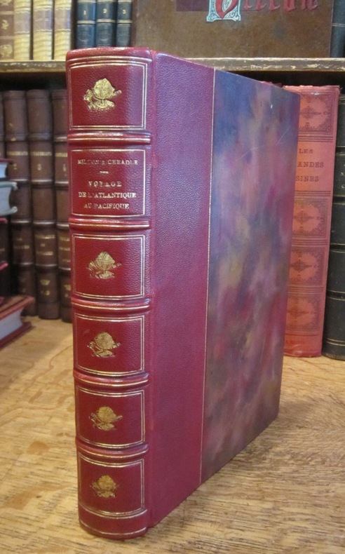
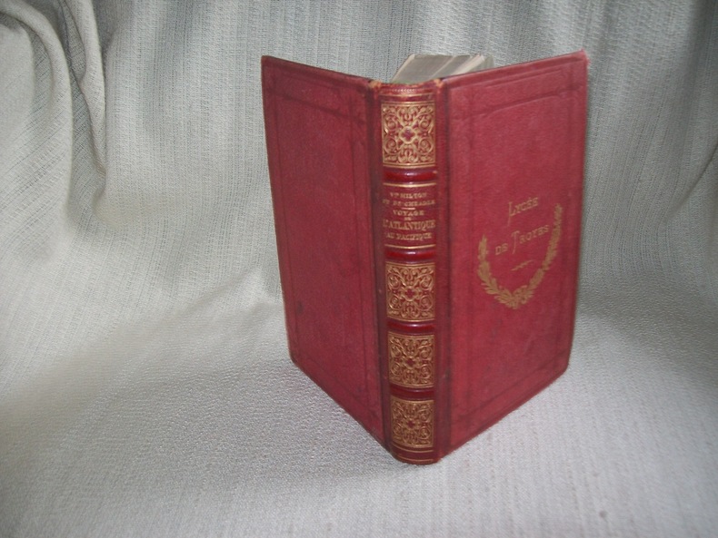
1884GIT00415Paris Hachette et Cie 1884. In-18 XXXI 315p .Demi chagrin rouge, dos à nerfs orné de compartiments dorés, fers de lycée dorés sur le 1er plat, rel époque. Orné de 4 gravures hors texte, 1 carte dépliante. Ancienne caricature féminine au crayon violet sur un feuillet blanc, quelques pâles rousseurs par endroits. Bel exemplaire bien relié et décoratif.
186650013Paris, Librairie de L. Hachette et Cie 1866 In-8 24 x 15 cm. Reliure éditeur demi-chagrin noir, dos à faux-nerfs encadrés de fers dorés, tranches dorées, 387 pp., tabledes matières. Rousseurs marginales.
186687815Paris, Librairie de L. Hachette et Cie 1866 In-8 24 x 15 cm. Reliure éditeur demi-chagrin vert foncé, dos à faux-nerfs encadré petits fers dorés, tranches dorées, 387 pp., 22 gravures sur bois hors texte, 2 cartes, table des matières. Rousseurs marginales, coins émoussés. Bon exemplaire.
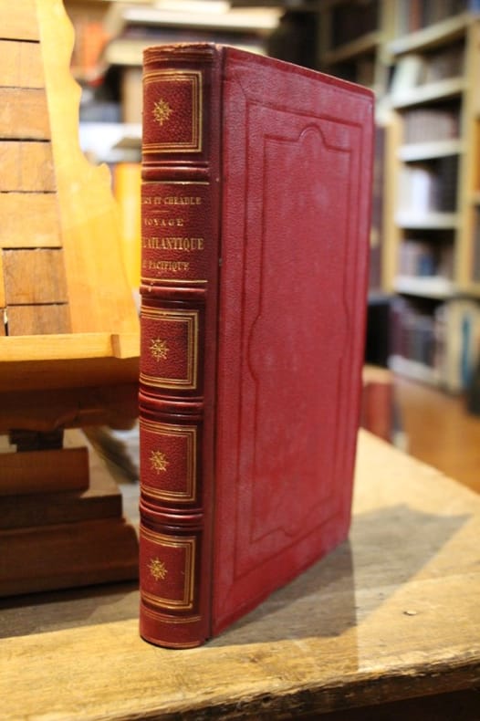
186696768Paris, Librairie de L. Hachette et Cie 1866 In-8 24 x 15 cm. Reliure éditeur demi-chagrin rouge, dos à faux-nerfs encadrés de fers dorés, tranches dorées, 387 pp., table des matières. Exemplaire en très bon état, gouttière très régulière, intérieur très frais.
1872171871872 Paris, Librairie de L. Hachette et Cie, 1872,Bibliotheque Rose illustree; vol. in-8° (232 x 150 mm) de [4 ff.] (faux-titre, titre, dédicace, table des gravures), 387 pp. ; 2 cartes, 22 planches hors texte. tranches dorés. traduction française par J. Belin-De Launay de ce récit très vivant d’une expédition à travers le Canada, les montagnes rocheuses vers la Colombie britannique. Sabin 49144
189056230ABParis, Armand Colin et Cie Editeurs, 1890. 8° (18x12), viii, 273 p., avec illustrations sur planches, relure d'epoche demi cuir, dos peu frotte, tres bon etat,
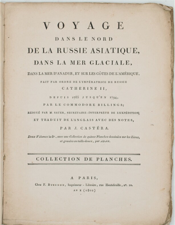
1802PHO-1231Paris, F. Buisson, et Giguen, an X – 1802. In-4, broché ,titre sur le plat Atlas seul contenant 14 planches gravées (vues, costumes) et une carte dépliante du détroit qui sépare l'Asie de l'Amérique. Bon exemplaire.
1802PHO-1648Paris, F. Buisson, et Giguen, an X – 1802. 2 volumes de texte in-8° (210x130mm), relié pleine toile époque, dos lisse. XXIV-385pp ; 417pp. et un Atlas In-4, broché, titre sur le plat contenant 14 planches gravées (vues, costumes) et une carte dépliante du détroit qui sépare l'Asie de l'Amérique. Bon exemplaire.
184146404515Paris, Furne, 1841 ; grand in-8, demi-chagrin rouge, coins, dos orné, tranches dorées. (Reliure de l’époque). 2 ff., XVI pp., 568 pp.2 grandes cartes dépliantes et 133 planches hors-texte gravées sur acier (la plupart avec 2 illustrations) d’après les dessins de M. de SAINSON, dessinateur du voyage de l’Astrolabe, et de Jules BOILLY.La plus grande partie du volume (pp. 1 à 464) concerne les Antilles, Cuba, les Guyanes, la Colombie, le Brésil, le Paraguay, l’Argentine, la Patagonie, le Chili, la Bolivie, le Pérou, le Guatemala, le Mexique. Les États-Unis du Nord, le Canada, la Groënland occupent les pp. 465-550. Comme le souligne Sabin 57458, les illustrations sont d’un grand intérêt pour tout ce qui concerne les moeurs, les costumes des tribus indiennes d’Amérique du Sud et du Mexique. Quelques rousseurs sans gravité dans le corps du volume, plus forte sur les 2 premières pages.
186134064Paris L. Hachette 1861 in-16 demi-basane fauve, dos lisse orné de filets dorés, [Rel. de l'époque]
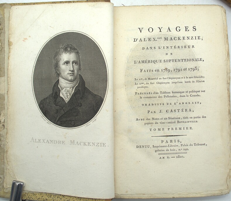
1802PHO-2218Paris, Dentu, an X (1802), 4 volumes in-8 reliés demi cuir, dos lisses ornés avec titre et tomaison, XX + 409 + 420 + 388 pages illustrées d'un portrait de l'auteur, en frontispice, par Laurence gravé par Adam, et de 2 grandes cartes sur 3 (déchirures, mouillures), le tome I contient un vocabulaire Algonquin, Knisteneaux et Chipiouyane et le tome 4 contient les cartes. Tome 1 reliure différente (non rogné), plats frottés, coins usés, charnières usées, coiffe arasée, bords de la reliure du tome 1 abimés, rousseurs, petite mouillure.
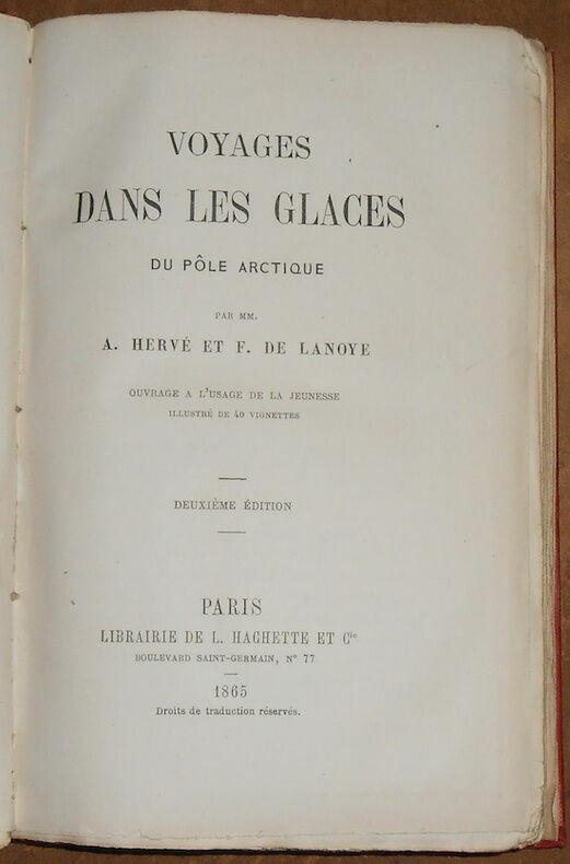
1865170451865. Paris Librairie de L. Hachette et Cie 1865 - Relié 12 cm x 19 cm 271 pages 40 ills noir & blanc in et hors-texte 2 cartes hors-texte - Texte de A. Hervé et F. de Lanoye - Bon état
1843088140Quebec: William Cowan et Fils 1843. Leather Bound. pp. 130. 8vo. Quarterbound with black leather and gilt lettering to spine over green marbled boards. Text in French. Fold out map. Scuffing rubber stamps to endpapers and title page light penciling throughout; very good. De la description de Quebec et de ses environs en 1680 et de divers extraits relativement au lieu de l'hivernment de Jacques Quartier en 1535-36. A description of Quebec and its surroundings in 1680 and the various extracts relative to where Jacques Quartier spent the winter from 1535-36. William Cowan et Fils unknown
183029540Paris Imprimé aux frais du gouvernement pour donner du travail aux ouvriers typographes août 1830 2 vol. in-8 déreliés
1801079699London: T. Cadell Jun. & W. Davies 1801. First edition. Leather Bound. 4to. 20th century fine leather binding. Folding maps with expert repairs. Wagner-Camp notes that 'Mackenzie discovered the river that now bears his name and descended it to the Arctic Ocean in 1789. In 1793 he became the first European to cross the North American continent north of Mexico'. Peel 55: "After the preface there follow 132 pages on the history of the fur trade in the North West. Some authorities think this was written by his cousin Roderick MacKenzie. According to the Dictionary of National Biography Voyages 1801 was compiled by William Combe from Mackenzie's notes. Includes vocabularies of the Knisteneaux Algonquin Chepewyan Nagailer and Atnah Indian languages." Sabin 43414 calls this the "first and finest edition T. Cadell, Jun. & W. Davies unknown
1897123a4300Toronto/London: James Hope & Co. The Copp-Clark Co. Bernard Quaritch 1897. Book. Good. Hardcover. First Edition. 4to - over 9¾" - 12" tall. 139-268 467-548 1-30pp. From the transactions of The Royal Society of Canada For 1897. Moderate wear. Bit of writing inside front board else unmarked. Narrow openings to binding in two places. Tears to two large fold-outs. Hinges intact. James Hope & Co., The Copp-Clark Co., Bernard Quaritch Hardcover
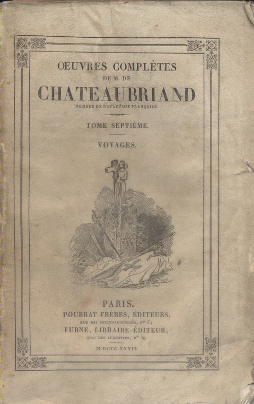
1833GITa847Paris Pourrat Frères 1833. In-8 LIX 464pp. Demi chagrin aubergine, dos lisse sans indication de tomaison, orné de fers rocaille dorés, tranches marbrées, rel époque. Bel exemplaire, intérieur frais.
1833GIT-0Paris Pourrat Frères 1833. In-8 LIX 464pp. Demi basane aubergine, dos lisse sans indication de tomaison, orné de fers rocaille, frise en queue, tranches marbrées, rel époque. Bel exemplaire, intérieur frais.
183760427Couverture souple. Broché. 356 pages. Rousseurs. Couverture défraîchie.
186223474Leipzig: Verlag von Heinrich Matthes 1862. Hardcover. Very good. First German edition of Paul Kane's "Wanderings of an Artist among the Indians of North America". 8.25" x 6" pp xii 1-225 2 ad pp illustrated with 4 chromolithograph plates additional illustrations in the text. Bound in roughly contemporary quarter cloth and marbled boards with no lettering on spine. Binding sound scattered foxing throughout. Recounts Kane's travels in the Red River settlement Saskatchewan across the Rockies and down the Columbia River to Puget Sound and Vancouver Island.Howes K-7; Sabin 37008. Verlag von Heinrich Matthes hardcover
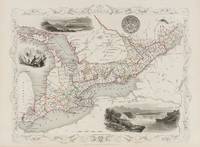
18512015AG1851. London & New York J & F. Tallis 1851. Original steel engraving / Vintage map. Drawn and engraved by John Rapkin. Partly hand-coloured. Plate Size: 32.2 cm x 25 cm. Sheet Size: 37.7 cm x 27.2 cm. Vintage 19th century map in very good condition. John Tallis 7 November 1817 3 June 1876 was an English cartographic publisher. His company John Tallis and Company published views maps and atlases in London from roughly 1838 to 1851. Tallis set up as a publisher with Frederick Tallis in Cripplegate in 1842; the business moved to Smithfield in 1846 and was dissolved in 1849. From 1851 to 1854 Tallis operated as John Tallis and Company. He started The illustrated news of the world and national portrait gallery of eminent personages in 1858 selling it for £1370 in 1861; it folded in 1863. Wikipedia The most important project John Tallis undertook was the 'Illustrated Atlas' from 1851. The original map we offer here was part of this exceptional Atlas and all the maps it contained are still today considered as the last reminder of an era of lavish map production. Tallis worked the project together with John Rapkin 1815-1876 and it was Rapkin's style and talent that we have to thank for when we marvel at these maps today. What makes these maps so special is the detail of engraved vignettes that surround the map and often show indigenous scenes people in their environment and even more so historical buildings or historical views of towns and cities architecture and landscape. The project of 'The Illustrated Atlas' was designed to be finished just in time for the anxiously awaited "Great Exhibition of the Works of Industry of All Nations" or The Great Exhibition sometimes referred to as the Crystal Palace Exhibition in reference to the temporary structure in which it was held was an international exhibition that took place in Hyde Park London from 1 May to 11 October 1851. It was the first in a series of World's Fairs exhibitions of culture and industry that became popular in the 19th century and it was a much anticipated event. The Great Exhibition was organized by Henry Cole and Prince Albert husband of the reigning monarch Queen Victoria. It was attended by numerous notable figures of the time including Charles Darwin Samuel Colt members of the Orléanist Royal Family and the writers Charlotte Brontë Charles Dickens Lewis Carroll George Eliot and Alfred Tennyson. Music for the opening was under the direction of Sir George Thomas Smart and the continuous music from the exhibited organs for the Queen's procession was "under the superintendence of William Sterndale Bennett". Wikipedia unknown
1856193721London: Chapman and Hall 1856. First edition. Hardcover. Good/No Dustjacket. 8vo. pp. xvi 343; viii 324 two volume set binding on volume one starting to crack but holding together Chapman and Hall hardcover
1838217a7706London: Saunders and Otley 1838. Book. Fair. Hardcover. First Edition. 12mo - over 6¾" - 7¾" tall. 356 pages plus advertisements. Marbled boards. Unmarked. Binding cracked at Table of Contents. Lettering upon spine worn but legible. Significant but not excessive external wear. Saunders and Otley Hardcover