CHAPPE D'AUTEROCHE, JeanLivre Rare Book
8 résultats
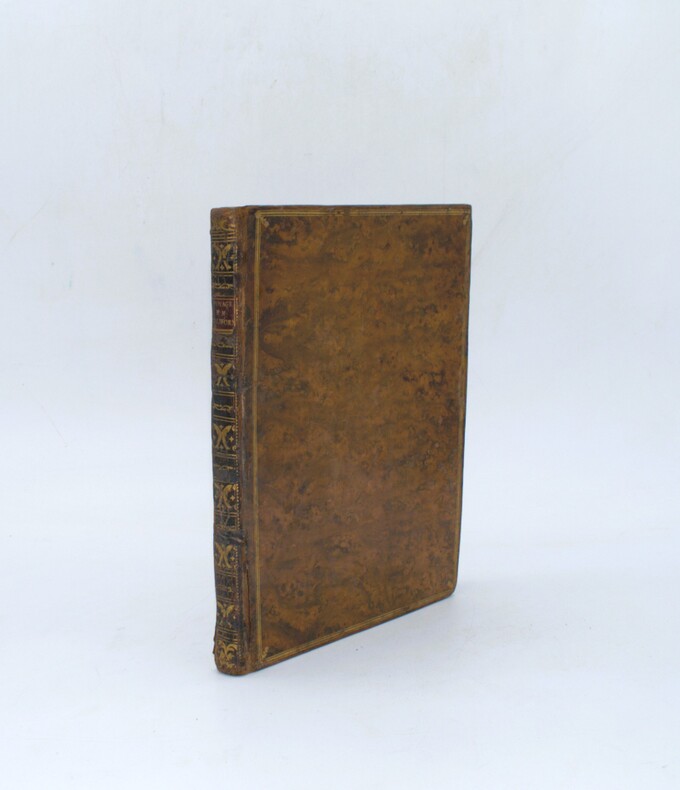
1772PHO-2432Paris, Charles-Antoine Jombert, 1772. In-4 (25,5x20cm), 2ff.-170 pp.-1f., Veau marbré époque, dos lisse orné avec pièce de titre en maroquin rouge, triples filets aux plats avec fleurs en écoinçons, tranches marbrées bleues. Dos frotté, début de fentes, petit trou de ver au dernier plat, petit travail de ver en marge, mouillure par intermittence. Complet avec 1 grand plan, 1 tableau dépliant et 3 planches hors texte.
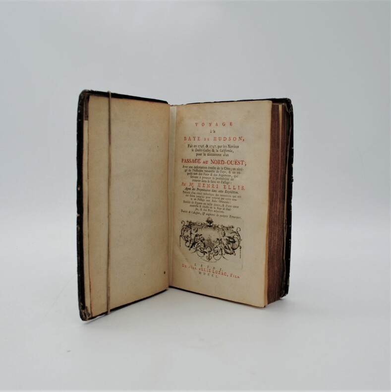
1750PHO-7481750 , à Leide chez Elie Luzac , Fils .In-8(21x13,5cm),XXVIII pp. 413pp. 1ff. errata 6ff. non ch., catalogue illustré de 9 pl. dépliantes la pl.1 n'a pas été reliée dans ce livre, page de titre réparée. Cartonnage d'époque. Charnières faibles, tranches rouges, coins usés. French translation of the travels of Henri Ellis to discover the passage of North-Ouest.
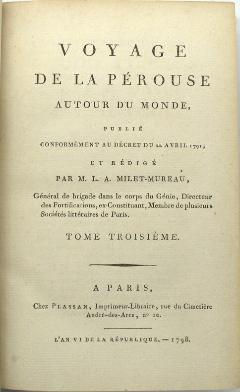
1798PHO-1899Paris, Plassan, 1798, 4 volumes in-8, relié demi chagrin (19eme), dos à nerfs avec titre, manque de papier en coin en fin du tome 1, mouillure claire en début et fin du tome 4, dos insolé. Bon exemplaire
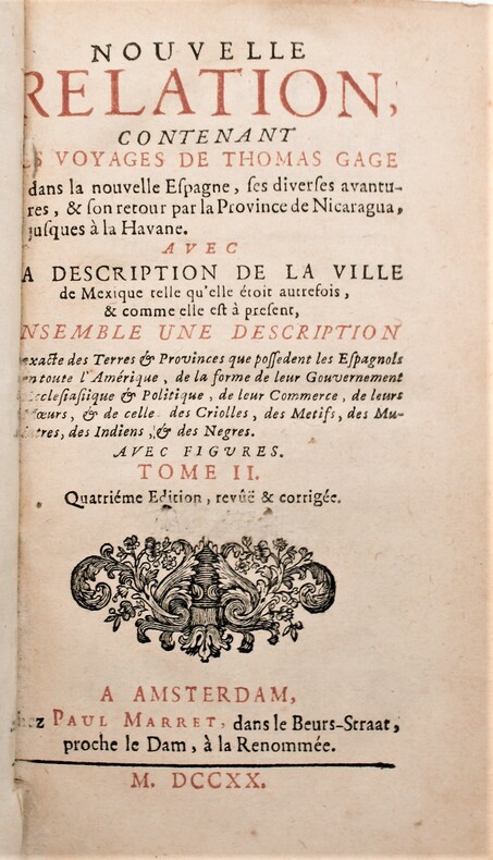
1720P2-7B-8Amsterdam, Paul Marret, 1720. 2 volumes in-12,, (13) ff , 431 pp , (5) ff , 360 pp. , relié plein veau époque , dos à nerfs ornés avec pièces de titre et tomaison rouge. Tranches rouges, charnière fendue tome1,léger manque à la coiffe du tome 2 , ex-libris de A. t’Sterstevens , écrivain belge avec ses notes. Quatrième édition, revue et corrigée, de la traduction de M. de Beaulieu.
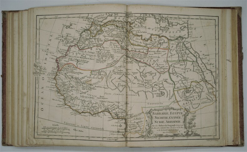
1790PHO-731Paris: Chez de S. Delamarche, Géographe, Rue du Foin St. Jacques, au Collège de Mtre. Gervais, 1790. in-4 (230x280) ,relié demi-daim époque , manque sur un coté [1-2, titre gravé] 3-6 [introduction gravée], [4, tableaux et listes gravés], 52 cartes doubles, gravées sur cuivre avec cartouches ornées, couleur du contour d'origine, gravées par E. Dussy, en fin d’ouvrage une grande carte dépliante de la Grèce par Barbié du bocage. rare atlas mis à jour par François Delamarche qui avait repris le fond de Robert de Vaugondy. Commentaires au crayon d’époque sur le dos de quelques cartes , quelques mouillures et taches, réparation au titre et à une carte.
1780PHO-1695Paris, J. G. Mérigot le jeune, 1780-1781. 20 volumes (sur 26 : manquent les tomes 7, 10, 12, 21, 25, 26) in 12, basane marbrée de l'époque, dos lisses ornés, pièces en maroquin orangé, coupes ciselées, quelques épidermures superficielles, défauts aux coiffes supérieures des volumes 5, 6, 17, 19, mors fendus ou fendillés en tête des volumes 1, 11, 20, quelques coins émoussés, rares rousseurs et taches – Tome I : xxiv, 452 pp., manque le dernier feuillet de table, 2 planches dépliantes ; Tome II : manquent faux-titre et titre, 483 pp., manque marginal à 2 feuillets avec perte de texte pour un feuillet, restauration marginale à 3 ff. ; Tome III : [2 ff.], 480 pp. ; Tome IV : [2 ff.], 496 pp., 3 planches dont 2 dépliantes ; Tome V : manquent fx-titre et titre, 534 pp., 4 planches dépliantes (sur 8) ; Tome VI : [2 ff.], xxviij, 424 pp., 1 planche ; Tome VIII : [2 ff.], 424 pp., 5 planches dépliantes ; Tome IX : 416 pp., manque la planche ; Tome XI : 423 pp. : Tome XIII : 463 pp., 1 planche dépliante ; Tome XIV : 400 pp., 2 planches dépliantes ; Tome XV : 430 pp., 4 planches dépliantes ; Tome XVI : xxxvj, 438 pp., 1 planche dépliante Les tomes I-V contiennent les Mémoires du Levant, les tomes VI-IX ceux d'Amérique, les tomes X-XV ceux des Indes, les tomes XVI-XXI ceux de la Chine, parmi les auteurs des lettres , on trouve pour la Chine, les pères Contancin, Premare, Parennin, Gaubil, d'Entrecolles, Amiot et Cibot; pour les Indes orientales, les pères Bouchet, Tachard, Pons, Martin, de Bourzes; pour les Amériques, les pères Rasles, Marest, du Poisson, Le Petit, Fauque, Lombard, Chômé; pour le Levant, les pères Siccard, Souciet, Chaber .
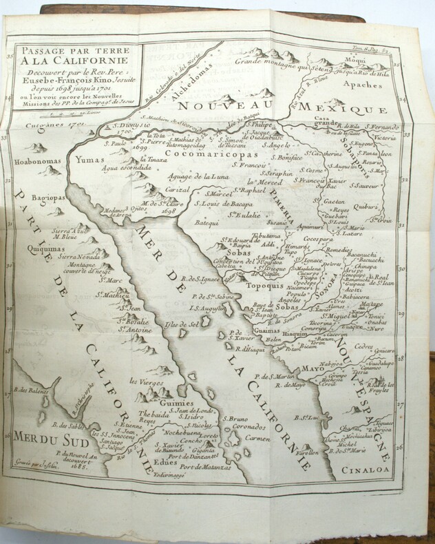
1772vj1258A Paris chez L. Cellot Relié 1772 In-12 (10,5 x 17 cm), reliure plein veau, dos à 5 nerfs orné d'une pièce de titre et de tomaison et de caissons dorés, tranches rouges, gardes couleur, 475 pages, 4e édition, tome 10 seul contenant les chapitres sur la Louisiane, le Mexique et la Californie ; travail de vers de la page 343 à 412 gênant un peu la lecture des trois premières lignes de la page 353 à 408, par ailleurs intérieur frais, en l'état. Livraison a domicile (La Poste) ou en Mondial Relay sur simple demande.
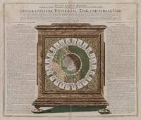
1735200052AG1735. Nürnberg Homann c.1735. Original hand-coloured engraving with the Cartographer showing California as an Island. Plate Size: 57 cm x 48.5 cm. Sheet Size: 60.5 cm x 51.7 cm. Original map. Very good actually stunning condition. Some faint trace of browning to upper corners of sheet. Very minor tears to edges at centre-fold. A breath-taking illustration of a geographical clock by Zacharias Landteck who manufactured it in Nuremberg in the early 18th Century. Landteck's remarkable clock demonstrated the use of time to determine longitude a recurring problem for navigators and cartographers in the 18th and earlier centuries that was ultimately solved by John Harrison's marine clocks in the 1730s. Astronomical clock showing the northern hemisphere in day and night during the course of sun and earth for 24 hours. The German text to the left and right of clock explains the astronomical connections. It is surrounded by the Zodiac symbols and their corresponding calendar months. At the centre of the face is a polar projection of the Northern Hemisphere with the Eurasian the northern portion of the African and North American landmasses shown. Islands such as Greenland Iceland the Canaries the Caribbean islands and the Philippines can also be seen. Interestingly California is shown as an island. Regions such as Florida Nova Mexico Siberia and Tartaria are included as are the names of major cities such as Manila Peking Jerusalem Aleppo Constantinople Copenhagen Amsterdam London and Dublin. Much of Western Europe and North America are in starlit darkness while Asia enjoys the sun's rays. Johann Baptist Homann 1663-1724 was a mapmaker who founded the famous Homann Heirs publishing company. He spent his life in Bavaria especially in Nuremberg. Initially Johann trained to become a priest before converting to Protestantism and working as a notary. In 1702 Homann founded a publishing house that specialized in engravings. The firm flourished becoming the leading map publisher in Germany and an important player in the European map market. In 1715 Johann was named Imperial Geographer to the Holy Roman Empire by Charles VI and made a member of the Prussian Academy of Sciences. Most significantly for his business his reputation and contacts gained him Imperial printing privileges which protected his publications and recommended him to customers. Johann is best known for this Grosser Atlas ueber die ganze Welt or the Grand Atlas of the World published in 1716. After Johann died in 1724 the business passed to his son Christoph 1703-1730. Upon Christoph's early death the company passed to subsequent heirs with the name of the company changing to Homann Erben or Homann Heirs. The firm continued operating until 1848. unknown