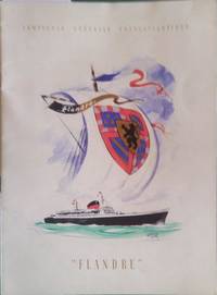
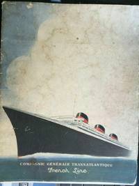
COMPAGNIE GENERALE TRANSATLANTIQUEBiblio.com
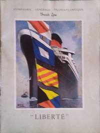
7 résultats
1960148310C.G.T 1960. Paperback. Couverture illustrée par Edouard Collin. <b>Livre en français</b>. Couverture souple. Brochure 21 x 27 cm. 36 pages. <i>ref. 148310</i> C.G.T paperback
1960148307C.G.T 1960. Paperback. Couverture illustrée par Edouard Collin. <b>Livre en français</b>. Couverture souple. Brochure 21 x 27 cm. 32 pages. <i>ref. 148307</i> C.G.T paperback
1955148728C.G.T 1955. Paperback. Couverture illustrée par Marin-Marie. <b>Livre en français</b>. Couverture souple. Brochure 21 x 27 cm. 16 pages. <i>ref. 148728</i> C.G.T paperback
1960148729C.G.T 1960. Paperback. Illustration double page par Marin-Marie. <b>Livre en français</b>. Couverture souple. Brochure 21 x 27 cm. 16 pages. <i>ref. 148729</i> C.G.T paperback
1960148730C.G.T 1960. Paperback. Illustration double page par Marin-Marie. <b>Livre en français</b>. Couverture souple. Brochure 21 x 27 cm. 32 pages. <i>ref. 148730</i> C.G.T paperback
19354000099491935. 1935. Bon état unknown
19509752Paris Editions Blondel la Rougery 1950. Route map of the western Mediterranean and Northwest Africa 63.5 x 99 cm printed in three colours lined on linen. Shows the routes from Marseille and Bordeaux to Tunisia Alergira and Morocco with considerable detail of the road network inland. Decorative elements include a compass rose a matelot steering a ships wheel and a couple of steamships in the upper border. Map unknown