Völkischer Beobachter (Herausgeber):MareMagnum
Basler, Heinrich / Festorazzo, ThAntiquariat.de

Georg Fritsch Antiquariat · AT - Wien180,00 €
2 691 résultats
(ca. 55 x 41 cm). 1 ausfaltbare Karte. Zweifach gefaltete Karte (schwarz/weiss) mit Titel oberhalb der Kartenansicht. Karte ganz leicht rissig an den Faltlinien, rückseitig mit Bleistiftnotaten. Insgesamt gut bis sehr gut erhalten. Die Karte wurde zwischen Herbst 1938 und Sommer 1939 vom NSDAP-Zeitungsorgan "Völkischen Beobachter" herausgegeben. Sie zeigt die Republik Polen in den Grenzen der Vorkriegszeit, also noch vor der Teilung durch Sowjetunion und dem Deutschen Reich. Zu Polen gehörte zu dieser Zeit beispielsweise noch die bedeutende Stadt Lemberg (heute in der Ukraine). Das Deutsche Reich war hier bereits um Österreich erweitert, Wien liegt innerhalb der Landesgrenzen. Sehr wahrscheinlich diente die Karte der Kriegsvorbereitung mit publizistischen Mitteln. Sehr seltenes Relikt der NS-Propaganda kurz vor Kriegsbeginn!
1975-03o.J. Kupferstich. 30 x 36,5 cm. Mit Staffage, Zelt-, Lager- und Kameldarstellungen. 2fach gefalt. Beschnitten, kl. Loch in der unteren Ecke.
2000-03o.J. Kupferstich. 22 x 29 cm (Bildausschnitt). Mit 1 Stadtansicht von Maastricht und 1 Staffage.
48 pages. Includes 11 pages of nice black and white photos of the group. Includes piano sheet music, lyrics and guitar chords for these songs: A 'Soalin'; Blowin' in the Wind; Day is Done; Don't Think Twice, It's All Right; Early Mornin' Rain; For Lovin' Me (That's What You Get); Freight Train; I Dig Rock and Roll Music; Leavingk, On a Jet Plane; Lemon Tree; Puff (the Magic Dragon); Stewball; Too Much of Nothing. Average wear. Few markings to contents. A sound vintage copy. Book
in-8°, 229 pp., photos h.t. N/B, -, broche, couverture, jaquette illustree plastifiee. Tres bel exemplaire, très frais. [CA31-7]
193017416BBerlin:, Verlag Berliner Morgenpost., [um 1930]. 74 S. Original Karton mit Rückentitel und mehrfarbig illustriertem Deckeltitel. Einband etwas berieben und fleckig, durchgehend etwas feuchtrandig, Bindung gelockert, S. 69-72 am Stück lose, stellenweise Fingerspuren, sonst noch in Ordnung.
74 S. Original Karton mit Rückentitel und mehrfarbig illustriertem Deckeltitel. Einband etwas berieben und fleckig, durchgehend etwas feuchtrandig, Bindung gelockert, S. 69-72 am Stück lose, stellenweise Fingerspuren, sonst noch in Ordnung. Enthält zahlreiche farbige Kartenabbildungen, ein alphabethisches Verzeichnis der Orte und Ausflugs-Ziele, sowie einen Übersichtsplan der öffentlichen Verkehrslinien.
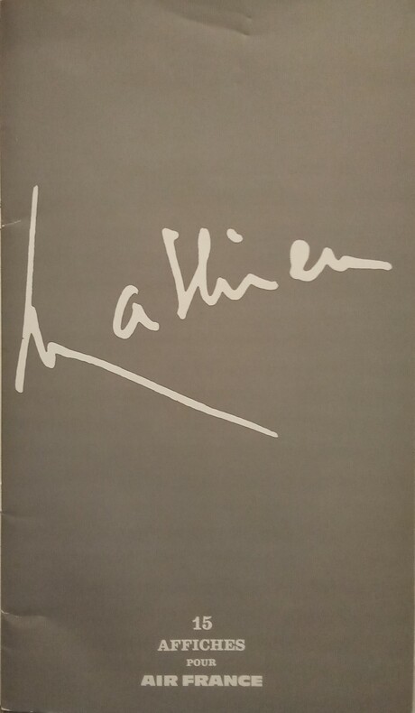
1967WOC-1413Air France, 1967. Grand in-4 (36x21cm) allongé de cartonnage souple blanches illustré en rouge et or.
VIEN0941o.J. Frei-Exemplar "Orientirungs-Plan des Central-Friedhofes der Stadt Wien" III. Theil. Hrsg. Wien, Stockinger & Morsack ca. 1890. 95x63,5 cm; 24 Segmente, gefaltet, mit Grabausweis Rotter, Nikolaus; Frei-Exemplar "Orientirungs-Plan des Central-Friedhofes der Stadt Wien". Hrsg. Wien, Stockinger & Morsack ca. 1890. 76x54,5 cm; 18 Segmente, gefaltet, mit Grabausweis Rotter, Cäzilie. Beide Pläne jeweils an den Faltungen etwas rissig, Gebrauchsspuren. Die Beilagen sind ein Blatt hs. Volks-Hymne (Österr. Kaiserhymne), 2 Grabausweise, 1 Volkszählungsausweis von 1854, 1 Zeugnis der Wiener Communal-Oberrealschule im I. Bezirke für Rotter August, dat. 1878.
1983mc199Larousse Maquette Larousse Brochure 1983 In-8, (30x24 cm), brochure, couverture illustrée, planches à découper, en couleurs, petit texte historique au début et à la fin de la brochure, reproduction exacte de la maquette au 1/30e ; très bon état. Livraison a domicile (La Poste) ou en Mondial Relay sur simple demande.
CAA117Catalogue 26x18 cm, 16 pages, photos, croquis, graphiques, broché. Couverture couleurs.
18981732-18[Wien, K. u. k. militär-geographisches Institut ca. 1898]. 38 x 51 cm. Lithogr. Karte auf Leinen gezogen.
18981733-18[Wien, K. u. k. militär-geographisches Institut ca. 1898]. 38 x 51 cm. Lihogr. Karte auf Leinen gezogen. Gefalt.
RES29L140dijon base aerienne 102 0 in4 broché 116pp - très nombreuses photograhies -
RES29L140dijon base aerienne 102 0 in4 broché 116pp - très nombreuses photograhies -
1133711945 et 1946 Editions Sociales Françaises - 1945 et 1946 - Reliure amateur, deux fascicules indépendants ont été reliés à une couverture cartonnée amateur illustrée, cartonnage format in-8 - Premier fascicule sans pagination, 62 p. pour le second fascicule - 11 photos et 42 dessins en N&B dans le premier fascicule, 17 photos et 42 dessins dans le second
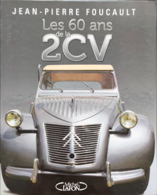
200814675MICHEL LAFON 2008 141 pages 25 6x1 8x30 6cm. 2008. Reliure editeur cartonnée. 141 pages.
7882Cepadues-Editions Toulouse 1998
22263Paris, Le cherche midi, 1990. In-8 (305x215mm) relié en cartonnage d'éditeur bleu ill., 63 p. Ill. et photos en noir et en couleurs in et h.t. Très bon état général Envoi de l'auteur.
84924Nürnberg, MIBA-Verlag, o. J. 62 S. 8° Oktav, Softcover/Paperback
187344793Wien, Herausgegeben vom k. k. milit. geografischen Institute, 1873. 15 lithogr. Teilkarten mit je 4-6 auf Leinen aufgezogenen Segmenten, gefalt. in Kart.-Umschlag u. HLwd.-Schuber d. Zt. m. goldgepr. u. handschriftl. Rückenschild (?Umgebung von Graz?).
18940524-23o. O., Vlg. 1894. 44, 5 x 55 cm. gefalt. Karte auf Leinen gezogen. Grenzverlauf rot markiert.
Fine Turkish, Ottoman (1500-1928) In contemporary dark green cloth bdg. Two volumes in one. Foolscap 8vo. (18 x 12 cm). In Ottoman script. 2 volumes set: (64 p.; 64 p.), b/w ills. AH 1330-1331 = AD 1914-1915. First and Only Edition of this book on the plane geometry in the Imperial Ottoman. Set is very scarce. Mustafa Salim was a teacher and an engineer having grown up during the Ottoman period and his work called "Hesâb-i Asgar-i Nâmütenâhiyat" as well which was the first work on 'the differential calculus'. He gave lectures on differential and integral calculations, high algebra, technical mechanic, and mathematical mechanic at Hendese-i Mülkiye-i Sâhâne, Darul Funun (House of Sciences), and Darüssafaka, which were outstanding schools of the time. This work is one of the earliest plane geometry. This work includes the applications of the geometry lesson taught in the first year of the Idadîye schools which was written with Darüssafaka and Engineering School Teacher Hasan Fehmi Çayköy. First Edition. Özege 7291.; Only two copies in OCLC: 949534124 (Bogaziçi University Library, Istanbul) and 850849216 (ITU Library, Istanbul).
Very Good Turkish, Ottoman (1500-1928) Original red wrappers. Foolscap 8vo. (18 x 12 cm). In Ottoman script. 64 p., b/w ills. AH 1330 = AD 1914. This is the only first volume of two. First and Only Edition of this book on the plane geometry in the Imperial Ottoman. Mustafa Salim was a teacher and an engineer having grown up during the Ottoman period and his work called "Hesâb-i Asgar-i Nâmütenâhiyat" as well was the first work on 'differential calculus.' He gave lectures on differential and integral calculations, high algebra, technical mechanic, and mathematical mechanic at Hendese-i Mülkiye-i Sâhâne, Darul Funun (House of Sciences), and Darüssafaka, which were outstanding schools of the time. This work is one of the earliest plane geometry. This work includes the applications of the geometry lesson taught in the first year of the Idadîye schools which was written with Darüssafaka and Engineering School Teacher Hasan Fehmi Çayköy. First Edition. Özege 7291.; Only two copies in OCLC: 949534124 (Bogaziçi University Library, Istanbul) and 850849216 (ITU Library, Istanbul).