[EXTREME-ORIENT] [COSTUMES]Livre Rare Book
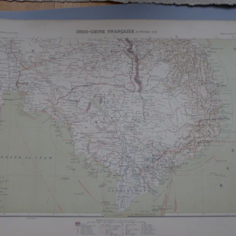
[INDOCHINE] {CARTE]Livre Rare Book
Cartes d'Indo-Chine Française
6649Paris, Armand Colin Editeur, Imprimerie Dufrenoy, 1900. 1 ensemble de 2 cartes de l'Indo-Chine (chacune 42*62 cm), publiées en 1900 dans l'Atlas des Colonies Françaises de Paul Pelet, à l'échelle de 1/2.500.000. Bon état des 2 cartes.
Librairie Ancienne Indosiam · Hong Kong, Chine70,00 €