GARNIER, E.Livre Rare Book
35 résultats
1841115811841 TOURS, A. Mame - 1841 - 2ème édition - Coll. "Bibliothèque de la Jeunesse chrétienne" - In-12, 10,5x18cm - Reliure de l'éditeur en plein cartonnage romantique, couleur marine - Dos lisse orné d'arabesques romantiques - Coiffes émoussées - Encadrement d'un filet doré sur les plats, plats agrémentés d'arabesques romantiques à froid - illustrée de 3 gravures hors-texte - Frais intérieurement
185061705Prag, Calve, um 1850. Bild ca. 9 x 7 cm, Platte ca. 17 x 11 cm, Blatt ca. 28,5 x 20,5 cm. 1 Blatt, verso weiß.
18572449Stuttgart-Augsburg: J.G. Cotta. 1857. 1. Auflage, 2 Teile in 1 Band, 372, 340 S., Halbleder, Stempel auf Vorsatz u. Titelblatt, Widmung auf Innendeckel, Kanten bestoßen, innen gut, Rücken starke Gebr.spuren,
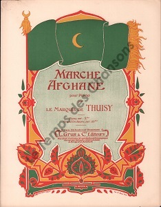
190028388Partitions sur l'Asie,Partitions sur le Militaria Grus Léon 1900 approx.
1885030512Charles Scribner's sons, New York 1885. Hardcover Sehr gut
1873Khe01624Berlin (Gustav Hempel) 1873 (= Erste Ausgabe). Gr-8°, 2 Bände schlichtes Originalhalbleinen mit handbeschriebenen Rückenschildchen (Hardcover); 683 + 859 S., 1
1894159026Halle a. S.: Kaemmerer 1894. 48 Seiten. 8° (17,5-22,5 cm). Bibliotheks-Halbleinenband. [Hardcover / fest gebunden].
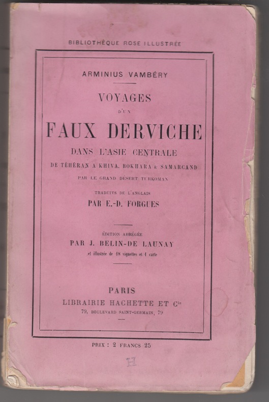
188228741882 Paris, Hachette, "Bibliothéque rose illustrée"1882, illustrés de 18 gravures sur bois et accompagnés d'une carte. 4e édition revue , broché ,pt.in-8, 263 pp.
1858178791858 Tours, Mame et Cie, 1858 In12, 137p, reliure percaline rose de l'éditeur. Dos et premier plat ornés. Deux gravures en hors-texte et une en frontispice.tache au bas du premier plat.
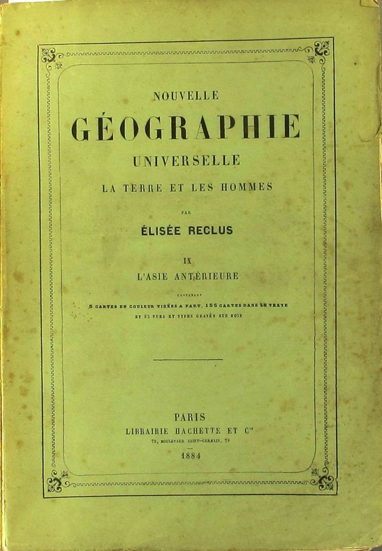
1884130815Couverture souple. Broché. 952 pages. 19 x 28 cm. Rousseurs. Dos réparé.
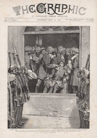
189530001895. Wood-engraving. 395mm by 295mm sheet. 'A Royal Patient. Nasrullah Khan the Amir's Second Son now on a visit to England having a tooth extracted at his bungalow near Kabul'. From 'The Graphic'.<br /> Related and unrelated text on the reverse. Some light foxing. Light toning on far right hand side of the sheet. unknown
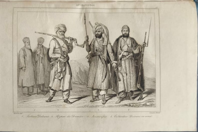
184813840Firmin Didot Frères Editeurs 1848 in8. 1848. Reliure editeur cartonnée. Cet ouvrage du XIXe siècle publié par Firmin Didot frères en 1848 fait partie de la collection 'L'Univers : histoire et description de tous les peuples'. Il décrit les régions de Tartarie Béloutchistan Boutan Népal et Afghanistan avec des contributions de Louis Dubeux V. Valmont et Xavier Raymond
1865FER-D8Paris Hachette 1865 In4 - demi chagrin - dos à nerfs orné - 402 pages - 1 carte dépliante et 34 gravures hors texte - coins légèrement émoussés - peu de rousseurs hormis sur la carte - 1ere édition Française .
1865FER-D8Paris Hachette 1865 In4 - demi chagrin - dos à nerfs orné - 402 pages - 1 carte dépliante et 34 gravures hors texte - coins légèrement émoussés - peu de rousseurs hormis sur la carte - 1ere édition Française .
1850953310Leipzig: F.A. Brockhaus. 1850. Oktav, 22 cm. (Einband minimal fleckig, Name in Bleistift auf Vorsatz, Schnitt und innen leicht braunfleckig, anfangs dezenter Feuchtigkeitsrand, papierbedingt etwas gebräunt, im Ganzen recht gut erhalten) [5 Warenabbildungen] 2 Blatt, 763 Seiten. Ganzleinen der Zeit mit goldgeprägtem Rücken,
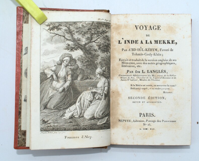
1825PHO-1571Paris, Nepveu,1825.- XXXIV-233 pp., illustré d’une gravure en frontispice, relié demi basane époque, dos lisse orné avec titre, ex-libris, charnières fendues, frottements, rousseurs au titre.
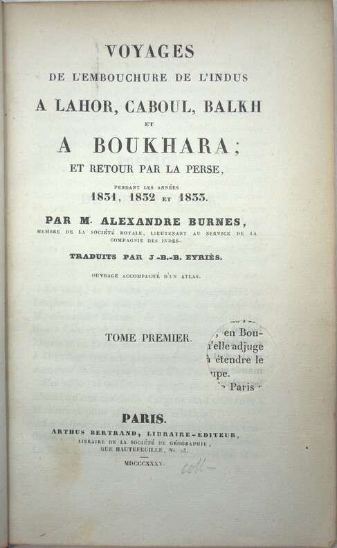
1835PHO-2248Paris, Arthus Bertrand, 1835, 3 volumes de texte in-8 (206 x 130 mm), 2 ff.n.ch., XI, 354 pp.; 2 ff.n.ch., VIII, 375 pp. ; 2 ff.n.ch., 392 pp., sans reliure, cachets retirés aux titres.
188546375ABLeipzig, Greßner & Schramm [1885]. Gr.-4°. 176 S., 1 (leeres) Bl. Geprägte Original-Leinwand mit Deckeltitel in Gold. Einband mit schwacher Lichtspur. Ecken berieben. Kl. Namensstempel am Titel. Block geringf. gelockert. Ein (loses) Bl. sachgerecht befestigt.
18213389Weimar, Geographisches Institut, 1821. XLIV, 900 S. 8°. Pp. der Zeit mit Rückenschild (Rücken mit Spuren eines gelösten Bibliotheksschildchens, gebräunt, bestoßen und etw. beschabt, Kapital eingerissen).
184319481843 Librairies Paulin, Ledentu, Paris, 1843. In-8 broché (brochure d'époque). 554 pages
186431364ABVenezia, Stabilimento Nazionale, 1864. 1864. (2) Bl., S. 81–447, (2) Bl., 84 S., (1) Bl. Mit 41 Kupfertafeln und 3 gef. Karten. Halblederband der Zeit.
1877GITd897Marseille Secrétariat de la Société de Géographie 1877-1878. 2 volumes in-8 3 feuillets non chiffrés 8-439pp (1877), 3 feuillets non chiffrés 8-409pp (1878). Demi chagrin rouge à coins signés, dos à nerfs, tête dorée, reliure de l'époque. Orné de 7 cartes dont 5 dépliantes (3 dans le Tome I, 4 dans le Tome II). Coupure sans manque sur 1 carte du Tome I et tache en tête de la page 56-57 du même volume. Bien complet du texte et des cartes. Bel exemplaire sans aucune rousseur et bien relié.
186431364ABVenezia, Stabilimento Nazionale, 1864. 1864. (2) Bl., S. 81?447, (2) Bl., 84 S., (1) Bl. Mit 41 Kupfertafeln und 3 gef. Karten. Halblederband der Zeit. + Wichtig: Für unsere Kunden in der EU erfolgt der Versand alle 14 Tage verzollt ab Deutschland / Postbank-Konto in Deutschland vorhanden +, 31364AB|31364AB_2 [2 Warenabbildungen]
180215501BBParis, Delance, 1802. CXV, 319; 472 Seiten. Mit 2 mehrfach gefalteten, gestochenen Karten. Unbeschnitten. Die Karten 91 x 32 cm (Route de George Forster depuis Loldong jusqu 'a Petersbourg dans les annees 1783 et 1784; Carte du pays de Kachmyr, 43 x 32 cm. Blaugraue Pappbände der Zeit mit handschriftlichem Rückentitel., 15501bb Einbände leicht berieben und minimal bestoßen, etw. angestaubt und gebräunt.
18512047AG1851. London & New York J & F. Tallis 1851. Original steel engraving / Vintage map. Drawn and engraved by John Rapkin. Partly hand-coloured. Plate Size: 33.7 cm x 26 cm. Sheet Size: 37.5 cm x 27.2 cm. Vintage 19th century map in very good condition. John Tallis 7 November 1817 3 June 1876 was an English cartographic publisher. His company John Tallis and Company published views maps and atlases in London from roughly 1838 to 1851. Tallis set up as a publisher with Frederick Tallis in Cripplegate in 1842; the business moved to Smithfield in 1846 and was dissolved in 1849. From 1851 to 1854 Tallis operated as John Tallis and Company. He started The illustrated news of the world and national portrait gallery of eminent personages in 1858 selling it for £1370 in 1861; it folded in 1863. Wikipedia The most important project John Tallis undertook was the 'Illustrated Atlas' from 1851. The original map we offer here was part of this exceptional Atlas and all the maps it contained are still today considered as the last reminder of an era of lavish map production. Tallis worked the project together with John Rapkin 1815-1876 and it was Rapkin's style and talent that we have to thank for when we marvel at these maps today. What makes these maps so special is the detail of engraved vignettes that surround the map and often show indigenous scenes people in their environment and even more so historical buildings or historical views of towns and cities architecture and landscape. The project of 'The Illustrated Atlas' was designed to be finished just in time for the anxiously awaited "Great Exhibition of the Works of Industry of All Nations" or The Great Exhibition sometimes referred to as the Crystal Palace Exhibition in reference to the temporary structure in which it was held was an international exhibition that took place in Hyde Park London from 1 May to 11 October 1851. It was the first in a series of World's Fairs exhibitions of culture and industry that became popular in the 19th century and it was a much anticipated event. The Great Exhibition was organized by Henry Cole and Prince Albert husband of the reigning monarch Queen Victoria. It was attended by numerous notable figures of the time including Charles Darwin Samuel Colt members of the Orléanist Royal Family and the writers Charlotte Brontë Charles Dickens Lewis Carroll George Eliot and Alfred Tennyson. Music for the opening was under the direction of Sir George Thomas Smart and the continuous music from the exhibited organs for the Queen's procession was "under the superintendence of William Sterndale Bennett". Wikipedia unknown