Stanley Henri M.Livre Rare Book
1 956 résultats
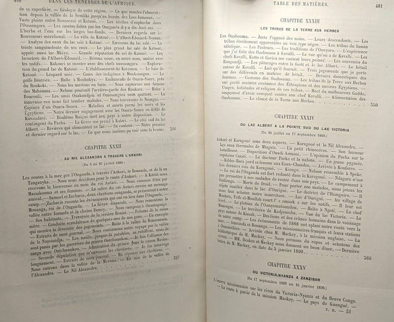
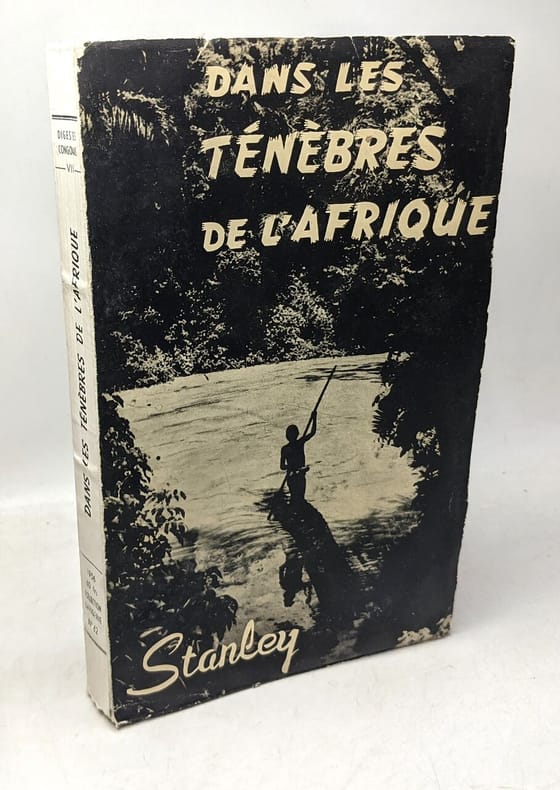
16801Librairie de L. Hachette et Cie. Paris, 1874, petit in-4 demi-chagrin rouge, dos à quatre nerfs, dos richement orné, toutes tranches dorées. Reliure de l'éditeur. 60 gravures en noir et 6 cartes. 3ff.-600pp. Ouvrage traduit de l'anglais avec l'autorisation de l'auteur par Mme. H Loreau. Des rousseurs sinon bon exemplaire.
1890100132486Hachette et cie 1890 in4. 1890. Relié.
100133341Grands lacs in12. Sans date. Broché.
196912040Spreitenbach, Schweiz : Gloria-Verl., 1969. 125 S. : zahlr. Ill. (meist montierte, farb. Klebebilder) Gr. 8°. Ill. OPpbd.
201253349Bremen, maritime press, 2012. 150 S. (21 cm) Broschierte Ausgabe
196733406BBStuttgart, Brockhaus Verlag, 1967. Nur Tafelband ("Atlas")! Nur Tafelband ("Atlas")! Ausgabe Brockhaus Verlag (1967). Keine Seitenangabe. Der Band enthält insgesamt 57 Karten und Tafeln. Mit Titelprägung versehener Original-Ganzleinenband mit titelbedrucktem, illustriertem Original-Umschlag. Band in sehr gutem Zus ('Quellen und Forschungen zur Geschichte der Geographie und der Reisen', Band 3,4).
192553796London, Oxford University Press, 1925-29. Royal8vo. 2 orig. full cloth. Gilt lettering on spines. Containing 33 + 25 original offprints published in various periodicals in various sizes, published between 1921-29, some with plates and textillustrations, in the fields of geology, zoology, geography, hydrography, glaciology etc.
192553796London Oxford University Press 1925-29. Royal8vo. 2 orig. full cloth. Gilt lettering on spines. Containing 33 25 original offprints published in various periodicals in various sizes published between 1921-29 some with plates and textillustrations in the fields of geology zoology geography hydrography glaciology etc. hardcover
94507aafEdinburgh and London, William Blackwood and Sons, 1864, lg. in-8vo, engraved frontispiece + X + 1 ll. (2 p.: half-title : Journal...Somali Land) + 372 p., + 1 double-page + 1 folding map, a very clean copy, engraved ex-libris: James Early Smith + one small legacy stamp on first fly: C.A.W. Guggisberg, contemporary h.-leather, spine richly gilt. Fine copy.
1995270312Berlin : Edition Ost, 1995. 351 Seiten.. Mit zahlreichen Schwarz-Weiß- Abbildungen. 22 cm Originalpappband.
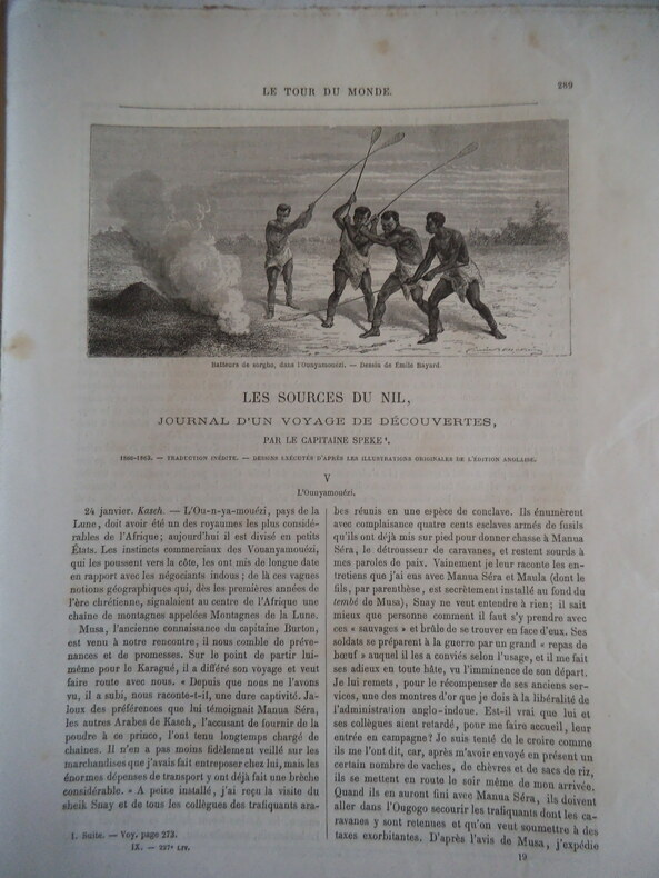
12766Journal d’un voyage de découvertes par le capitaine SPEKE) Nouveau journal de voyages de CHARTON. Hachette éditeur. 1863. Volume IX livraisons 226-227-228-229-230-231-232-233-234 Pages 273 à 384/ traduction de ED FORGUES Gravures, cartes. Avec la couverture de livraison n°226 papier bleu imprimé. Complet en livraisons, non sorties de reliure. Edition pré-originale. Peu courant.
1933112031Berlin: Drei Masken Verlag, 1933. 24,5 cm ; Leinen
2006100069774Éditions France Loisirs 2006 582 pages 16x25x4cm. 2006. Broché. 582 pages.
1998100086620Editions Complexe 1998 597 pages in8. 1998. Broché. 597 pages.
8vo., Second Impression, with plates and maps; blue cloth, gilt back, a near fine copy in unclipped dustwrapper. A PRESENTATION COPY FROM THE AUTHOR WITH HIS SIGNED HOLOGRAPH INSCRIPTION ON TITLE. Published a year after the first edition.
1897100095386Kegan Paul Trench Trübner & C° 1897 in8. 1897. Cartonné. iconographie en noir et blanc
59749aafBern, Hallwag, 1940, in-8vo, 328 S., + ill. Tafeln, Original-Leinenband, gutes Exemplar.
98396aafCape Town, the Van Riebeeck Society, 1939, in-8vo, 413 p. / 341 p., light foxing, small legacy stamp ‘Guggisberg’, original publisher’s grey clothbound, light wear at spine ends. Very good copy.
19701702London: Spring Books. Very Good in Very Good dust jacket. 1970. First Thus. Hard Cover. xii 337pgs colour frontis; many other illustrations dust jacket is faded on spine and front.; 285 x 220mm . Spring Books hardcover
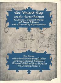
1995EXNW00005New Haven & London: Yale University Press 1995 WYSIWYG pricing--no added shipping charge for standard shipping within USA. Full blue cloth gilt-on-black titles on spine black endpapers lxvi 291 pp 25 ff plates not in pagination including 4 oversized folding plates footnotes index. Light soil to fore-edge else fine. DJ has two tears with creasing to top edge of rear panel; in Brodart archvial cover. The Vinland map believed to have been drawn in about 1440 shows the Old World Iceland Greenland and the coastline of northeastern North America. It was discovered bound in a volume with a manuscript copy of the Tartar Relation "an account of Friar John of Plano Carpini's mission to the Mongols from 1245 to 1247." This volume contains facsimiles of the map and the Relation a transcription and translation of the Relation history and description of the manuscript by Marston a study of the map by Skelton and an interpretation of both by Painter. The preliminaries include essays by Wilcomb E. Washburn on the controversy surrounding the map Thomas A. Cahill & Bruce H. Cosko on forensic studies of both and antiquarian bookseller Laurence C. Witten II on his acquisition of the map in 1957. Shipping weight 6 lbs. Revised Ed. . Fine/Fine. 30 X 23½ cm. Yale University Press Hardcover
1992100117594First 1992 270 pages 13 2x2 6x21cm. 1992. Broché. 270 pages.
1853E0014198 pages with 23 plates. Royal octavo 9 1/2" x 6" rebound in 3/4 leather with marbled boards and black label with gilt lettering to spine. 79 plates with one Buffalo Dance folding and some with a single tint in this first issue there are errors in the list of illustrations corrected in later issues viz. Landscapes etc. 23 plates numbered as 1-13 15-23 plus one unnumbered at end; Mammals 6 plates; Birds 5 plates numbered 1 3-6 plate 2 Struthus Canicops Woodhouse male is called for but not present and most likely not to be found in this issue; Reptiles 21 plates with 10a miss-numbered as 10 12 as 13 and 13 as 16; Fishes 3 plates; Plants 21 plates plate 21 Aploppus Nuttalii present but not called for. Includes <i>Reconnaissance of the Zuni Little Colorado and Colorado Rivers Made in 1851</i> map as called for but includes Lithographed map <i>Boundary of the Creek Country</i> 24" x 36" laid in not called for. Senate Executive Document 59 Howes: 528 First edition.<br /><br />Survey of the watershed of the Canadian River and Red Fork of the Arkansas River in Indian Territory extending from Fort Smith to the border with Texas. The lands of the Cherokee Creek Seminole and Choctaw Indians are located. The map locates numerous forts including Smith Coffee Gibson and Old Fort Holmes and their connecting wagon roads. Talasee is shown at the site of Tulsa. This map was issued with the "Northern and Western Boundary Line of the Creek Country" report by Sitgreaves and Lt. J.C. Woodruff. The surveys were made in 1848 and 1850 but the report in which the map was issued wasn't published until 1858.<br /><br />After the conquest of New Mexico and California it was apparent that transportation and communications needed to be improved between these new territories and the rest of the United States east of the Mississippi. Geographical knowledge of most of this area particularly northwestern New Mexico now northern Arizona was very limited and inaccurate. Some maps of the day showed a river system that might provide a possible navigable water corridor between New Mexico and the Gulf of California via the Zuni Little Colorado and Colorado Rivers. In September of 1851 Captain Lorenzo Sitgreaves along with a small crew of topographers naturalists artists and support personnel and an escort of 30 infantrymen left the Zuni Pueblo in western New Mexico by pack train with instructions to explore and map the Zuni and Colorado Rivers and evaluate their navigability in light of a possible impending war with the Mormons in Utah. They traveled southwest along the Zuni River to its mouth and then headed northwest along the Little Colorado intending to follow it to the Colorado. When they reached Grand Falls northwest of present-day Winslow Arizona their guide Antoine Leroux advised them that it was unwise to follow the river any further because it flowed in a deep canyon for the rest of its course and emptied into the great canyon of the Colorado River. They left the river and struck off due west around the north side of the San Francisco Mountains discovering the Wupatki Indian Ruins along the way and looped southwestward around the south side of Bill Williams Mountain. The rest of their westward march followed near the future alignment of Route 66 to the Colorado River near the modern town of Bullhead City Arizona. After a difficult march south along the Colorado River they reached Camp Yuma on November 30. Of course Sitgreaves discovered that the Zuni and Little Colorado Rivers were not at all navigable and would be useless to transport troops and supplies. The Colorado River however was found to be navigable along the entire distance that he explored. Sitgreaves' official report "Report of an Expedition Down the Zuni and Colorado Rivers in 1851" was published in 1853.<br /><br /><b>Condition:</b><br /><br />Foxing left margin trimmed as issued for folding all other plates present as called for in Howes as well as Lithographed map <i>Boundary of the Creek Country</i> laid in and not called for some folding. Rebound in attractive three quarter leather else a about very good. Robert Armstrong hardcover books
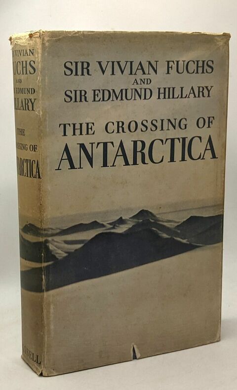
1958100082083Cassell 1958 in8. 1958. Cartonné.
22430No place or date. 8 x 12 cm illustration of a ship in polar waters cut from book or periodical with bold signature at bottom right: 'V. E. Fuchs 1968'. Laid down on piece of white paper. In fair condition but with slight bleeding of ink from signature towards foot of paper. Accompanying the item is an unsigned typed note by the recipient of the autograph on a 4to piece of paper. It reads: 'Antarctic Crossing The autograph of Sir Vivian Fuchs The first crossing of the Antarctic continent was completed at 1.47 p.m. on 2 March 1958 after a 2158 mile trek lasting 99 days from 24th Nov. 1957 from Shackleton Base to Scott Base via the Pole. The crossing party of twelve was led by Dr. now Sir Vivian Ernest Fuchs born 11th Feb 1908 As you can see in the picture it is of the R.R.S. Shackleton and that is why I got Sir Vivian Fuchs to autograph it.' Anthony Tucker in his Guardian obituary 13 November 1999 summed up Fuchs's achievements: 'Famous as the leader of the Commonwealth Trans-Antarctic Expedition of 1957-58 during which he met Sir Edmund Hillary at the South Pole and carried out research which established the existence of a huge continental land mass beneath the polar ice cap Sir Vivian Fuchs . was one of the great adventurers scientist-explorers and expedition organisers of our time. He was director of the Falklands Islands Dependencies Survey from its creation in 1947 and from 1958-73 the continuing director of its successor the British Antarctic Survey BAS. His life spanned a period of massive transition in the nature and purposes of exploration.' No place or date. unknown
1873Fayard 1962