Livre Rare Book
64 résultats
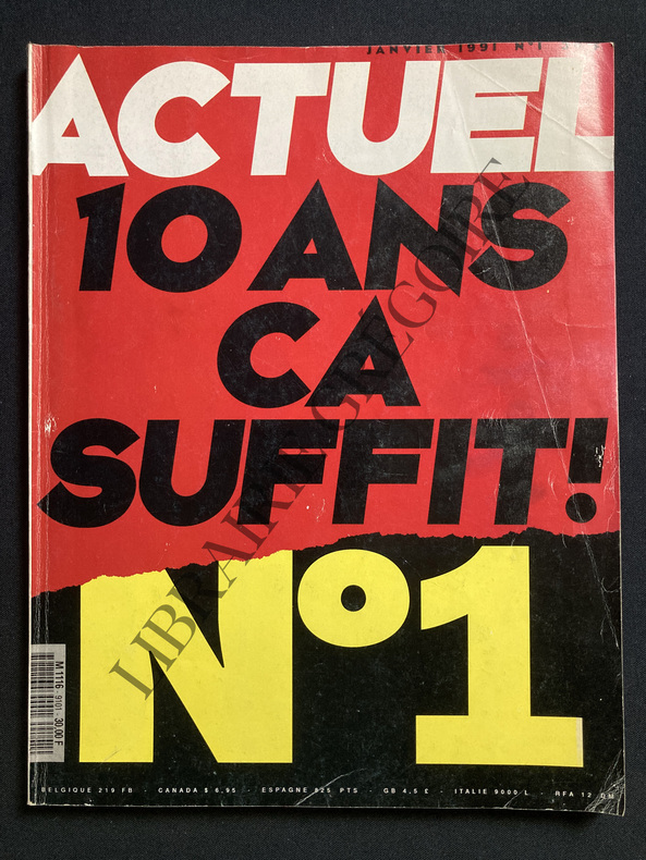
1991ABE-1682284830949L'ARABIE DOMINE LE MONDE-QUI A BARBOUILLE ASSEMBLEE NATIONALE? JEAN CHARLES BLAIS, PHOTO-NOUS JETTERONS CHRISTOPHE COLOMB A LA MER, PAR LE PERE ARISTIDE PRESIDENT D'HAITI-JE VOUS OFFRE MON JOURNAL INTIME, PAR NAN GOLDIN-VALERIE LEMERCIER COMIQUE "JE VAIS PARTOUT AVEC MON SALADIER", 4 PAGES-A L'ABORDAGE AVEC LES PIRATES ECOLOS-COMBIEN CA COUTE UN TUBE?-L'HISTOIRE DES TAUPES QUI ATTENDAIENT LES ROUGES DEPUIS 40 ANS-SI LES RUSSES ARRIVENT.ON RECONSTRUIT LE MUR?-FLORENCE PERNEL: ELLE ETAIT BEBE NESTLE, REGIS FRANC-(EM423)
198971134Paris L'Harmattan 1989 1 vol. broché petit in-8, broché, 170 pp., bibliographie. Dos légèrement ridé. Sinon bon état général.
198971134Paris L'Harmattan 1989 1 vol. broché petit in-8, broché, 170 pp., bibliographie. Dos légèrement ridé. Sinon bon état général.
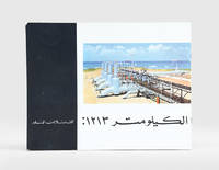
1960187923Beirut: Matba'at al-sharq al-'awsat li-l-tasdir c.1960. First edition of this well-illustrated pamphlet unrecorded institutionally on the 1213-km Trans-Arabian Pipeline Tapline which operated between Qaisumah Saudi Arabia and Sidon Lebanon especially in the years 1950-76. It provides an overview of its operations managed by four US oil companies with an initial output of 350000 barrels which increased to 450000 after a structural upgrade in 1958. Landscape octavo. With half-tone and colour photographic illustrations. Text in Arabic. Original pictorial wrappers wire-stitched as issued. Extremities a trifle rubbed rear wrapper a bit soiled contents clean: a very good copy. unknown
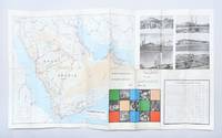
1969179167Dammam: Ministry of Information c.1969. An early map of Saudi Arabia's developing road network printed on one side in English and the other in Arabic. It shows surfaced roads those under construction and proposed highways. It also promotes the nation's medical and communications infrastructure agriculture and education. After the discovery of oil in the 1960s the Saudi government began to invest heavily in the road network. The Ministry of Planning created a series of five-year road programmes to execute these initiatives building 3221 kilometres of new roads from 1970 to 1975 and a further 21452 kilometres from 1975 to 1980. This example doubles as a promotional pamphlet featuring photographic illustrations of landmarks such as the Holy Mosque at Mecca Jeddah International Airport and the ruins of Mada'in Salih Hegra. It was likely printed in 1969 as the section introducing communications infrastructure references the future expansion of Dammam port in 1970. Single sheet 479 x 840 mm folding to 242 x 110 mm maps printed recto and verso. Six half-tone photographic illustrations small colour vignettes; text in Arabic and English. Inscribed by one Muhammad Jukhdar on front panel. Maps bright outer panels a little scuffed and toned small hole at fold intersection: a very good copy. unknown
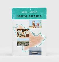
1963182391Saudi Arabia: 1963. First edition of this pamphlet detailing Saudi Arabia's history and development. It features portraits of Ibn Sa'ud King Sa'ud and King Faisal along with illustrations of hospitals schools agriculture oil refineries and the Ka'aba. The pamphlet also includes data on the country's economic resources including both its revenue from oil and its annual budget. Quarto. Half-tone photographic illustrations and maps throughout some in colour. Original colour wrappers front wrapper lettered in black rear wrapper decorated with emblem of Saudi Arabia in black and white. Wrappers rubbed and a little creased contents clean: a very good copy. unknown
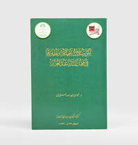
1982182093Riyadh: King Abdulaziz Foundation Publications 1982. First edition of this rare comparative study of the natural and human geography of the Western Saudi coast published by Darah and illustrated with numerous colour maps. We have traced only two copies in OCLC. The work sought to establish unified institutional research and scientific independence in the field of environmental studies as well as to provide reference works in Arabic on ports and harbours in Saudi Arabia. It discusses the development and uses of natural harbours in pre-Islamic and Islamic times; geographical historical and economic factors in their development; their subdivision into historic strategic and economic harbours; as well as their uses past and present the types of professional employment they have traditionally fostered and the morphology of port cities. The illustrations include maps of ancient and modern harbours and of the historical phases of urban development in Rabigh Duba al-Wajh and al-Lith. Octavo. With 13 colour maps and plans errata leaf tipped-in. Original pale blue printed wrappers. Minor wear to wrappers contents slightly yellowed: a very good copy. unknown
1998188302Riyadh: Maktabat al-malek 'abd al-'aziz al-'amma 1998. Second edition of this well-illustrated history of communications and telecommunications in Saudi Arabia during the first half of the 20th century. The study begins with the most traditional modes of communication and transport - the use of camels and horses across the desert - with a map of the main routes from Damascus to Mecca and Basra. The second part examines the modernization of roads and the introduction of motor and rail transport under King Abdulaziz with particular emphasis on the Hijaz Railway and considers Aramco's central role in developing Saudi road and rail infrastructure. The third section is devoted to maritime communications with old photos of the Jeddah and Dammam ports and the earliest travel from the airports of Jeddah and Hofuf. The last section offers an overview of wired and wireless communications including the telegraph the postal service and the telephone. Octavo 240 x 160 mm. With half-tone photographic illustrations and maps. Text in Arabic. Original pictorial wrappers wire-stitched as issued. Extremities a little rubbed: a very good copy. unknown
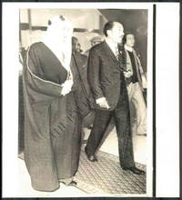
1960144431960. Wirephoto Showing the King of Saudi Arabia and other Arab leadesr. From the Historic Archives of the Baltimore titled Sun Arab Summit Conference Size: 8.3" x 9.1" This WIREPHOTO is straight from The Baltimore Sun's historical photo archive. Wirephotos are different than traditional photographic prints! This print is the result of what used to be breakthrough technology now completely obsolete that allowed a photographic image to be scanned transmitted over "the wire" telegraph phone satellite networks and then printed at the receiving location. They are often on thinner slick paper. Long removed from commercial use these artifacts represent an important era in the history of news media. Circa 1960-1970's. unknown
1928PHO-1377London, Constable & Co ltd ,1928 , 8°, xiv-422pp. , original editor cover , one folding map and several illustrations .
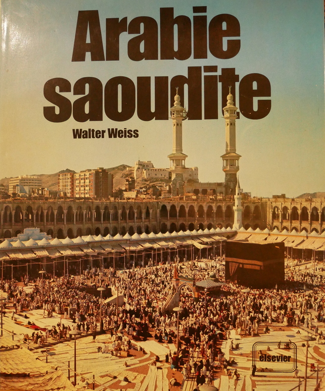
1977L1848Elsevier, 1977, 232 p.
199522861Institut International de Technologie (USA), 1995, in-8°, xiii-360 pp, 88 pl. de photos en couleurs hors texte, cartes, annexes, broché, bon état
2000LFA-126746968N° 370 (Septembre 2000) : revue de 78 pages, format 215 x 285 mm, illustrée, brochée couverture couleurs, bon état
1975LFA-126740037N° 79 (Février 1975) 84 pages, format 215 x 285 mm, illustré, broché couverture couleurs, bon état
1997116764Editions Chronique, 1997, gr. in-8°, 128 pp, 196 photos, 14 cartes en couleurs, biblio, index, cart. illustré de l'éditeur, bon état (Coll. Chroniques de l'histoire)
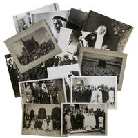
1930ABC_485971930. Kept in a brown kraft paper envelope. With 13 gelatin silver prints various sizes. A collection of thirteen press photographs from the 1930s showing Saudi Arabian leaders during diplomatic visits to Europe. The beautifully sharp and clear photographs give a good impressions of what these events must have been like at the time. Most of the photographs come with the text that would have accompanied them when they were published in a newspaper and are stamped on the back by the press agency that had the rights for publication. We have not been able to find any of these photographs in online archives.Four of the images show Faisal bin Abdulaziz Al Saud 1906-1975 during a diplomatic visit to Great Britain. Faisal was the third son of King Abdulaziz the founder of modern Saudi Arabia. Faisal was very intelligent and was given numerous important duties as a result. He was sent on a five-month long diplomatic visit to Great Britain and France when he was just 13 and achieved his first military successes when he was 16. He succeeded his half brother as king of Saudi Arabia in 1964 and became a well-loved ruler. The present photographs however show his visit to Great Britain in 1939. In particular his visit to the Royal Air Force stations in Middlesex and Northolt where he viewed the Hawker Hurricane planes which he considered to buy for the Royal Saudi Air Force. After his return however he decided against it.The other photographs show Fuad Bey Hamza 1899-1951 the Saudi ambassador in France and Fakry Pacha dates unknown the Egyptian ambassador in France during an Eid al-Fitr celebration in Paris in 1939 a portrait of Sheikh Sir Abdullah al-Salim al-Sabah 1895-1965 the 11th ruler of the Sheikhdom of Kuwait and the Kaaba in Mecca during hajj.Some of the photographs are slightly discoloured or creased around the corners. Mostly in very good condition. unknown
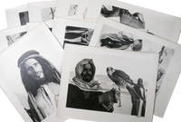
1954ABC_48728Saudi Arabia or Kuwait 1954. Ca. 28.8 x 22.8 cm sheet size: ca. 35.3 x 27.8 cm. Kept in clear plastic folder. Twelve photographic prints all signed and dated. 12 photographs. Remarkable collection of twelve photographs showing daily life of a community in Saudi Arabia or Kuwait in a time before oil wealth. The photographed people are likely all members of the same family. The moving images show the children engaged in wool spinning playing music on homemade instruments or posing in front of a wooden shed with their mother. The men are shown playing music and engaged in falconry. The beautifully captured portraits truly offer a glimpse into the lives and personalities of these people. All photographs are signed and dated by hand. They must have been made by a skilled photographer but the signature is unfortunately unclear. The corners of some of the photographs are very slightly creased otherwise in excellent condition. ABE CAT Anthropology & Ethnography ABE CAT Middle East Arabian Peninsula unknown
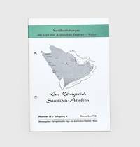
1961178445Bonn: Delegation der Liga der Arabischen Staaten November 1961. First edition first printing of this introduction to Saudi Arabia. It contains biographies and photographic illustrations of Ibn Sa'ud and other members of the royal family. We have traced no institutional copies outside of Germany Austria and Denmark. This pamphlet was produced by the Arab League's delegation in Switzerland as part of a series introducing its members their economies political systems and histories. The introduction opens by emphasizing Saudi Arabia's importance among the Arab states both for its oil resources and religious significance. The chapters then go on to cover geography infrastructure education oil and industry. Octavo. Half-tone photographic illustrations throughout; text in German. Original white printed wrappers wire-stitched and hole-punched as issued front wrapper lettered and decorated in black and green Wrappers lightly toned at edges a few scuff marks minor offsetting internally contents bright: a very good copy. Philipp 796. unknown
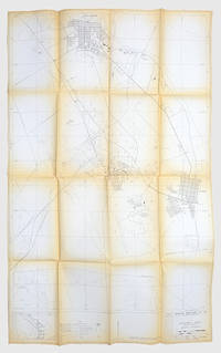
1976171424Dhahran: Arabian American Oil Co. Exploration Department 1976. A scarce map showing the locations of oil wells pipelines and refineries in the region surrounding Aramco's headquarters. We have traced only one copy US Library of Congress. The discovery of commercial quantities of oil in Dhahran at the Dammam Number 7 well in 1938 kick-started the industry in Saudi Arabia. The city is now one of the major centres of oil production in the region and has been the centre of Aramco's now Saudi Aramco's activities since the early 1950s. This map shows the Abqaiq-Dhahran Dhahran-Ras Tanura and Saudi Arabia-Bahrain pipelines. It also maps the road network airport powerlines and drainage systems. Six different types of wells are marked from observational to structural suspended and abandoned examples. It was drawn by Aramco employee Kei Inouye and first released in December 1975 with revisions published on 20 September 1976. The 1:1000000 scale key shows the connections between Dhahran and other major cities such as Dammam Safwa and al-Khobar. Large map 1366 x 845 mm key on recto. Folds toned edges a little nicked one small hole neatly repaired: a very good copy. unknown
198520680n.p. 1985. Paperback. Very Good. 30p. Softcover. Stapled in upper left corner. 28cm. No separate wrapper. <br/><br/> paperback books
199199926136Olivier Orban Olivier Orban 1991, In-8 broché, 304 pages. Trés bon état.
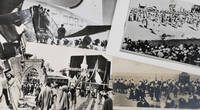
1950ABC_487261950. Kept in a clear plastic sleeve. Various sizes. Four postcards and one press photograph. Collection of four postcards and one press photograph all relating to hajj. Every image shows a different aspect of the pilgrimage. The photograph shows a group of Moroccan men awaiting their turn to board the plane to Mecca and the postcards show the covered Kaaba both from further away and from up close and the arrival of the holy carpet in Alexandria. The final postcard depicts the public execution of two men.The postcard of the holy carpet has been used and has a black stamp on the front and a message and an address on the back the left margin has been cut slightly affecting the image and the handwritten text the corners of the photographs are somewhat creased. Otherwise in good condition. unknown
1979132593Couverture souple. Broché. 128 pages.
1930123909Payot, 1930, in-8°, 463 pp, traduit de l'anglais, 8 illustrations et une carte hors texte, broché, bon état (Coll. de mémoires, études et documents pour servir à l'histoire de la Guerre mondiale). On joint 2 coupures de presse sur Lawrence (l'une de 1935 : Souvenirs sur Lawrence ; l'autre de sept. 1939)
193571390Editions de la Nouvelle Revue Critique, 1935, in-8°, 317 pp, traduit de l'anglais, 7 cartes à pleine page, ex. sur vélin supérieur, broché, couv. très lég. salie, décharges de scotch sur la page de faux-titre et la dernière garde, bon état (Coll. Bibliothèque d'histoire politique, militaire et navale)