268 résultats
1965285966Rumson: Rumson Improvement Association 1965. hardcover. good. Illus. 4to blue boards boards soiled. Rumson: Rumson Improvement Association 1965.<br/><br/> Rumson Improvement Association unknown books
19641113321964 Editions France-Empire - 1964 - Petit in-8, broché, sous jaquette illustrée - 284 p. - Petit cahier de reproductions photographiques hors-texte en N&B en milieu d'ouvrage
190726927Newark NJ: The New Jersey Mineral Company 1907. Wraps. Very Good. 1907 edition unknown. Very Good. 8vo. 40 pp. with black & white maps photographic reproductions and charts. Bound in publishers blue wraps with title in white. Large center foldout panoramic photograph of the mine at Franklin Furnace NJ measures 44 inches wide and shows local churches homes farms. lakes and roads. The foldout is almost separated in the middle fold but still intact. A great piece of New Jersey history. Franklin Furnace also known as the Franklin Mine is a famous mineral location for rare zinc iron manganese minerals in old mines in Franklin New Jersey. This locale produced more species of minerals over 300 and more different fluorescent minerals than any other location. The mineral association assemblage from Franklin includes willemite zincite and franklinite.<br /> <br /> During the mid-to-late 19th century the furnace was the center of a large iron making operation. Russian Chilean British Irish Hungarian and Polish immigrants came to Franklin to work in the mines and the population of Franklin swelled from 500 in 1897 to over 3000 in 1913. - Wiki. The New Jersey Mineral Company unknown
191741252Washington D.C.: Published by the United States Coast and Geodetic Survey 1917. Nautical chart printed on heavy paper stock. Uncolored. A rare original coastal survey of the Hudson River including Ossining Nyack Tarrytown Yonkers and New York City as well as potential anchorage points in the Hudson for Naval use.<br/> <br/> Established by President Thomas Jefferson in 1807 as the Survey of the Coast the U.S. Coast and Geodetic Survey was the United States' first civilian scientific agency. This agency has followed its mission to survey the U.S. coastline create nautical charts of the coast and help increase maritime safety since its founding and has often played fascinating roles in significant chapters of U.S. history. It served in all theaters of the Civil War in the service of the Union Army and Navy pioneered acoustic exploration in the wake of the sinking of the Titanic and during WWI it worked to detect enemy submarines. In addition this agency worked to survey and produce detailed maps and renderings of the U.S. coast. These nautical survey maps commonly referred to as "T-sheets" provide fascinating insights into the history of the United States coastline which has and will continue to shift. These maps are the most important data source for understanding the physical and ecological characteristics of the U.S. shoreline. The present map is notable for the inclusion of various anchorage points for the "temporary anchorage of naval vessels" complete with a naval seal in the upper left corner of the sheet. This map is a highly detailed and accurate sea chart of the Hudson River and an important historical view of developing New York and New Jersey. Published by the United States Coast and Geodetic Survey unknown
191641256Washington D.C.: Published by the United States Coast and Geodetic Survey 1916. Large folding nautical chart printed on heavy paper stock. Uncolored with minor stains. A rare original coastal survey of the Hudson River including New York City from 53rd St to Fort Washington Park Weehawken and Edgewater as well as potential anchorage points in the Hudson for Naval use.<br/> <br/> Established by President Thomas Jefferson in 1807 as the Survey of the Coast the U.S. Coast and Geodetic Survey was the United States' first civilian scientific agency. This agency has followed its mission to survey the U.S. coastline create nautical charts of the coast and help increase maritime safety since its founding and has often played fascinating roles in significant chapters of U.S. history. It served in all theaters of the Civil War in the service of the Union Army and Navy pioneered acoustic exploration in the wake of the sinking of the Titanic and during WWI it worked to detect enemy submarines. In addition this agency worked to survey and produce detailed maps and renderings of the U.S. coast. These nautical survey maps commonly referred to as "T-sheets" provide fascinating insights into the history of the United States coastline which has and will continue to shift. These maps are the most important data source for understanding the physical and ecological characteristics of the U.S. shoreline. The present map is notable for the inclusion of anchorage points for US Naval use according to size complete with a naval seal in the upper left corner of the sheet. This map is a highly detailed and accurate sea chart of the Hudson River and an important historical view of developing New York and New Jersey. Published by the United States Coast and Geodetic Survey unknown
1999123809Munich: Nazraeli Press 1999. Rilegato sovracoperta hard cover dust jacket. Perfetto Mint. Con 32 fotografie in nero. Testo in inglese. 8vo. pp. 48. Perfetto Mint. Edizione di 2000 esemplari firmati dall'Autore First edition of 2000 copies signed by the author. Nazraeli Press, hardcover
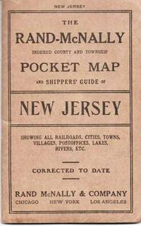
1914037640Chicago & NY: Rand McNally & Co 1914. Early edition. Printed Stiff Wrappers. Very Good. 38pp including six pages of pictorial hotel ads. Tipped in is a colored map opening to 26" x 18.5". Folded into brown card covers printed in black. 6.5" x 4 Rand, McNally & Co unknown
1940020798Newark New Jersey: The Historical Records Survey / Work Projects Administration WPA 1940. NOT a library discard. Very Good condition but for a single short 3/4 inch closed tear and mild crease to the front cover. Square and tight. Hinges are perfect. NO owner's name or bookplate. Pages are creamy white crisp and clean. No underlining. No highlighting. No margin notes. 1940. First Edition. Prepared by The New Jersey Historical Records Survey Project Division of Professional and Service Projects Work Projects Administration WPA. Includes a glossary of Baha'i terms bibliography 4 pages assembly name index place name index and chronological index. Bound in the original brown patterned wraps with a brown cloth spine. Mounted on the front cover is a photo of a church dome printed in shades of blue. 8.25" wide by 10.75" tall. First Edition. Softcover. Near Very Good condition. 27pp mostly printed on rectos only. Great Packaging Fast Shipping. The Historical Records Survey / Work Projects Administration (WPA) Paperback
193424525Mountain Lakes New Jersey: Mountain Lakes Review 1934. 17 pages; printed one side only. The staff included Sheila Breese Editor; Alexander Flandreau Assistant Editor. Information covered here includes boys' and girls' sporting news of the school art department dramatics spelling bees a longer biographical piece on Willa Cather; announcement of a D.A.R. history contest; a printing of a patriotic poem by Arthur Stringer with thanks to the author; and contributions in poetry and prose from school participants. Approx. 9" x 12" size; hand-colored illustrated wraps over stapled contents. Some edge tips wear and soiling to the binding old grade school attendee sarcastic comment handwritten on front; contents in very good condition. First Edition. Soft Cover. Good. Mountain Lakes Review Paperback books
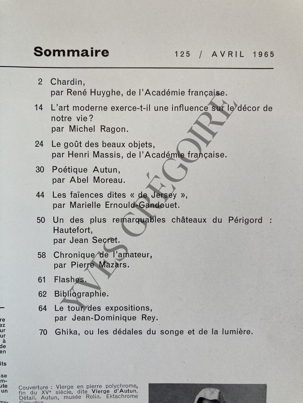
1965ABE-160457627611484 PAGES-19 CM X 26 CM-CHARDIN, PAR RENE HUYGHE, 12 PAGES-L'ART MODERNE EXERCE-T-IL UNE INFLUENCE SUR LE DECOR DE NOTRE VIE?, 10 PAGES PAR MICHEL RAGON, MONDRIAN, LALANNE, MIRO-LE GOUT DES BEAUX OBJETS, 6 PAGES PAR HENRI MASSIS, MAURICE BARRES, ANATOLE FRANCE-POETIQUE AUTUN, PAR ABEL MOREAU, 14 PAGES-LES FAIENCES DITES "DE JERSEY", PAR MARIELLE ERNOULD GANDOUET, 6P-UN DES PLUS REMARQUABLES CHATEAUX DU PERIGORD: HAUTEFORT, PAR JEAN SECRET, 8P-MUSIQUE ANCIENNE ET DECORATION, PAR PIERRE MAZARS, 3P-GHIKA OU LES DEDALES DU SONGE ET DE LA LUMIERE, PAR JEAN DOMINIQUE REY, 3P
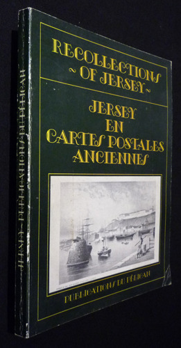
1982gm2692Publications du Pélican Broché 1982 In-8 (18 x 24 cm), broché, 158 pages, illustrations en noir et blanc ; pliure au dos, coiffes, mors et coins frottés, intérieur frais, assez bon état. Livraison a domicile (La Poste) ou en Mondial Relay sur simple demande.
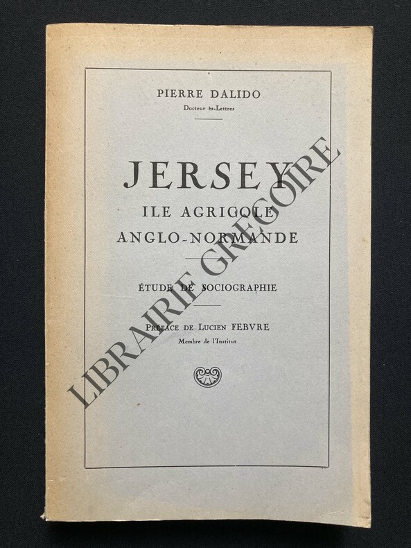
1951ABE-1735327058841452 PAGES-IN 8-PREFACE DE LUCIEN FEBVRE-1 PLI DE LECTURE EN DOS SINON ETAT QUASI NEUF-(8C)
197418711974 br. in-18, couv. recto ill., bandeaux d'après Ouless, clichés h-txt., 208 p., 1974 publications du pelican,
1974LFA-126715778Un ouvrage de 208 pages, format 135 x 200 mm, illustré, broché couverture couleurs, publié en 1974, Publications u Pélican, bon état
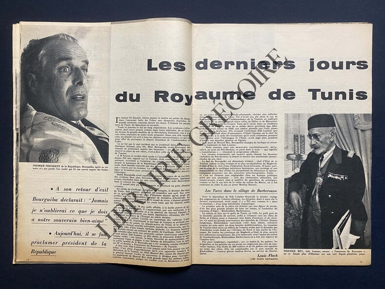
1957ABE-2342130284GINA LOLLOBRIGIDA EN COUVERTURE-LE RETOUR D'ELIZABETH A JERSEY/2P/2 PHOTOS-LES DERNIERS JOURS DU ROYAUME DE TUNIS/13P-MON AMI SACHA GUITRY PAR MARCEL ACHARD/10P/PHOTOS-UNE TEMPETE: 10 TONNES D'EAU SUR LE CRANE DE CURD JURGENS/TAMANGO-RUBINSTEIN: LA LECON DU GENIE AUX ELEVES LES PLUS DOUES-UN RUBAN SUR LA PORTE: LA NAISSANCE EST PROCHE/GINA LOLLOBRIGIDA/3 PHOTOS-1 DECHIRURE P17/18
192141253Washington D.C.: Published by the United States Coast and Geodetic Survey 1921. Nautical chart printed on heavy paper stock. Colored. A rare original coastal survey of the border between New York and New Jersey at Kill Van Kull including Staten Island Elizabeth Newark Bay Bayonne and New York Bay.<br/> <br/> Established by President Thomas Jefferson in 1807 as the Survey of the Coast the U.S. Coast and Geodetic Survey was the United States' first civilian scientific agency. This agency has followed its mission to survey the U.S. coastline create nautical charts of the coast and help increase maritime safety since its founding and has often played fascinating roles in significant chapters of U.S. history. It served in all theaters of the Civil War in the service of the Union Army and Navy pioneered acoustic exploration in the wake of the sinking of the Titanic and during WWI it worked to detect enemy submarines. In addition this agency worked to survey and produce detailed maps and renderings of the U.S. coast. These nautical survey maps commonly referred to as "T-sheets" provide fascinating insights into the history of the United States coastline which has and will continue to shift. These maps are the most important data source for understanding the physical and ecological characteristics of the U.S. shoreline. The present map is a highly detailed and accurate sea chart of the coastal border between New York and New Jersey at Kill Van Kull and an important historical view of the developing states. Published by the United States Coast and Geodetic Survey unknown
197322499(Reinbek), Rowohlt (1973). 1.-10.Tsd. (dt. Erstausg.). Übers. a.d. Engl. v. Ulla Hengst. 204 S. OPp. m. OSchutzumschl. (gestaltet v. Werner Rebhuhn).
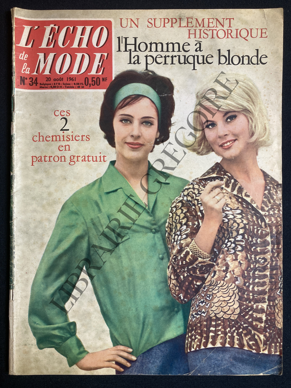
1961ABE-161428429634964 PAGES-21 CM X 28 CM-LA GRANDE DAME DU ROMAN POLICIER AGATHA CHRISTIE, 2 PAGES PAR FREDERIQUE HARMEL, PHOTO-DANS LA TIEDEUR DU GULF STREAM CINQ ILES ANGLO NORMANDES JERSEY GUERNESEY AURIGNY HERM SERCQ 3 PAGES, 6 PHOTOS-LE FILM DE LA SEMAINE: L'ATLANTIDE, EDGAR GEORGES ULMER, PIERRE BENOIT, 2 PAGES, 6 PHOTOS-
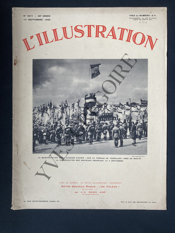
1932ABE-7442475137EN COUVERTURE "LA MANIFESTATION DES "CASQUES D'ACIER" SUR LE TERRAIN DE TEMPELHOF LA CONSECRATION DES NOUVEAUX DRAPEAUX"-EN COUVERTURE INTERIEURE: "LA SATISFACTION DE M. VON PAPEN"-NOUVEAUX ASPECTS DE PARIS PAR LEANDRE VAILLAT/3P/ROUX SPITZ-L'EFFORT FASCISTE/4P-UNE MISSION SCIENTIFIQUE/25 000 KM EN CINQ MOIS A TRAVERS LE CONTINENT AFRICAIN/ARTICLE DE HENRY CLERISSE SUR 3P/SENEGAL/HAUTE VOLTA/NIGER-L'ECLIPSE DE LUNE DU 14 SEPTEMBRE-M.HERRIOT DANS LES ILES ANGLO NORMANDES/1P/JERSEY/GUERNESEY-DE LA YOYOITE ET DU YO-YO/1P/4 ILLUSTRATIONS D'ANDRE GALLAND-
1920List3235Newark New Jersey: N.p. 1920. Double-sided poster measuring 12 x 19 inches. Rolled; with some damage to edges including tear to right edge. Overall very good to excellent. A poster advertising plots of land for sale in Lanoka Harbor now Lacey Township New Jersey. The poster proclaims the healthy climate and varied recreation in the area and its proximity to the New Jersey Central Railroad. One side features a map with an aerial view of the region from New York City in the far distance to the Barnegat Inlet in the foreground highlighting the railroads and major automobile roads in the area. The map is attractive if quite approximate especially shortening the distance between Lanoka Harbor and Barnegat Inlet. N.p. unknown
1945858671945 Editions Le Grand-Albert. N° 3 - Sans date ( fin du XXe siècle). 1 revue grand in-4 ( 34x28 cm). Brochée, couverture illustrée. 34 pages. Illustrations photographiques en noir et blanc
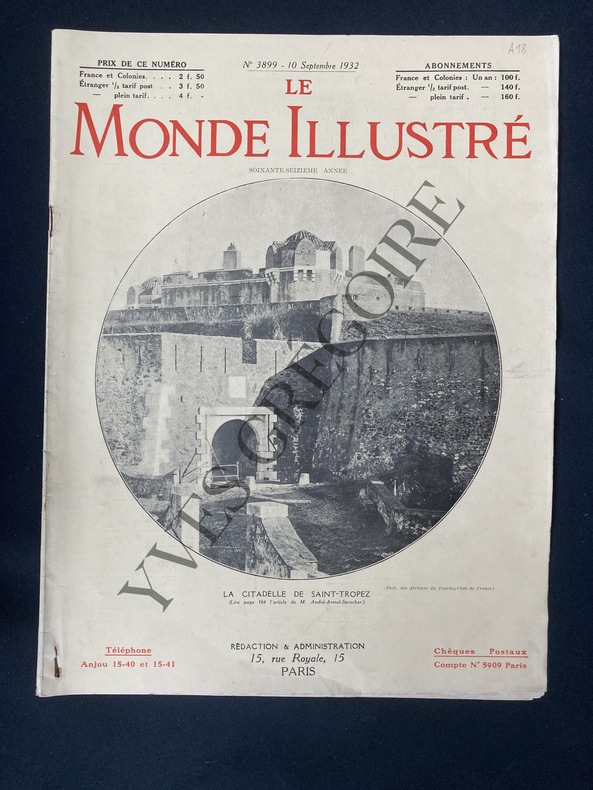
1932ABE-153098078109924 PAGES-29 CM X 38 CM-EN COUVERTURE "LA CITADELLE DE SAINT-TROPEZ"-EN COUVERTURE INTERIEURE EDOUARD HERRIOT ET HERBERT SAMUEL A JERSEY-EN VISITE CHEZ M. PAMPIN CHASSEUR DE VIPERES, 1P, 2 PHOTOS-RENDRA-T-ON A SON AFFECTATION PREMIERE LE THEATRE DU CHATEAU DE VERSAILLES?, 3P, 9 PHOTOS
1994LFA01cfcUn ouvrage de 427 pages, format 140 x 200 mm, illustré, broché, réimpression (1994) de l'édition de 1928
1983LFA0140fUn ouvrage de 32 pages, format 165 x 230 mm, illustré, broché couverture couleurs, publié en 1983, Editions Ouest-France, bon état
1968ABE-790328734316 PAGES-EN UNE: LA NOUVELLE CRITIQUE-EN UNE: CLAUDE RICH ET OLGA GEORGES PICOT DANS "JE T'AIME, JE T'AIME" D'ALAIN RESNAIS-PHILBY SANS SON MASQUE/PAR J.P.RENAUDIERS/PHOTO-LE DOSSIER DE LA NOUVELLE CRITIQUE PRESENTE PAR JACQUES DEMOUGIN-LE PARI D'UN ART OUVERT/CLAUDE ARNOULT/PHOTO-LE PIETON DES NEBULEUSES LEON-PAUL FARGUE PAR NINO FRANK/PHOTO-JERSEY LA CONQUISE/ARTICLE DE CLAUDE SALVY/PHOTO-UN CENTENAIRE TOUJOURS JEUNE.LES FOLIES BERGERE/PAR MAURICE TASSART/AFFICHE DE CHERET-L'ANATOMIE DES SHADOKS/ARTICLE DE MICHEL MOURLET/4 DESSINS