[CHINESE GUIDE TO TEA].Biblio.com

8 190 résultats
1954215555Zhengzhou.: 郑州市果品公司印. Zhengzhou City Produce Fruit Company. Circa1954. Small informative folded poster about tea printed in green ink with illustrations. Scattered foxing middle section on reverse browned stamped with postage mark dated 1954. In good condition. Text in Chinese. 44.4 x 27cm. The benefits of tea are listed including green tea and flower tea as well as an explanation about how tea can eliminate toxins. . 郑州市果品公司印. Zhengzhou City Produce (Fruit) Company. unknown
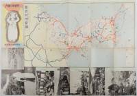
1937178598Korea.: 朝鮮総督府鉄道局. Chosen Sotokufu Tetsudokyoku. Showa 12 1937. Folded travel brochure featuring a large colour map of Korea black and white photographic illustrations 53 x 38 cm folded. Small holes and a little worn along folds a good copy. 18.2 x 9 cm. Attractive folding map and travel guide to Korea produced by the colonial government's Railway Bureau. The cover illustration shows a Korean woman carrying a water jug on her head. The map shows the Korean Peninsula with main towns. The map is surrounded by a set of black-and-white photos of landmarks including a cityscape of Seoul and a flock of sheep in northern Korea. The photos are set in a design showing Korean figures in traditional costume. The text on the reverse of the map provides information including various railway lines in the country and possible itineraries to cover major sites. There is also a more detailed explanation of the sights to be seen along five major rail routes: from Busan to Seoul Keijo; from Seoul to Andong; from Daejeon to Mokpo from Seoul to Wonsan and from Wonsan to Hoeryong. . 朝鮮総督府鉄道局. [Chosen Sotokufu Tetsudokyoku]. unknown
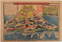
1918215607No publication details. circa1918. Colour pictorial map 25.5 x 38.6cm seven illustrations in inset panels six along lower border with a colour image at upper right. Paper browned and fragile but all small closed tears have been repaired neatly on the reverse making them almost imperceptible on the image. This colour pictorial map is a climbing guide to the summit of Mt Fuji. It shows four different routes to the half way point and two routes to the top. The map includes seven inset panels with illustrations of various well-known points of the climb. The top panel shows the summit with Asama Shrine. All the illustrated climbers are clad in kimonos upon their heads bamboo woven hats as the climb was regarded as a pilgrimage rather than a leisure activity. A stamp received at the fifth stage has been applied to the map just to the right of Mt Fuji. . No publication details. unknown
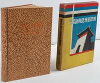
1935220033大阪. Osaka.: 巧人社. Kōjinsha. Showa 10 1935. 18 x 13cm 169pp hardback pictorial endpapers occasional spotting title page browned a very good copy in original pictorial slipcase. This book was published in 1935 three years after Manchukuo was founded. After a short introduction the book explains numbers pronouns and grammar before teaching Manchu conversations on various topics including weather time and travelling. The target readers would have been those visiting Manchuria on business or as tourists. Thus conversations are set in the context of shopping and travelling. Pronunciations of Manchu are written in the Latin alphabet and katakana. Humorous illustrations appear on the endpapers while the slipcase has been decorated in the distinctive colours of the Manchukuo flag with an illustration of a city gate. . 巧人社. [Kōjinsha]. hardcover
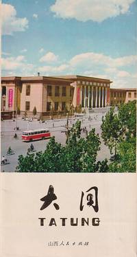
1977221487大同 Datong.: 山西人民出版社 Shanxi Renmin Chuban She. 1977. Colour map and photographic illustrations. Text in Simplified Chinese characters and English. Single leaf unfolds to measure 35 x 75cm. Little creased though overall a very good copy. A Chinese and English tourist map and guide to Datong showing the city as it was before its highly controversial redevelopment in the late 2000s and early 2010s. . 山西人民出版社 [Shanxi Renmin Chuban She]. unknown
1920217674China.: No publication details. Circa1920. Colour folding pictorial map 39.5 x 54cm lower corners a little stained one panel browned and some folds strengthened with washi on reverse an attractive map. This is a pictorial guide map of Yíheyuan the Summer Palace in Beijing. Kunming Lake is feature in the centre where a fancy pleasure boat is floating. Numerous buildings and walking paths are drawn in detail. No publishing date is recorded on the map. . No publication details. unknown
1982100148501Bayard 1982 533x69x737cm. 1982. Broché.
1915307849Verlag Breitkopf & Härtel Leipzig 1915. Softcover Heft Zustand: Aus einer Klosterbibliothek mit Kennungen Stempel Rückenschild - ansonsten keine Eintragungen. Der Einband hat kleine Risse. Rücken Ecken Kanten sind leicht berieben/bestoßen. Verlag Breitkopf & Härtel, Leipzig, paperback
1994023996Gault - Millau broché Bristol illustré Baden Württemberg 1994 371 pages en format grand -8
1980226751Ouest france 1980 127 pages in4. 1980. Broché. 127 pages. régionalisme
1969100066484Hachette 1969 in12. 1969. Cartonné. cartes dépliantes
2000R260161187KÖNEMANN. 2000. In-12. Broché. Bon état, Couv. convenable, Dos satisfaisant, Intérieur frais. 128 pages. Premier plat illustré en couleurs. Nombreuses photos et cartes en couleurs dans et hors texte + carte dépliante illustrée en couleurs.. . . . Classification Dewey : 53-Guide
1995100111117Ouest-France 1995 30 4x1 8x24 4cm. 1995. Relié.
1997R260162455KÖNEMANN / GUIDE. 1997. In-12. Broché. Bon état, Couv. convenable, Dos satisfaisant, Intérieur frais. 128 pages. Premier plat illustré en couleurs. Couverture rempliée. Nombreuses photos et cartes en couleurs dans le texte. + carte en couleurs dépliante.. . . . Classification Dewey : 53-Guide
2000RO20273678SEGUIER. 2000. In-12. Broché. Bon état, Couv. convenable, Dos satisfaisant, Intérieur frais. 282 pages. . . . Classification Dewey : 53-Guide
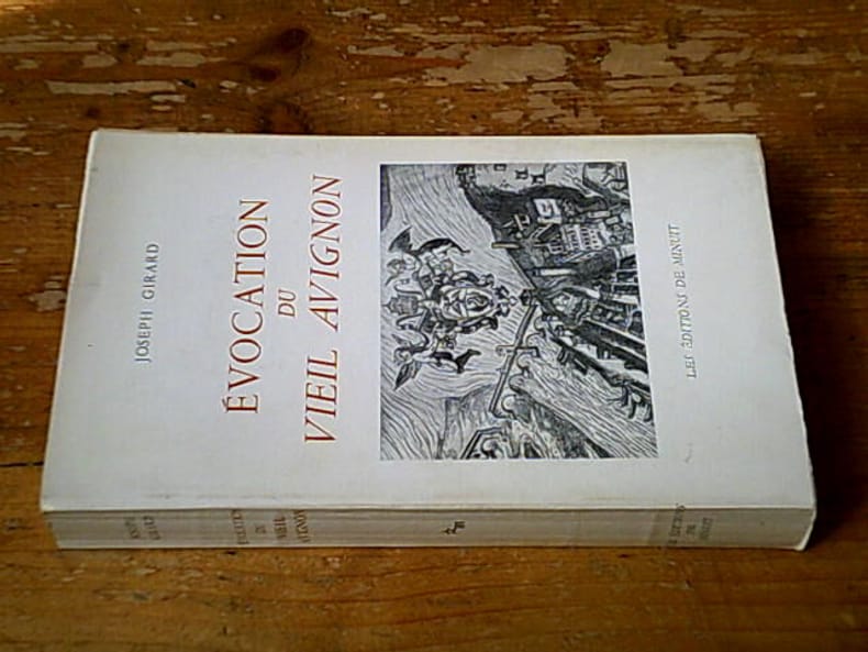
197225024Les Éditions de Minuit 1972 444 pages in-8. 1972. broché. 444 pages. Avec des illustrations en noir hors-texte
1974100084598Andrillon 1974 in8. 1974. Broché.
1938272682Union nationale des agences de voyages 1938 in12. 1938. Agrafé.
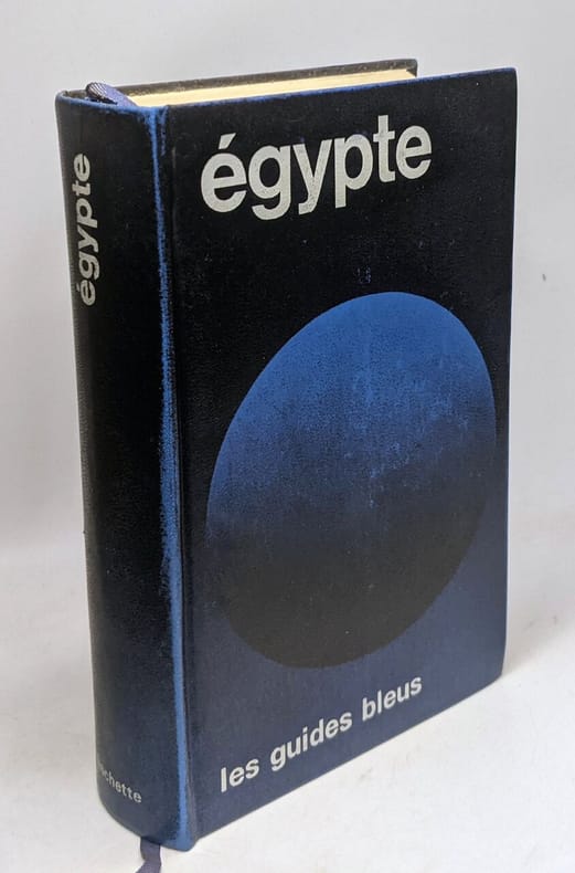
1976274278Hachette 1976 890 pages collection les guides bleus. in12. 1976. Relié. 890 pages.
1988271862Guides bleus 1988 870 pages in12. 1988. Broché. 870 pages.
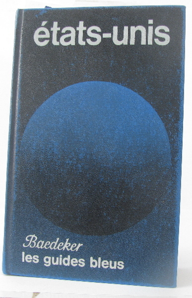
1976026070Hachette Paris 1976 890 pages en format -12 - reliure rigide en simili cuir bleu avec titres en blanc
1983026427Hachette / Baedeker Paris 1983 1047 pages en format -12 - plans et cartes - reliure rigide en simili cuir bleu
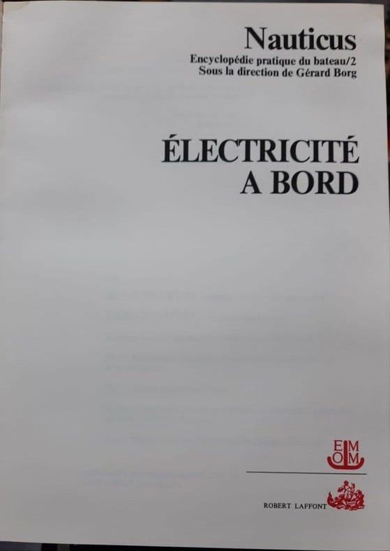
197716182ROBERT LAFFONT 1977 305 pages collection Nauticus. in8. 1977. broché. 305 pages. Ce livre est le tome 2 de l'encyclopédie pratique Nauticus intitulé 'Électricité à bord'. Il s'agit d'un guide technique destiné aux plaisanciers pour comprendre entretenir et dépanner les installations et appareils électriques présents sur un bateau
19888683Hachette 1988 127 pages in8. 1988. broché. 127 pages.
1976100095241Hachette 1976 in12. 1976. Cartonné.