2 673 résultats
498051Alger, Société Historique Algérienne, 1956. In-8° rel., demi-chagrin marron clair et bordeaux, pièce de titre noire ornée de 2 filets dorés, titre doré, garde de pap. mouchetée, 538 pp., qq. fig., dont dessins, planches ill. de reprod. phot. en noir et de dessins. Edition originale.
654981 vol in-4 - 2ème semestre de 1877 - demi percaline marron
561374P., Jeanmaire, [1877]. Grand in-8, reliure de l'époque demi-basane rouge, dos lisse, pièce de titre basane noire, filets et roulettes dorés, [4] ff., 363-XXIV pp., 200 illustrations gravées sur bois dans le texte. Edition originale.
584332Paris, Jeanmaire, [1877]. Grand in-8, demi-basane verte, dos lisse à filets et titre dorés, [4] ff., 363-XXIV pp., 200 illustrations gravées sur bois in et h.-t. Edition originale.
1966RO30312637Robert Laffont. 1966. In-8. Broché. Bon état, Couv. convenable, Dos satisfaisant, Intérieur frais. 215 pages.. . . . Classification Dewey : 910.9-Explorations
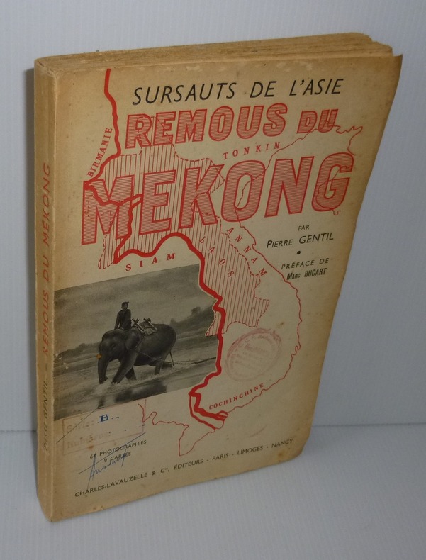
1947R240050743PLON. 1947. In-8. Broché. Etat d'usage, Couv. défraîchie, Dos satisfaisant, Papier jauni. 227 pages - tranches légèrement abîmées 21 gravures hors texte et 2 cartes dans le texte.. . . . Classification Dewey : 910.9-Explorations
Coimbra, 1969 [Separata da "Revista da Universidade"]. Folio; 20 pp. Cubiertas originales.
1861141In original black blindstamped cloth gilt front cover decoration. First edition quarto Senate issue 367 pp. including appendices illustrated with 68 in-text illustrations 9 black and white lithographs 9 tinted lithographs 8 pearl gray and 1 ocher 8 folding b&w panoramic views 1 profile 7 chromolithographic plates of Indians 2 fold out topographic maps and two hand colored geological maps which were issued in only a minority of copies of the Senate version. The House of Representatives version was not issued with the geological maps. Bound in original cloth with gilt vignette of steamboat on cover. Lithography by Sarony Major and Knapp of New York. Map sizes: 34 ½ x 14 ½ inches all 4 maps. Condition: Complete with all plates and maps including the two very scarce geological maps. Extensive shelfwear; backstrip lacking. Stain and rubbing to front cover decoration. Front board detached. No ownership stamps or markings. Text and plates mainly clean with toning to some pages marginal staining to a plate or two and a few scattered small spots. The maps have short opening tears and some small toning spots. A good candidate for rebinding to your specification. Marcou 784 Wheat 947 and 948 topographical maps only Merrill p. 360. This report contains the official account and scientific results of the first of the three great explorations of the Colorado River undertaken by the Federal government during the mid-19th century. Well written and illustrated with many fine woodcuts lithographs and maps some in color the Ives report ranks as one of the most important and best Army surveys conducted in the American west. Wheat devotes over 6 pages to this expedition plus 2 double page maps. Very hard to find with all maps and plates present. In 1857 the Ives expedition up the Colorado River was conceived to develop potential supply routes along the river in event of war with Mormon settlements in Utah. Ives used the steamboat Explorer shown in the frontispiece and many subsequent illustrations - disassembled in Philadelphia and shipped via the Isthmus of Panama to the mouth of the Colorado River where it was reassembled - to transport his party including naturalist/geologist John S. Newberry artist H. B. Mollhausen of US Pacific Railroad USPRR exploration renown and topographer F. W. Egloffstein. According to Goetzmann "the comprehensive observations of Ives and the scientists accompanying his expedition were a distinct contribution to the knowledge of a little-known and superficially explored region". The report consists of 5 parts plus 4 appendices: General Report by J. C. Ives; Hydrographic Report by J. C. Ives; Geological Report by J. S. Newberry; Botany by Gray Torrey Thurber and Engelmann; and Zoology by S. F. Baird. The appendices present astronomical observations geographic data on camp locations; meteorological observations; and remarks about the construction techniques used for the maps. The b&w woodcuts plates and folding views depict striking topographic views of river valley and mountain scenes; panoramic views of canyons and other scenes; geological features; and fossils. Mollhausen's Indian portraits show various representatives of the Cocopas Yumas Chemehuevis Mojaves Hualpais Moquis and Navajo tribes in colorful native attire. Another tinted plate by Egloffstein shows the interior of a Moquis house. Topographic map No. 1 follows the water route along the river from its mouth to "head of navigation" and map No. 2 follows the land route to Ft. Defiance including the "Canyon of the Colorado". Newberry prepared his geological maps by modifying these maps with additional titles and coloring for geological formations up to 7 colors used. All maps are dated 1858. The Ives exploration accomplished many "firsts" including the first recorded descent to the floor of the Grand Canyon which he called Big Canyon by non-Indians. His report contains the first published views of the Grand Canyon criticized by some as dark and gloomy which nevertheless proved very popular with the American public. Newberry's report contains the first published geologic section of the Canyon which given the conditions under which he worked and state of knowledge at the time was a remarkable accomplishment. His geological maps are the first to specifically focus on the Plateau country at the canyon. He correctly attributed the Canyon's existence to fluvial erosion but erred in unraveling its history as later worked out by Powell Dutton and Holmes. Egloffstein's maps of the Colorado River and Colorado Plateau utilized a new printing technique that depicted physical features in shaded relief style and were the first maps thus produced. Government Printing Office hardcover
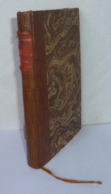
190831 volume in-12° relié toilé imitation lézard, pièce de titre abîmée. Couverture conservée, 140 p. Quelques très faibles rousseurs. Très bon état hormis ces défauts.
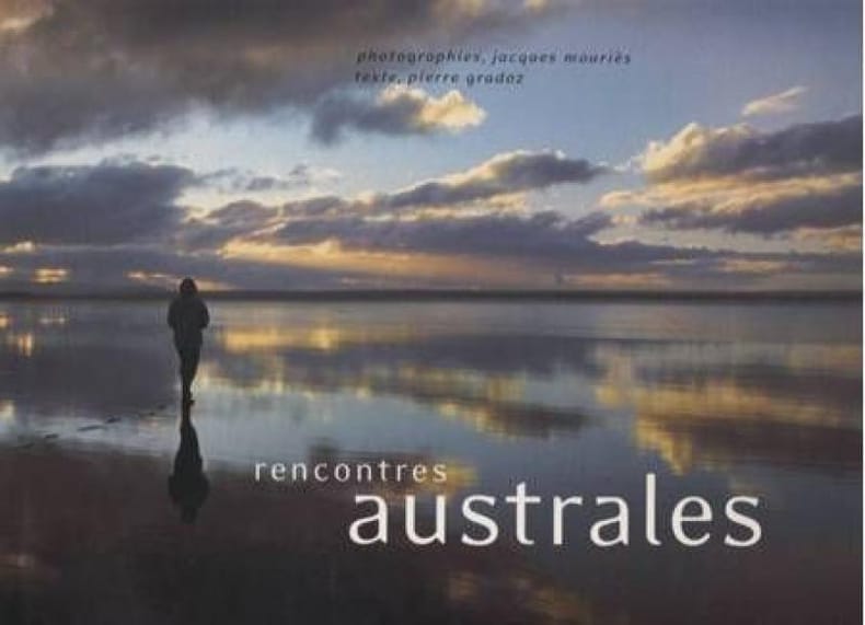
563664Ile de la Réunion, JMO, 2001. In- 4 à l'italienne, rel. cartonnage d'éditeur sous jaq. illustrée, 173 pp., nb photographies en couleurs à pleine page. Texte en anglais in fine.
162261 volume in-8° broché, couverture illustrée, 368 p. + illustrations, tampon de bibliothèque personnelle, annotation simple en page de garde, hormis quelques petites rousseurs et salissures sur la couverture bon état d'ensemble.
Madrid, 2004. 4to. mayor; 268 pp., 1 h. Ilustraciones y 20 láminas aparte. Enc. original.
17884366Paris, Maradan, 1793. 1788 2 vol. in-8° (195 x 131 mm) de : I. [2] ff., 280 pp., [1] f.bl. ; II. [2] ff., 272 pp., [2] ff. bl.; 1 portrait frontispice, 1 carte dépliante, 16 planches gravées. Plein maroquin rouge d'époque, dos lisse orné, pièces de titre et de tomaison de maroquin fauve, filet et frises encadrant des plats, roulette dorée sur les coupes, tranches dorées.
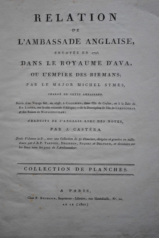
1804P1-4D-4Paris, Buisson, 1804. In-folio (37x28 cm) cartonnage orangé, non rogné (Reliure de l’époque). 2ff- 2 cartes dépliantes – 28 planches. Atlas seul, contenant deux cartes dépliantes et 28 planches de costumes, vues et histoire naturelle, gravées en taille-douce par Tardieu, Delignon, Niquet et Delvaux. Cartonnage un peu frotté, dos manquant, mais intérieur bien frais. Non rogné, sans les 3 volumes de texte. Atlas of the French translation “an account of an embassy to the kingdom of Ava”, 2 folding maps and 28 plates bound in contemp. board, binding worn, the plates are very clean, no foxing or water stain. Size folio (37x28 cm).
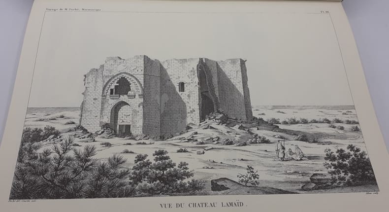
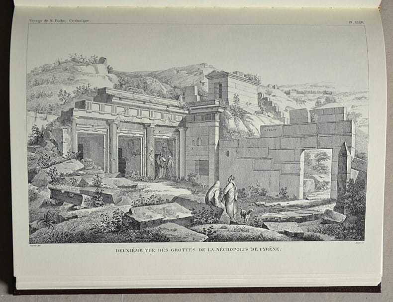
595970Marseille, J. Laffitte, 1979. 1 vol. in-8 (texte) et 1 vol. in-4 (planches), rel. éd. pleine perc. brune, titre doré, T. 1 : XXXII-404-VIII pp., 2 grandes cartes dépliantes, indices et T. 2 : 100 pl. en n/b. (reprod. des dessins et plans illustrant l'ouvrage de Paris,1827).
605117Marseille, J. Laffitte, 1979. In-4, rel. d’éditeur skyvertex brun, titrée en doré, [3]ff. et 100 planches en noir (Université de Paris-Sorbonne IV, Centre de recherches sur la Libye antique – Etudes libyennes, n°1).
184234271842 demi-rel.(plats frottés, carton plié à un angle) manquent le fx-titre, le dernier f. de table. in-8, (1f.), pp.V à X, (1f.), 618pp., 11 lithographies en deux teintes, manque la carte annoncée, Paris Arthus Bertrand 1842,
17454249Paris, chez la Veuve Pissot, 1745. 1745 1 vol. in-8° (197 x 125 mm) de [2 ff.] (titre, Extrait des Registres de lAcadémie Royale des Sciences, du 7 novembre 1745), xvi pp. (préface), 216 pp., [2 ff.] (privilège du Roi) ; une carte dépliante (Cours du Marangnon ou de la Grande rivière des Amazones). Plein veau d'époque, dos à nerf orné. Tranches rouges, pièce de maroquin rouge, (coiffes discrétement restaurées).
Arthaud. 1951. In-8 Carré. Broché, Jaquette. Bon état. Couv. légèrement passée. Dos satisfaisant. Intérieur frais. 96 pages. Illustré de nombreuses photos héliogravées en noir et blanc et en couleur, hors texte. Avec une carte en noir et bleu sur planche volante. Jaquette passée. Page de titre légèrement tachée. 2e édition. Préface de Lucien DEVIES. Photographies de Marcel Ichac, Gaston Rébuffat, Maurice Herzog...
231361 volume in-8° carré, couverture illustrée, 188 p. + illustrations. Très bon état d'occasion.
232161 volume petit in-4° relié plein cartonnage illustré, 155 p. + illustrations. très bon état.
588100London, Brentano's LTD. 1928. In-8, rel. éd. pleine toile noire, dos lisse, titre doré, XXIV-335 pp., front., 9 pl. en n/b. Texte en anglais. Ex-libris armorié du Duc et de la Duchesse de Doudeauville.
1725P1-3K-2Amsterdam, Etienne Roger, 1725-1726. 2 volumes in-12 (15.5x9.5cm) reliés maroquin du levant, cerise époque, dos lisse orné, pièce de titre et de tomaison, filets d’or sur les plats, dentelles or sur les plats intérieurs, tranches dorées. Relié par ANGUERRAND de la Bibliothèque de LAMOIGNON avec le numéro de référence, cachet à la première page. 663pp.-17ff, illustré de 6 planches dépliantes. TOME 5 en 2 parties comprenant Voyage à Formose. TRÈS BEL EXEMPLAIRE, PROVENANCE PRESTIGIEUSE. Chrétien-François de Lamoignon (1735-1789), président à mortier du Parlement de Paris, fut le dernier gardien d’une collection familiale de près de 5000 ouvrages commencée au milieu du XVIIe siècle. Ces livres sont caractérisés par un numéro d’inventaire au dos, un ex-libris imprimé Bibliotheca Lamoniana au contre plat supérieur, avec une côte manuscrite, et un timbre humide L couronné dans la marge de la page 3 du texte. Etienne II Anguerrand, reçu maître en 1747, nommé relieur du Roi en 1767, habilla nombre de ses volumes en maroquin.
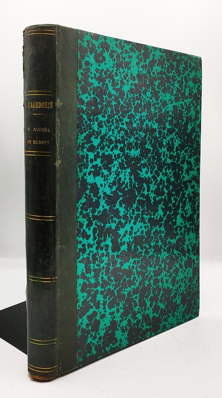
1990R200074548DENOEL / PLANETE. 1990. In-4. Relié. Bon état, Couv. convenable, Dos satisfaisant, Intérieur frais. 119 pages. Nombreuses photos, cartes et illustrations en couleurs et noir et blanc, dans et hors texte. Jaquette en bon état.. Avec Jaquette. . . Classification Dewey : 910.9-Explorations
135851 vol. in-8° br., 47 p. + XXIX pl. + cartes dépliantes et tableaux dépliants, très bon état petits accrocs sur les coiffes.